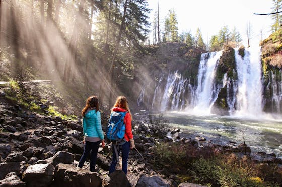
Gaviota Wind Caves

Gaviota Wind Caves
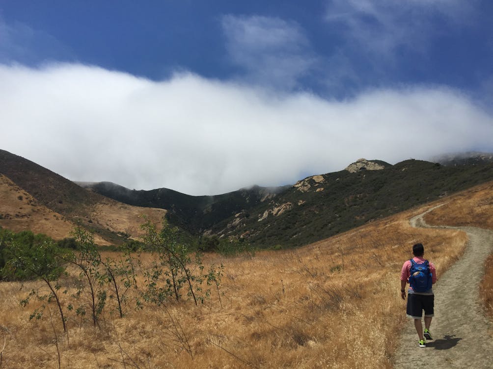
Here’s a time-efficient, leg-busting adventure to unique topography and ocean views where you’ll witness the true power of the elements! Gaviota State Park is home to the 3-mile out-and-back Gaviota Wind Caves Trail, with over 600 feet in elevation gain. After parking in the gravel lot just up the street from the campground, take the paved trail marked by a mountain lion warning sign. The trek starts out flat, surrounded by typical chaparral flora. After just over 0.5 mile, take the dirt singletrack trail to the left, flanked by a state park sign and high grasses.

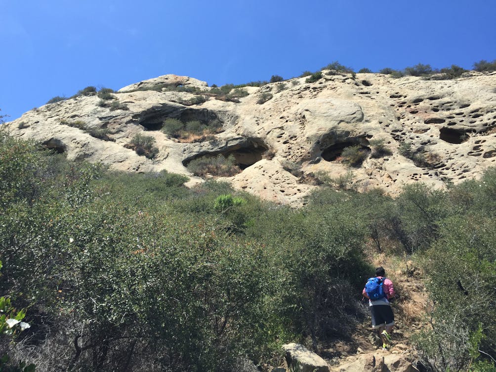
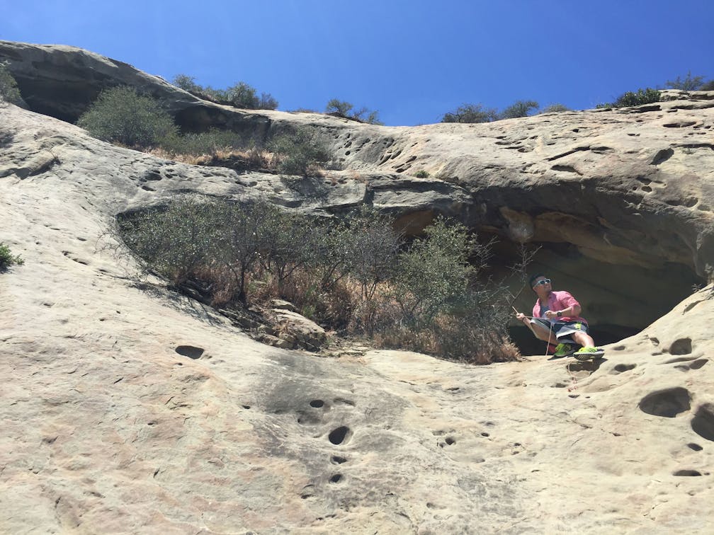
Here, the ascent begins at a nearly 45-degree angle and remains steep throughout the remainder of the way to the caves. Your first wind-eroded cave will be on the ridge to your left and is probably the biggest of the bunch. Rest here in a bit of shade on a hot day or climb to the top and grab a seat on a well-placed boulder overlooking the valley, ocean, and the 101 freeway, which fortunately you’ll hardly notice.

Hiker on a trail to Gaviota Wind Caves

Gaviota Wind Caves


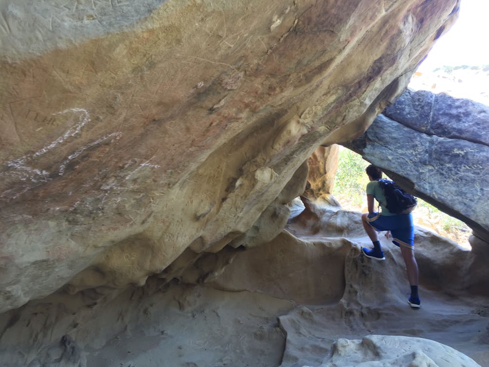
From here multiple steep trails lead to the last group of wind caves, but stay right for the most direct and hiker-used path to the easily identified natural rock formations. The last caves require a challenging scramble, even with naturally eroded foot holes created by the wind and a rope planted by climbers. Admire the incredible panoramic views of the ocean and the occasional train passing over the coastal bridge.

To get to the parking lot and trailhead, take Hwy. 101 N from Los Angeles, and about 30 miles beyond Santa Barbara exit left on Gaviota Beach Rd. At the junction, ignore the left route to the campground and take a right, up the hill. The gravel lot and the trailhead will be on your immediate right. No dogs. 

Trending Stories NorCal

View all Stories
  1. Talk of the Town

    We're spilling the tea on this bountiful 5.5-mile loop to Gossip Rock in Hayward’s Garin Regional Park (currently whispering all the right springtime notes).

    View
  2. Swing into Spring

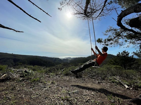
    Swing into this 7.1-mile hike in the hills of Half Moon Bay! It’s got gorgeous views, fields of spring wildflowers, and a hidden rustic tree swing.

    View
  3. The Carson Show

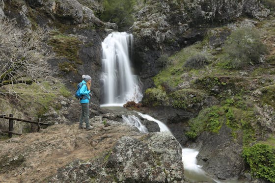
    Carson Falls is ready for primetime. This three-tiered, 100-foot stunner is hidden back in a canyon outside of Fairfax and reached on a 3.25-mile (round-trip) hike.

    View
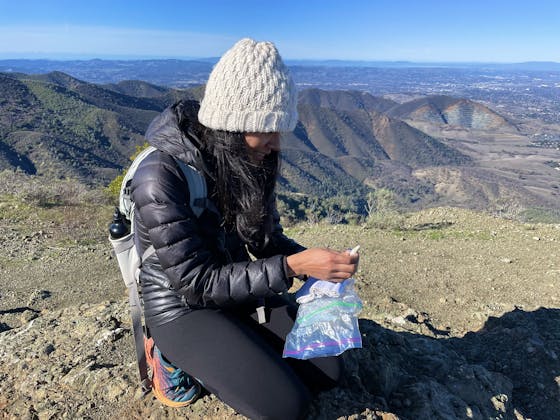
  4. woman kneeling and signing peak book at Mount Olympia in Mount Diablo State Park

    Double Up on Diablo

    Set the tone for 2024 with this twofer summit hike at Mount Diablo State Park. Embark on a 7-mile out-and-back up Mount Olympia and Diablo’s lesser-known summit, North Peak.

    View

Trending Stories SoCal

View all Stories
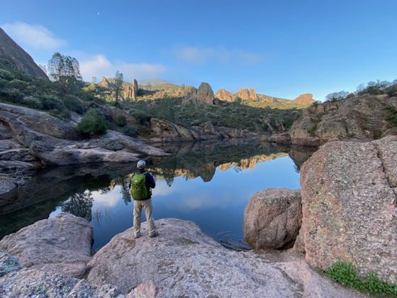
  1. Hiker overlooking Bear Gulch Reservoir at Pinnacles National Park near Monterey

    Pinnacles of Spring

    Why hike at Pinnacles National Park? Spring's a beautiful time of year here. And you might spy the magnificent California condor soaring while you gain soaring views from the High Peaks Trail.

    View
  2. Caves in Mojave

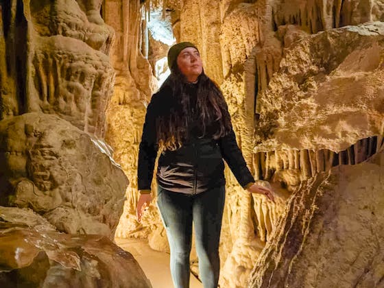
    No one expects to see caves when they visit the desert, and that’s part of what makes Mitchell Caverns in the Mojave Desert such an interesting place. Go on a two-hour guided adventure tour through Mitchell Caverns in Providence Mountains State Recreation Area.

    View
  3. Hikers by the reservoir at Triunfo Creek Park near Thousand Oaks

    Triumphant in Triunfo

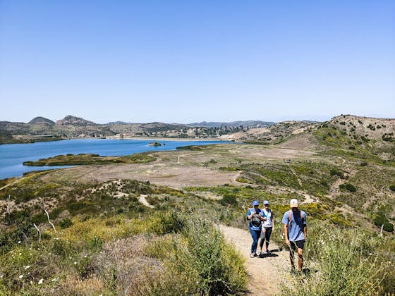
    Go on a hike with a peaceful reservoir, charming meadows, and beautiful spring blooms at Triunfo Creek Park near Thousand Oaks.

    View
  4. William Kenyon Overlook

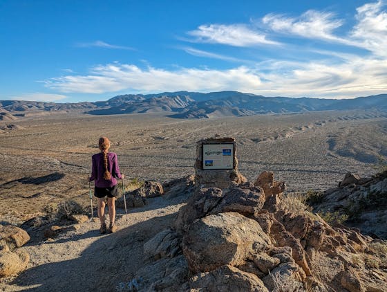
    Some of the best vistas of Anza-Borrego Desert State Park are easily accessible via a short and sweet 1.25-mile (round-trip) hike just off the CA-78. Enter your next favorite desert viewpoint: the William Kenyon Overlook.

    View