Turnbull Riding

Cycle Turnbull Canyon

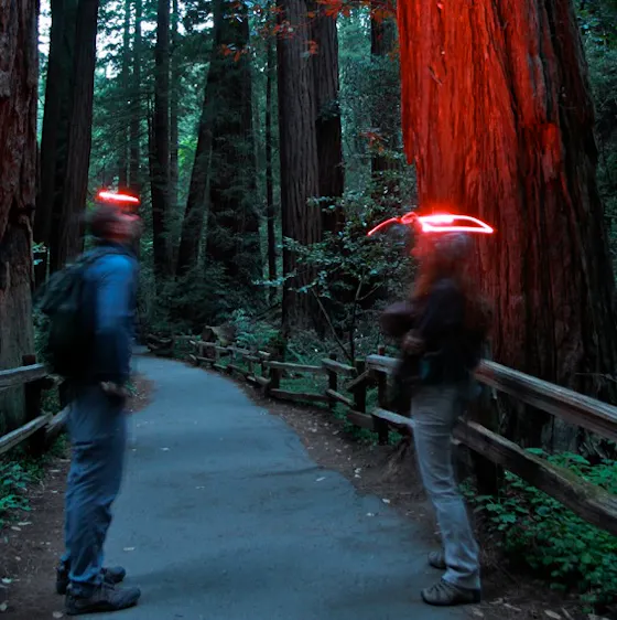
Cyclists who like to climb, rejoice! Sandwiched between Whittier and Hacienda Heights is a range of high hills and deep canyons for pushing your limits, along with a café for refueling. Highlighting this 18-mile loop is Turnbull Canyon, a twisting stretch of road perfectly suited to climbing. Launch from Manzanita Park in Hacienda Heights for a warm-up cruise through quiet neighborhoods. From the 60 Freeway, exit at Hacienda Boulevard and go south to Newton Street. Turn right, and then right again onto Kwis Avenue to the park. Ride from the park to a wide boulevard leading to Whittier. Zigzag down to the Whittier Greenway Trail, a former railroad line turned recreation path traveling through town toward the San Gabriel River. The route rolls toward the historic Uptown Whittier area and temptingly close to Mimo's Café (a mid-ride rootbeer float might give you the extra boost you need for what's ahead). Turnbull Canyon is a 2.5-mile climb at a 5% average grade, with switchbacks. You'll gain 200 feet and enjoy eagle-eye views of the valley below. Note: The road is a bit narrow, but traffic is generally light; even so, use caution (after a rain, a muddy and slippery glaze coats the road on the west side). Once over the top, the descent is loaded with fun, swooping turns on the canyon's eastern flanks for a long coast back to the starting point.

From Manzanita Park in Hacienda Heights, ride north on Kwis Ave. to Los Robles Ave. Turn left and then left again onto Turnbull Canyon Rd. (This is the lower road with the same name as the canyon road proper.) In one block, veer right onto the main canyon road. Wind your way through the canyon and then make a quick left on Los Altos Dr. At S. Vallecito Dr. turn right and ride to Camino Del Sur. Go left for one mile to Colima Rd. and turn right. This is a busier road but has a wide shoulder. Follow Colima for 1.7 miles to a right turn at Mar Vista St. In 0.5 mile turn left on Catalina Ave. Follow Catalina 3 blocks to Whittier Blvd., turn left and then make a quick right onto Gunn Ave. In 0.5 mile is the junction with the Whittier Greenway Trail. Turn right and follow the trail 2.6 miles to Philadelphia St. and turn right for 0.5 mile to Greenleaf Ave. Turn left to Mimo's Café, keep rolling to Broadway and go right to Painter Ave. Turn left and go one block to Beverly Blvd. and right to start the climb up Turnbull Canyon. At the junction with the lower Turnbull Canyon Rd., turn left and follow your route back to the trailhead.

Trending Stories NorCal

View all Stories
  1. Perles Beach Angel Island San Francisco Bay

    Secret Beach

    A hidden beach and a killer view? Those are hard to come by, but that’s exactly what you’ll get at Perles Beach on Angel Island. Bike or hike to this beautiful pocket cove.

    View
  2. Cinematic Sonoma

    Longer days. Golden light. Wildflowers in bloom. It’s the perfect moment to plan your spring escape to Sonoma for the Sonoma International Film Festival, March 25–29. No fuss. No sprawl. Just films, friends, fresh air, and that unmistakable Sonoma glow.

    View
  3. Hike Pescadero Marsh Natural Preserve

    Mellow in the Marsh

    Beach, birds, ice plant popping purple flowers: That’s a hiking slam dunk! Hike about 2 miles at Pescadero Marsh Natural Preserve using their easy to navigate (well-signed) Sequoia Audubon Trail.

    View
  4. A man is looking through his binoculars at sunrise at the Bayland Nature Preserve in Palo Alto

    Baylands Bird & Art Loop

    Combine an outdoor art walk and wildlife sightings at the Baylands Nature Preserve in Palo Alto. This 5-mile loop through Byxbee Park and the Emily Renzel Wetlands features striking installations by artists Peter Richards and Michael Oppenheimer—where the landscape itself becomes part of the canvas.

    View

Trending Stories SoCal

View all Stories
  1. Tree Town

    Home to an estimated 21,000 trees and 100 acres of parkland, South Pasadena has earned its nickname: the City of Trees. This 2.5-mile neighborhood walk lets you experience its leafy canopy up close, winding through charming streets and three of the city’s beloved parks.

    View
  2. A Better Way to Baldwin

    The Baldwin Hills Scenic Overlook in Culver City is one of West L.A.’s most popular hiking spots, but most visitors miss the bigger picture. This 3.5-mile out-and-back along a section of the Park to Playa Trail offers a fuller experience of this gorgeous nature park with sweeping urban views and a few artistic surprises along the way.

    View
  3. Sponsored

    Warm Up to Winter in Reno Tahoe

    2026 is just getting started, but there’s one place already rising to the top as the best for adventure and relaxation: Reno Tahoe. The awe—and ahhhs—begin as soon as you arrive. G

    View
  4. A woman standing at the pond's edge at Ernest B Debs Regional Park in Los Angeles. Trees are making reflections on the pond.

    Urban Oasis Loop

    Home to the city’s Audubon Center, Ernest E. Debs' 282-acre park features a robust network of hiking trails and surprising wildlife diversity. More than 140 bird species have been spotted here. Birdwatcher or not, this 2.5-mile route makes for a gorgeous outing.

    View