River, Meet Ocean

Exploring the Ventura River Estuary

The city of Ventura is officially known as Buenaventura, meaning “good fortune.” That applies to one of the least-known but most abundant estuaries in the region, where the Ventura River meets the Pacific Ocean at Emma Wood State Beach. If you have the good fortune to visit, you’ll have a chance to see a wide variety of winged creatures from waders to waterfowl as well as shore, sea, and land birds. Common resident sightings at this particular spot include coots, cormorants, killdeers, egrets, and even ospreys.

After you park, grab a map and head for the 1.5-mile Ocean’s Edge Trail just past the picnic area on the right edge of the grounds. The path immediately meanders under the railroad bridge and curves left along the cobblestone-covered shore, where kiters share the space with in-sync flocks of sandpipers and sanderlings. The trail continues across a coastal dune environment until reaching the estuary at the 0.67-mile mark. The water is brackish here, a mixture of fresh and salt, which helps account for the great variety of fowl.

Before heading inland to complete the loop, note that just south of the estuary is an elevated bike trail heading east. This 0.5-mile path leads to Ventura’s Main Street, a prime starting point for exploring the city’s charming downtown. Otherwise, directly north of the estuary is a narrow path (called the River’s Edge Trail) leading inland among Monterey pines and thick palms. Follow this along the water to the train tracks and carefully cross them. Stay right at the junction as the peaceful, shaded trail maneuvers through tall brush back to the campground, parking lot, and hopefully a continuation of good fortune.

To get to the Emma Wood State Beach day-use and campground lot from the south, take US-101 north to the California St. exit and turn right, followed by an immediate left onto Thompson Blvd. Follow this for 0.7 mile, turning left on Main St. After another 0.7 mile, turn left on Park Access Rd., which leads into the park.

From the north, take US-101 south to the Main St. exit and turn right immediately onto Park Access Rd.

Park in the protected day-use area ($10) or just outside on the street. No dogs on trail.

Trending Stories NorCal

View all Stories
  1. Bear Hug

    This 5.5-mile loop through Coyote Lake-Harvey Bear Ranch County Park explores one of the newest segments of the acclaimed Bay Area Ridge Trail, one redolent with trees ranging from madrone and manzanita to buckeye and blue elderberry (with a bubbly post-hike bonus).

    View
  2. Field of Light at Sensorio in Paso Robles

    Light This Way

    Hidden in the bucolic hills of Paso Robles lies one of the greatest light shows on earth. The lighted art exhibition, Sensorio, is as if the rainbow magic of the aurora borealis was plucked from the sky and planted in the fields.

    View
  3. Bikers and walkers on the Bay Area Ridge Trail with the Golden Gate Bridge behind them

    National Park City Walk

    See San Francisco the way locals do by hiking the Presidio, a national park right in the city! Wooded trails, secluded beaches, and epic views of the Golden Gate Bridge feature on this 5.5-mile out-and-back on the Bay Area Ridge Trail. It’s a lovely slice of the City by the Bay.

    View
  4. Bucks Up!

    Come on in, the water is beautiful. Whether you like swimming, kayaking, stand-up paddling, or heading out on a bigger boat, Bucks Lake is a high mountain haven that’s easy to access, blissfully uncrowded, and surrounded by sandy beaches, picnic areas, pines, and aspens.

    View

Trending Stories SoCal

View all Stories
  1. Sponsored

    Tram to Cool Treks

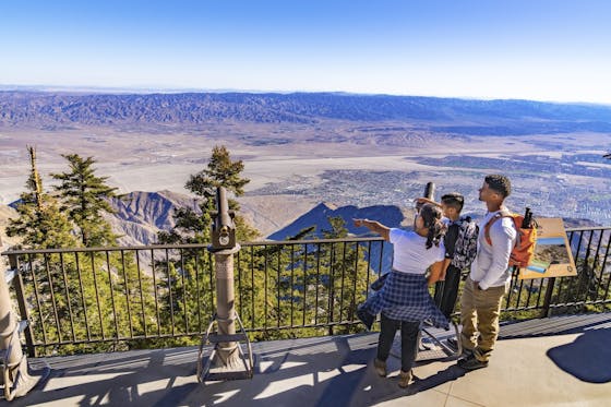
    Elevate your fun, getting whisked from palm trees to alpine wilderness on the world’s largest rotating tramcar. The Palm Springs Aerial Tramway transports you up and away on a 2.5-mile scenic route from the desert floor to the refreshing wilderness of Mount San Jacinto State Park.

    View
  2. Coming Up Roses

    Looking to spice up your hiking life? Give your partner a rose—Mount Rose! The 10-mile out-and-back peak hike goes up to one of the grandest views in all of Lake Tahoe. Get ready f

    View
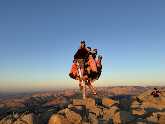
  3. A group of people clamored around the summit marker at Mission Peak in the Bay Area

    Your Mission Is Less Crowded

    Mission Peak is one of the Bay Area’s most popular mountains, with many hikers climbing every weekend. Skip the crowds with this 6-mile loop up the less-traveled southern route.

    View
  4. Vista Hermosa Park in Echo Park Los Angeles

    Vista Hermosa, Echo That!

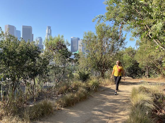
    Tucked in Echo Park, the little-known gem of Vista Hermosa Natural Park feels worlds away thanks to its serene beauty and thoughtful design. At 11.5 acres there’s still plenty to explore. And it's got a premier view of the iconic Los Angeles skyline.

    View