Rocky Picture Show

Fall Color Hike to Suicide Rock in Mount San Jacinto State Park

Suicide Rock Mount San Jacinto State Park

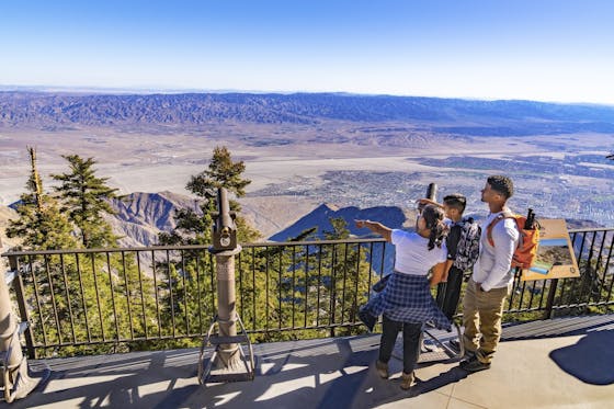
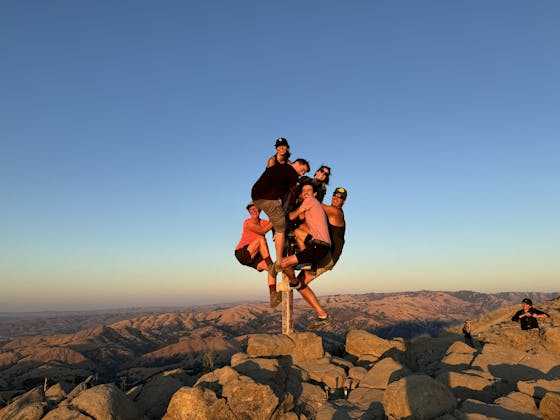
Suicide Rock near Idyllwild is a SoCal hot spot for changing colors in the fall, and a great workout as well. The 6.3-mile (round-trip) out-and-back hike gains 1,853 feet as it rewards you with autumn yellows and sweeping views of Mount San Jacinto and Tahquitz Peak.

Suicide gets its name from a legend about two Cahuilla Indian lovers whose love was forbidden. Instead of living apart, they decided to throw themselves off the cliffside together.

Deer Springs Trailhead is a short walk from the parking area. Make the first left and you’ll immediately be met with towering Jeffrey pines on either side. You’ll then come across the trailhead sign. The first mile is mostly lined with evergreen foliage and chaparral.

Close to the second mile is when the yellowing leaves of black oaks become prominent. You’ll also come across sections of manzanita, with its smooth red bark.

At about 2.5 miles is a trail junction where you should make a right onto Suicide Rock Trail to head toward your goal. At the fork you’ll see the prominent form of Tahquitz Rock, as well as Tahquitz Peak standing behind it. These two features are in clear view for most of the next mile, and the panorama is even better from the top of Suicide Rock. When you come across a large clearing in the trail and a massive rock plateau to the left, you know you’ve arrived.

From the CA-74 in Hemet, go east to the CA-243 and turn north. Continue for about 5.5 miles. Parking for the trailhead is directly off Hwy. 243 between Point of Rocks Dr.and Cedar Glen Dr. Parking coordinates: 33.753099, -116.722758. A free permit is required for this hike, which you can pick up at the Mount San Jacinto State Park Ranger Station, 54270 Pine Crest Ave., Idyllwild. No dogs.

Trending Stories NorCal

View all Stories
  1. A woman stands at Dante's View in Death Valley, looking out to Telescope Peak and Manly Lake, Badwater Basin below.

    Sunset Hike (and Manly Lake Vista!) at Dante's View

    It’s one of the world’s best places to watch a sunset. Dante’s View is a 5,476-foot vantage of the whole southern basin of Death Valley from the top of the Black Mountains. On clear days you get views of both the highest and lowest points in the contiguous U.S. 

    View
  2. The Carson Show

    Carson Falls is ready for primetime. This three-tiered, 100-foot stunner is hidden back in a canyon outside of Fairfax and reached on a 3.25-mile (round-trip) hike.

    View
  3. Sugarloaf Ridge State Park waterfall hike in Sonoma Valley

    Sweet as Sugarloaf

    Right in the heart of wine country there’s plenty more than wine flowing right now, with an oft unheralded waterfall that surges to an exuberant spectacle from all the recent rain.

    View
  4. Taking the Stage: Tyler Ranch

    Hike the recently opened Tyler Ranch Staging Area in Pleasanton Ridge Regional Park, with 18 miles of new trails. This 6.5-mile loop up Sunol Peak is a challenge and rewards with exceptional views of seasonal iridescent hills.

    View

Trending Stories SoCal

View all Stories
  1. Rise and Shine Zabriskie Hike

    The sunrise at Zabriskie Point makes a grand entrance, with the light ascending slowly and washing over the golden badlands. It’s signature Death Valley. It’s also a great starting point for one of the Valley’s marquee hikes.

    View
  2. Kelso Dunes

    The hike to the top of Kelso Dunes in the Mojave National Preserve is only 3 miles (out and back), but you’ll feel like you’ve hiked much farther by the time you’re done.

    View
  3. Woman on Mesquite Flat Sand Dunes at Death Valley National Park

    Starry Night & Dark Sky Adventures

    You don’t have to stay out all that late to experience eminent stargazing at Death Valley National Park. The park's been given the highest ranking of darkness by the International Dark-Sky Association. Here are a trio of amazing ways to witness the mesmerizing night sky at Death Valley:

    View
  4. Woman at the Martin Luther King Jr. Memorial Tree Grove in LA

    LA's Memorial to MLK

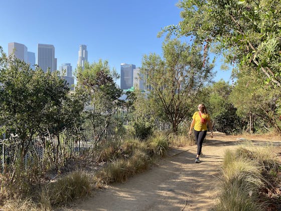
    The 400-acre Kenneth Hahn State Recreation Area is home to trails, lawns, picnic areas, and—at the park’s highest point, overlooking LA’s skyline—the Martin Luther King Jr. Memorial Tree Grove.

    View