Carson Calling
Find the Hot Springs at East Fork Carson River

Along the banks of the East Fork Carson River, brushing the California–Nevada border, sits a series of hot spring pools surrounded by high desert. The springs have for years been a sanctuary for rafters and kayakers making their way down the river, but ambitious hikers and backpackers can also make the 10.2-mile (round-trip) trek to the blissful 103-degree tubs.
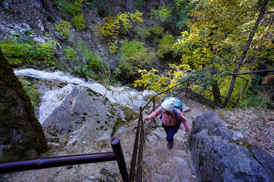
The trailhead starts in a grove of ponderosa pines off Scossa Canyon Road near Markleeville. From the trailhead, follow the Forest Service road to the northeast. The trail forks in three different locations; bear left at the first fork 500 yards into your journey and again at the second after another 500 feet following the trail north. Bear right at the third fork, taking the trail to the northeast. Here you’ll start your ascent up the narrow dirt path to the top of the ridgeline. From there, the trail continues to go up and down over several hilltops. To the east, you get expansive views of the countryside, where the pine-covered Sierra meets the sagebrush-filled basin. To the west, snow-capped mountains tower over country towns. The ridgeline does a fair bit of winding, but at certain points you’ll be able to see the river below. (You can also see a road that leads to the river from the opposite bank, which is a good marker to let you know you're headed in the right direction when you can’t see the East Fork Carson River itself.)
Just before you start your descent, the springs come into view, but you’ll have to earn your soak on some serious downhill grades. Some people veer slightly off the trail to take a more gradual decline. Two springs greet you at the bottom of the valley. A smaller spring further from the river runs a little on the hot side. A bigger pool built into the cliff overlooking the river stays a more inviting temperature. The spring water rushes over the rock tub, creating a small waterfall into the river, and leaving a path of mesmerizing neon orange and yellow moss.
Bonus Camping: A nighttime soak in the springs, shooting stars, and rushing water as your evening soundtrack: yes, please. Plenty of campsites are available at the springs for backpackers. The unofficial wilderness campsites are called Barney Riley camping. The spots have fire pits, but no other amenities are available. When the water is low and the river is crossable with four-wheel drive, the camp sites can fill up, but this time of year the water may be too high to cross and the campsites are only accessible by foot or raft.
From CA 89 S turn left on Diamond Valley Rd. in Woodfords, CA. Continue on Diamond Valley Rd. for 4.1 miles. Turn left onto Airport Rd. and continue for 1.3 miles. From Airport Rd. turn left onto Scossa Canyon Rd. Small cement blocks act as a street sign painted with “Scossa CYN”; cairns and a white arrow painted on a rock also mark the turn. Continue on Scossa Canyon Rd. for 0.7 mile. When the road forks, follow it to the left. There is private property to the right. A green “Detour” arrow points you in the right direction. Park in the Ponderosa Pine Grove. A campsite is also available in the Ponderosa Pine Grove at the trailhead, in case you get to the trailhead late and want to start your journey to the springs in the morning. No amenities are available at the site, and there are no water sources nearby. Dog-friendly!


