Get Into The Grove
Go on a Short Hike at Oak Grove Park in Pasadena


The 1.8-mile Oak Grove Park Loop trail in La Cañada is short, easy, and close to the city; meaning it’s a perfect destination for a quick holiday hike. It’s definitely an urban hike—the majority of it is right next to civilization—but there is enough flora and fauna to give you a nature fix.
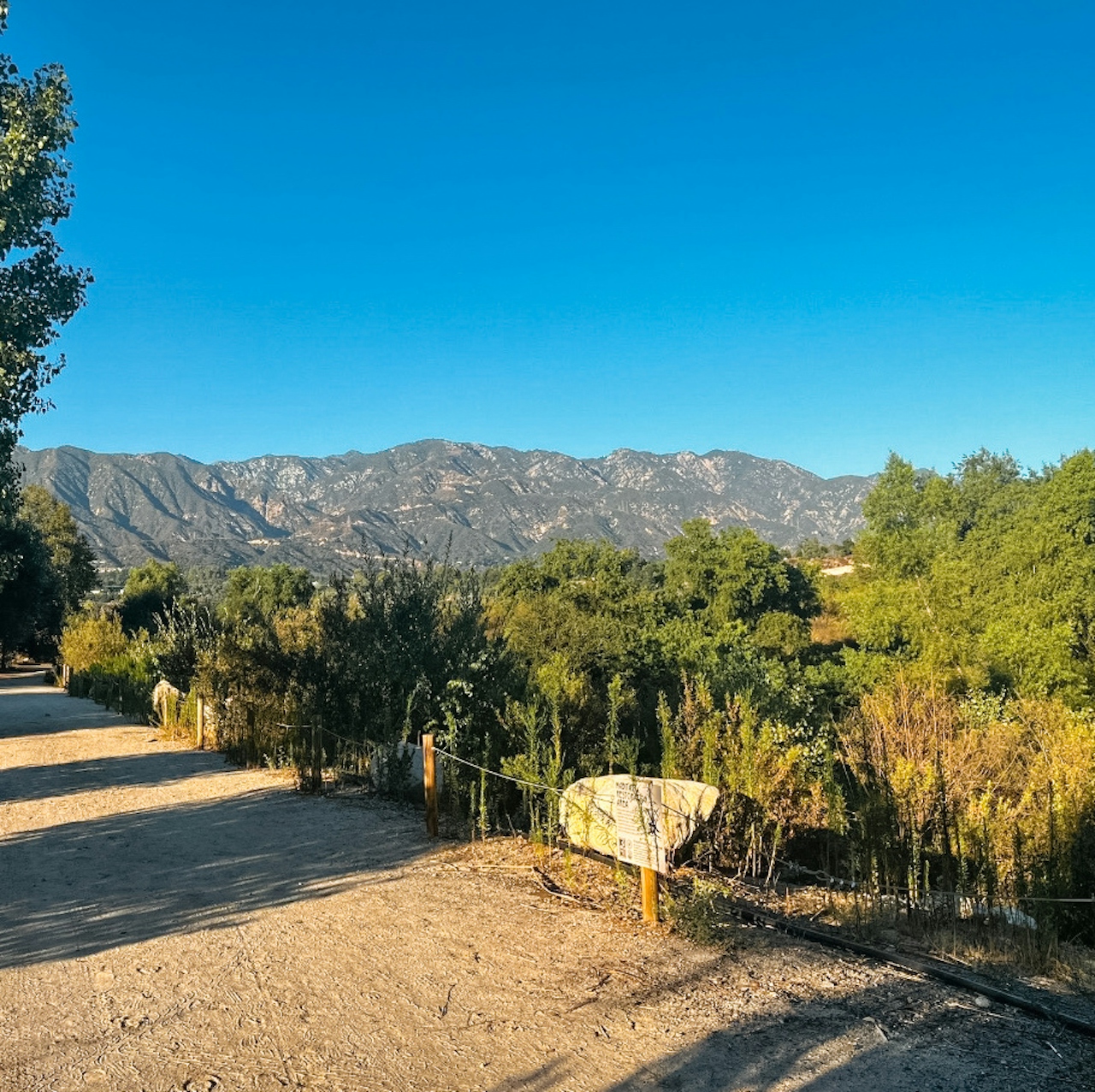
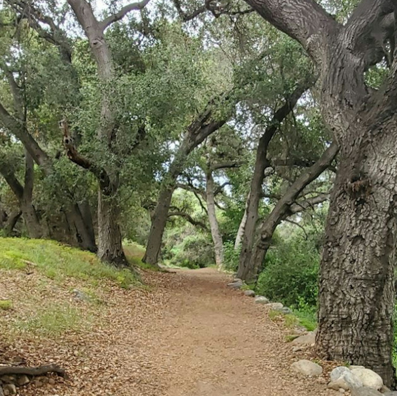
From the parking lot in Hahamongna Watershed Park (from the native Tongva, meaning “flowing waters, fruitful valley”), start out on the West Rim Trail to begin your clockwise loop through the 1300-acre park.
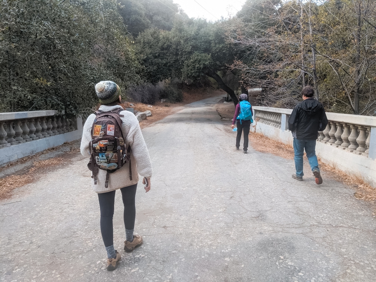
The trail is nice and wide, making it easy to follow as the light starts to fade. It parallels Oak Grove Drive for a while before turning into the park as you round the equestrian center (this is also a popular trail for horseback riding). During this section you’ll have NASA’s Jet Propulsion Laboratory on your left and the equestrian center on your right until the trail dead-ends at a bike path. Head right, either along the bike path or on the trail right next to it, to continue your clockwise loop.
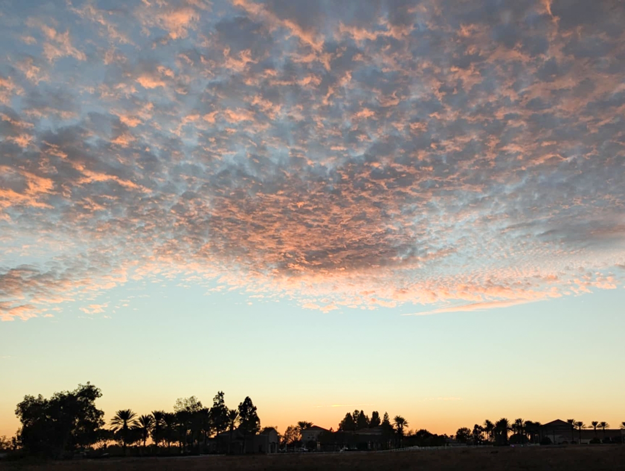
The next stretch of trail passes alongside the Arroyo Seco (a 25-mile-long seasonal river, canyon, and watershed), flanked by oak trees, California sagebrush, and wild mustard. Continue along the main trail until you see a trail on your right-hand side that will lead you back towards Oak Grove Drive.
After approx. 0.3 mile you’ll encounter another trail on your right that will take you parallel to the street and back to where you started. {While this park isn’t exactly the wilderness, due to the number of offshoot trails it’s a good idea to have a trail map downloaded ahead of time or have your phone map handy, especially if you go exploring and need to get back on track.} Sunset tip: This is an easy trail and generally takes under an hour to complete.
To avoid being in the park after closing, aim to have three quarters of a mile of your hike completed before the official sunset time. And an added bonus: You might get to see bunnies, toads, and lots of birds.
Hahamongna Watershed Park is open from 6 a.m. to sundown, with plenty of free parking. Dog-friendly. Map.
Story and photos by Natalie Bates, @wanderwithnatalie







