Sublime in Sanborn
Hike Summit Rock Loop in Sanborn County Park


Located right next door to Castle Rock State Park, lesser-known Sanborn County Park packs mighty beauty within a small hike on the 3-mile Summit Rock Loop.
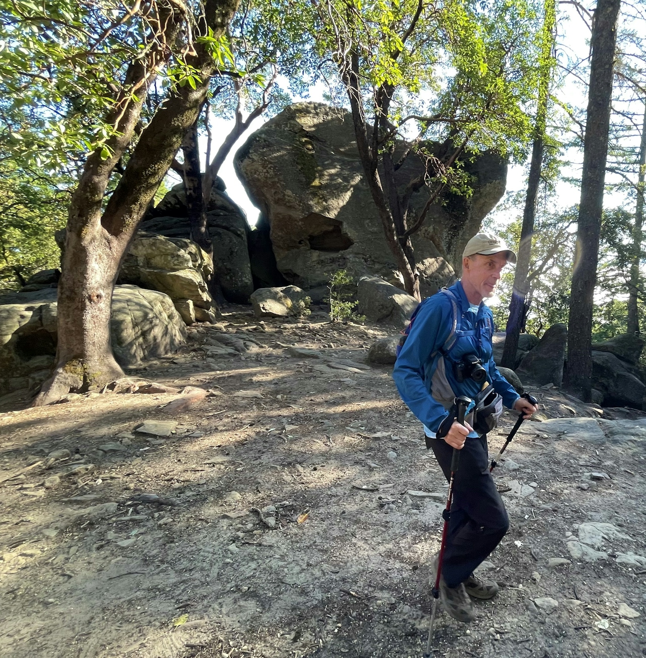
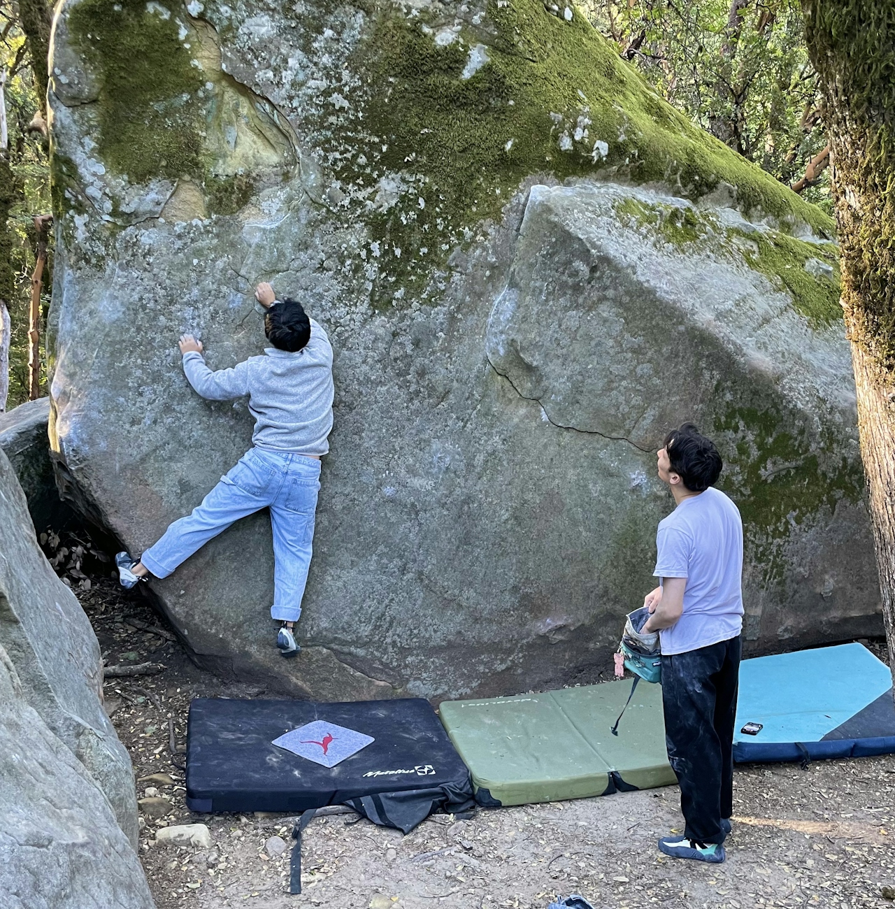
From the Indian Rock Trailhead, turn left onto Skyline Trail, a cool, shady route through the forest of redwoods and tanoaks. Huge boulders line this section of trail, perfect for beginner-level rock scrambling, and an easy walk from the trailhead with a crash pad for more advanced climbers.
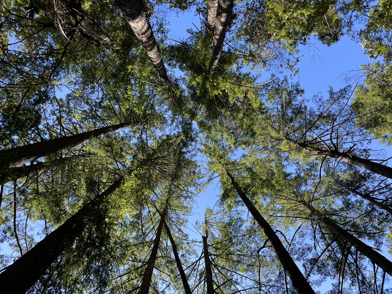
Continue hiking, then turn right onto the Summit Rock Loop Trail. As hikers descend into the woods, some last beautiful blooms of springtime might still line the route, including the bright violet lupine, larkspur, and blue dicks blossoms. Rock-hop across Bonjetti Creek, and keep an eye out for critters like the northern alligator lizard.
As the trail begins to ascend, you might catch some lingering wildflowers—from the elegant yellow-tinged irises to the trumpet-like red larkspur. At the intersection with Summit Rock Trail, check for trail closure signs. Summit Rock is a seasonal nesting ground for peregrine falcons, and lucky visitors can spot these raptors soaring overhead, but it’s important to leave their nests undisturbed. {NOTE: Summit Rock is currently closed until August 30, 2024. When Summit Rock is open, it’s a fantastic spot for rock scrambling and enjoying stellar views of the surrounding Santa Cruz Mountains.}
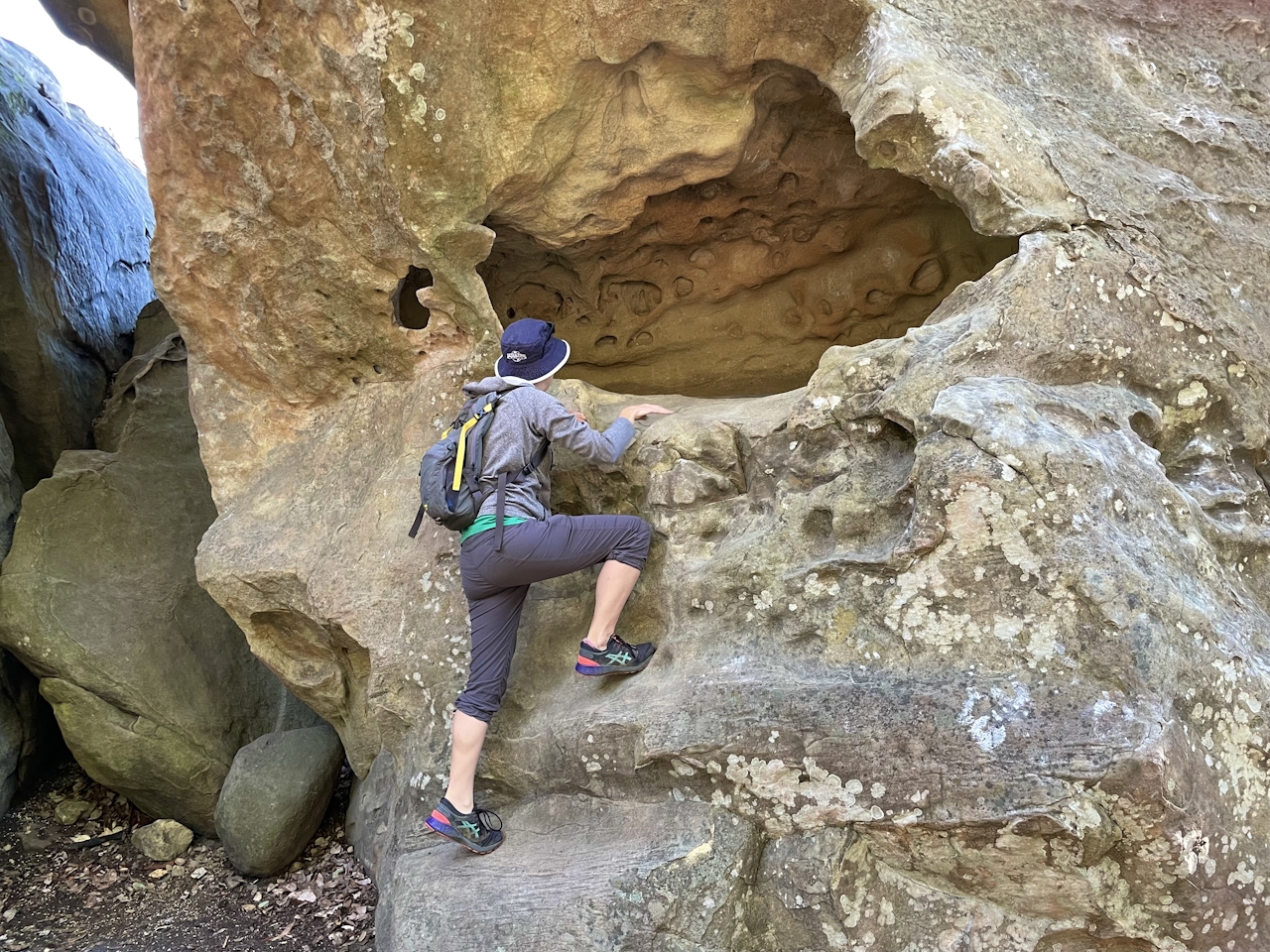
Turn left onto Skyline Trail to return back to the Summit Rock Trail intersection, and continue straight to the Indian Rock Trail. Turn left and hike for 0.1 mile to reach Indian Rock. This huge sandstone boulder includes mini-caves carved by millennia of erosion—fun to explore and a great photo op!
After clambering among the rocks, retrace the route back to the intersection, then continue straight to the parking lot.
The Indian Rock Trailhead is located on Skyline Blvd. in Saratoga. Sanborn County Park is open from 8 a.m. to sunset. Dog-friendly!
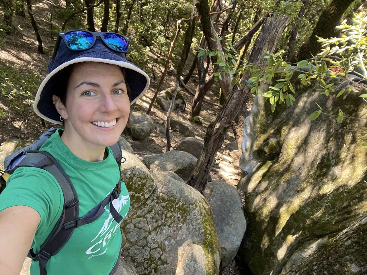
Story and photos by Heather Werner, @heath.er.wer.ner







