The Excellence of Etiwanda
Hike the Etiwanda Preserve Loop in San Bernardino County
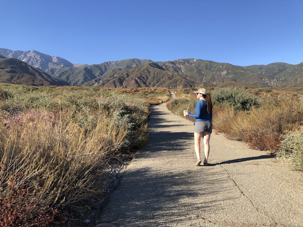
The Etiwanda Preserve Loop is a perfect trail to hike slow and enjoy the views. This 3.3-mile loop trail circles the base of the preserve, giving you a chance for some solitude as it is the less-visited section (most people skip this part and just visit the waterfall).


The trail climbs 603 feet in elevation before making its way back down around the mid-point, offering epic views every step of the way. The loop can be hiked in either direction, but going clockwise leads to a slightly gentler grade for the uphill.

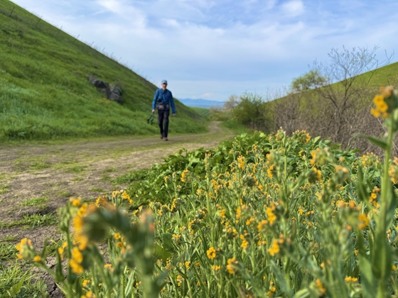
When you approach the gate entering the preserve, head to the left, down the fire road. The first half mile of trail follows this road, with views of suburban Inland Empire to your left, and the foothills of the San Gabriel Mountains to your right. After a half mile you’ll see a junction—make a right, heading towards the mountains. Soon you’ll see a sign marking the boundary of the Etiwanda Preserve; once you cross the boundary, the hike gets more fun!
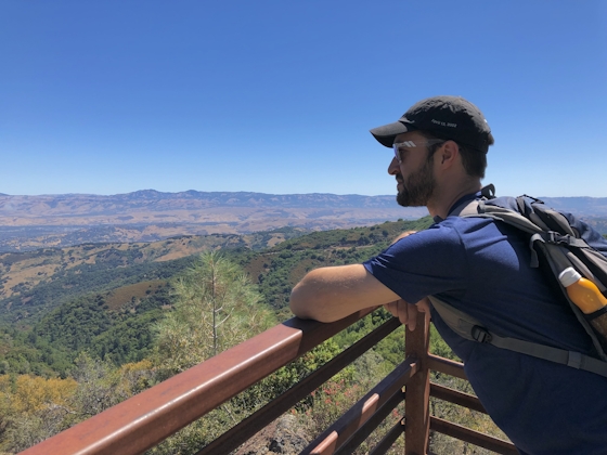
There are frequent informational placards throughout the trail teaching you about everything you see around you: the geology, plant life, water management, etc. Short detours will take you to a platform overlooking a freshwater bog (during wet seasons), and another leads to a viewpoint with signs labeling the surrounding mountain ranges and points of interests (in case you want to know what you’re looking at). Both detours are right next to the trail and the added mileage is negligible, so it’s definitely worth spending a few minutes to learn more about the area.
As you make your way around a fenced-off drainage area, you’ll reach a junction marking the halfway point of your hike and the highest point of your climb; take the fork to the right and begin making your way back down. Throughout the hike you’ll see lots of small trails breaking off, but for this loop you’ll always want to stay on the big, wide trails (usually wide enough to fit a car). As you hit junctions, continue heading right to form a loop.
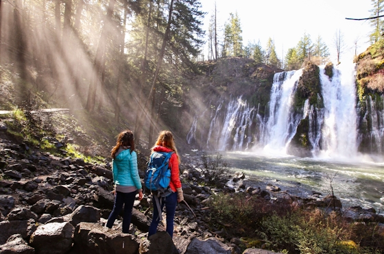
Throughout the entire hike the views remain much the same: towering mountains on one side, panoramic views on the other, making it nearly impossible to lose your bearings, even if you get tempted by one of the offshoot trails. The preserve is fairly small but has lots of cool things to see (including the popular Etiwanda Falls).


PSL BONUS: Bad Ass Coffee of Hawaii in Rancho Cucamonga features fall drinks such as Island Pumpkin Pie, Maple Wave, and Caramel Apple. Bad Ass Coffee is located at 11460 Kenyon Way, Rancho Cucamonga. Open Monday to Friday 5:30 a.m. to 6 p.m., Saturday 6 a.m. to 6 p.m., and Sunday 7 a.m. to 6 p.m.

The Etiwanda Preserve is open daily from sunrise to sunset (sunset time is posted at gate). Gate locks at sunset, so be sure to be out of the parking lot before then. Parking is $3, payable online using the QR code posted throughout the parking lot. Map. This is an ecological preserve, so no dogs allowed.
Story and photos by Natalie Bates, @wanderwithnatalie
Bring the Outdoors to Your Inbox
Sign up for our weekly email and stay up to date on where to explore in California.
* No spam, that's a funky food!