Constant Condor
Hike to Condor Peak in the San Gabriel Mountains

Named for the beautiful California condor that used to frequent the area, Condor Peak is one of the less traveled hikes in the San Gabriel Mountains. Probably because it’s 16 miles (round-trip)! The route follows much of the same trail you would take to nearby Fox Mountain peak. Get an early start for this challenging adventure, best done during the cooler months, due to the exposure on the trail. Give yourself plenty of daylight.

The trail is easy to follow as it winds around the mountain on the ascent. Desert plants like manzanita and yucca line the route, which is currently well-maintained but can be severely overgrown (long pants and sleeves are a good consideration for layering). There are two stream crossings.


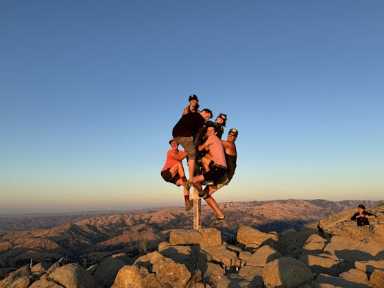
As you hike, you’ll gain views of the Big Tujunga Dam to the east. After about 6 miles, you’ll spot the trail to Fox Peak heading up to the right, but you want to go left and follow the ridgeline of the Condor Peak Trail. This section is a bit of a rollercoaster, up and down, but eventually you come to the final hill to climb up. This last stretch of trail, about a quarter-mile long, is not as defined as the previous trails, but as long as you keep heading up, you’ll reach Condor Peak and find yourself completely surrounded by the western San Gabriels, including nearby Mount Lukens, the highest point in the city of Los Angeles.
NOTE: This is a long hike at 16-miles (round-trip). It's for experienced hikers who can manage the distance. Allow yourself plenty of time to do this hike and bring plenty of water and snacks. Directions to parking lot trailhead at 34.28907027332574, -118.22487016685561: From Downtown Los Angeles take the Glendale Fwy. (CA 2) North to I-210 West. Take Exit 11, and head east on Sunland Blvd. Turn left onto Oro Vista Ave. and continue onto Big Tujunga Canyon Rd. Stay on Big Tujunga Canyon Rd. for 6.7 miles and park in the dirt lot on your right. Once parked, you will cross the road to the trail and start your climb. Dog-friendly!
Story and photos by Breonna Carter, @mountainsquake


