Malibu-tiful
Hike to Escondido Falls in Malibu California


{JANUARY 2023 NOTE: Stay safe. Wait until storms have passed before hiking any trails, and before heading out, be sure to check official websites for updates on trail status, closures, hazards, etc. Expect wet, muddy, and slippery trails, and exercise caution and good judgment, including with water crossings. Do not cross swift flowing waters. Proper hiking shoes are essential, and an extra pair of socks to change into is recommended. We also recommend waiting a week or so post-rains to let conditions calm down, and keeping up to date on trail conditions.}
Malibu is often heralded as the quintessential California beach town: 27 miles of coastal beauty and thousands of acres of neighboring parkland. This shoreline city certainly deserves multiple visits, but sometimes you want to cram it all into one adventure. Enter Escondido Falls; despite its name meaning “hidden” in Spanish, this is a very accessible 3.75-mile out-and-back trek highlighting much of what makes Malibu beautiful.
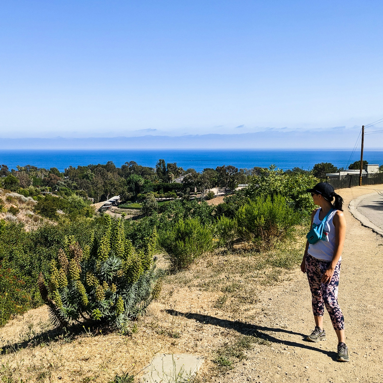
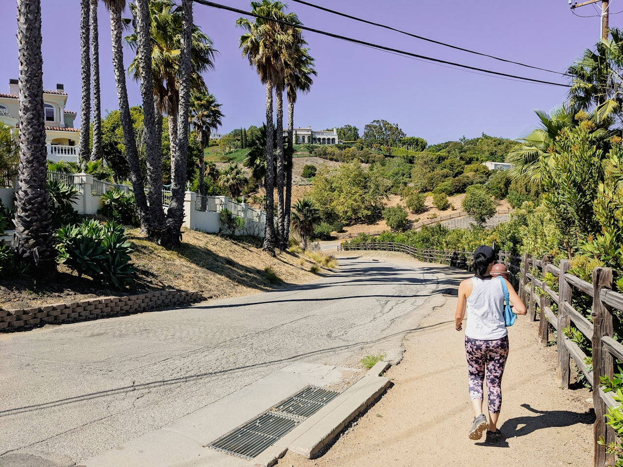
Park at the small lot just north of the PCH on Winding Way ($12) or try to find a free spot along the legendary highway, then look for a narrow dirt path paralleling the road. The hike’s first two-thirds of a mile actually maneuvers up Winding Way, ascending through extravagant Malibu residences.
As you climb, enjoy nearly unobstructed views of the shimmering Pacific Ocean. At the terminus of the incline, the Santa Monica Mountains come into view, as does the Escondido Falls trailhead, which lies on your left after a short descent on the road. Here you will also notice signs for the Izumi Trail to your right. Take this brief side trip up a hill for more incredible marine vistas before descending into the canyon.
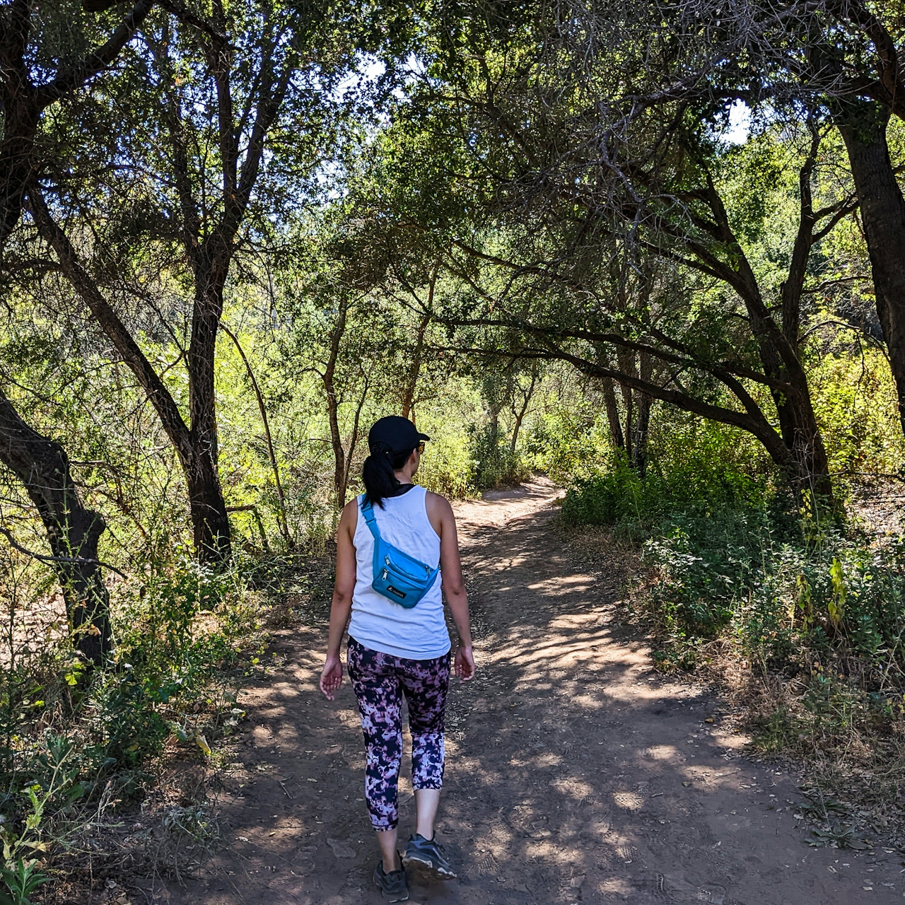
After crossing a streambed, the trail immediately becomes shaded, a welcome feature on hot sunny days. As you parallel the stream and adventure deeper into the canyon, you’ll be rewarded with dense, colorful bloom pockets of yellow mustard and light purple chaparral mallows that crowd the trail. You’ll wind under plenty of oaks too. At one of the “stream hoppings,” (actual hopping is needed only during wet months; and be especially careful after recent storms; avoid doing it if the water is high and fast) look to your left to see a dramatic oak with its roots exposed as you eventually emerge from the shaded woodland.
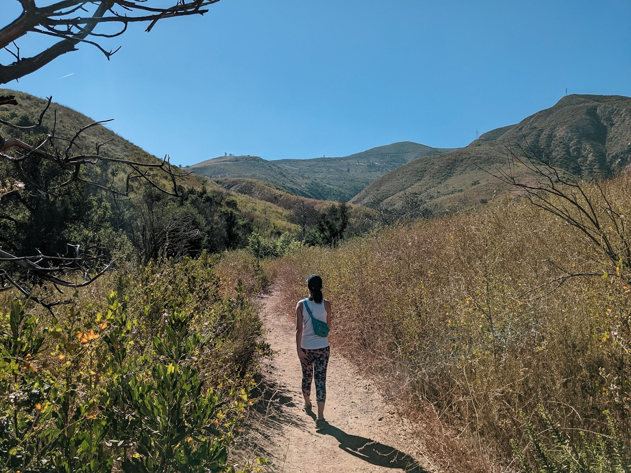
Here you get plenty of good vistas of the surrounding hills of the Santa Monica Mountains and it signals you are getting close to the falls. At about the 1.85-mile mark, you reach the tranquil Lower Escondido Falls. While most impressive after a rain, the 50-foot cascades still offer a trickling respite throughout the year: the grotto setting looks straight out of a fairy tale and is the perfect spot for a picnic (we recommend breakfast burritos from Lily’s). You will also notice a small spur trail veering steeply off to the right of the falls—the falls are actually tiered and reach 150 feet at the upper section. However, this becomes private property and the MRCA asks hikers not to climb to avoid injury and preserve the habitat. When you’re finished hiking, visit one of the area’s many beaches, such as Zuma, Point Dume, or Dan Blocker. Bu-tiful occasion.
To get to the Escondido Falls trailhead and parking lot, take the PCH north from Santa Monica (and the terminus of the I-10) for 18 miles to Winding Way and turn right. Alternatively, take the US-101 to the Las Virgenes exit and head south through the mountains. After it becomes Malibu Canyon Road and passes Pepperdine University’s campus, turn right onto the PCH, and Winding Way will be on your right after 4.5 miles. Dog-friendly!
Story and photos by Matt Pawlik, @mattitudehikes







