Inspiration Point, Indeed
Hike to Inspiration Point in Santa Barbara County


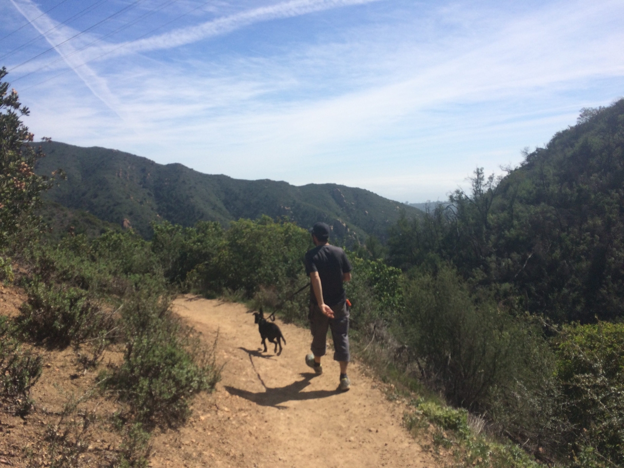
Sideways might be the best way to experience Santa Barbara’s abundant wine culture, but the best way to experience its beautiful natural landscape? Upwards! Inspiration Point is a sky-high peak in the Los Padres National Forest, just on the edge of the bustling oceanside town. This 5-mile out-and-back hike offers plenty of shade and great perspectives. The trail begins on Tunnel Trail, a wide fire road that offers stunning city views right out of the gate.
After three-quarters of a mile, you’ll cross a wooden bridge, then see a sign that points you to the left to take the Jesusita Trail. Stay left at the next fork, a few hundred feet up the trail, which isn’t marked. From here, the trail narrows into a singletrack that offers gently rolling ups and downs until you cross Mission Creek. From there it’s all uphill for a final ascent.
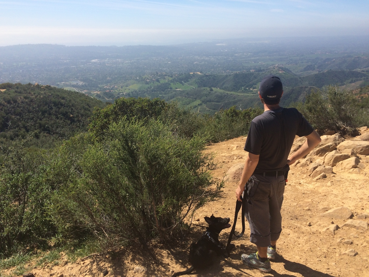
After one last switchback, you’ll know you’ve reached the peak when you cross another fire road and spy a sweeping city view that stretches for miles in every direction, spanning out over the ocean, with the Channel Islands on the horizon. There are plenty of big rocks at this vista point, perfect for a mid-hike lunch break while you soak in this, why yes, inspiring view!
To reach the trailhead from the 101, take exit 99, turning north up Mission St. In about a mile, turn left on Laguna St., then make a right on Los Olivos St., which turns into Mission Canyon Rd. as you drive up. After about a mile, turn right onto Foothill Rd., then make the next left to continue up Mission Canyon Rd. After a quarter mile, bear left at a split, onto Tunnel Rd. Drive a mile up this road and find parking on the right side. Be sure to park within the white lines or risk getting a ticket. Walk up Tunnel Rd. to find the trailhead, marked with a large gate on your right. Use this trail map. Dog-friendly!







