Sunsetsational!

Hike to Sunset Peak for Beautiful Panoramas of the San Gabriel Mountains

Woman holding a wood sign saying Sunset at Sunset Peak in the San Gabriel Mountains

With a name like Sunset Peak, expectations are high—5,796 feet high. You’ll gain about 1,272 feet in elevation—and thrilling views—while hiking to this summit located near Mount Baldy in the San Gabriel Mountains.
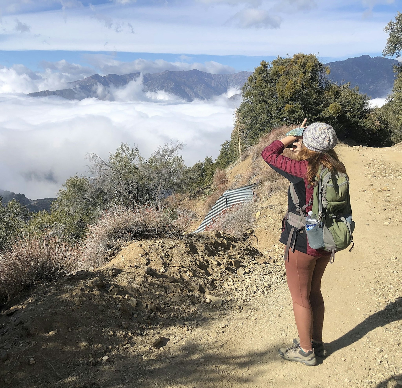
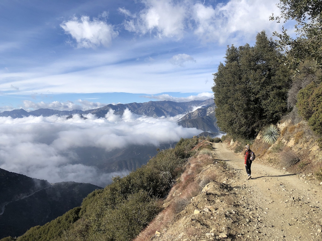
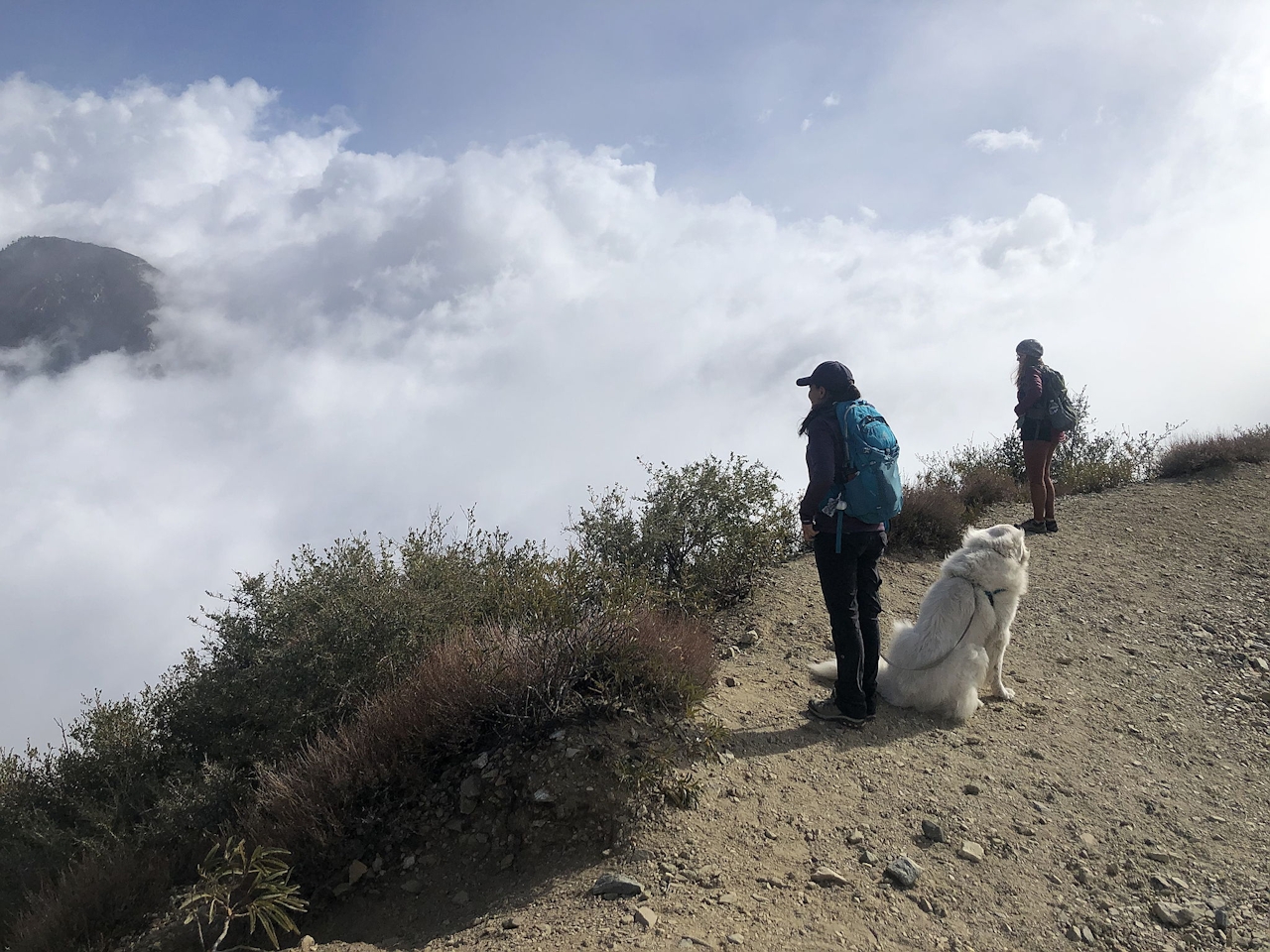
All in, this 7.3-mile (round-trip) trek on a fire road gets you all the way up there, and the grade is so gentle you might hardly notice you’re climbing. The exposed trail means that around every turn the San Gabriel Mountains scenery grows ever more incredible, especially during winter when impressive cloud formations roll through the snow-capped peaks.
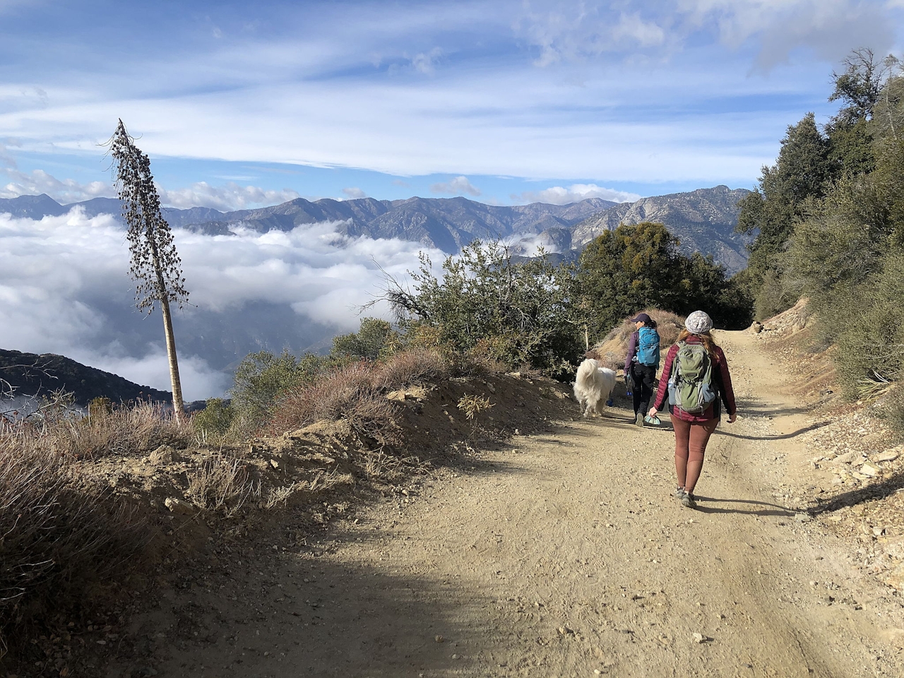
Hiker on fire road trail up to Sunset Peak in the San Gabriel Mountains

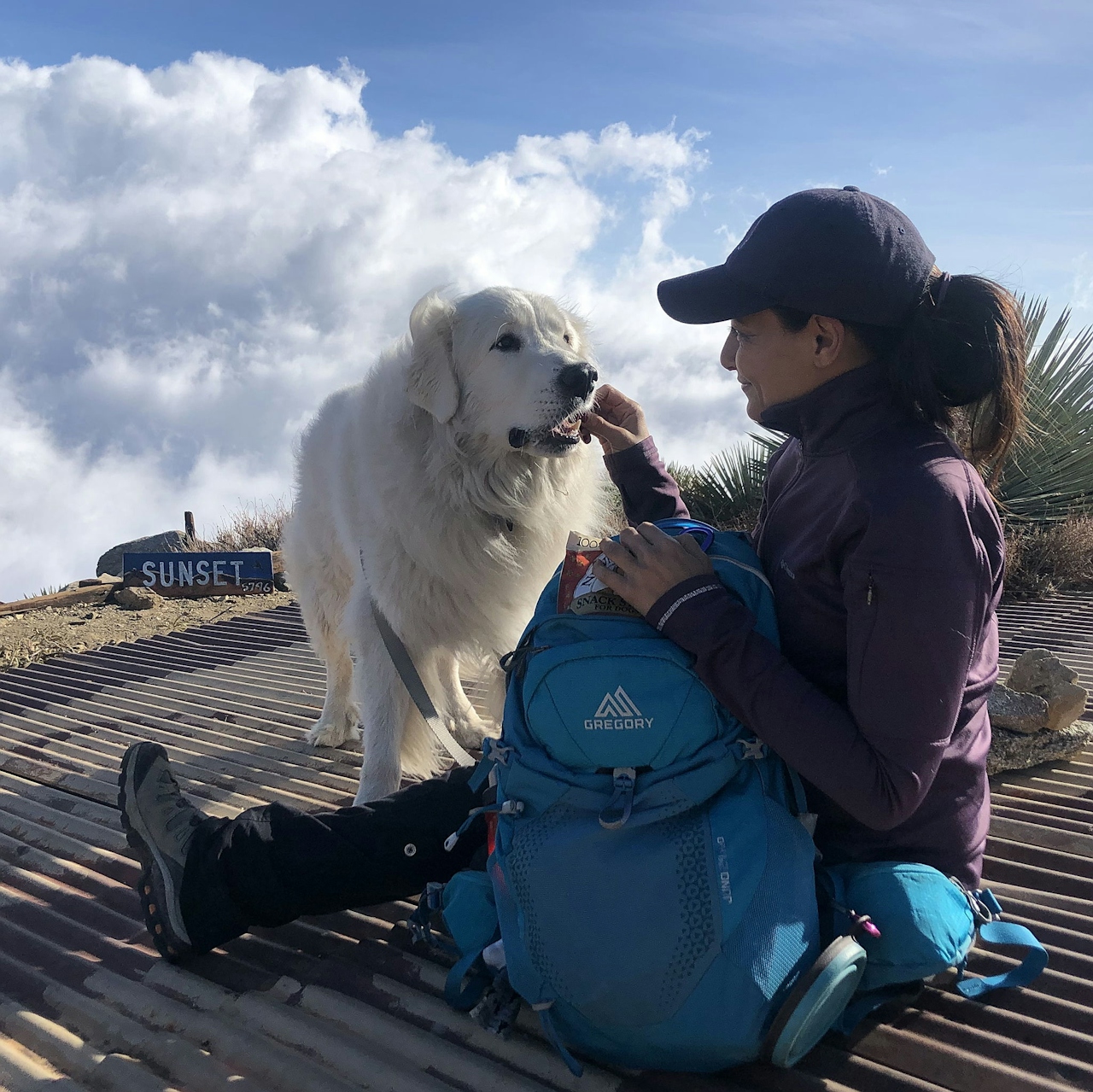
Snow is common in winter, and trails are generally passable without any special gear, but you’re gonna need good footwear and common sense; and plan for your hike to take longer than expected if you’re going over some snow. The peak is marked with a small hand-painted sign (however, the sign isn’t mounted onto anything, so it might be hard to find, adding a little extra adventure to your photo op moment).
undefined

Still, you won’t need the sign to know you’ve reached the top. The stellar panorama lets you know, including views of Mount Baldy, and the prominent peaks of Thunder, Telegraph, and Timber mountains. Sunsetsational!

Sunset Peak is located in the San Gabriel Mountains on the border of LA and San Bernardino counties near Mount Baldy. From either the 60, 10, or 210 freeways, take the Mountain Ave. exit and head north into the mountains. Then take a sharp right (almost a u-turn) onto Mount Baldy Rd., followed by a left onto Glendora Ridge Rd. Be sure to check road conditions before driving up into the mountains, and bring tire chains if necessary. Park in the lot on the right-hand side of the road; trail is across the road from the parking lot on the left-hand side. Adventure Pass required. Dog-friendly!

Trending Stories NorCal

View all Stories
  1. Woman with her arms outstretched to the rolling hills scenery while on a rock outcrop at Barnabe Peak in Samuel P Taylor Sate Park in Marin

    Barnabe Bonanza

    Sure, there are higher mountains in Marin (Mount Tam) and easier ascents (Mount Burdell), but is there a more expansive North Bay view? Barnabe Peak in Samuel P. Taylor State Park offers a glorious panorama including Mount Tam, Mount Diablo, and Mount St. Helena.

    View
  2. Tamtastic Sunset

    Sure, the East Peak of Mount Tam is absolutely spectacular at sunset, but some magic-hour enthusiasts head to a nearby spot, Trojan Point, for a little more personal space in their panoramic viewings.

    View
  3. Hiker on the SCA trail in Marin Headlands with view of the Golden Gate Bridge

    Headlands Over Heels

    People come from all over the world to get a glimpse of the Golden Gate Bridge. Get a dramatic and novel view of the bridge without all the people on this moderate 6-mile hike in the Marin Headlands.

    View

Trending Stories SoCal

View all Stories
  1. Sponsored

    Boo-tifall Reno Tahoe

    Fall goes fast. Good thing Reno Tahoe knows how to make the good times last, with some of the West’s best harvest fairs, haunted happenings, and only-in-Reno celebrations.

    View
  2. Woman hiking the San Onofre Bluffs Loop Trail to San Onofre State Beach in San Diego County

    Bluffing Good!

    Lovely coastline, beautiful beaches, unique geological history, and picturesque sandstone cliffs with limited foot traffic in San Diego County? Head to San Onofre State Beach and the 5-mile San Onofre Bluffs Loop Trail.

    View
  3. Can We Get a Whoop Whoop!

    City, mountain, and ocean views all in one hike? Whoop whoop! It’s no surprise the the Kenter Fire Road and Whoop-de-Doos Trail (a combo of fire road and singletrack) is a favorite among local mountain bikers and hikers alike.

    View