Josephine Journey

Hike to the lookout at Josephine Peak in the San Gabriels

Woman standing in front of the old fire lookout at the summit of Josephine Peak in the San Gabriels

Standing at 5,558 feet on the western edge of the San Gabriel Mountains, Josephine Peak is not your ordinary summit hike. The 8.5-mile (round-trip) out-and-back climb from the Colby Canyon parking lot gains 2,058 feet to a former fire lookout with tremendous views of the San Gabriels, including Strawberry Peak.

Woman looking out to the saddle of the hike to Josephine Peak in the San Gabriel Mountains

vantage of Josephine Peak and a rock formation of a smiling face

Woman looking out to the San Gabriels from Josephine Peak

The first half mile passes multiple small pools of water and streams that are good for cool-downs, though the exposed nature of this hike means getting to it before it’s too hot, and bringing the proper necessities like water, sunscreen, and a hat. The trail steadily climbs, passing over rocky terrain with smooth switchbacks. Along the way you can see the peak you’re heading to, as well as downtown Los Angeles.

Woman standing at a viewpoint overlooking the San Gabriels at Josephine Peak

Make your way up to Josephine Saddle, which brings the trail to a fire road for the final push! From the top, you can see several nearby peaks in the range including Strawberry Peak—the tallest mountain in the San Gabriels—as well as Angeles Crest Highway snaking around the mountains.

Rock formation of a smiling face at the summit of Josephine Peak in the San Gabriels

The peak is quite eclectic. Remnants of a fire lookout that stood from 1936 to 1975 were sadly destroyed by a fire, but there’s still a bookshelf, a concrete foundation, and communication towers.

Turn right onto CA-2 E/Angeles Crest Hwy. and follow it for 10 miles. The parking is a dirt lot on the left-hand side. Dog-friendly!

Story and photos by Breonna Carter, @mountainsquake.

Trending Stories NorCal

View all Stories
  1. The Occidental Tourist

    The Grove of Old Trees in Occidental is 33 hidden acres of towering redwoods and the only privately owned preserve in Sonoma County that's free to the public. Hike one of two flat loop trails shaped like an upside-down peace sign.

    View
  2. Two hikers at Bear Creek Redwoods Regional Preserve on a new trail.

    New Trails at Bear Creek

    Looking for new trails? Bear Creek Redwoods Open Space Preserve has added 170 acres of forest, grassland, and historical sites. Hike this 3.5-mile loop through the new addition.

    View
  3. Woman swimming in Carson Hotsprings natural thermal pool

    Hot Springs, Naturally

    Thermal spring waters are famous for their curative, relaxing elements, and Reno Tahoe is filled with them! Sink into these amazing thermal respites for a wellness super soak.

    View
  4. Drake Awakening

    Part salt water, part fresh water, Drake’s Estero is smack in the middle of Point Reyes, and one of only two marine wilderness areas in the entire nation. Yeah, it’s worth a look. Get the extended version by hiking right alongside it.

    View

Trending Stories SoCal

View all Stories
  1. Sponsored

    Sublime San Juan Islands

    Well, well, this wellness action plan takes you to the San Juan Islands! Easily reached by ferry yet worlds away in tranquility and unique adventures, this Washington State jewel of the Salish Sea nurtures through nature.

    View
  2. Merry in Moreno Valley

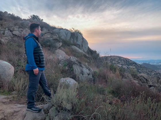
    At 2.6 miles round trip, a quick escape to the out-and-back Cold Creek Trail in Moreno Valley is a great way to enjoy a beautiful sunset.

    View
  3. Hike A Fall Classic

    Reno hit the jackpot with its well-planned urban trail system, including the Tom Cooke Trail adjacent to the Truckee River, and brilliant in fall.

    View
  4. Woman hiking down the stairs to Coast Royale Beach in Orange County

    Secluded Royale

    Panoramic coastal views and a killer leg workout combine on this 2.7-mile (round-trip) out-and-back hike to secluded Coast Royale Beach in Orange County

    View