Peak on Climbing!
Hike to the Tahquitz Peak Lookout in the San Jacinto Wilderness


The hike to 8,846-foot Tahquitz Peak in the San Jacinto Wilderness boasts awesome views and an intriguing legend. The peak was named by the Cahuilla Indians after a powerful shaman who possessed an insatiable appetite for human flesh—and he happened to call this very mountain home. Not to worry. Tahquitz (pronounced tah-KEETS) was trapped long ago behind Tahquitz Rock, so you won’t be eaten in the course of the 8.3-mile (round-trip) out-and-back hike. But with a gain of 2,400 feet, it’s still a challenge. The reward is amazing views of the surrounding mountains and the Salton Sea from the highest lookout in the San Bernardino National Forest.
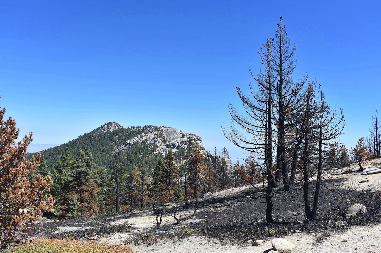
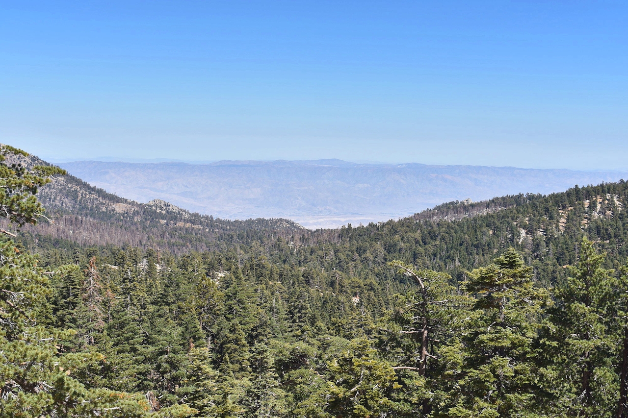
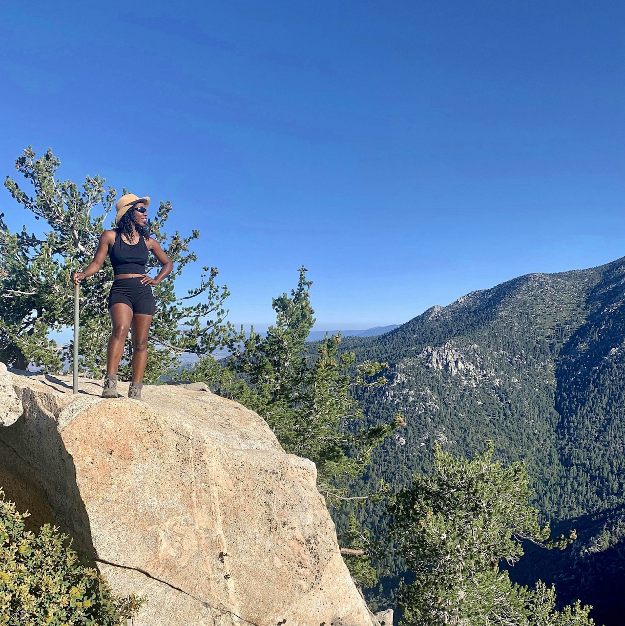
Arrive early to get parking and enjoy cooler temps. From Humber Park in Idyllwild, hit the well-marked Devil's Slide Trail and start the ascent. The first half of the hike is nicely shaded by subalpine forests, with views of the valley peeking through and an exposed granite landscape like that of Yosemite, including an unobstructed view of Tahquitz Rock.
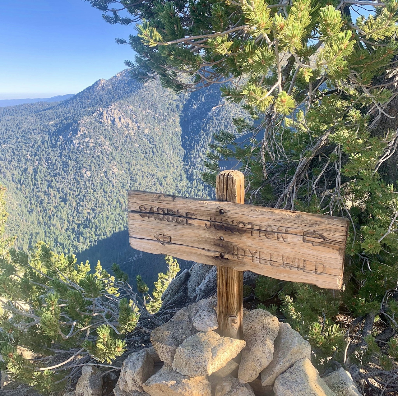
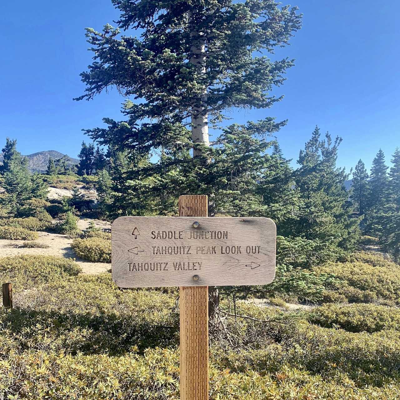
After 2.5 miles, you’ll reach Saddle Junction, with the golden glow of the midsummer sun slipping through pine trees, along with new views of the mountain. Follow the sign for Tahquitz Peak Lookout (you’ll know you’re on the right trail because it’s the only one that keeps going up). The scenery completely opens as you continue hiking, revealing the blue Tahquitz fire lookout at the peak, and the Salton Sea below.
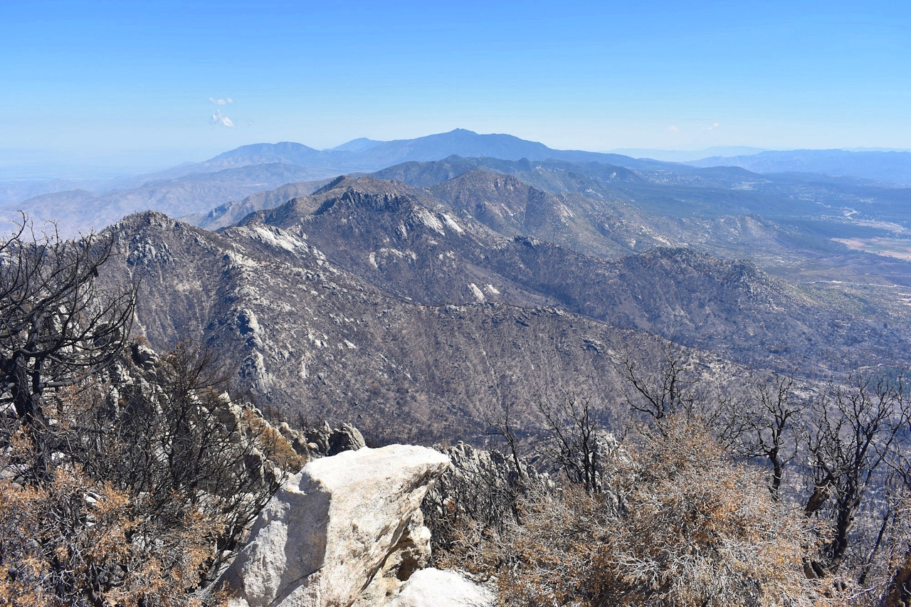
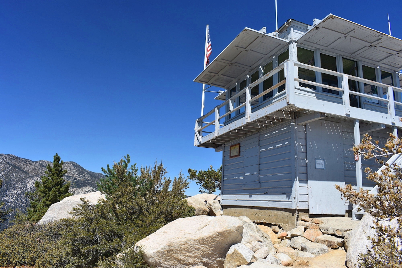
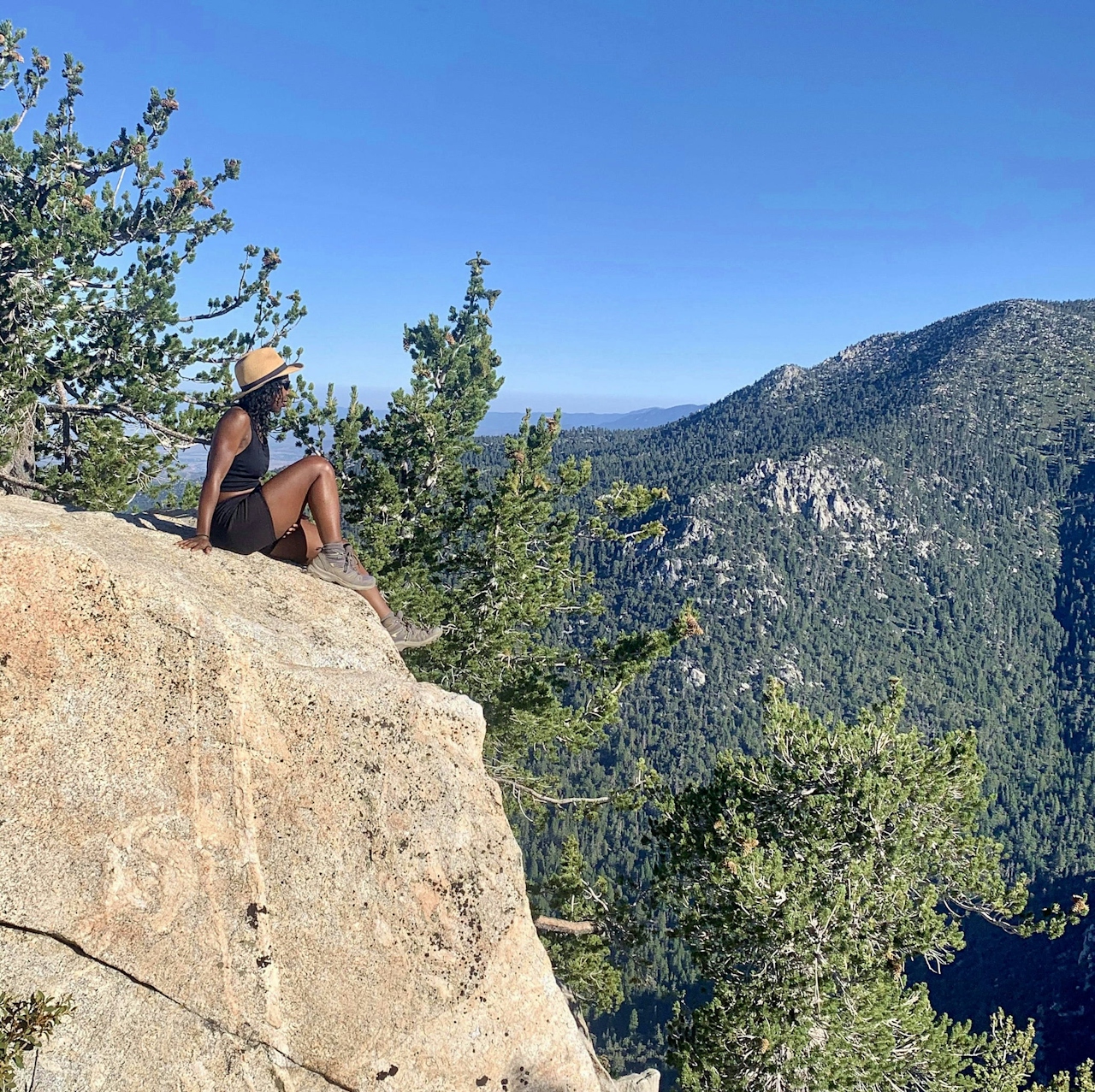
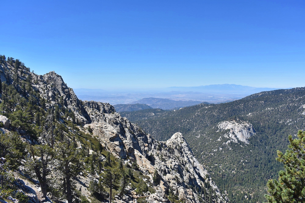
If you're lucky you’ll be at the peak on a day when a volunteer ranger is stationed at the lookout and can tell you a bit about its history. The summit has plenty of boulders so take a seat to enjoy the high peak views of the range: Jean Peak, Marion Mountain, and of course Mount San Jacinto. On a clear day you may even see Catalina Island.
*If hiking this trail during summer, bring plenty of water and be mindful of the heat, and heat advisories. Getting a very early start is a wise idea. From I-10, take exit 100 for CA-243 South. Turn left onto Pine Crest Ave., right onto S. Circle Dr., and left onto Fern Valley Rd. Arrive early to get parking; the trail gets popular later in the morning. An Adventure Pass is required for parking. Dog-friendly!
Story by Breonna. Follow Breonna on Instagram @mountainsquake







