Lone Oasis
Hiking a section of Mount Whitney Trail in California


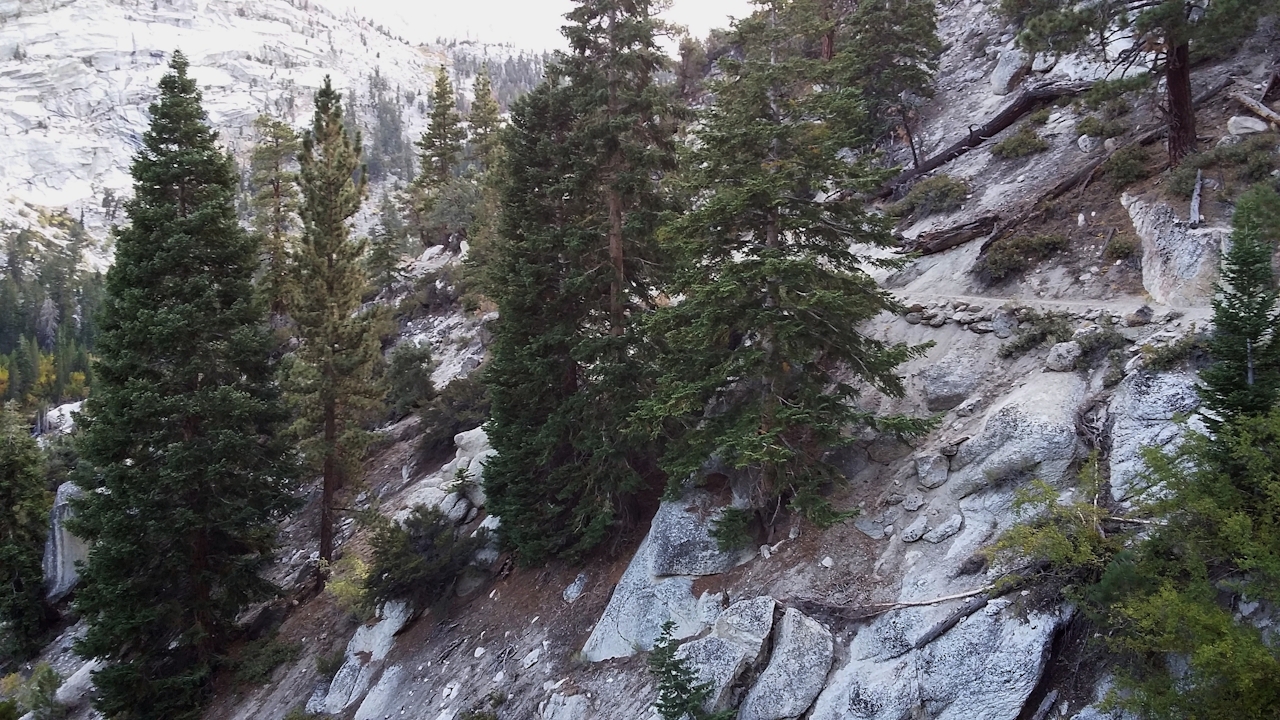
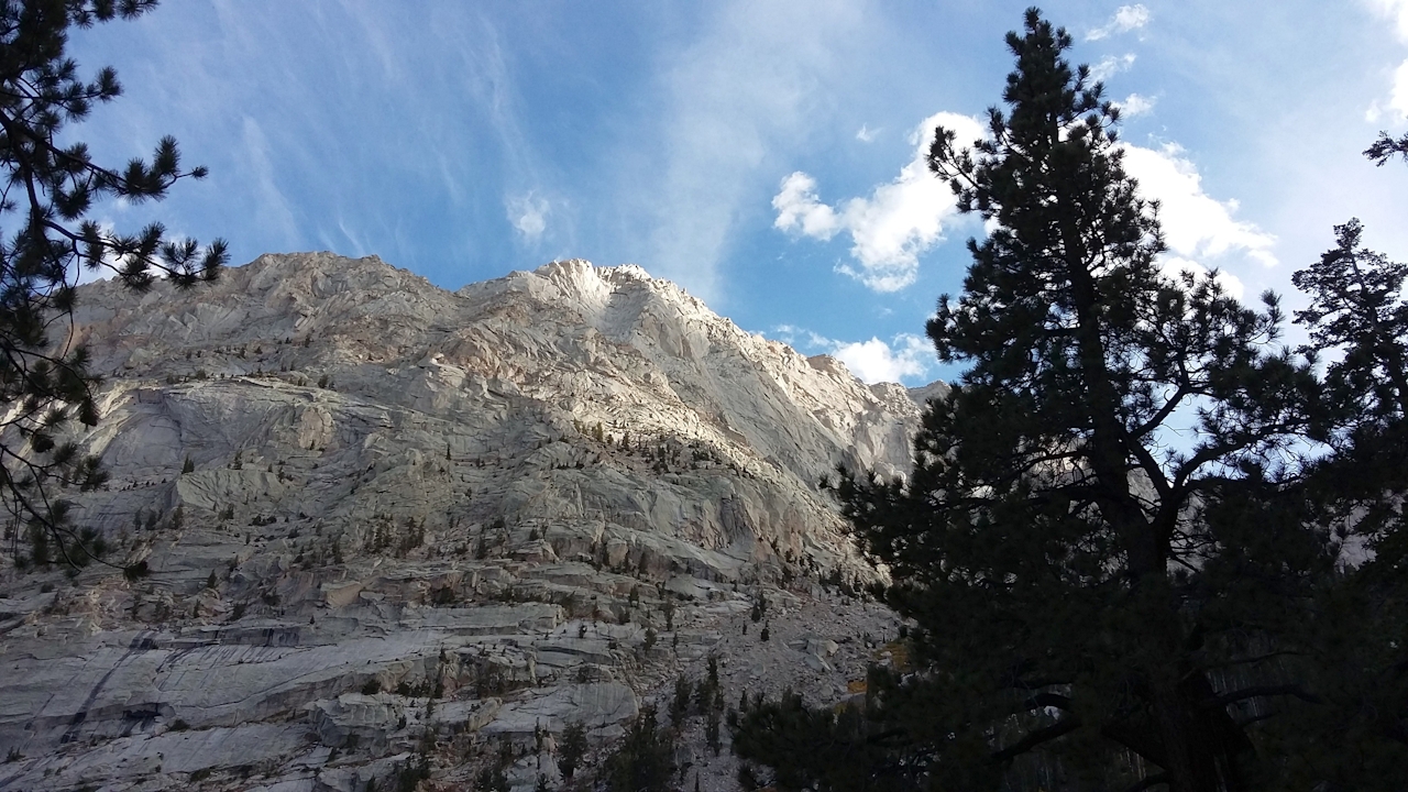
Every summer, thousands travel to Whitney Portal in the Eastern Sierra to summit Mount Whitney, the highest peak in the contiguous United States. But thousands more are denied the required permit to enter the “Whitney Zone” due to the Forest Service’s strict quota system. The good news is you can still get a taste of the famous Mount Whitney Trail without getting a permit, because its first three miles actually lie outside the permit zone, allowing for a lovely day trip to the high-altitude Lone Pine Lake. You won’t soon forget this strenuous, 5.8-mile out-and-back hike up a glacially carved canyon. Starting at 8,360 feet, the path climbs the canyon’s north side opposite an utterly gigantic, pine-studded granite peak. Jeffrey pines and manzanita litter rocky, open slopes on the first mile, while green ferns and other lush vegetation mark the crossings of Carillon Creek and the North Fork of Lone Pine Creek.
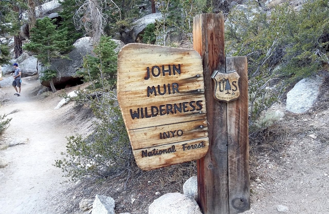
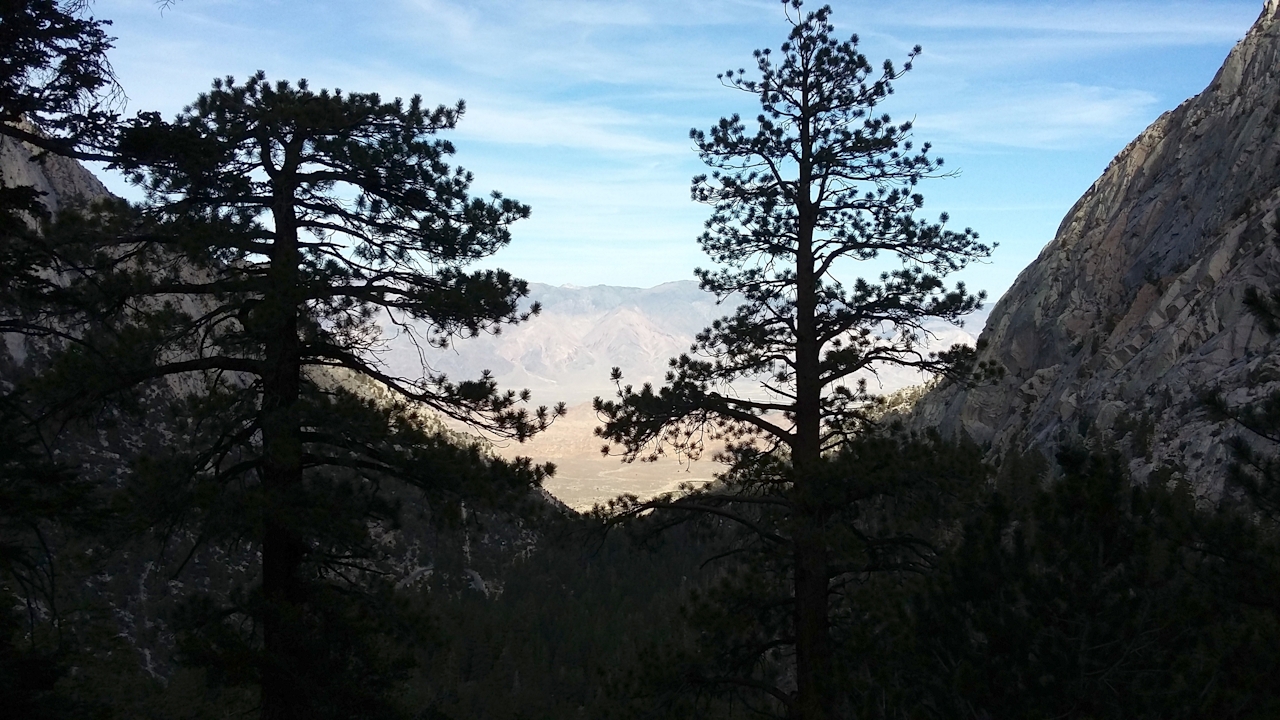
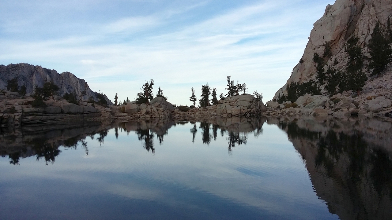
Shortly after, you enter the John Muir Wilderness and begin to zigzag up a long series of switchbacks towards a prominent pine-topped saddle high above. As you ascend, vistas open eastward of the Owens Valley and the Inyo Mountains beyond, all painted in tan-khaki earth tones. Logs bridge the marshy Lone Pine Creek at 2.8 miles, and under the ensuing pines a wooden sign points the way to Lone Pine Lake, veering you left off the main trail. The lake sits at saddle’s edge—smack up against a scree below a towering granite face—its mirror-like surface reflecting sky and a fringe of sculpted rock and pines. The sandy beach here is a popular picnic spot. Where better than this natural infinity pool at 10,000 feet to ponder your place on earth ... or to imagine winning that lottery and bagging Whitney next year!
CAMP: To linger in this hallowed canyon, snag a spot at Whitney Portal Campground just east of the trailhead; 43 sites cluster the banks of Lone Pine Creek under dense pine forest and granite cliffs. You’ll be lulled to sleep by the white noise of rushing water.
Directions to the trailhead: Take US Hwy. 395 to Lone Pine. Turn west onto Whitney Portal Rd. and follow it into the mountains to its terminus. Road signs designate trailhead parking lots. Note: Whitney Portal closes after the first snowfall, and Whitney Portal Campground closes in late October. Dogs allowed on trail and at campground.







