Best the Crest

Hiking Castro Crest in the Santa Monica Mountains

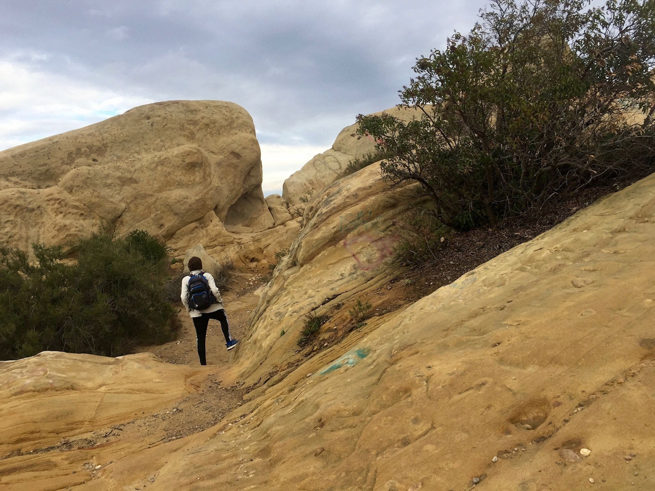
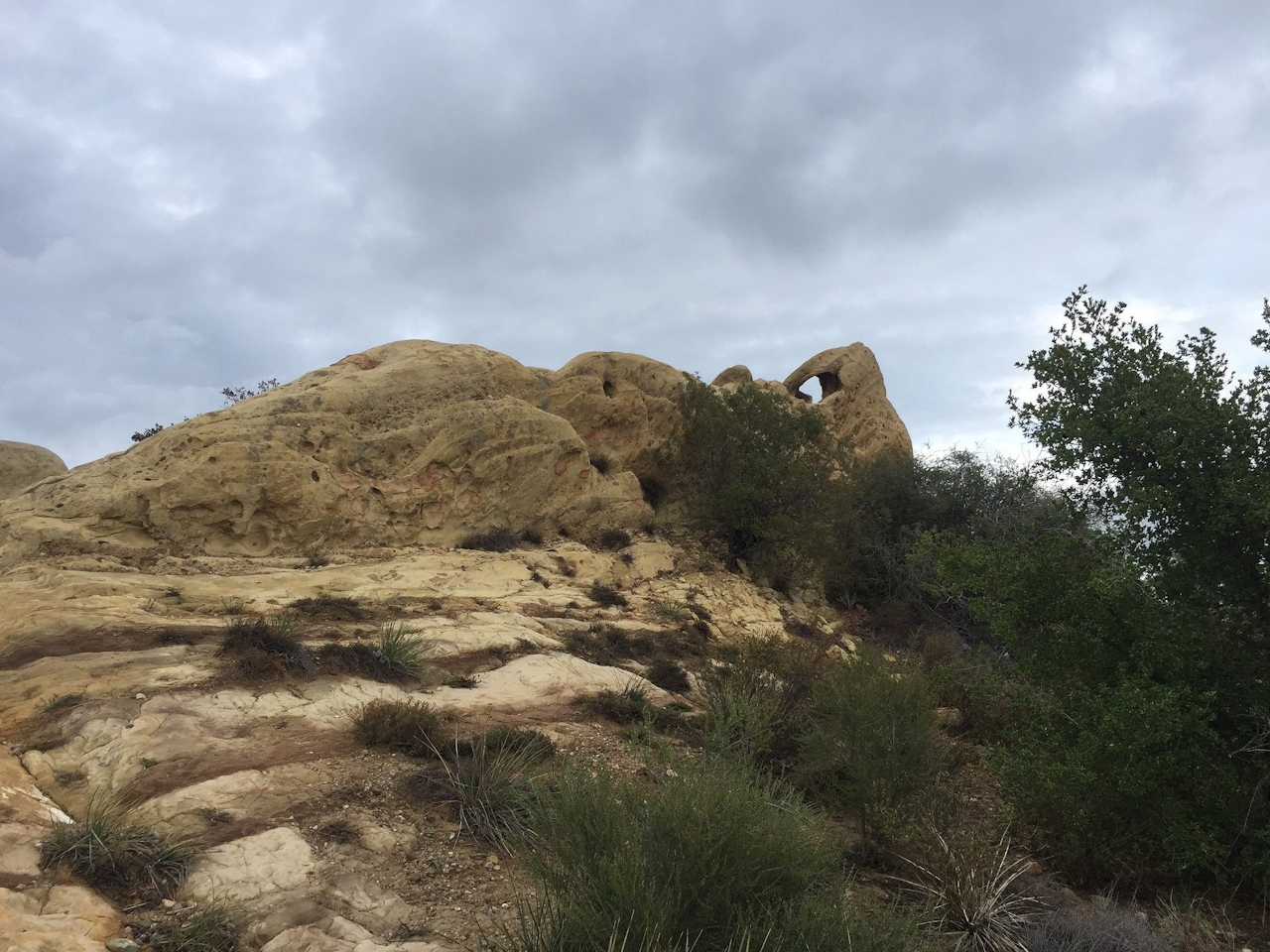
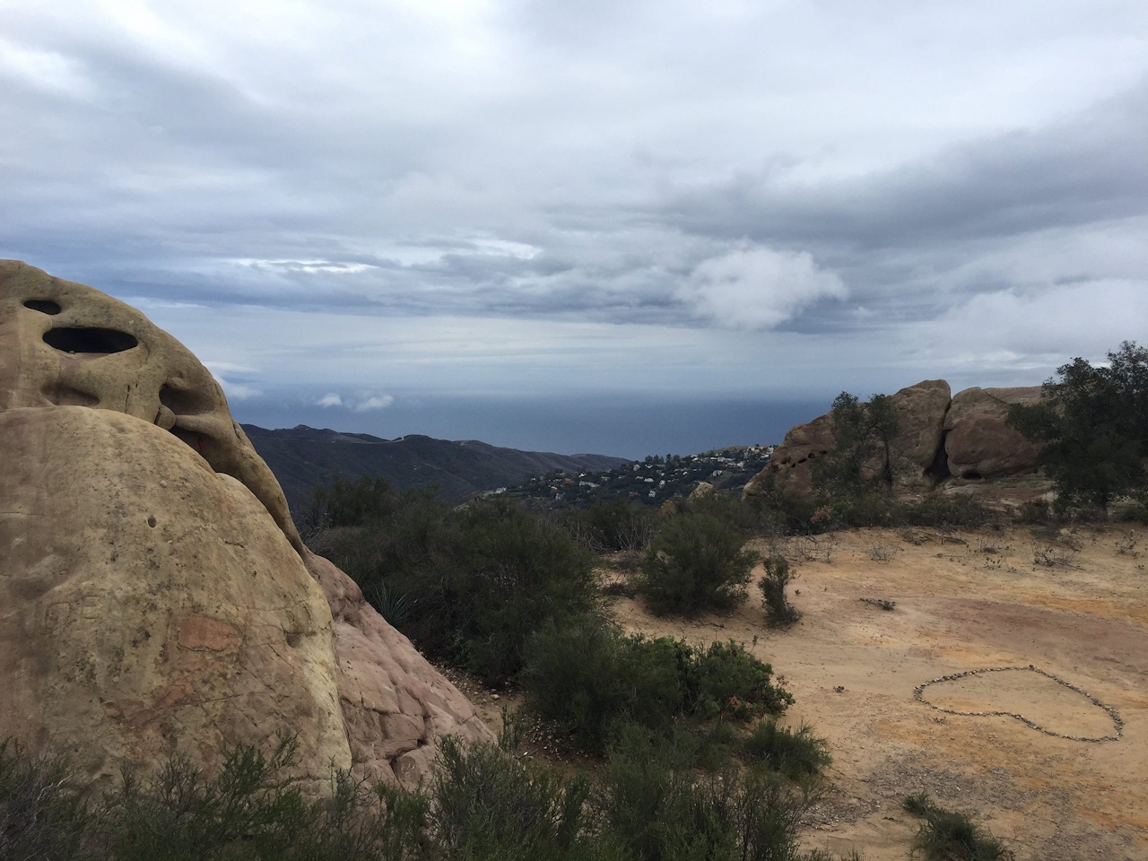
A walk along the spine of the Santa Monica Mountains National Recreation Area in Malibu is especially good when the days are cool and the skies so clear. Add a jaunt down into Malibu Creek State Park, and you’ve got a 7.5-mile out-and-back challenge that rewards you with wonderful views, not to mention a bit of rock-scrambling fun. After parking in the Backbone Trail’s Corral Canyon parking lot, start with a quick diversion: Take the Backbone Trail about 0.5 mile to the east to a Zionesque playground of sandstone slabs and pockmarked boulders where you can enjoy sweeping vistas of Corral Canyon down to the Pacific Ocean.

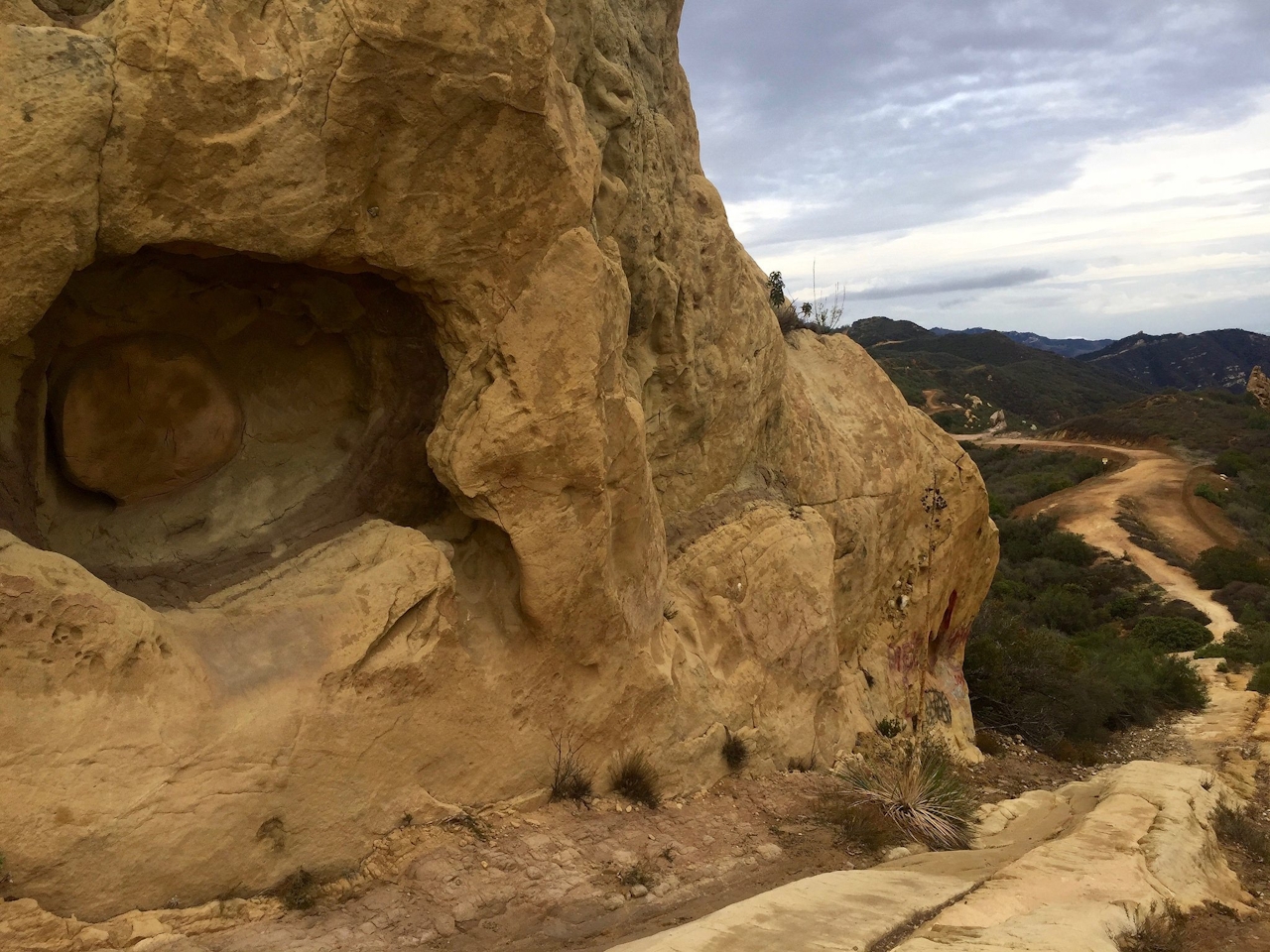
Then head back to the lot and start up Castro Motorway (a dirt fire road) along Castro Crest 0.8 mile to Bulldog Motorway—a steady incline that gains about 500 feet. The actual Castro Peak (2,825 feet) stands on private land behind the gates here, so it’s illegal to summit. Don't be bummed out. You'll still be rewarded with another epic view, this time of Malibu Creek State Park far below, before you head 2.5 miles down Bulldog. Ignore the spur trails and turn back when you reach the end of the descent, or continue to the old MASH set, 1.5 miles farther. Then comes the big push back up the 1,000 feet you descended. Head back down Castro Motorway to the trailhead. Consider taking this hike in the late afternoon for an extremely beautiful and rewarding sunset finale to your workout.
To get to the Backbone Trail’s Corral Canyon trailhead and the no-fee dirt parking lot, take the I-10 west to Pacific Coast Highway (Hwy. 1) north. After 16 miles, turn right on Corral Canyon Rd., which winds up the mountain and ends at the lot. Dog-friendly only on Castro Mtwy. section.

Trending Stories NorCal

View all Stories
  1. Woman with her arms outstretched to the rolling hills scenery while on a rock outcrop at Barnabe Peak in Samuel P Taylor Sate Park in Marin

    Barnabe Bonanza

    Sure, there are higher mountains in Marin (Mount Tam) and easier ascents (Mount Burdell), but is there a more expansive North Bay view? Barnabe Peak in Samuel P. Taylor State Park offers a glorious panorama including Mount Tam, Mount Diablo, and Mount St. Helena.

    View
  2. Hiker on the SCA trail in Marin Headlands with view of the Golden Gate Bridge

    Headlands Over Heels

    People come from all over the world to get a glimpse of the Golden Gate Bridge. Get a dramatic and novel view of the bridge without all the people on this moderate 6-mile hike in the Marin Headlands.

    View
  3. Cheers to Chimney

    If you’re looking for all that Point Reyes has to offer in spring, Chimney Rock is the place to be. The 1.75-mile (round-trip) hike to Chimney may be short, but it packs a visual punch, quadrupling the viewing thrills during spring.

    View

Trending Stories SoCal

View all Stories
  1. Woman hiking the San Onofre Bluffs Loop Trail to San Onofre State Beach in San Diego County

    Bluffing Good!

    Lovely coastline, beautiful beaches, unique geological history, and picturesque sandstone cliffs with limited foot traffic in San Diego County? Head to San Onofre State Beach and the 5-mile San Onofre Bluffs Loop Trail.

    View
  2. Can We Get a Whoop Whoop!

    City, mountain, and ocean views all in one hike? Whoop whoop! It’s no surprise the the Kenter Fire Road and Whoop-de-Doos Trail (a combo of fire road and singletrack) is a favorite among local mountain bikers and hikers alike.

    View
  3. The Big Chill

    In LA, finding a place to chill can be the ultimate flex. So flex, in Franklin Canyon! This unexpected oasis has plenty of shade, cool lake breezes, and ample picnicking spots. Enjoy it on an easy-going 1-mile stroll along its reservoir and duck pond.

    View