Secret's Out
Hiking from Chimney Beach to Secret Cove in Tahoe


The turquoise waters and pristine beauty of Secret Cove on the east shore of Lake Tahoe are like an ode to Tahoe’s iconic spirit. And while this lovely spot near Incline Village isn’t such a secret anymore, it’s quite a bit less crowded than its neighboring (and equally turquoise-tinged) oasis, Chimney Beach. Why? Well, Secret Cove is clothing optional … hey, some people have no secrets! A leisurely 2.5-mile (round-trip) hike lets you beach-hop to both, with multiple vantages and spots for stopping to take a dip or simply take in the lake-to-mountain scenery, as paddle boarders, kayakers, boaters, and snorkeling floaters celebrate summertime on Lake Tahoe.
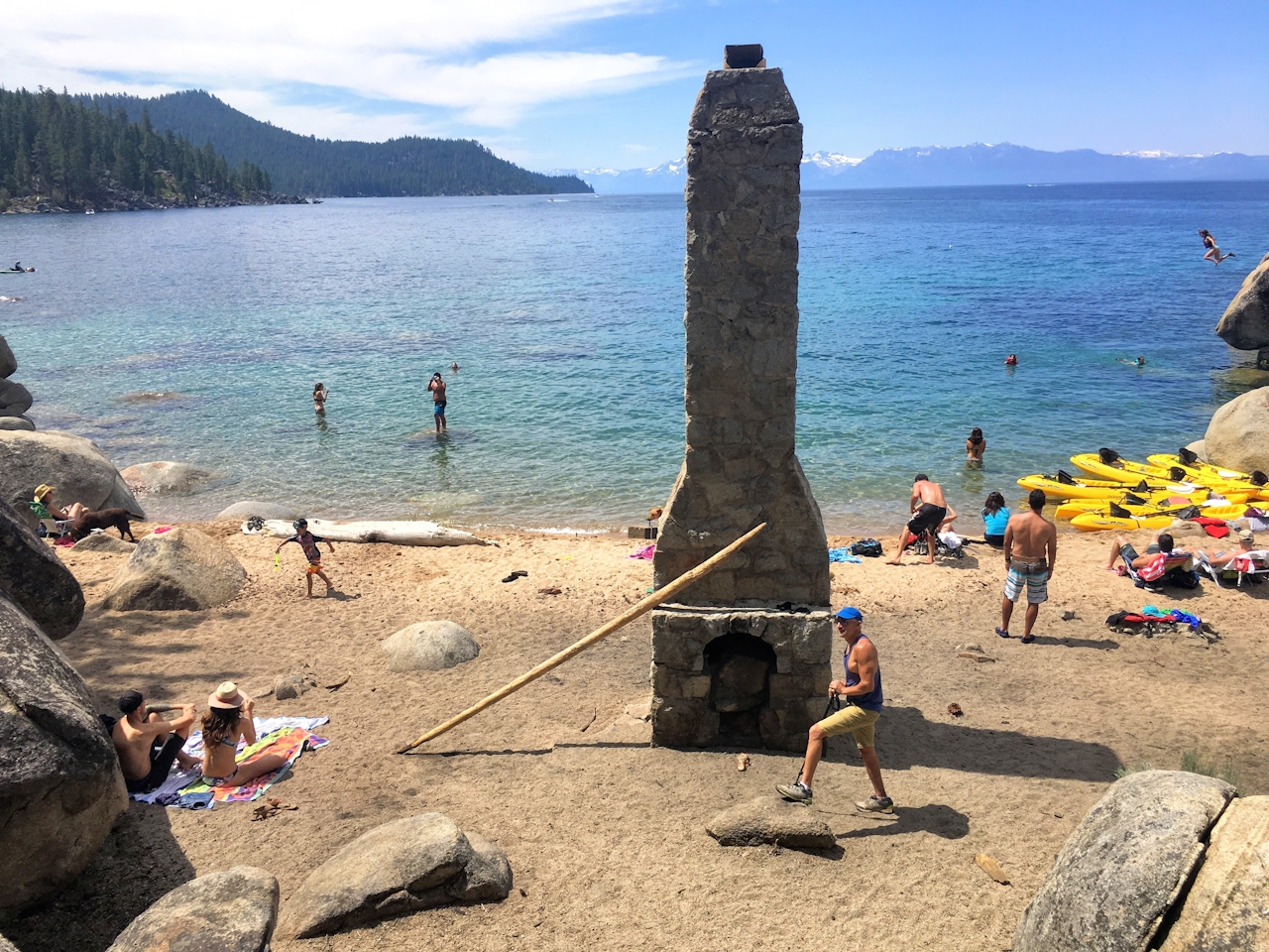
From the parking lot, follow the trail signs for half a mile down to Chimney Beach, named for the obvious freestanding chimney that was once part of a lakefront cabin. This is a popular spot to spend the day or a few hours, lounging on the beach or taking a dip in the aquamarine water. From Chimney Beach, it’s one mile to Secret Cove. Head south along the shoreline, discovering smaller coves framed by boulders that sometimes allow for peaceful swim-hole time.
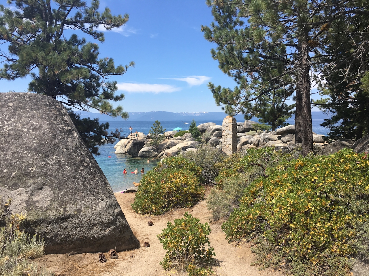
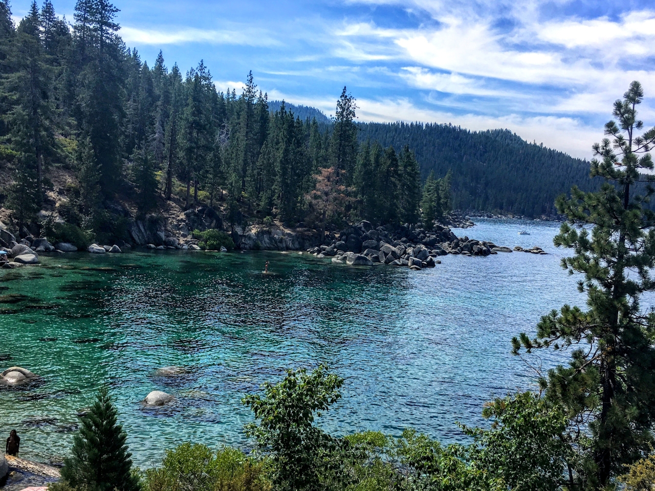
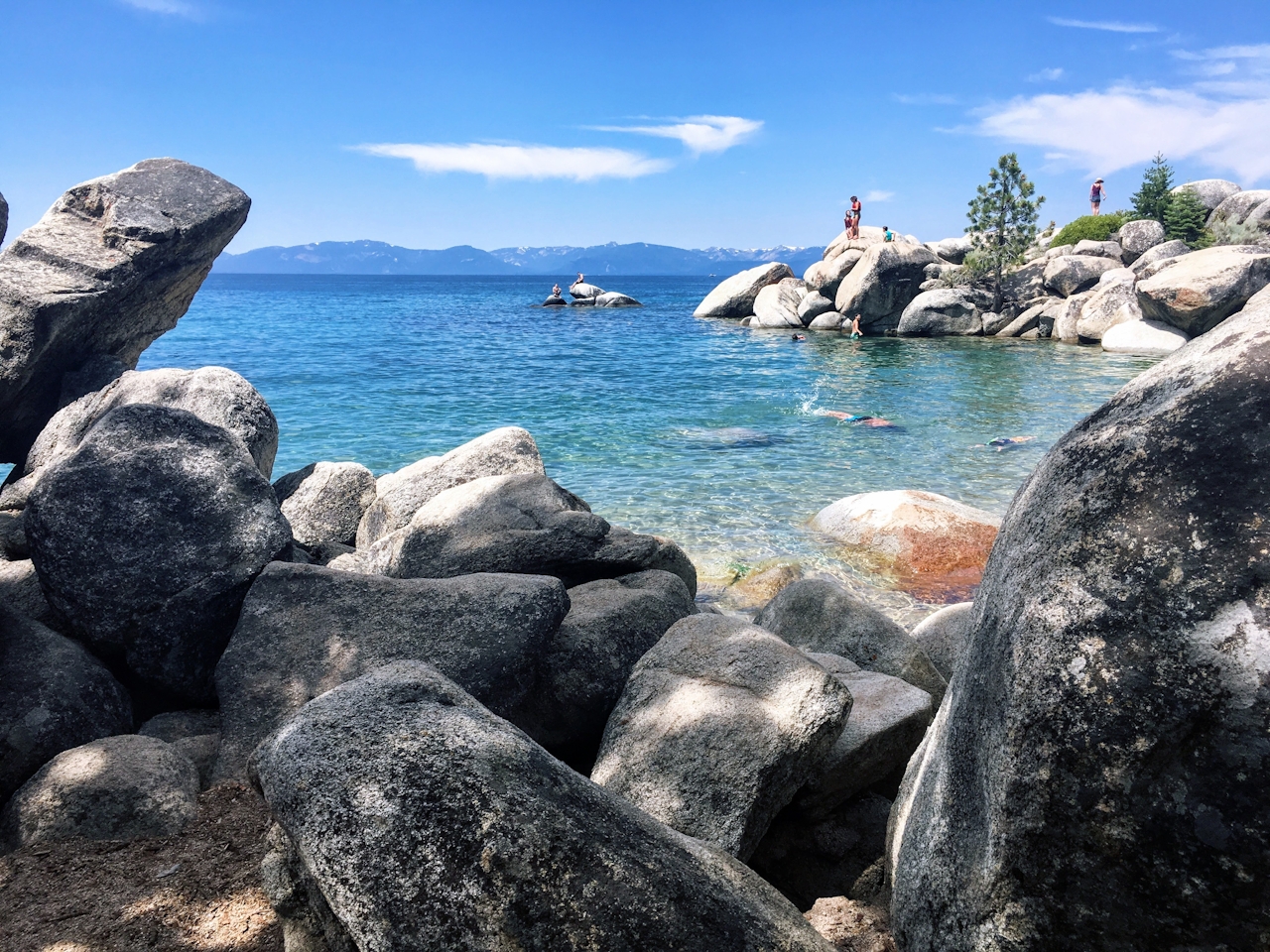
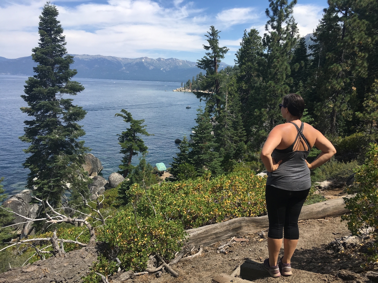
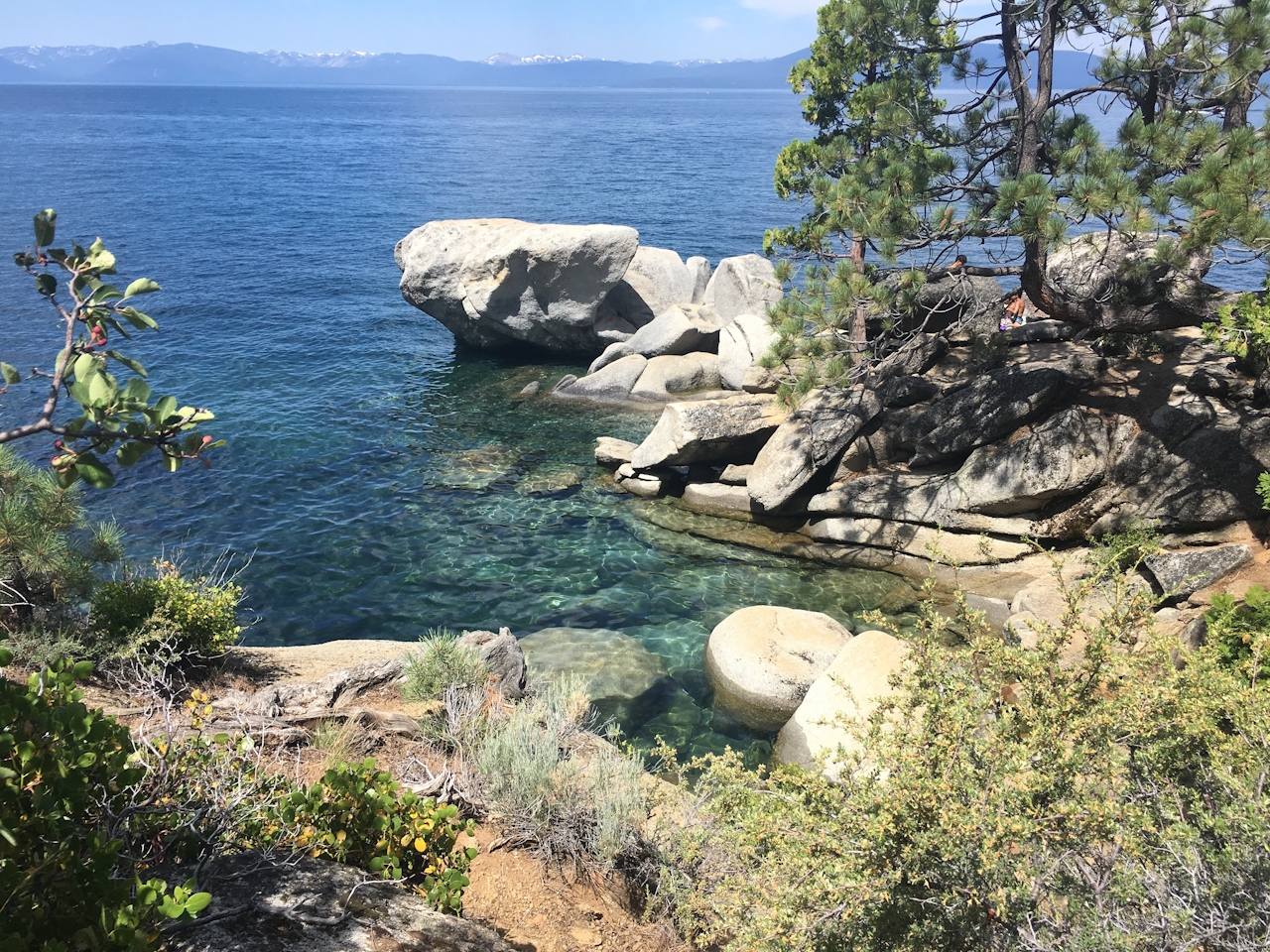
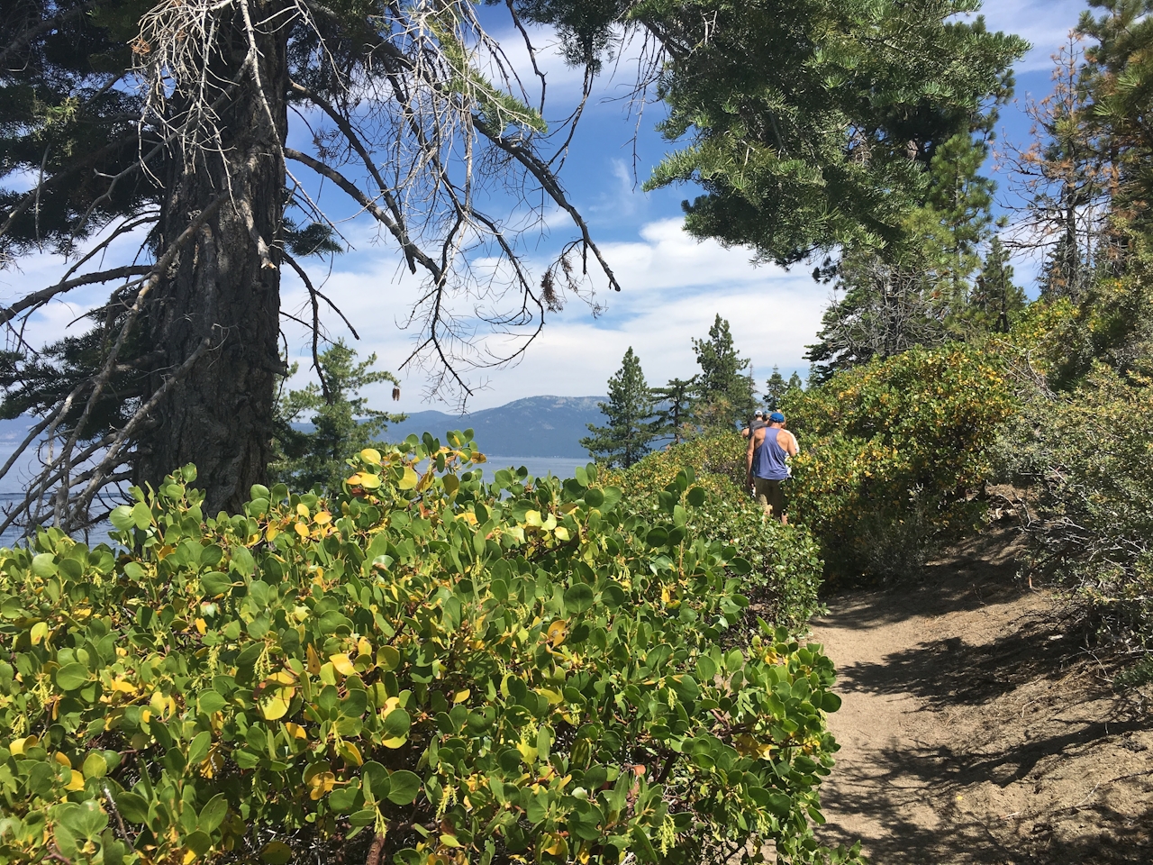
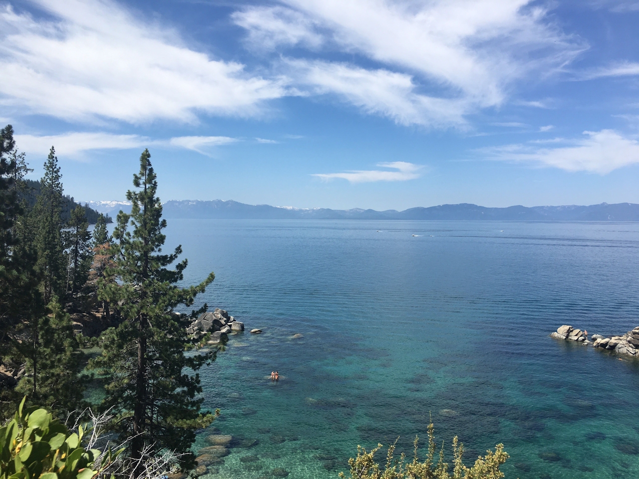
Rock outcroppings are abundant as you continue to Secret Cove (you’ll see an entrance sign). With lake levels at a record high, there’s less sandy beach than in previous years, but there are plenty of boulders to sit on to soak up some sunshine. You may even see a full moon, or three! Return to the parking lot by heading uphill about 0.25 mile from the entrance sign, until you get to the fire road. Turn left and it’s 0.75 mile back to the parking lot.
Park at the Secret Harbor parking lot off Hwy. 28. If you put Chimney Beach in your phone’s GPS, this is the parking lot it will take you to. On weekends the lot fills up by 10 a.m. There’s another parking lot 0.4 mile northeast on Hwy. 28 that also links to the trail, but most people park along the highway. Dog-friendly!







