Give It the Islip
Hiking Mount Islip in the San Gabriel Mountains


With a name that could suggest slipping and falling off a cliff, Mount Islip (pronounced “eye-slip”) may sound like a peak to stay away from. But the hike to the 8,251-foot summit in the San Gabriels is a breezy, if challenging, 7-mile round-trip that is friendly to the ankles. The trail is smoothly laid out over the course of its 1,627 feet of elevation gain, so sure footing is easy to come by. No slipping!
Mount Islip gets its name from George Islip, an early pioneer who homesteaded in the San Gabriel Canyon in the 1880s. The mountain was once the location of a fire lookout tower that was moved elsewhere in 1937. But the ruins of a cabin and the foundations remain. A trek up to Mount Islip is full of such small destinations and rewards. You get to hike a section of the Pacific Crest Trail (PCT). You can camp at Little Jimmy Campground and then enjoy the breeze at Windy Gap. Ultimately you gain a broad view of LA County far below and the faint ocean beyond. In other words, Mount Islip is not a peak to give the slip.

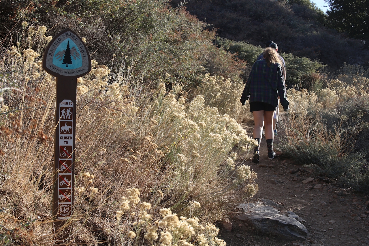
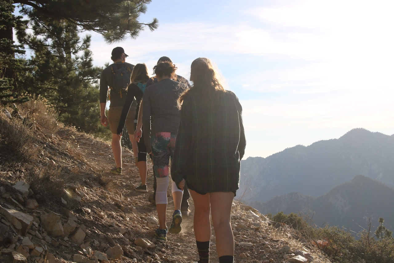
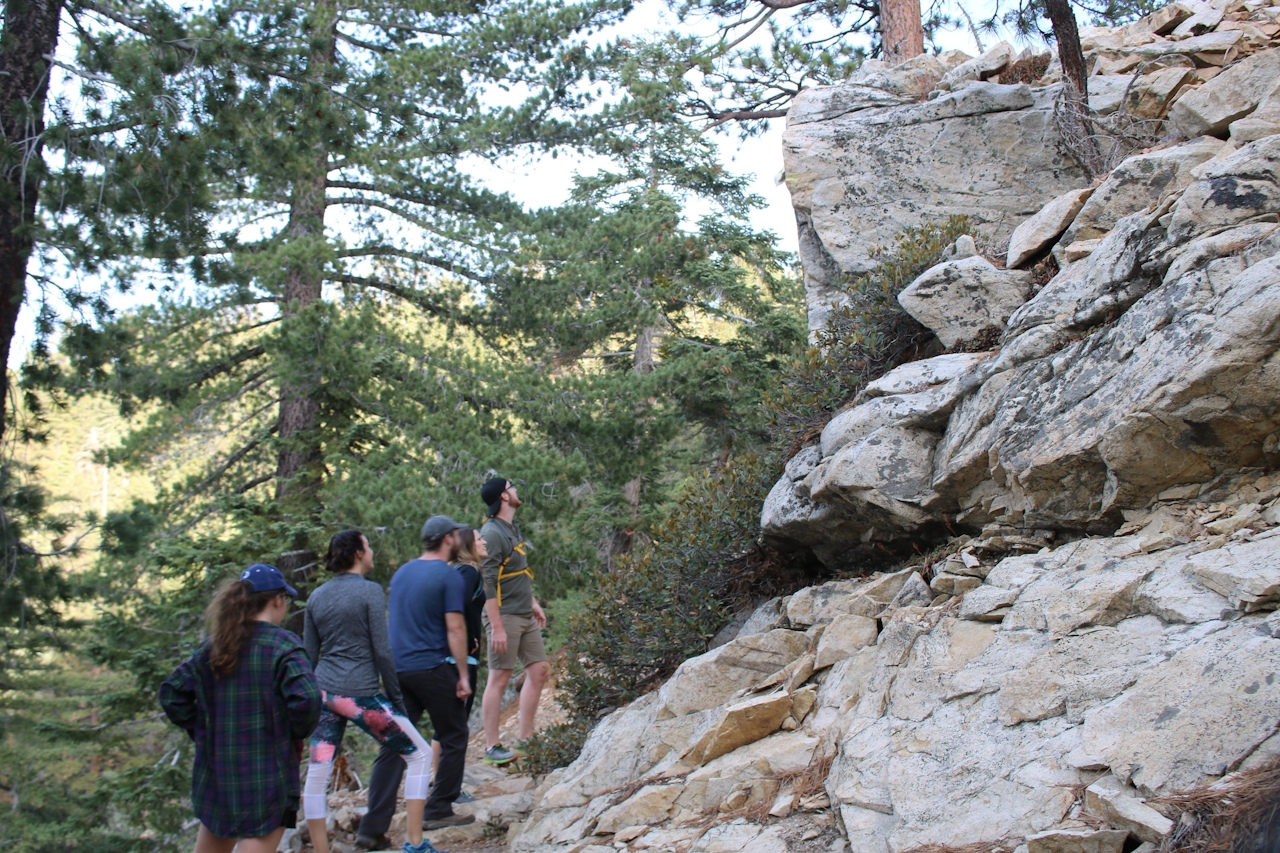
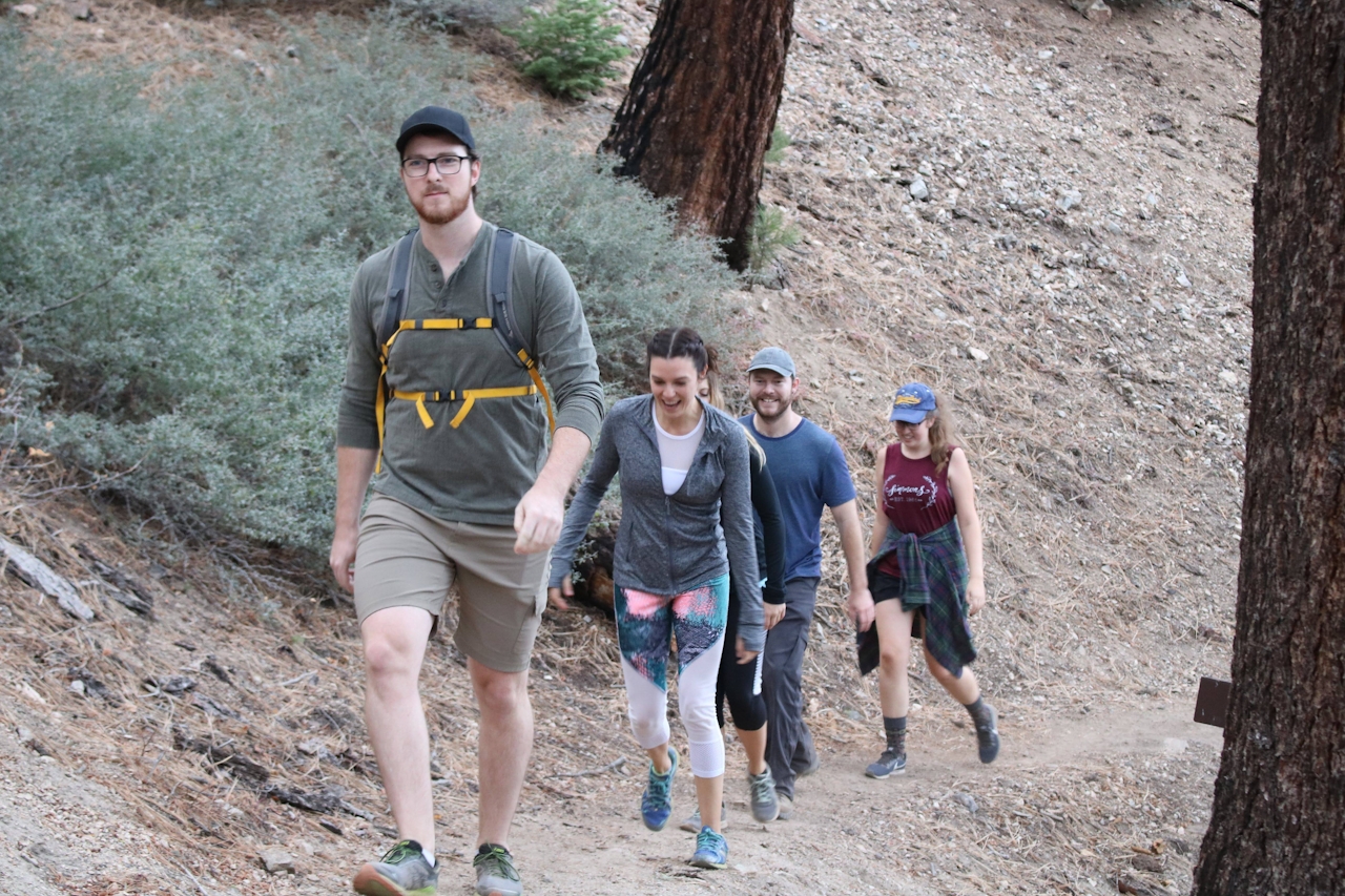
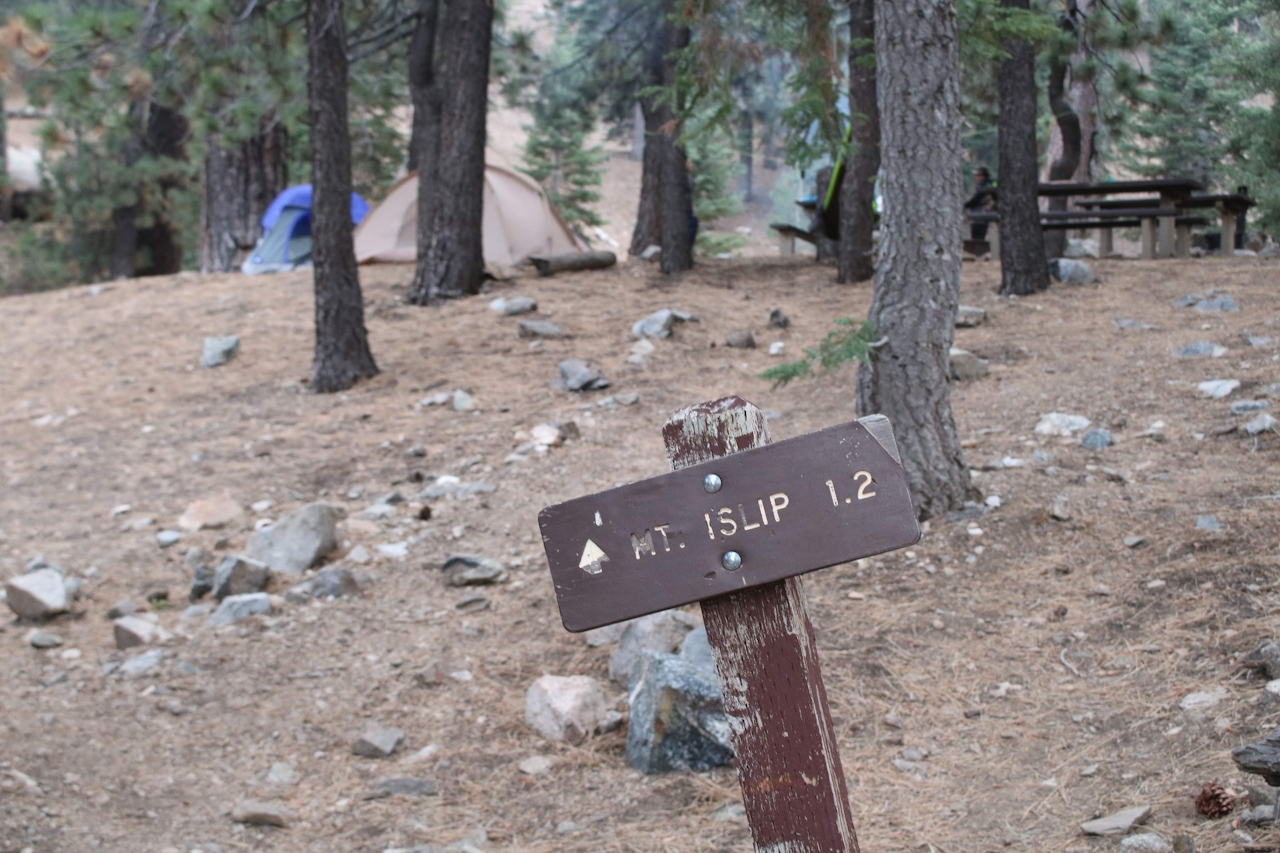
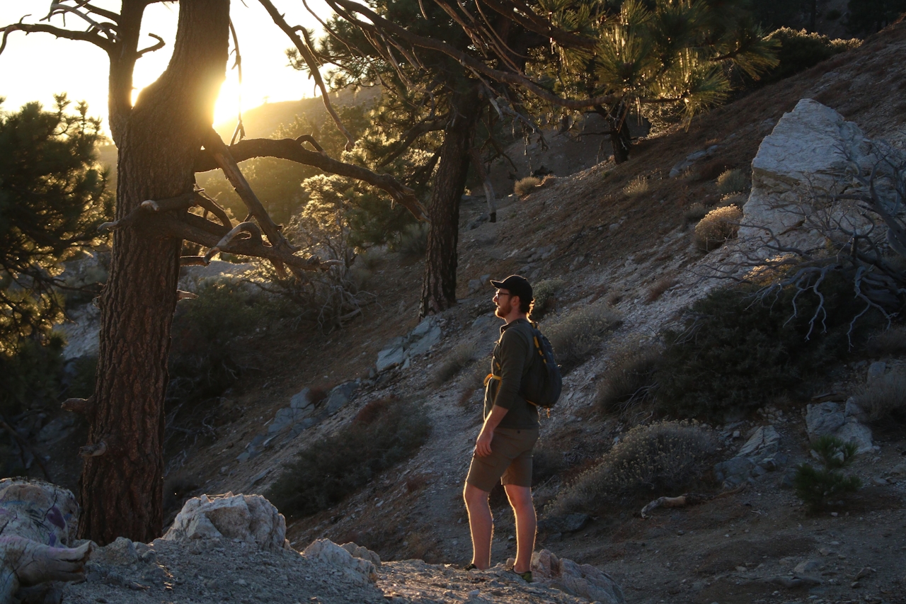
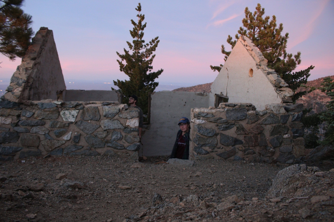
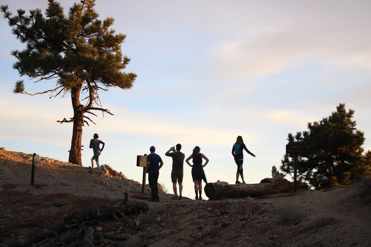
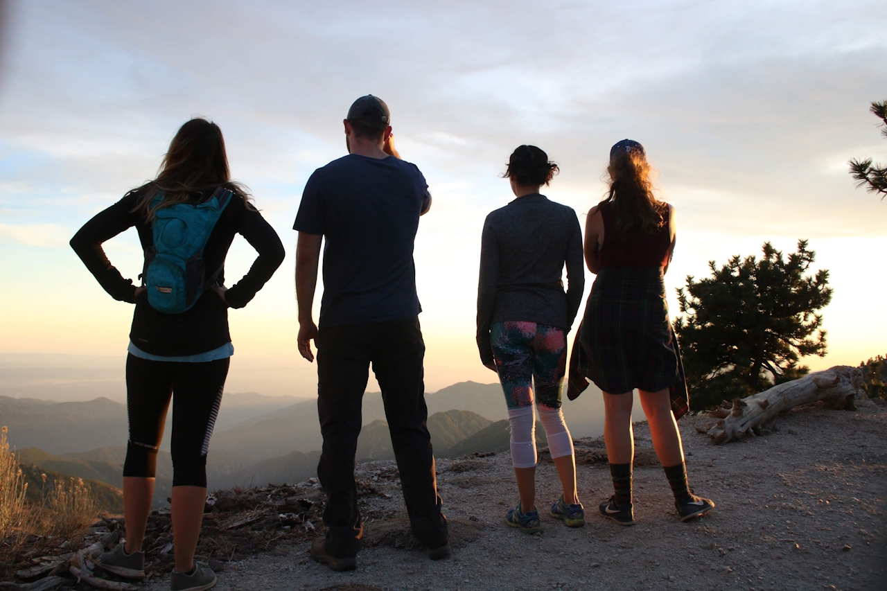
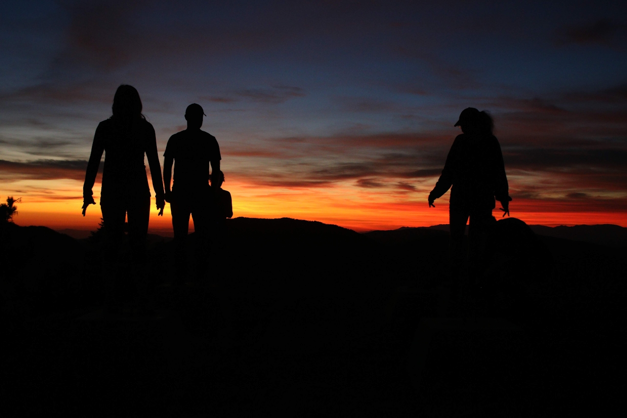
Across the street from the Islip Saddle parking area you’ll find the trailhead, which puts you on a brief section of the Pacific Crest Trail. The first half mile is full of short switchbacks for some rapid elevation gain, but the remainder of the trek has a gentle incline to the peak. After 2.1 miles you’ll reach Little Jimmy Campground. Bear right and follow the signs for Mount Islip. At mile 2.5, you’ll come to the Windy Gap trail junction. Make a sharp right to diverge from the PCT onto the Mount Islip Trail, which is clearly laid out by the signs with arrows pointing you in the right direction. From there it’s just one more mile with a couple of switchbacks. When you come across the ruins of an old cabin, you’ve reached the peak. From there you can relax on the old foundations of the onetime watchtower and enjoy being surrounded by the wild beauty of the San Gabriels.
From the I-210, take Exit 20 for CA-2 and turn right. Stay on CA-2 (Angeles Crest Hwy.) for 39.5 miles until you reach the parking lot for Islip Saddle at the junction of the Angeles Crest and the closed-down CA-39. An Adventure Pass is required for parking.







