Grant You This
Hiking or biking in Joseph D. Grant County Park


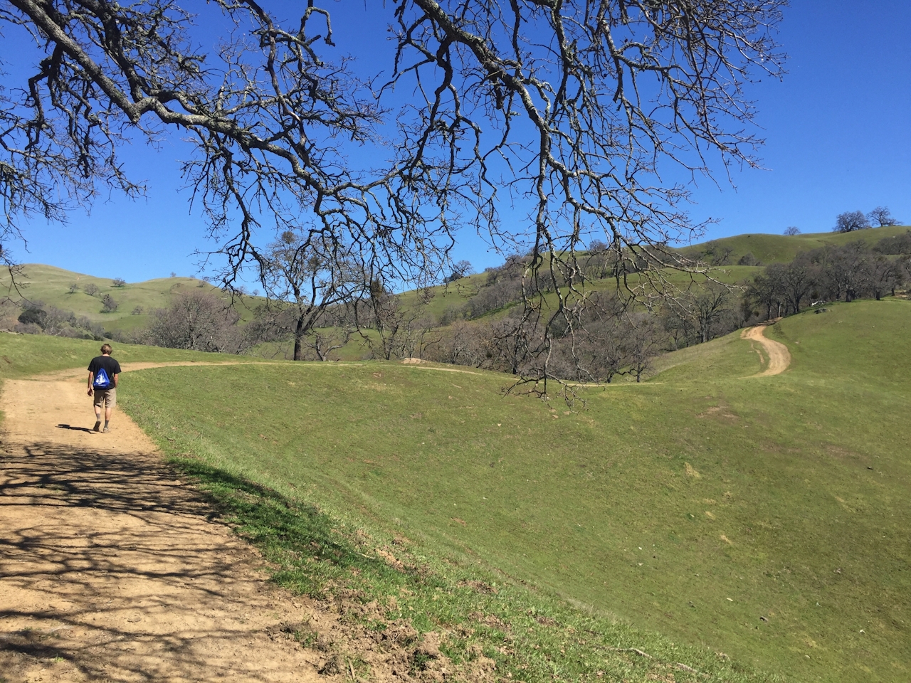
High up in the foothills overlooking Santa Clara Valley, Joseph D. Grant County Park is a vast landscape of hiking and biking terrain where the grass colors often run in hues of browns and bronzes. But just add water (aka heavy rains) and Joseph D. goes wild in more ways than its location! Wildflowers are coming in the next several weeks (buttercups are already blossoming) and the grassy hills have gone from golden to green ... really green ... their finest shade of green in quite some time! Early spring is one of the best times to visit this exposed park (summer heat can be very unpleasant and possibly dangerous). This 5-mile loop hike (or mountain bike) goes up and through the hills, with valley views framed by the Santa Cruz Mountains.
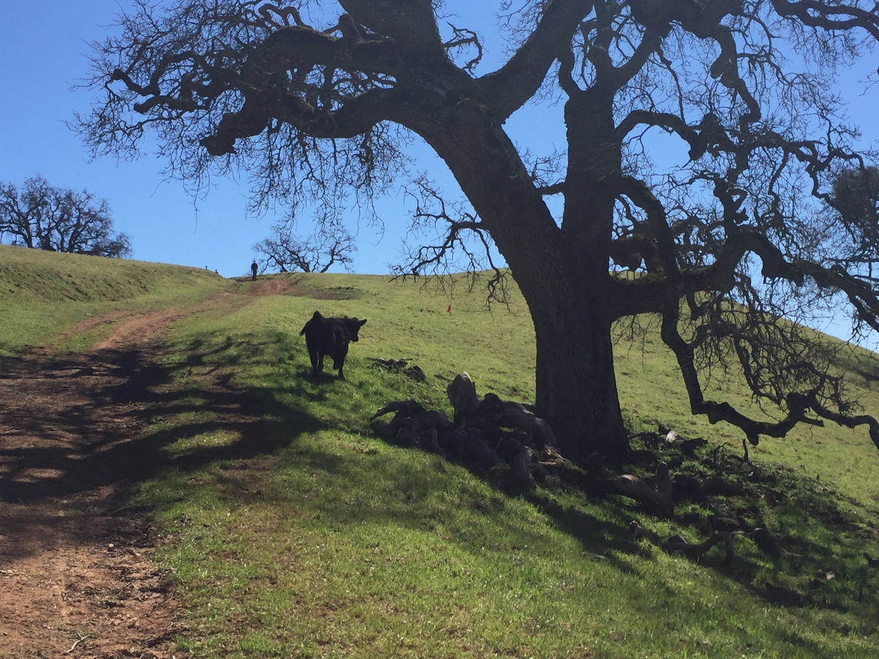
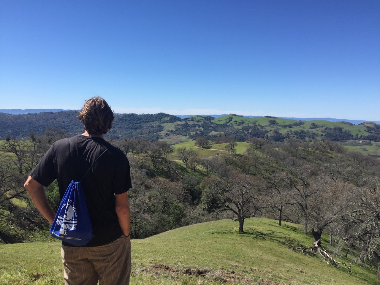
Begin on the Halls Valley Trail, which starts off flat but soon ascends into the exposed expanses, past oak trees and up to impressive views of Silicon Valley and the Santa Cruz Mountains. You’re likely to pass grazing cow-lifornians, delighting in the greenery just as much as you. After about 2.5 miles, turn right at the intersection to follow Cañada de Pala Trail, where you’ll hike along the ridgetop for about 0.5-mile until you get to another intersection and turn right again for Los Huecos Trail. Descend to the base of the hills and back to Grant Lake to complete the loop.
From 680, take the Capitol Expressway exit and merge onto E Capitol Expressway. Use the two left lanes to turn left onto Quimby Road, and follow Quimby 10 miles into the park. Park for free at the Grant Lake entrance and follow Halls Valley Trail. Note: This is an exposed hike so not recommended in summer or other hot-weather days. Bring plenty of water and sunscreen. Dog-friendly!
NOTE: The above driving directions are an alternate route due to the current Mount Hamilton Road closure. Check the website for updates and driving directions when Mount Hamilton opens.







