Find Placerita Gold
Hiking Placerita Canyon in Los Angeles County


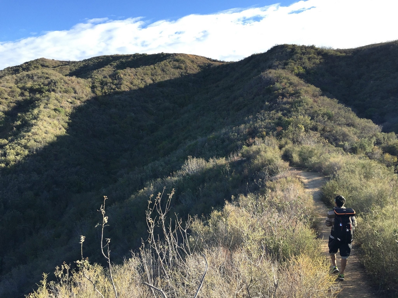
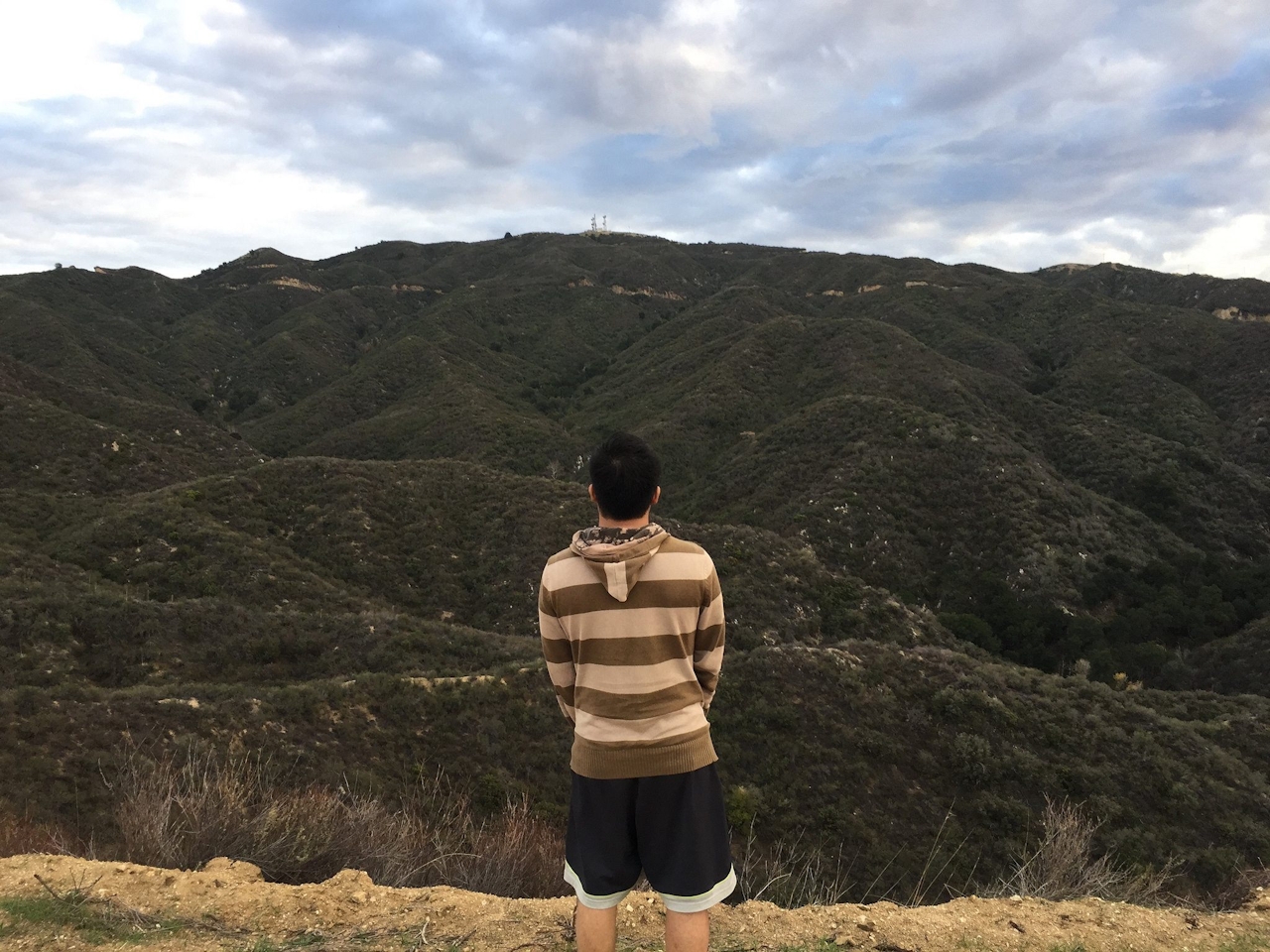
For one of the most relentless ascents in Los Angeles County, head to the Placerita Canyon Natural Area to tackle the Firebreak Trail loop, which gains 1,700 feet in 7 miles. It’s a workout hike with payoff views at the height of the loop, and along the way. Find the trailhead directly across from the nature center, marked by a sign for the Hillside Trail. The climb begins immediately through rolling chaparral-covered hills and offers a short spur trail to the peak of Manzanita Mountain for some early-going gorgeous views. After a mile, you’ll reach a T-junction, where you should quickly head up the fire road to your right for about a quarter-mile to admire one of the most awe-inspiring 360-degree vistas in Southern California. It’s a seemingly endless view across the Antelope Valley to Santa Clarita and the Sierra Pelonas. Then return to the T and head up the steep fire road that forms the left side of the T to begin a series of relentless ups and downs. This high-effort, high-reward experience ends after about two miles, where you veer left at the junction with Whitney Canyon Road.
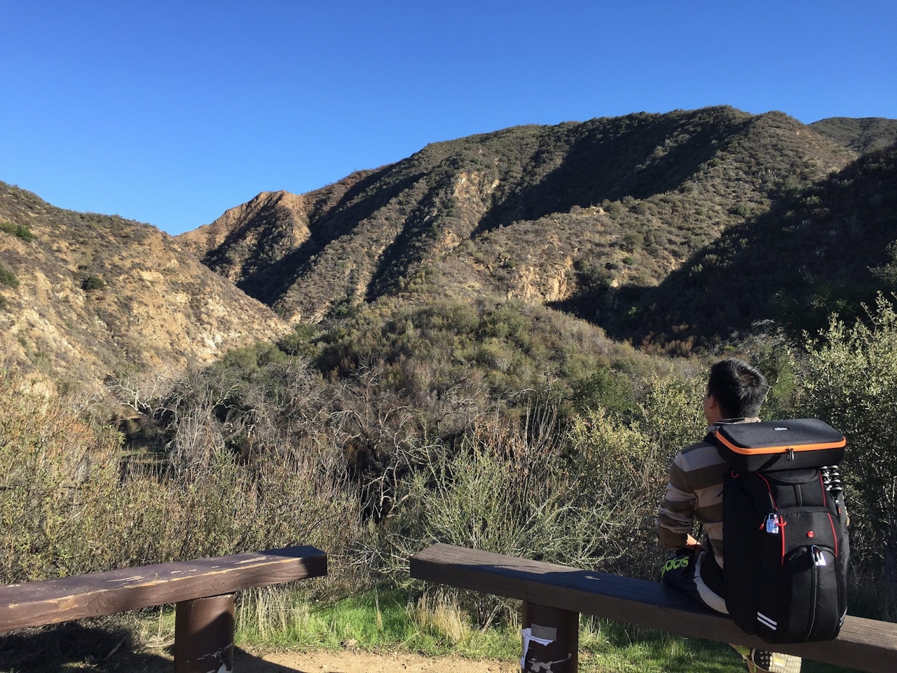
After another 3 miles, you’ll reach Wilson Saddle (3,150 feet), the highest point of the hike and a good spot for a picnic break. Look for the signed trailhead to the Los Pinetos Trail, which immediately switchbacks down into a canyon. Thank the towering oaks for the shade and, after 2 miles, take Canyon Trail, the leftmost trail at the junction.
Here the loop traces the mostly dry Placerita Creek and leads you back to the trailhead and parking lot. If time permits and your legs still work, check out the historic Walker Cabin and the Oak of the Golden Dream—the site where gold was first discovered in California—via a short trail near the park entrance to the west.

To get to the Placerita Canyon Natural Area parking lot, take I-5 to CA-14 north and exit Placerita Canyon Rd. to the east. After 1.5 miles, a sign indicates the entrance to the park on your right. Dog-friendly!







