Flat Out Interesting
Hiking to this Lookout in Henninger Flats


The historic Castro Peak Lookout helped watch over the Santa Monica Mountains from 1925 to 1971 before later finding a second life at Henninger Flats in the San Gabriels. Though the tower was removed in 2025, its legacy lives on at this historic mountain destination. Henninger Flats remains a fascinating destination, with a pack-in, pack-out campground, forestry history, and sweeping views of the San Gabriel Valley.
Getting there requires a 5.6-mile round-trip climb that's equal parts workout and walk through Southern California history.
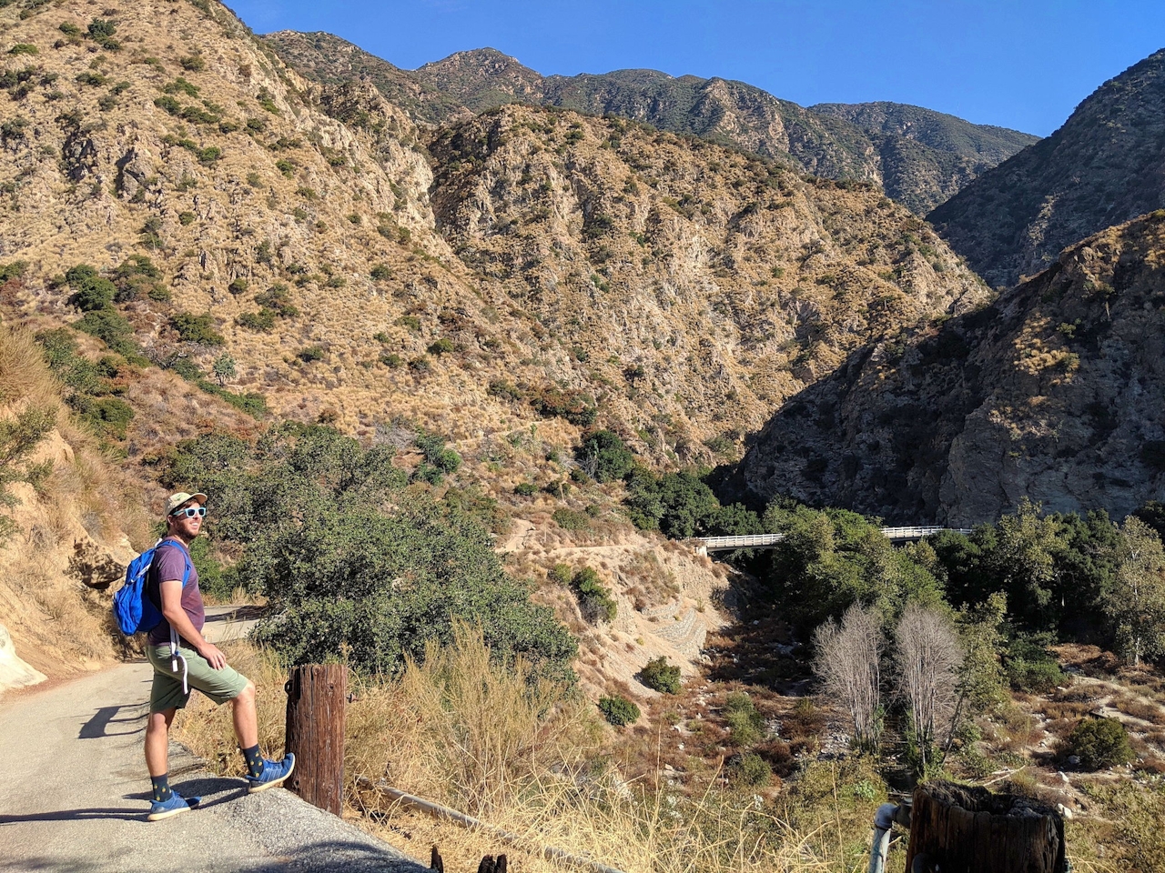
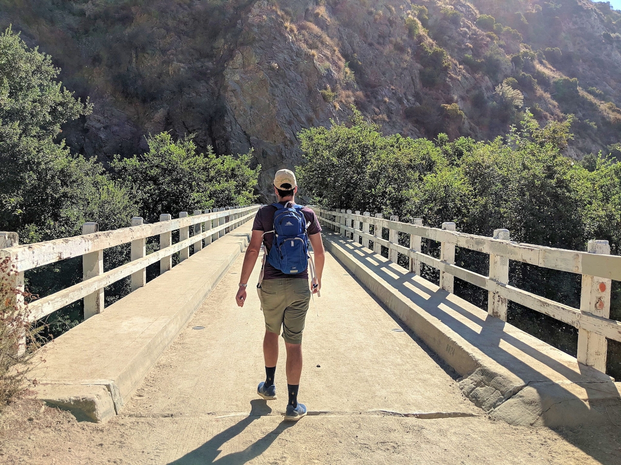
From the Mount Wilson Toll Road Gate, head down into the canyon, crossing a bridge and ignoring a descent at the junction (it leads to Eaton Canyon). Instead, start your uphill slog for 1,400 feet of thigh-burning gain. The vistas are unobstructed and glorious all the way, but the trail offers little shade, save for the surprise pine or two among yucca, Indian paintbrush, and laurel sumac. Bring lots of water, because although Henninger may have a campground, it has no water supply.
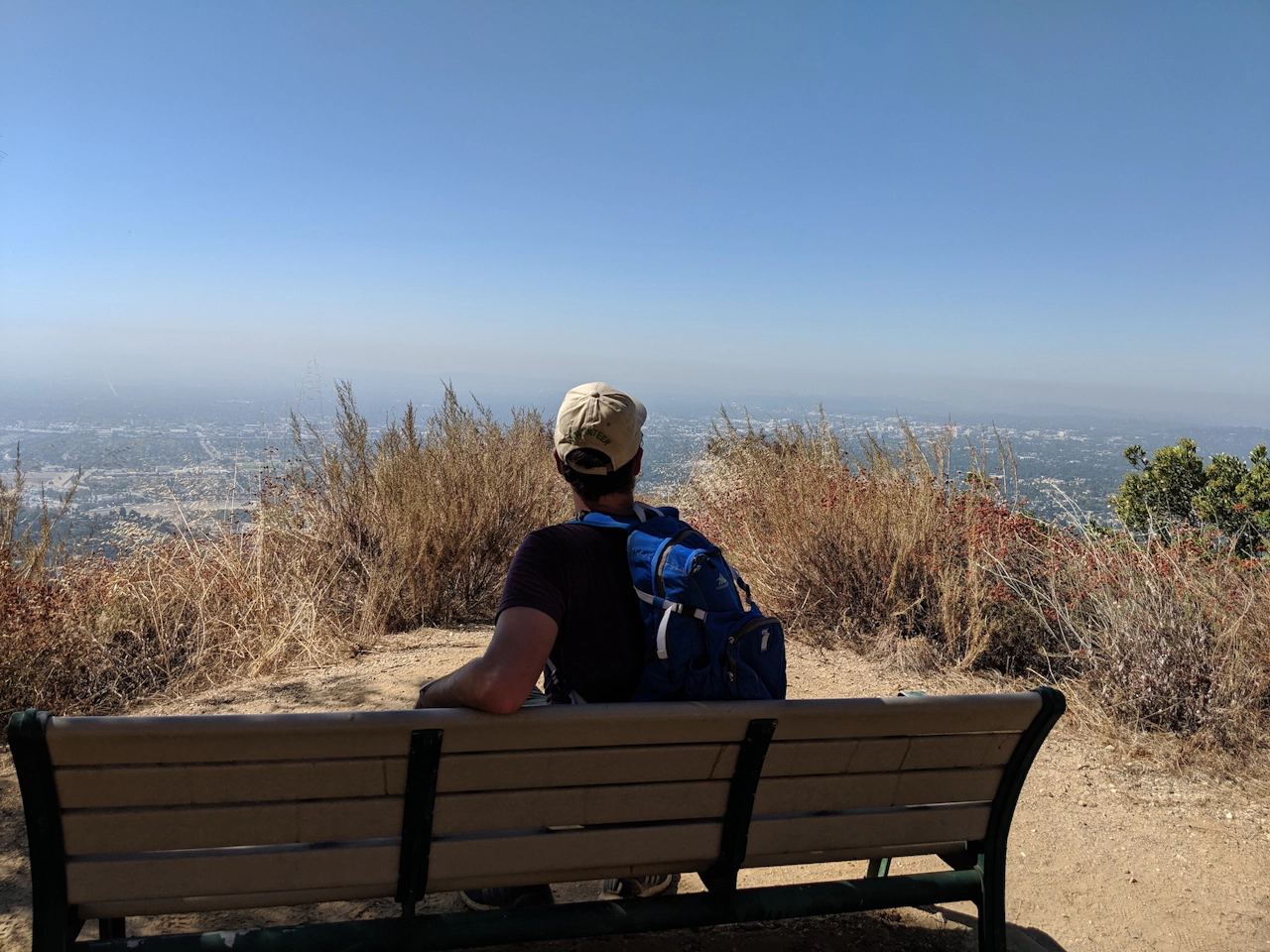
Benches break up your ascent, and it is well worthwhile to stop on a clear day and gaze at the downtown skyline and beyond.
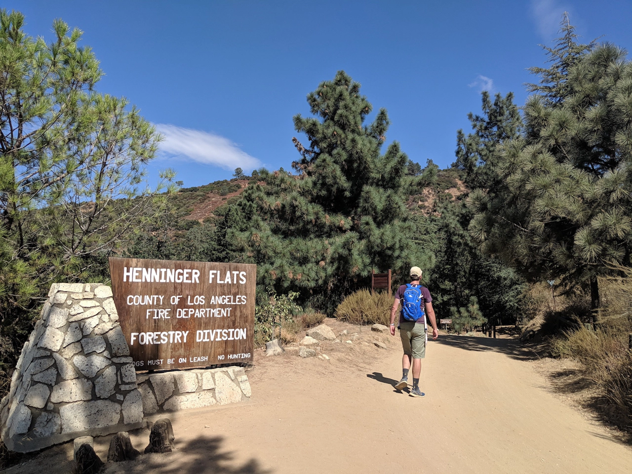
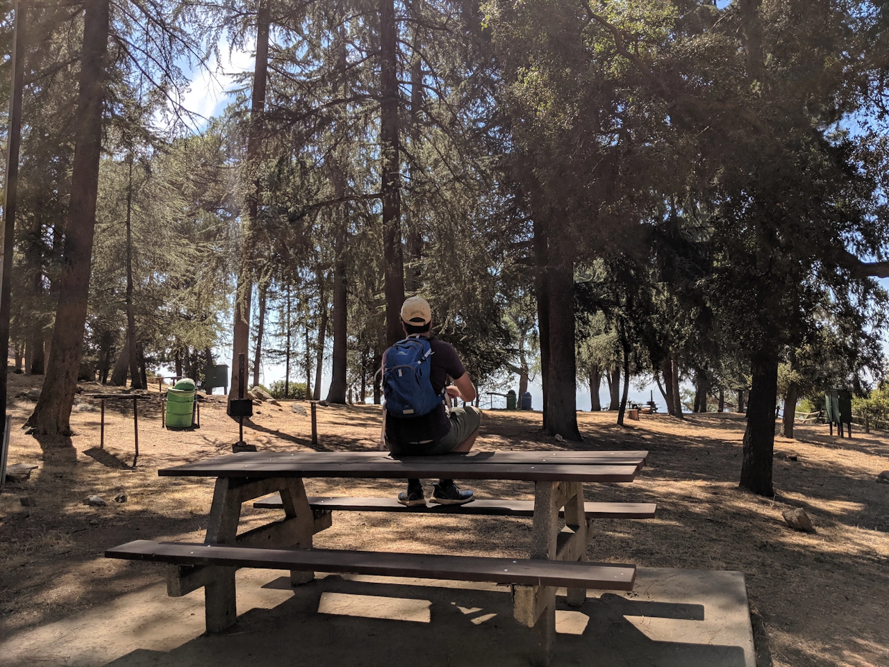
When you reach the welcoming sight of the Henninger Flats sign, the trail deposits you into an even more welcoming grove of pines towering above the campsites.
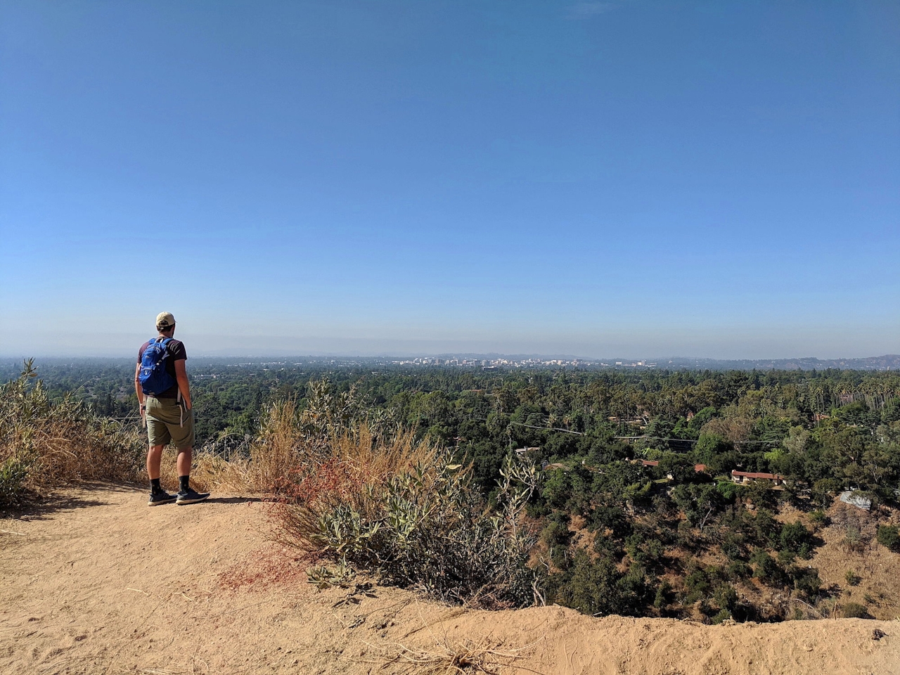
Enjoy a final sprawling look across the flats, before the journey back to your car.
To get to the Pinecrest/Mount Wilson Toll Road trailhead, take the I-210 to Pasadena to the Allen Ave. exit (coming from the east), or the Hill exit—staying along Corson St. to Allen Ave. (coming from the west). Then head north on Allen. After 2.5 miles, turn right onto Mendocino Ln., which turns into Crescent Dr. after crossing Altadena Dr. Take your first left onto Pinecrest Dr., followed by a right onto Bowring Dr. Park on Bowring Dr. for free street parking and walk east on Pinecrest to find the Mount Wilson Fire Rd. gate. Dog-friendly!







