Joshua Tree's Secret Aerie

Hiking to Eagle Cliff Mine in Joshua Tree National Park

Hiking to Eagle Cliff Mine in Joshua Tree National Park

You won’t find Eagle Cliff Mine on the official Joshua Tree National Park map—which is part of the appeal of this challenging 4.6-mile (round-trip) out-and-back trek. This semisecret destination is not so much the mine (which is completely sealed off), but rather the unique mining cabin, high on a hillside, wedged between two boulders.

The site dates back to 1895, making Eagle Cliff one of the oldest mining projects in the park. Amazingly, it still stands in relatively untouched condition. Start off at the Split Rock Loop trailhead, where you’ll get to immediately see Split Rock, a formation that easily earns its name. The way along Split Rock Loop Trail is marked for easy following.

Hiking to Eagle Cliff Mine in Joshua Tree National Park

In this portion you’ll see teddy bear cholla and Mojave yucca, which look like baby Joshua trees. Ironically, you won’t see any actual Joshua trees on this trail. At the 0.3-mile mark, an intersection sign points the way for Split Rock Loop Trail. This is where you turn right onto a rough trail that’s behind the sign. The trail is unmarked and unnamed. You’ll traverse two hills before coming across a steep hill that rapidly ascends almost 400 feet and requires some bouldering. This is also where the trail becomes very difficult to follow. Small cairns will be your best friends during this section. You’ll also appreciate the shade from an occasional juniper.

When you reach the top, you’ll only have a quarter-mile left to go. Keep a close eye on the trail, as some parts are obstructed by boulders. Eagle Cliff Mine had two entrances—both on the right side of the trail and both easy to miss. When you see the first one, you’ll know you’re close, and the second is within sight of the cabin. When you slightly descend on a plateau, you’ve arrived. The cabin is hidden in the boulders on the right side of the plateau and slightly obscured by a mesquite tree. Inside is a logbook where you can sign your name as one of the few visitors who’ve experienced Eagle Cliff Mine. Final note: You’ve come this far, so don’t miss out on the sweeping desert view that’s just past the cabin.

Take CA-62 and the Joshua Tree entrance to the park. Continue on Park Blvd. for 18.2 miles and make a left onto an unnamed road at the first intersection after Skull Rock. A sign will precede the intersection showing that Split Rock is to the left. At the end of this short road is Split Rock Loop Trailhead. No dogs. Trailhead coordinates: 34.009613, -116.055877

Trending Stories NorCal

View all Stories
  1. A woman stands at Dante's View in Death Valley, looking out to Telescope Peak and Manly Lake, Badwater Basin below.

    Sunset Hike (and Manly Lake Vista!) at Dante's View

    It’s one of the world’s best places to watch a sunset. Dante’s View is a 5,476-foot vantage of the whole southern basin of Death Valley from the top of the Black Mountains. On clear days you get views of both the highest and lowest points in the contiguous U.S. 

    View
  2. The Carson Show

    Carson Falls is ready for primetime. This three-tiered, 100-foot stunner is hidden back in a canyon outside of Fairfax and reached on a 3.25-mile (round-trip) hike.

    View
  3. Sugarloaf Ridge State Park waterfall hike in Sonoma Valley

    Sweet as Sugarloaf

    Right in the heart of wine country there’s plenty more than wine flowing right now, with an oft unheralded waterfall that surges to an exuberant spectacle from all the recent rain.

    View
  4. Taking the Stage: Tyler Ranch

    Hike the recently opened Tyler Ranch Staging Area in Pleasanton Ridge Regional Park, with 18 miles of new trails. This 6.5-mile loop up Sunol Peak is a challenge and rewards with exceptional views of seasonal iridescent hills.

    View

Trending Stories SoCal

View all Stories
  1. Rise and Shine Zabriskie Hike

    The sunrise at Zabriskie Point makes a grand entrance, with the light ascending slowly and washing over the golden badlands. It’s signature Death Valley. It’s also a great starting point for one of the Valley’s marquee hikes.

    View
  2. Kelso Dunes

    The hike to the top of Kelso Dunes in the Mojave National Preserve is only 3 miles (out and back), but you’ll feel like you’ve hiked much farther by the time you’re done.

    View
  3. Woman on Mesquite Flat Sand Dunes at Death Valley National Park

    Starry Night & Dark Sky Adventures

    You don’t have to stay out all that late to experience eminent stargazing at Death Valley National Park. The park's been given the highest ranking of darkness by the International Dark-Sky Association. Here are a trio of amazing ways to witness the mesmerizing night sky at Death Valley:

    View
  4. Woman at the Martin Luther King Jr. Memorial Tree Grove in LA

    LA's Memorial to MLK

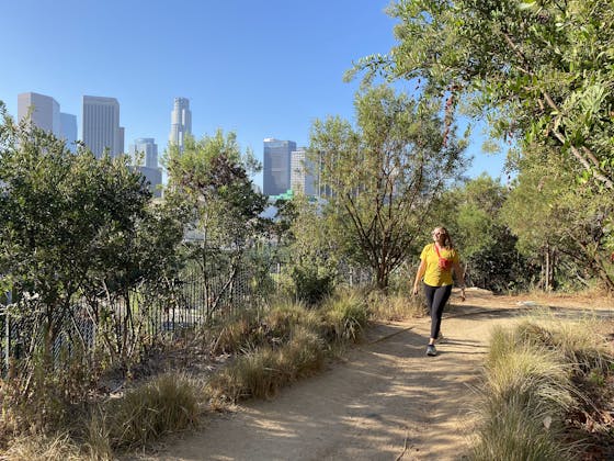
    The 400-acre Kenneth Hahn State Recreation Area is home to trails, lawns, picnic areas, and—at the park’s highest point, overlooking LA’s skyline—the Martin Luther King Jr. Memorial Tree Grove.

    View