Good Morton!
Hiking to Morton Peak Lookout in the San Bernardino Mountains

The greatest payoffs often come after the toughest challenges, so it’s no surprise that the panoramic views from Morton Peak Fire Lookout are some of the best in the San Bernardinos. To get there, you’ll need to endure a 5.25-mile (round-trip) grind that climbs 1,400 feet on an out-and-back fire road that offers little sun protection and lots of calf-burning ascents.
Park in the dirt lot at the trailhead just off Highway 38 and stretch those legs before hitting the dirt path, which wastes no time starting the uphill battle. The more you hike, the grander the views get, with Mill Creek below and San Bernardino Peak looming in the east.
You’ll pass under a couple of towering oaks, but you’ll mostly enjoy yucca, laurel sumac, sagebrush, and manzanita among other chaparral favorites. After a mile, you’ll reach a junction—take the gated route to the left and continue your switchbacking routine.
At nearly two miles, the fire lookout comes into view as you ignore a narrow use trail (the Santa Ana River Trail) and curve around the southern side of the mountain. After the final stretch, you reach Morton Peak (4,619 feet) and the lookout, where you will most likely be its sole admirer, unless a volunteer is tending to the structure and doing observation duties.
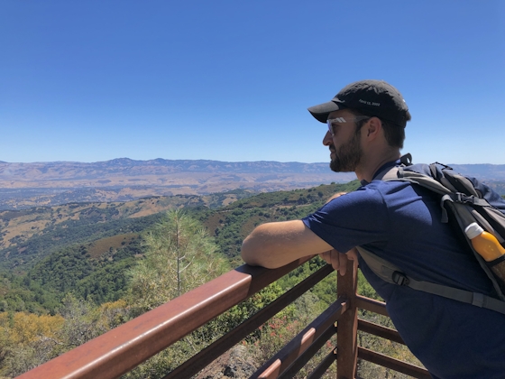
The peak and tower are named after R. B. Morton, considered to be the first official member of the Redlands settlement in the late 1800s. Appropriately, you get an incredible view of the much-more-populated town, along with neighboring Yucaipa. You can also see the nearby San Gabriel and San Jacinto Ranges, as well as the Palomars to the south. Originally built in 1934, the current tower is a product of a 2001 refurbishment project.
After you’ve admired the vistas, enjoy a snack or lunch at a picnic table under the tower and two towering pine trees before the knee-busting descent to your car. Don’t forget the binoculars!
NOTE: Take the I-10 to the University St. exit in Redlands. Head north on University St. for a mile before turning right on CA-38. Continue 9 miles. The trailhead and dirt lot will be on your left. Bring plenty of your own water. Dog-friendly!
Bring the Outdoors to Your Inbox
Sign up for our weekly email and stay up to date on where to explore in California.
* No spam, that's a funky food!


