At Play on Rocky Peak
Hiking to Rocky Peak Above Simi Valley


Big views, big boulders, and a great hike are all good reasons to rock out on the Rocky Peak Trail in Simi Valley. This hike takes you on a gradual ascent (about 1,000 feet in gain) for nearly five miles to (surprise!) a rocky peak whose 2,715-foot summit straddles the border between Los Angeles and Ventura Counties.
A paved path charges immediately uphill and becomes a dirt-and-bedrock trail the rest of the way, always offering epic views of the Simi Valley to the west. At 0.75-mile, a sandstone wind cave is your first opportunity for rock play, plus a chance to duck out of the sun on this mostly exposed hike. Continue on and stay right at the junction, pausing for a breather a bit farther up for some incredible vistas to the east. All the while, you’ll encounter plenty of boulders that are a blast to scramble on to reach more views.

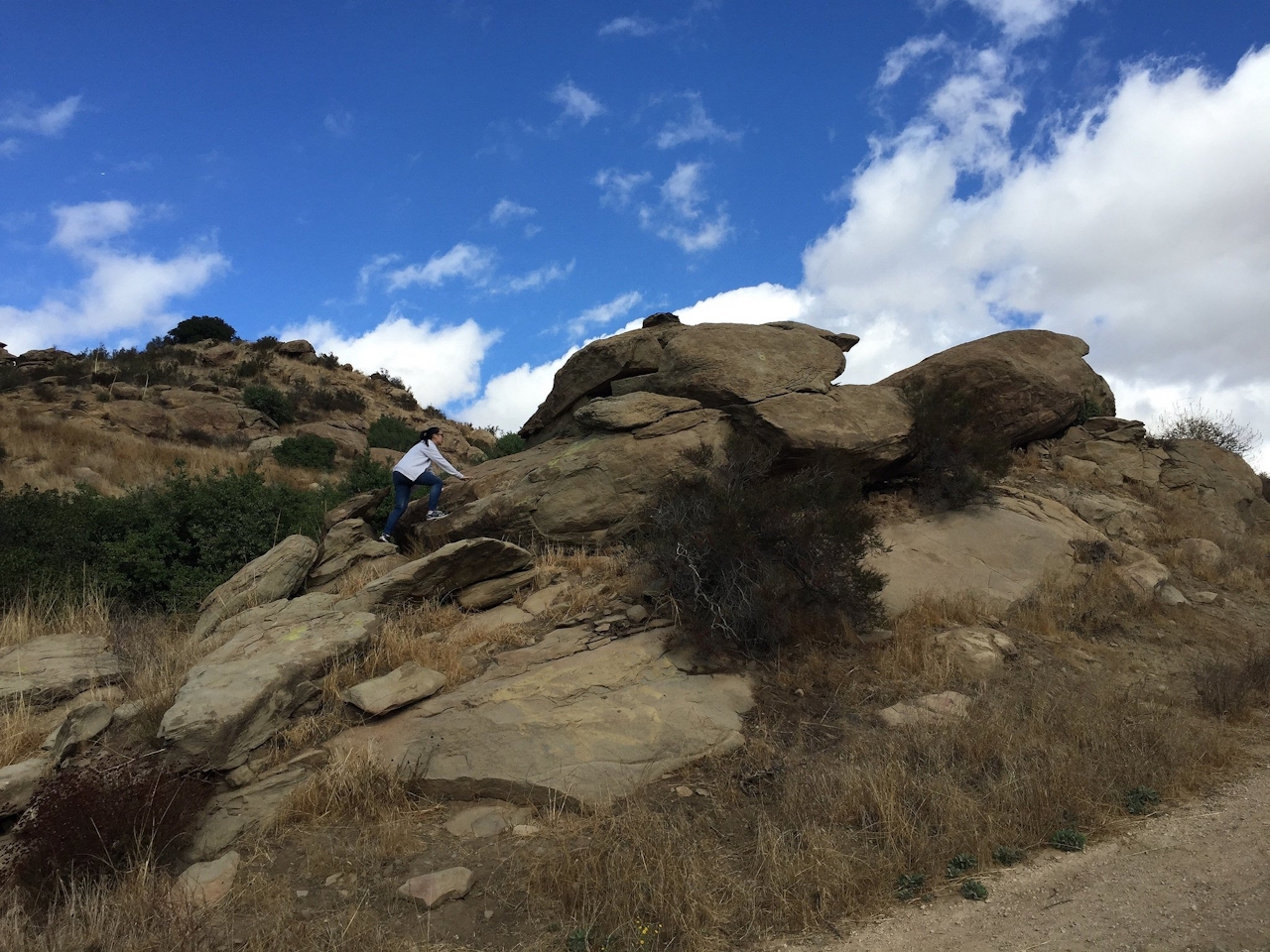
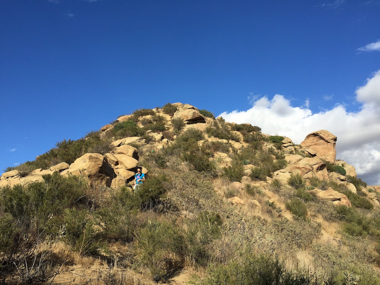
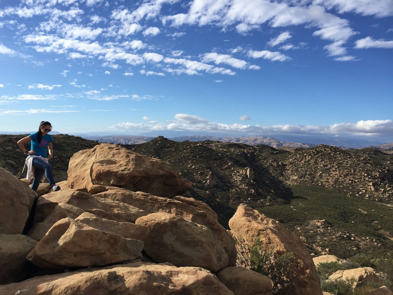
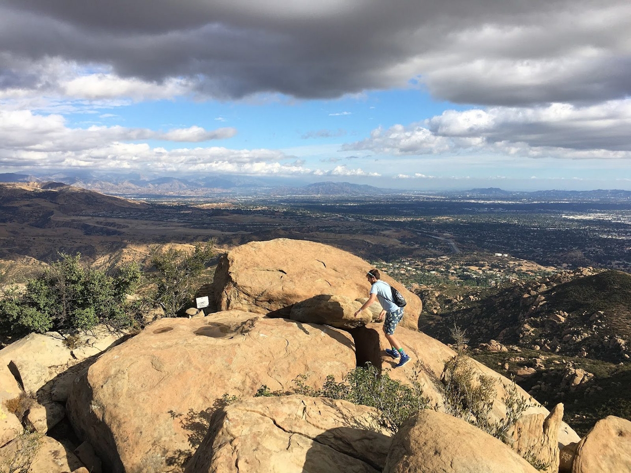
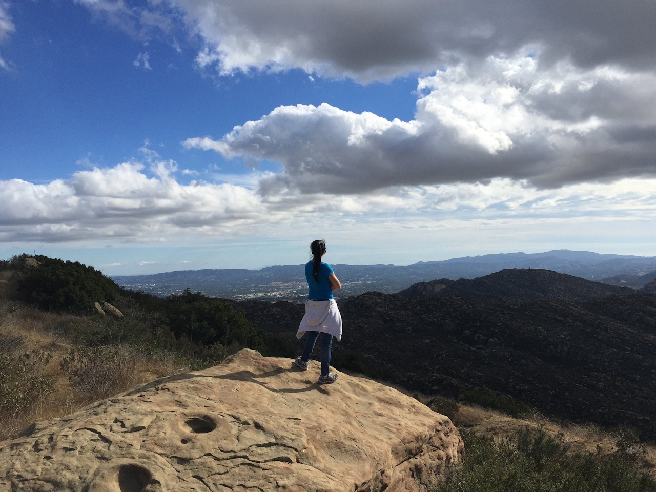
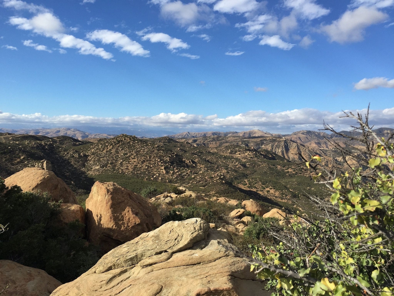
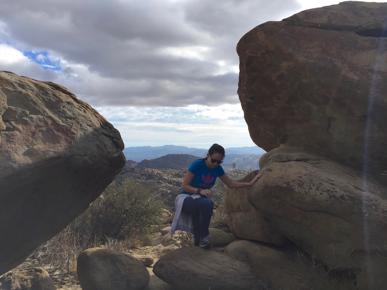
At about the 1.5-mile mark, the trail descends a bit and your 1.75-mile marker is a giant gnarled dead oak, a rather ominous perch for local crows and turkey vultures. The final ascent is a grueling one that rewards you with even more rock-framed panoramas. When the trail plateaus at an unmarked junction, take a sharp right and continue your ascent. Three prominent rocky peaks come into view. Your destination is the tallest one, also the farthest east. Maneuver around the first rocky outcropping and as the track narrows, stay right around the second set of giant boulders. Finally, with the peak directly in front of you, get ready to use your hands for some steep scrambling up the summit of Rocky Peak.
At the top, boulder-hop toward the easternmost point for some truly amazing 360-degree views of the surrounding Santa Susana Mountains and the Simi and San Fernando Valleys. Be sure to register your accomplishment in the guest book before rocking back the way you came.
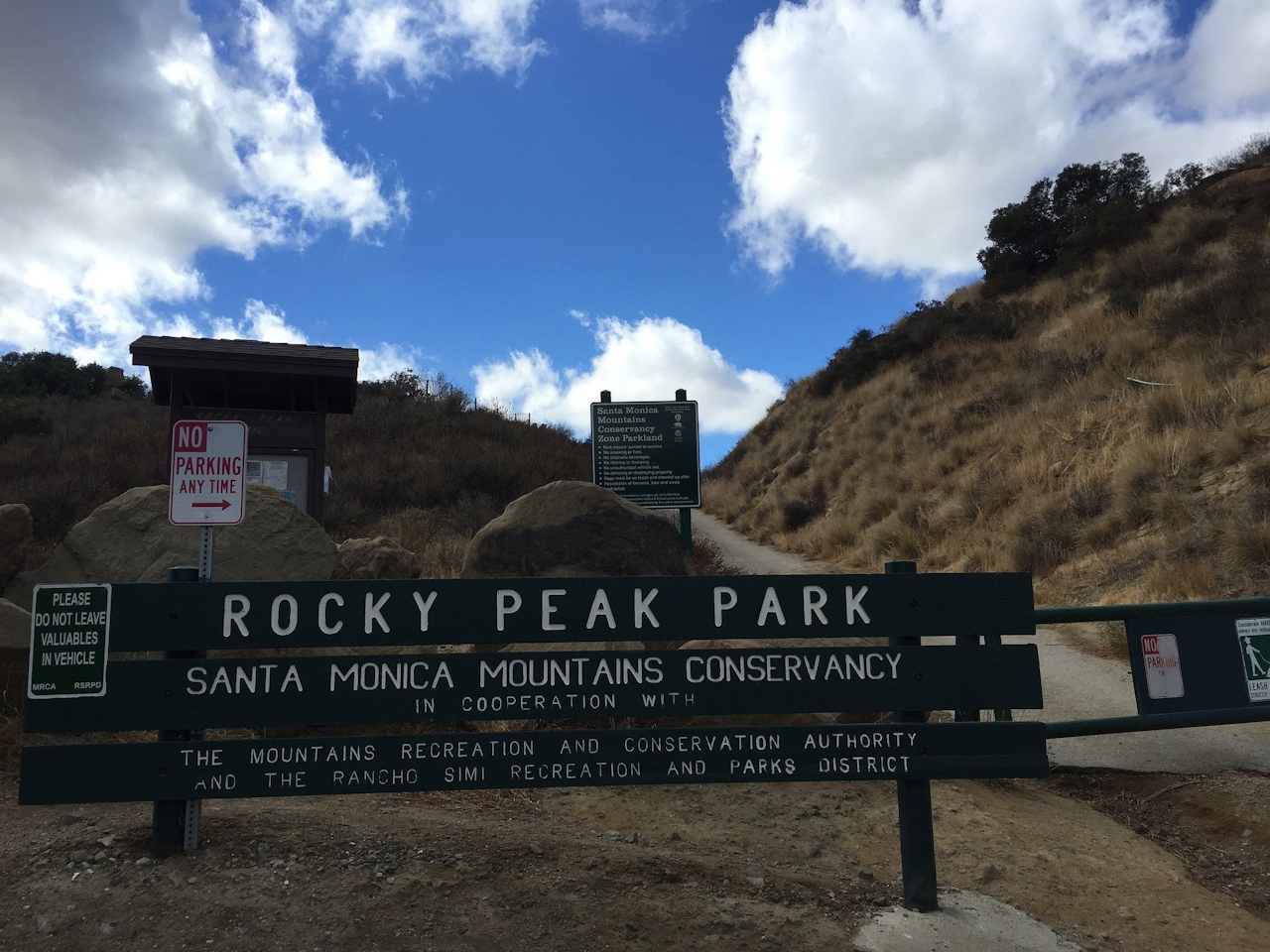
To get to Rocky Peak, take CA-118 to the Rocky Peak Rd. exit. The small parking lot is just north of the freeway. Additional parking is south of the bridge over the 118. Dog-friendly!
Story and photos by Matt Pawlik, @mattitudehikes







