Old Tom's Cabin
Hiking to Vincents Cabin in the San Gabriel Mountains

The short hike to Vincent’s Cabin provides vast mountain views and dense forest shade—and a chance to visit an odd bit of SoCal history surrounding the man who was Tom Vincent. The 1.5-mile (round-trip) out-and-back hike takes you to a small, secluded 19th-century cabin on the north side of the San Gabriel Mountains just outside Wrightwood.
Civil War veteran Charles Tom Vincent was known to be grouchy, suspicious, and mysterious. Vincent, who discovered and sold Big Horn Mine, was also a man on the run. The story goes that in 1926, as he lay dying in an LA hospital, suffering injuries from a bear attack, Vincent decided to confess to his doctor that he was a wanted man. An altercation in Arizona led to his killing three men in self-defense. He fled to California and eventually settled in Vincent Gulch, where he spent the majority of his life. He also confessed that his real name was Charles Vincent Dougherty—he wanted his identity known so that, as a Civil War veteran, he could be buried in Los Angeles National Cemetery.
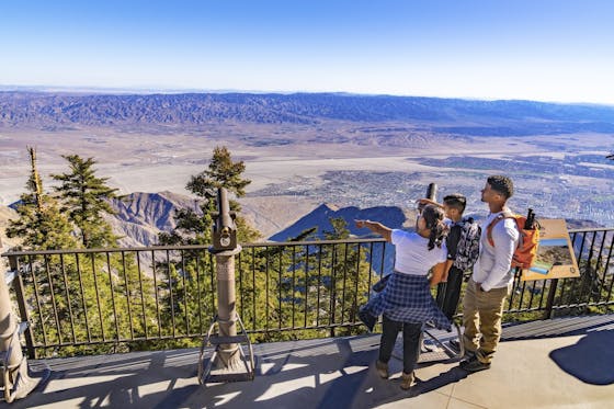
The trailhead starts from Vincent Gap, which is a junction for multiple trails. From the parking area take the trail on the left, leading downhill. (The trail on the right leads to the summit of Mount Baden Powell.) You’ll immediately be treated to open views of the San Gabriels’ northern slopes. Just before you’ve gone a quarter-mile, you’ll see a clearly marked fork. Head left for Mine Gulch Trail. You’re going the right way if you’re heading downhill. In just over half a mile, the expansive views of the mountains will slowly be obscured by towering Jeffrey pines and green foliage.
At 0.7 mile, the trail continues straight, but you need to turn right and hop over a fallen tree (keep an eye out; it’s easy to miss). From there you’ll head downhill just a little bit more, and then as you ascend, the cabin will slowly come into view, almost perfectly framed by the surrounding pines. You can go inside the cabin and check out the stone fireplace as well as some pots and pans that may well have belonged to ol’ Tom—er, Chuck—himself.
From the I-15 in Cajon Pass, exit on CA-138 and turn west. Follow CA-138 for 8.6 miles, then turn left onto CA-2, the Angeles Crest Hwy. Follow CA-2 for 13.9 miles and then make a left into the Vincent Gap parking lot. You'll need to display an Adventure Pass to park. Dog-friendly!


