A Shot of Whiskey

Hiking to Whiskeytown Falls in Whiskeytown National Recreation Area outside of Redding, Northern California

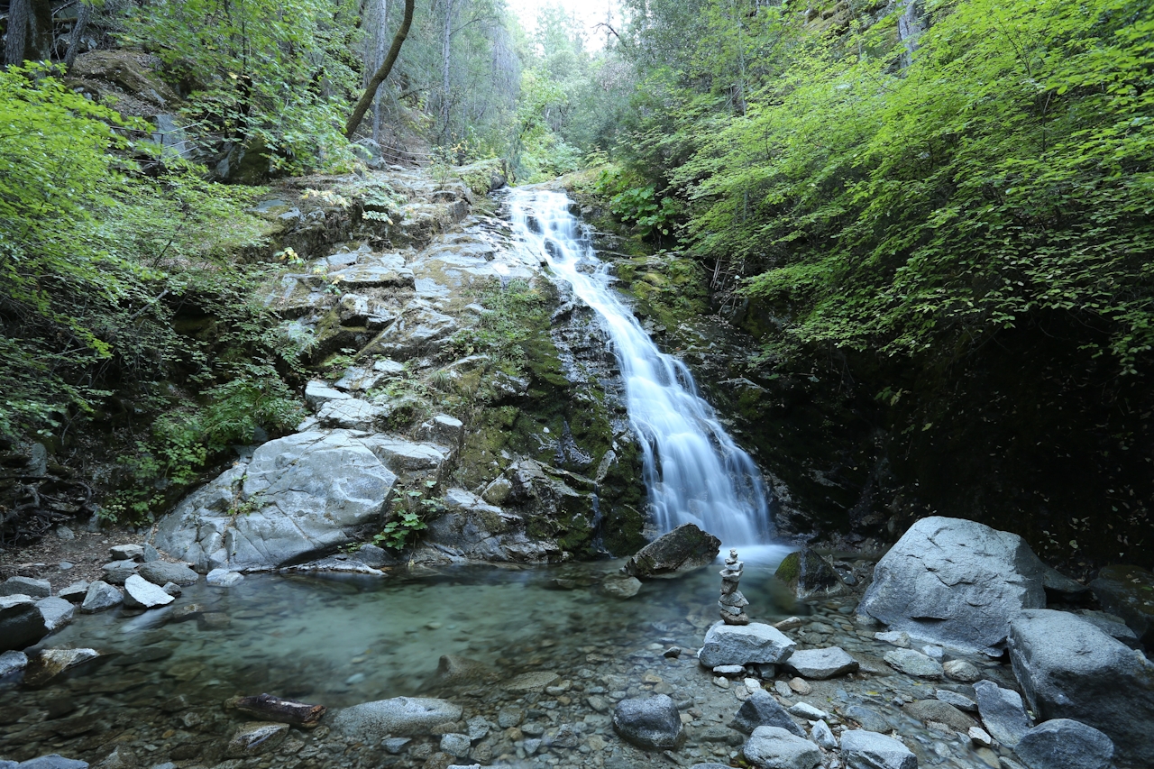
Whiskeytown Falls is a relative newcomer. While a few locals knew of its existence, it wasn’t largely shared, and there wasn’t a trail—until 2004. That’s when park biologist Russ Weatherbee “discovered” the falls while viewing aerial photos. Soon the park got to work on building a trail to the 220-foot-tall falls. While the spring snowmelt is a great time to see the falls gushing, autumn’s colors and some rain also make this hike magical. While the road getting you to the parking area seems off the beaten path, you won’t get lost on the 1.7-mile (one-way) hike; there’s really only one trail, and it goes to Whiskeytown Falls!

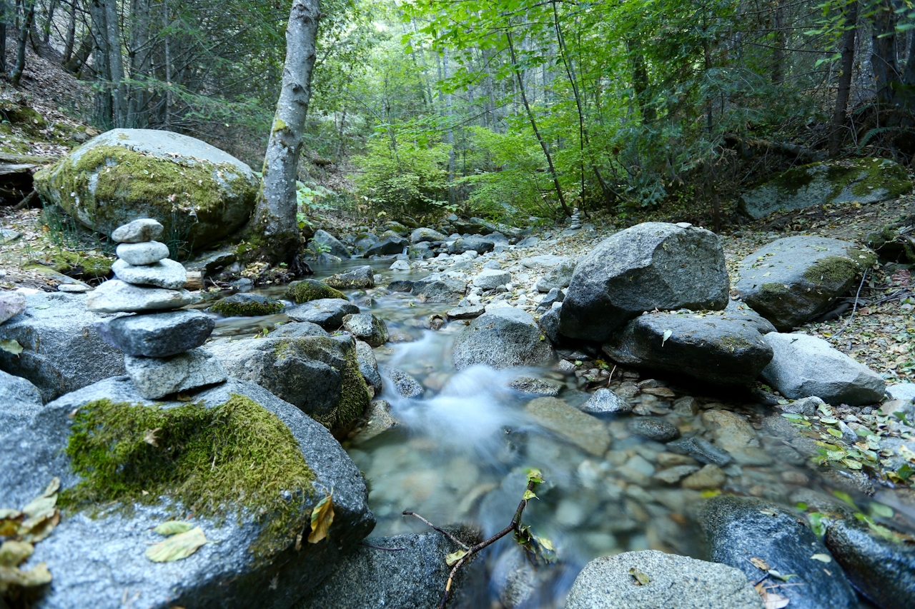
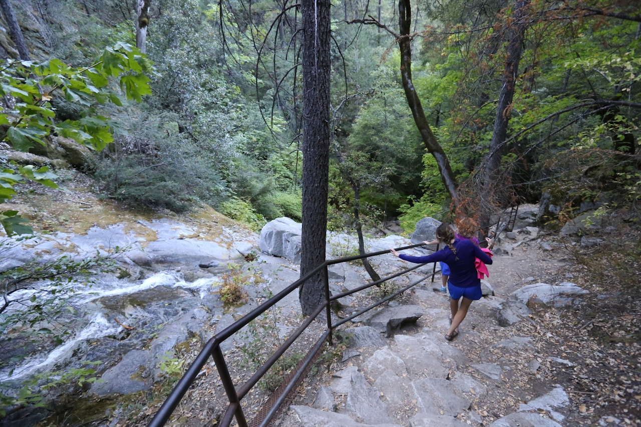
Start with a brief downhill before crossing over Crystal Creek on a footbridge. It’s a fairly steady ascent through a steep ravine as you move away from Crystal Creek and into the forest of Douglas firs, ponderosa pines, and incense cedars. The trail levels out at a picnic area with nice access to the creek, festooned in decorative rock piles. The trail parallels the creek again, with bigleaf maples splashing yellow and orange hues. Then the falls appear: while impressive at first, you don’t realize just how long these falls are until you climb the stairs to the left. As you go up and up, the falls continue coming down and down! A viewing platform is your end mark. But the mystique continues, because it’s not possible to see the start of the falls—they’re way too high up, and not accessible on the terrain. No matter. What you do see is absolutely waterfall!
From Redding, drive 16 miles west on Hwy. 299 to Crystal Creek Rd. There will be a sign for Whiskeytown Falls. Turn left here and drive 3.7 miles to the parking area. Whiskeytown Falls is in Whiskeytown National Recreation Area. Dog-friendly!

Trending Stories NorCal

View all Stories
  1. Barbary Coast Trail medallion hike in San Francisco

    Medallion Walk SF

    The Barbary Coast Trail is a 3.8-mile historical walk and treasure hunt through San Francisco. Be on the lookout for hubcap-sized bronze medallions placed on the city sidewalks with arrows pointing you in the right direction.

    View
  2. Greater by the Dozen

    This hike is anything but a dime a dozen. The all-new "Golden Gate Dozen Trail" links 12 National Park sites on a spectacular 13-mile journey across San Francisco's coastline.

    View
  3. Inn-spiration Point!

    For more than a century, people have been hiking or mountain biking to West Point Inn for good reason. Perched at 1,785 feet on the southern slope of Mount Tamalpais, the historic inn has sweeping views from the Marin Headlands to the San Francisco skyline.

    View
  4. A Thousand Steps to Paradise

    A picture is worth a thousand words, but is a gorgeous beach in Laguna worth a thousand steps? The answer is yes, though the question is moot, because it’s only 223 steep steps down to the 400-yard stretch of sand known as 1000 Steps Beach.

    View

Trending Stories SoCal

View all Stories
  1. Roaring Redwoods

    Tucked next to brilliant Henry Cowell Redwoods State Park in Santa Cruz, the folks at Roaring Camp Railroads had a bright idea: When the sun goes down, the rainbow lights come up. Sequoias at Night brings big magic to some of the tallest trees in the world.

    View
  2. There's Always To Moro!

    Looking for a rock-solid itinerary in Sequoia National Park? Pair the park's most famous viewpoint with one that's often overlooked.

    View
  3. Rancho Style

    Vicente Bluffs Reserve dazzles anytime, but during the golden hour it’s an absolute knockout. Majestic rocky bluffs, dreamy ocean views, and a picturesque lighthouse are just a few of the reasons.

    View
  4. Sponsored

    Take the Exit to the Best of the San Francisco Peninsula

    The San Francisco Peninsula is proof that some of Northern California’s greatest surprises are hiding just off Highway 101. All you have to do is take the exit.

    View