Worsham Wow Factor

Hiking Worsham Canyon in Puente Hills Los Angeles

Extreme makeovers aren’t just for homes or celebrities. Garbage dumps are finally getting their time to shine too! Hikers may find it surprising that much of the available natural space in Puente Hills is due to the existence of a 500-foot-high, 700-acre- wide landfill that’s in the process of a major transformation. The Habitat Preservation Authority is converting the space into walking trails, a bird observatory, a BMX track, even a gondola to a three-story café. Go on a 4.2-mile (round-trip) hike gaining over 1,000 feet in elevation for a first look at the park’s evolution, and to enjoy some brilliant panoramas. Begin at a marked gate and a sign for the Elderberry trail. After a gradual ascent on a fire road surrounded by a dazzling array of purple lupine blooms, keep to the right at the Workman trail junction.

As you slowly come down among grass meadows, enjoy endless southern views of Orange County and its city skyline, as well as Santa Monica to the west. Continue along the northern slopes of Worsham Canyon, currently dotted in bunches of blue-bells. Eventually you’ll come to a steep ascent for a grand finale filled with views of the secluded canyon itself. Keep left at the following two junctions and marvel at the San Gabriels to the north as you descend back to the Elderberry trailhead.
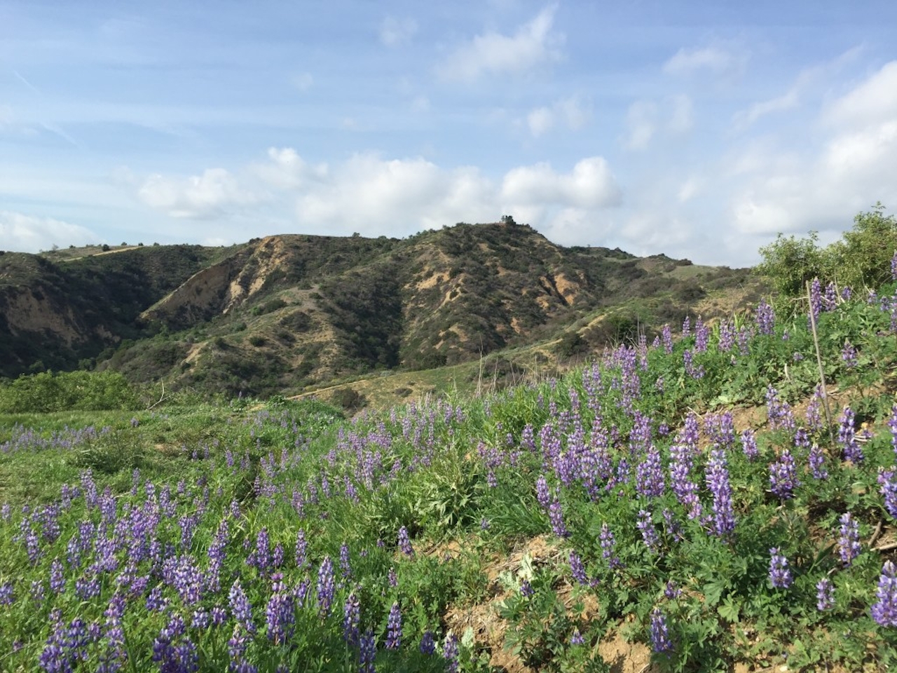
worshamcanyon2-image-jpeg

To get to the trailhead, take the 60-E to the 19-S (Rosemead Blvd). After just over 2 miles on the 19, take a left onto Beverly Blvd. Five miles from this turn (and after the road becomes Turnbull Canyon Rd.), the small dirt lot will be on your right. If the area is full, make a U-turn and take advantage of street parking once the permit-only signs disappear. Keep your eyes peeled for a white gate, otherwise the parking area may be easy to miss. Dog-friendly!

Trending Stories NorCal

View all Stories
  1. Woman with her arms outstretched to the rolling hills scenery while on a rock outcrop at Barnabe Peak in Samuel P Taylor Sate Park in Marin

    Barnabe Bonanza

    Sure, there are higher mountains in Marin (Mount Tam) and easier ascents (Mount Burdell), but is there a more expansive North Bay view? Barnabe Peak in Samuel P. Taylor State Park offers a glorious panorama including Mount Tam, Mount Diablo, and Mount St. Helena.

    View
  2. Hiker on the SCA trail in Marin Headlands with view of the Golden Gate Bridge

    Headlands Over Heels

    People come from all over the world to get a glimpse of the Golden Gate Bridge. Get a dramatic and novel view of the bridge without all the people on this moderate 6-mile hike in the Marin Headlands.

    View
  3. Barbary Coast Trail medallion hike in San Francisco

    Medallion Walk SF

    The Barbary Coast Trail is a 3.8-mile historical walk and treasure hunt through San Francisco. Be on the lookout for hubcap-sized bronze medallions placed on the city sidewalks with arrows pointing you in the right direction.

    View

Trending Stories SoCal

View all Stories
  1. Woman hiking the San Onofre Bluffs Loop Trail to San Onofre State Beach in San Diego County

    Bluffing Good!

    Lovely coastline, beautiful beaches, unique geological history, and picturesque sandstone cliffs with limited foot traffic in San Diego County? Head to San Onofre State Beach and the 5-mile San Onofre Bluffs Loop Trail.

    View
  2. Can We Get a Whoop Whoop!

    City, mountain, and ocean views all in one hike? Whoop whoop! It’s no surprise the the Kenter Fire Road and Whoop-de-Doos Trail (a combo of fire road and singletrack) is a favorite among local mountain bikers and hikers alike.

    View
  3. The Big Chill

    In LA, finding a place to chill can be the ultimate flex. So flex, in Franklin Canyon! This unexpected oasis has plenty of shade, cool lake breezes, and ample picnicking spots. Enjoy it on an easy-going 1-mile stroll along its reservoir and duck pond.

    View





