Bright Point of View
Point Reyes Lighthouse


Here's a way to brighten your day: Head to Point Reyes Lighthouse. Originally constructed in 1870 to help warn mariners of the navigational hazard that we now call Point Reyes, the lighthouse was handed over to the National Park Service after serving for 105 years.
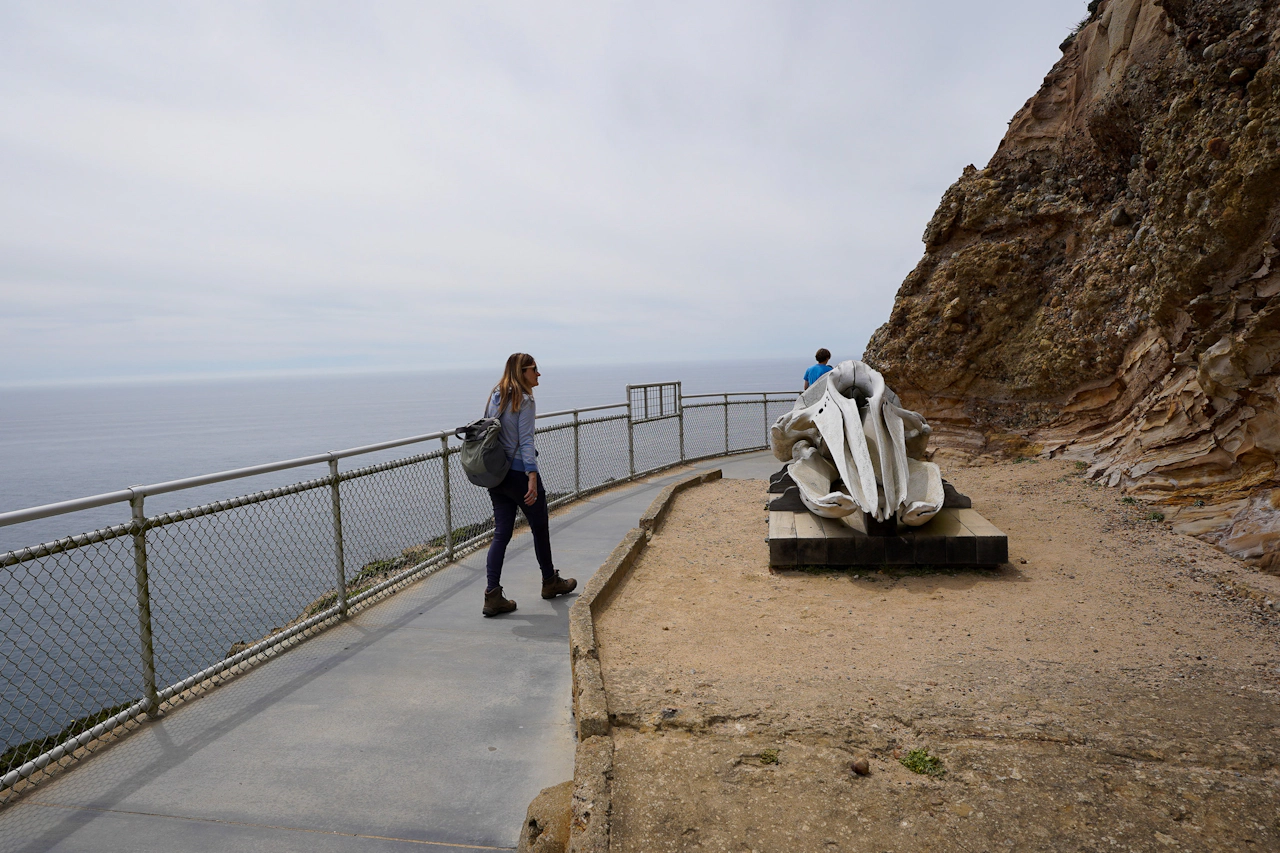
This historic site is no drive-by affair. It’s a short hike, just shy of 1.5 miles (round-trip) on a paved trail—including 313 "wicked hard" steps—to reach the lighthouse. And it’s worth it!
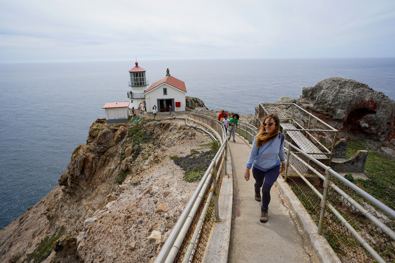
Park in the lot (often filled, so you may have to park along the side of the road and walk farther) and head up the road through a tunnel of cypress trees on one side and boulders on the other. Towards the end, make your way past the green building on your right and stop at the Lighthouse Visitor Center for exhibits on the lighthouse, whales, seals, sea lions, and birds.
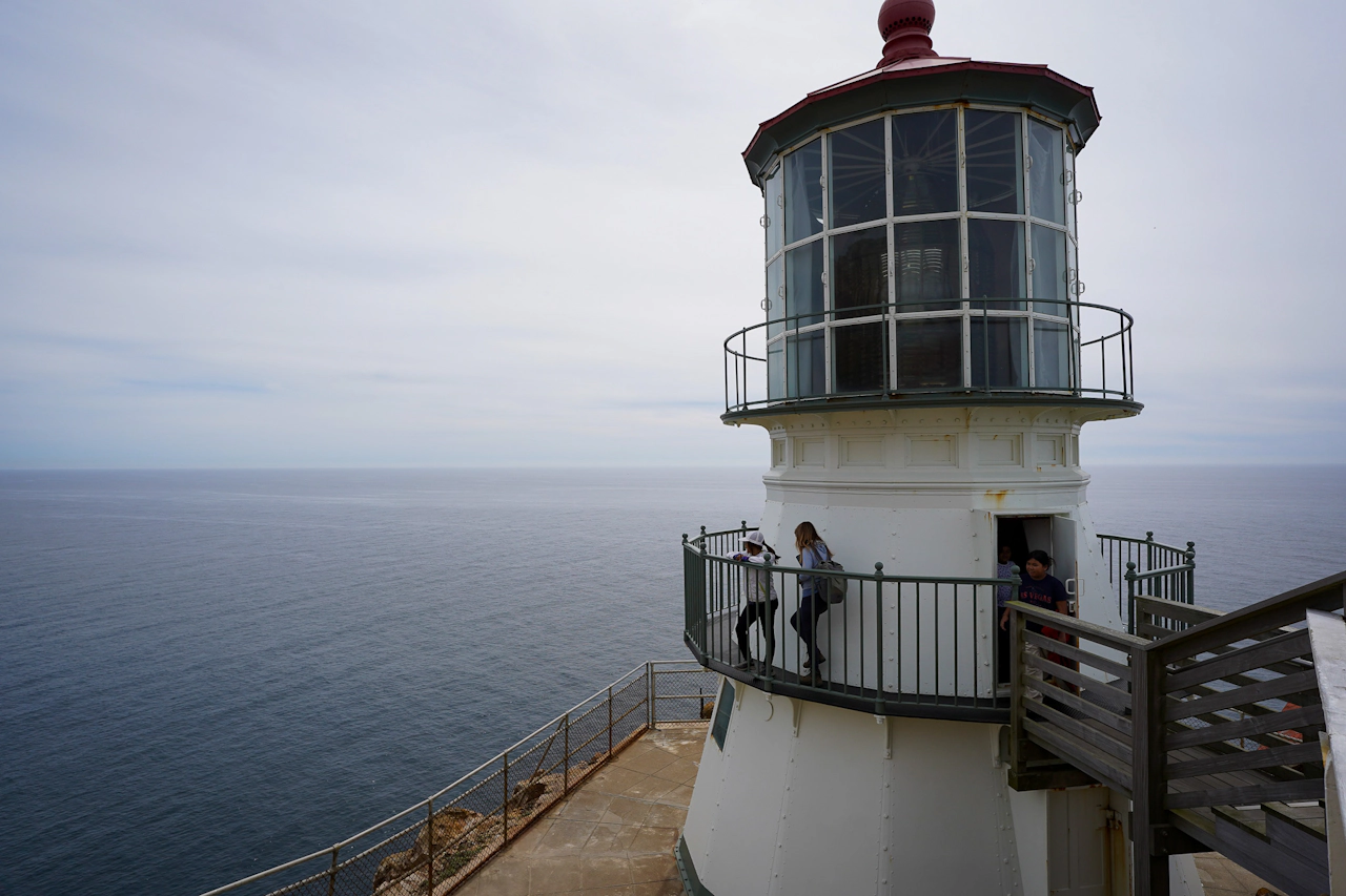
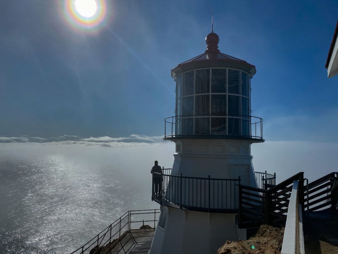
Then make your way to the top of the stairs to start your descent to the lighthouse, and make your way around its catwalk.
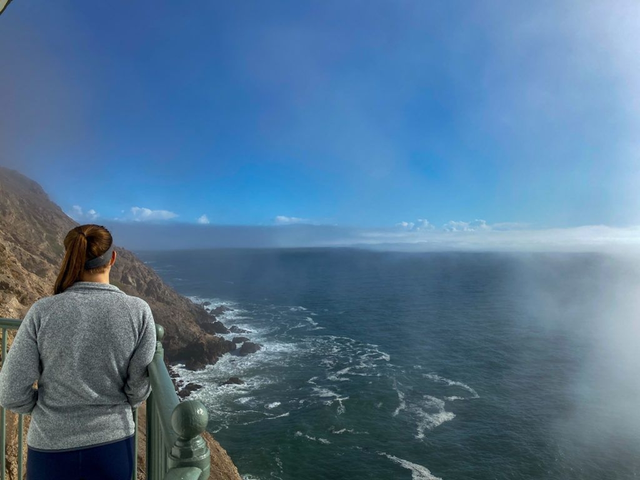
On clear winter days (which happens a fair bit in this area) the ocean and coastal views are simply breathtaking. Keep an eye out for whales in the rich waters below. Depending on staffing and weather conditions, you can also go inside the lighthouse to look at the Fresnel lens.
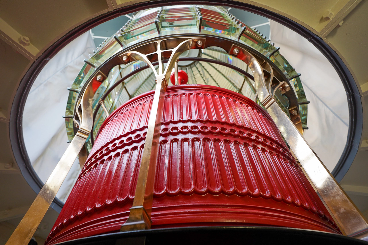
TIP: Check the weather conditions by calling the park to ensure that the lighthouse will not be socked in with fog: (415) 464-5100.
The lighthouse is at the end of Sir Francis Drake Blvd. and can be found by following the signs posted throughout the park. The stairs from the observation deck to the lighthouse are open Saturdays through Mondays, 10 a.m. - 4 p.m. High winds may close it. In very wet weather use caution on stairs. No dogs.
Photos by Brad Hyland, @bradhylandphotography; and Yvonne Pasquini, @yvonne_pasquini







