Eagle Eye Surprise
Snowshoe to Eagle Falls in Tahoe


Granite peaks, a view of Lake Tahoe, and a waterfall—get it all on a 2-mile (round-trip) winter hike to Tahoe’s Eagle Lake. In summer, this trail is busy, but in spring, you can get to the lake without the crowds. The snow is packed enough that you can make it to the lake in good hiking boots, but snowshoes and hiking poles are also good options for extra traction. From the trailhead you’ll reach Upper Eagle Falls just a quarter mile from the trailhead.
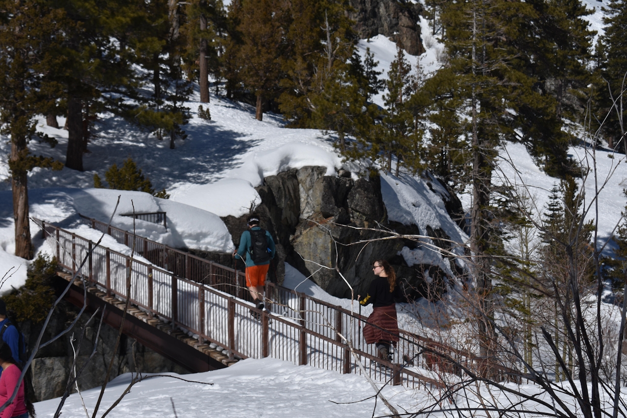
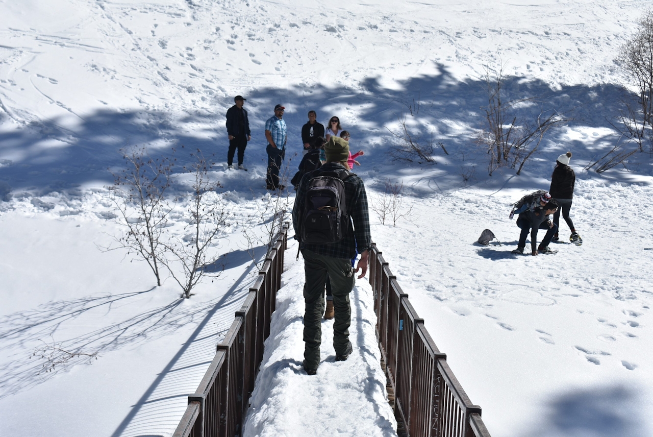
Even in the snow people make the trip to see the 50-foot falls cascading through snow-covered granite. This is a good turnaround point for those who just want to see the waterfall. Some people continue on to frozen Eagle Lake—just be mindful of conditions. Cross the footbridge above Upper Eagle Falls (the bridge is packed with feet of snow so the top of the rail only comes to your knees: cross carefully!).
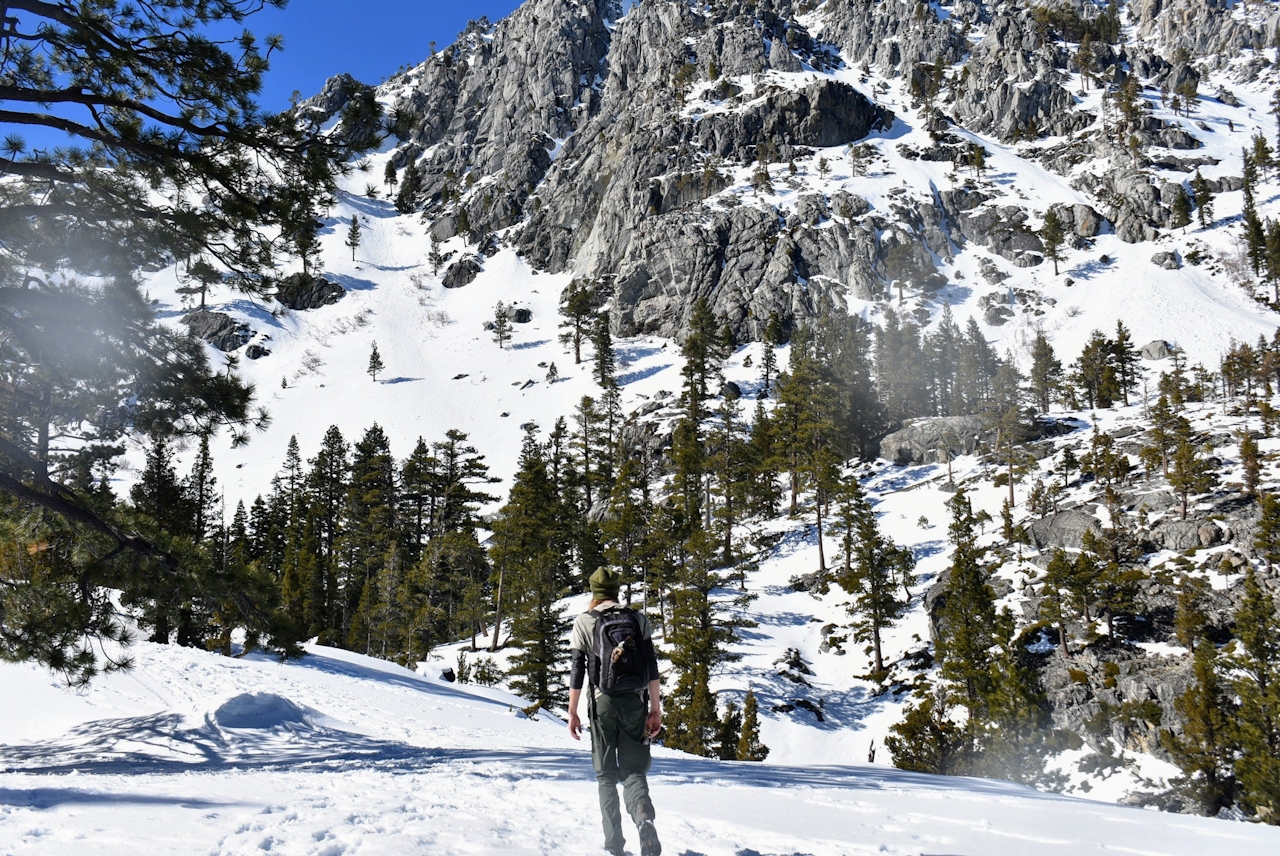
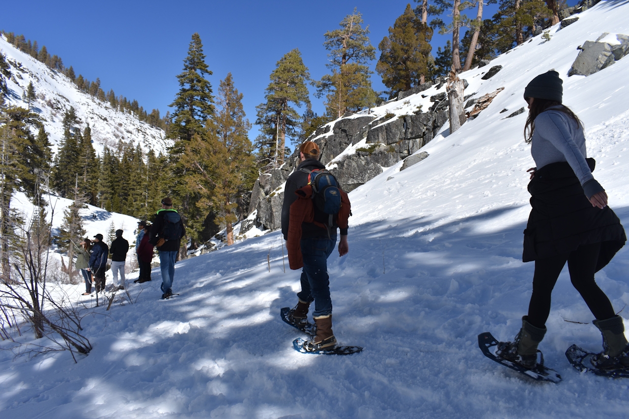
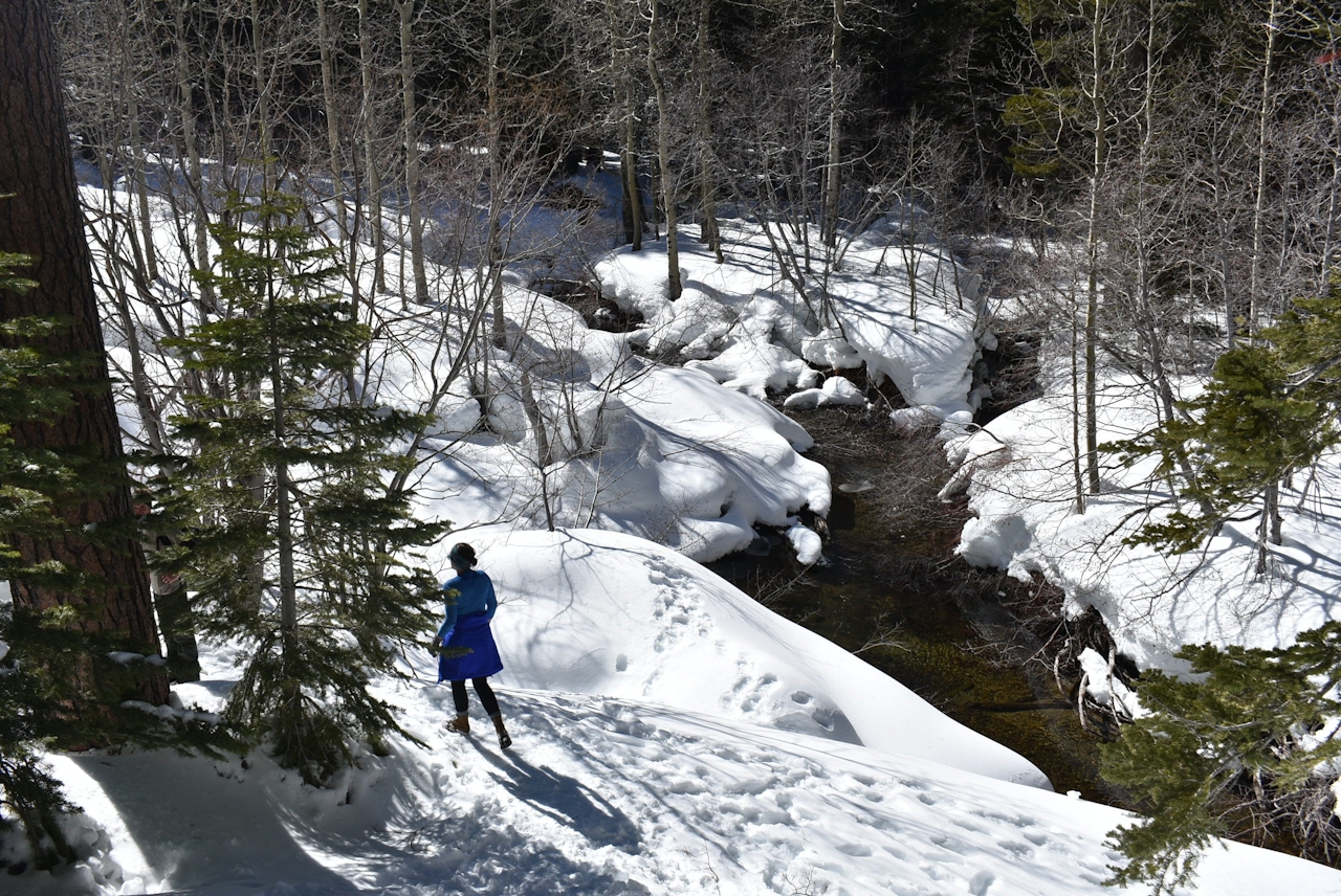
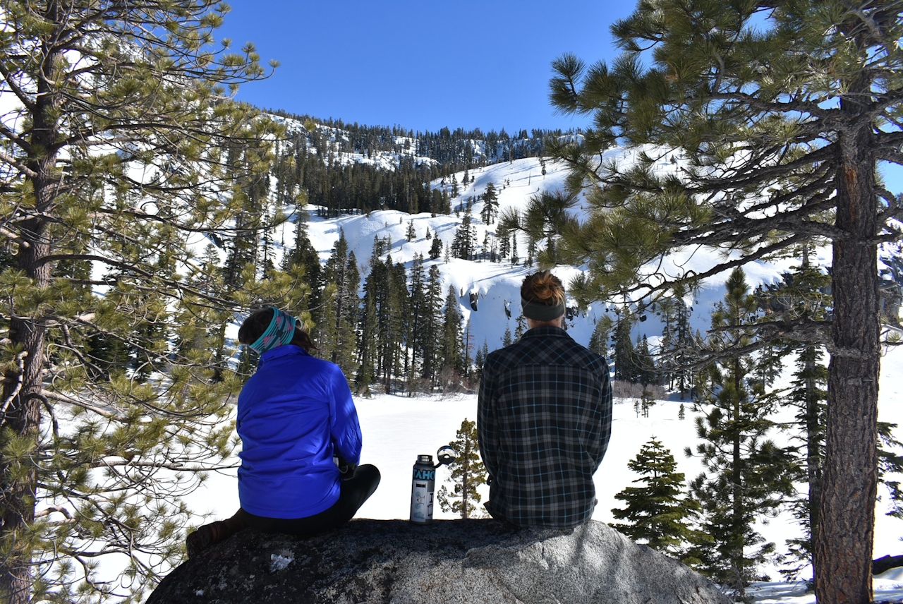
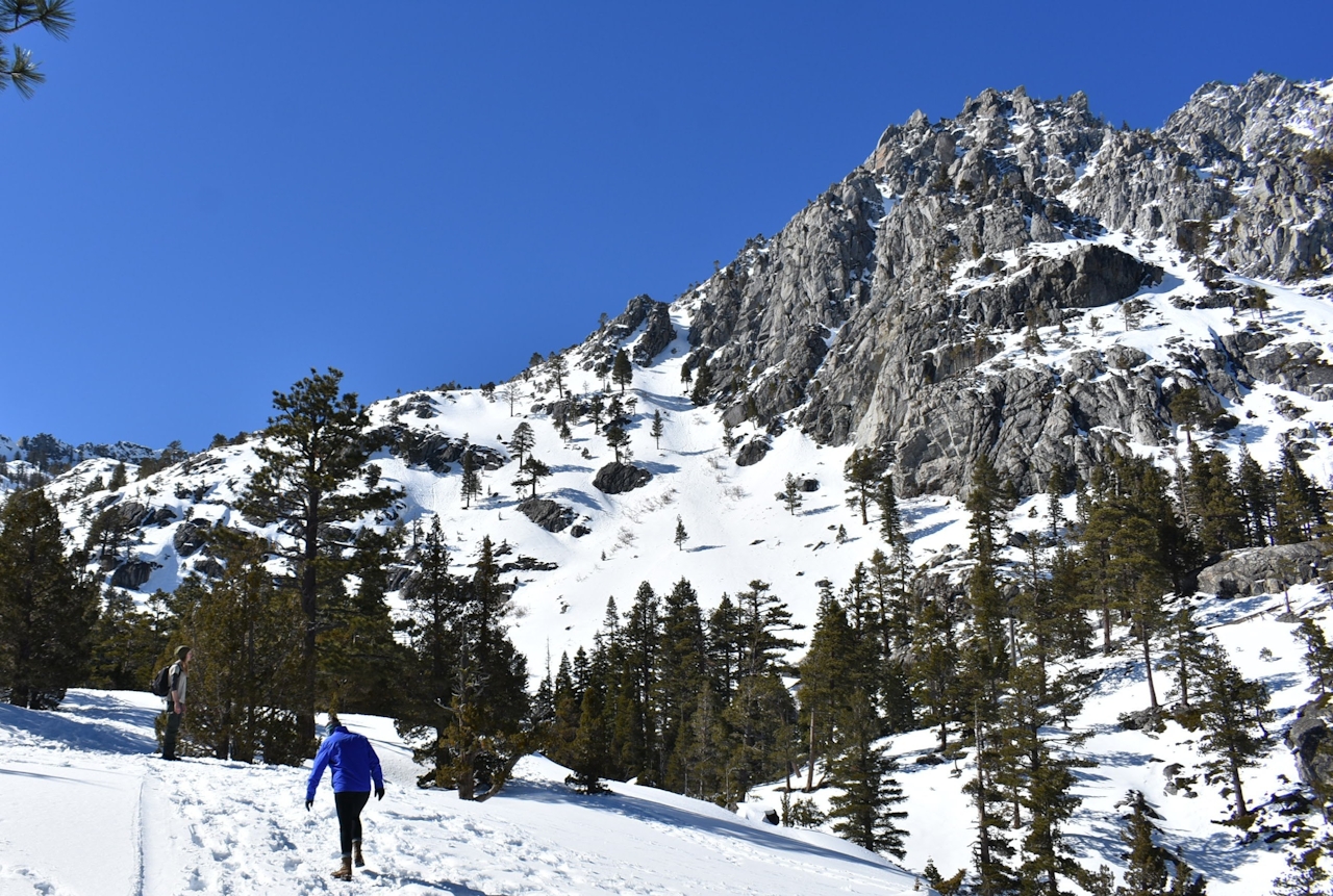
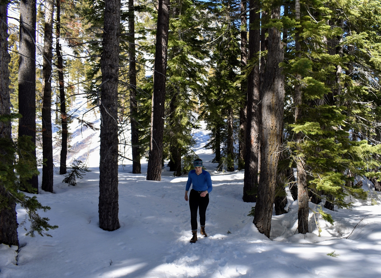

Once you cross the footbridge, follow the trail to the south (hiker’s left) away from the creek and start your climb up to the lake. After a steep climb, the trail veers back towards the creek, following it most of the way to the lake. Make sure to stop and take in the spectacular views of rocky peaks and Emerald Bay. The trail will follow the creek through the forest until you reach Eagle Lake tucked in a clearing below granite peaks. You won’t be able to pop in for a swim this time of year, but you can post up on one of the many rocky boulders around and soak up some sun and solitude before heading back. The steep stretches you had to hike on the way in make excellent spots for sledding on your way back down.
From South Lake Tahoe drive northwest on Hwy. 89 towards Emerald Bay, 9 miles from the Hwy. 50/Hwy. 89 junction. The trailhead is located on the left side of the road. There are free parking spots along the highway, just outside the trailhead. It’s best to arrive before 10 a.m. to snag a parking spot; however, most visitors this time of year don’t hike all the way to the lake and are just stopping to take their postcard-worthy shot of Emerald Bay, so spots open up quickly.







