Marshall Mellow
Wildflower Hike at Marshall Peak in San Bernardino National Forest
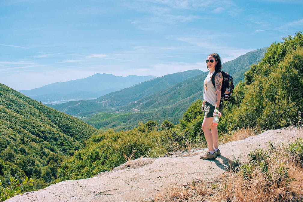
The 3-mile (round-trip) Marshall Peak Trail might not be the most epic in the San Bernardino National Forest, but this lightly used trail is beautiful in spring when the wildflowers come out. This hike isn’t really so much a trail in fact, but rather a stroll along a dirt road. Cars are able to use this road (and they do), so use caution and listen for the sound of approaching cars, especially around curves (the road is plenty wide enough to allow vehicles and other hikers to pass).


The trail gradually climbs 456 feet in elevation, but the grade is gentle enough to feel like a pleasant nature walk. Vibrant wildflowers like monkeyflower and mountain pennyroyal line the road, and panoramic views of the Inland Empire welcome you at every turn. It is worth noting, however, that there is very little shade on this hike and the air can get very dusty from the cars kicking up dirt—bring lots of water, and do this hike only in spring and when temperatures are cooler. Eventually the trail opens up into a crossroads with paths branching off in every direction.
Get Our Weekly Email
Find inspiration and ideas for outdoor adventures and travel in California and the West.


Looking forward from where the trail spits you out, the peak is around the 1:00-2:00 position. The trail gets considerably steeper at this point, and the road is covered in deep ruts, so if the trail you chose doesn’t fit this description, turn back and try a different one! Thankfully, this stretch of trail is very short, maybe a couple hundred feet at most.


If you were wondering where all the cars that passed you on the road were going, you’ll get your answer when you reach the summit: Marshall Peak is used as a launch site for hang gliders and paragliders! On any weekend day you’ll likely see several of them prepping to launch, or already up in the air. The summit is huge, so it’s easy to find a place out of the way. Sit, relax, enjoy the view, and watch them soar through the sky!

IMPORTANT: Check temperatures before hiking these or any trails. Excessive heat makes hiking very dangerous and both people and their dogs should not be hiking on hot days.
From the CA-210, take the exit for the CA-18/Waterman Ave. and head north for approximately 11 miles (you’ll actually pass the trailhead, but it’s on the opposite side of the road and inaccessible when heading northbound). You’ll see a left-hand turn lane appear (up until this point the highway is single lane and has a barrier down the center)—use that lane to make a u-turn when it is safe to do so. Head back down the CA-18 for approximately 2 miles. You’ll see a wide dirt lot on the right-hand side that has a dirt road leading away from it. Park in the lot and head up the dirt road on foot—this is the trail! Adventure Pass required. Dog-friendly!
Story and photos by Natalie Bates, @thefreeboheme
