Norco Powered
Do a short and scenic hike to the top of Norco Mountain in Riverside County


Solitude and a possible sunset viewing can be hard to come by in bustling Southern California. But you can find it at the Norco Mountain via Powerline Road trail. The 2.5-mile out-and-back trail in Norco climbs 643 feet to the summit of Norco Mountain—a small peak overlooking the Inland Empire. True to its name, the trail is almost constantly in the presence of powerlines, but other than that aspect it is a pleasant trail with beautiful views of the surrounding hills and mountains in every direction you look.
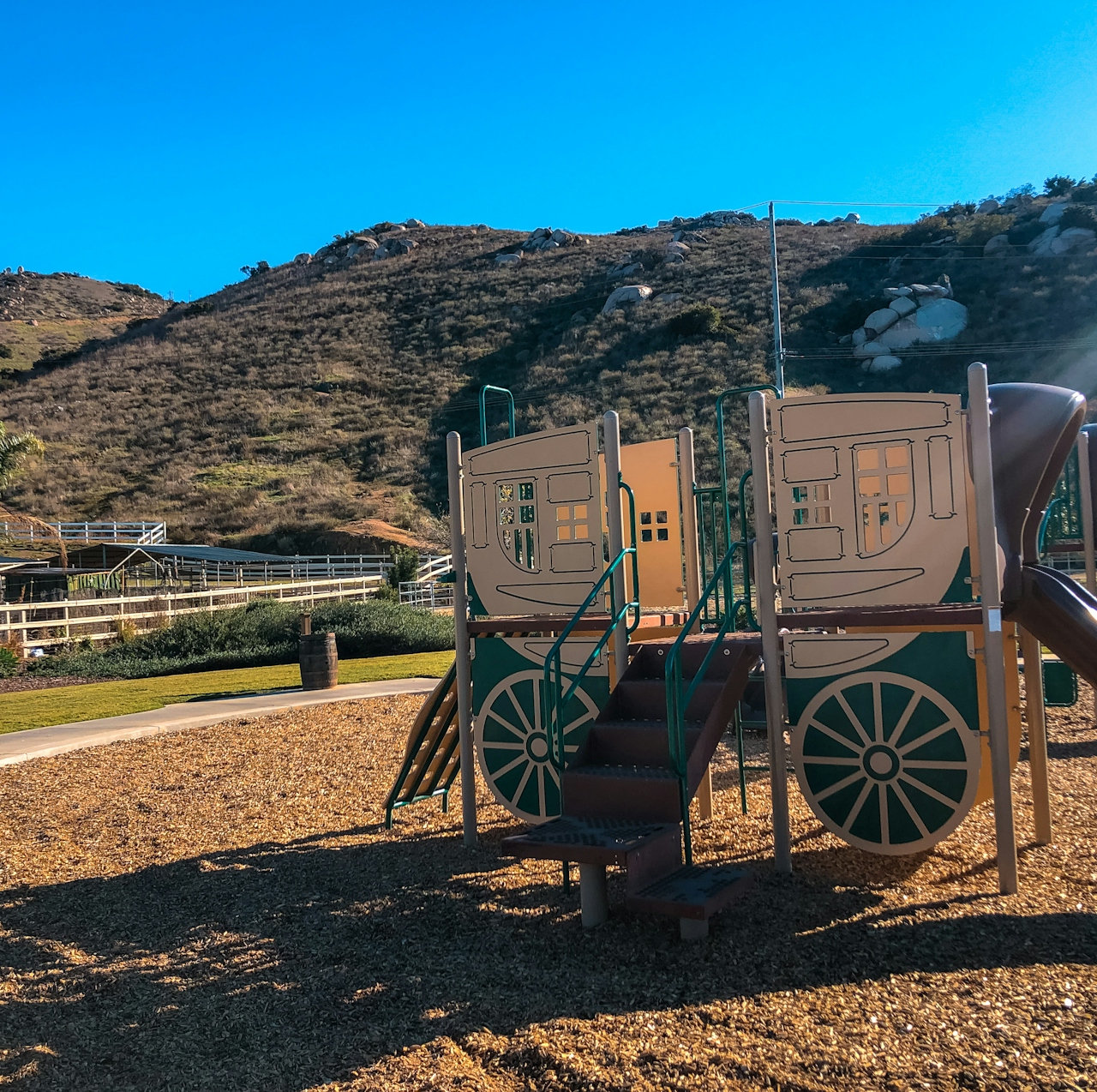
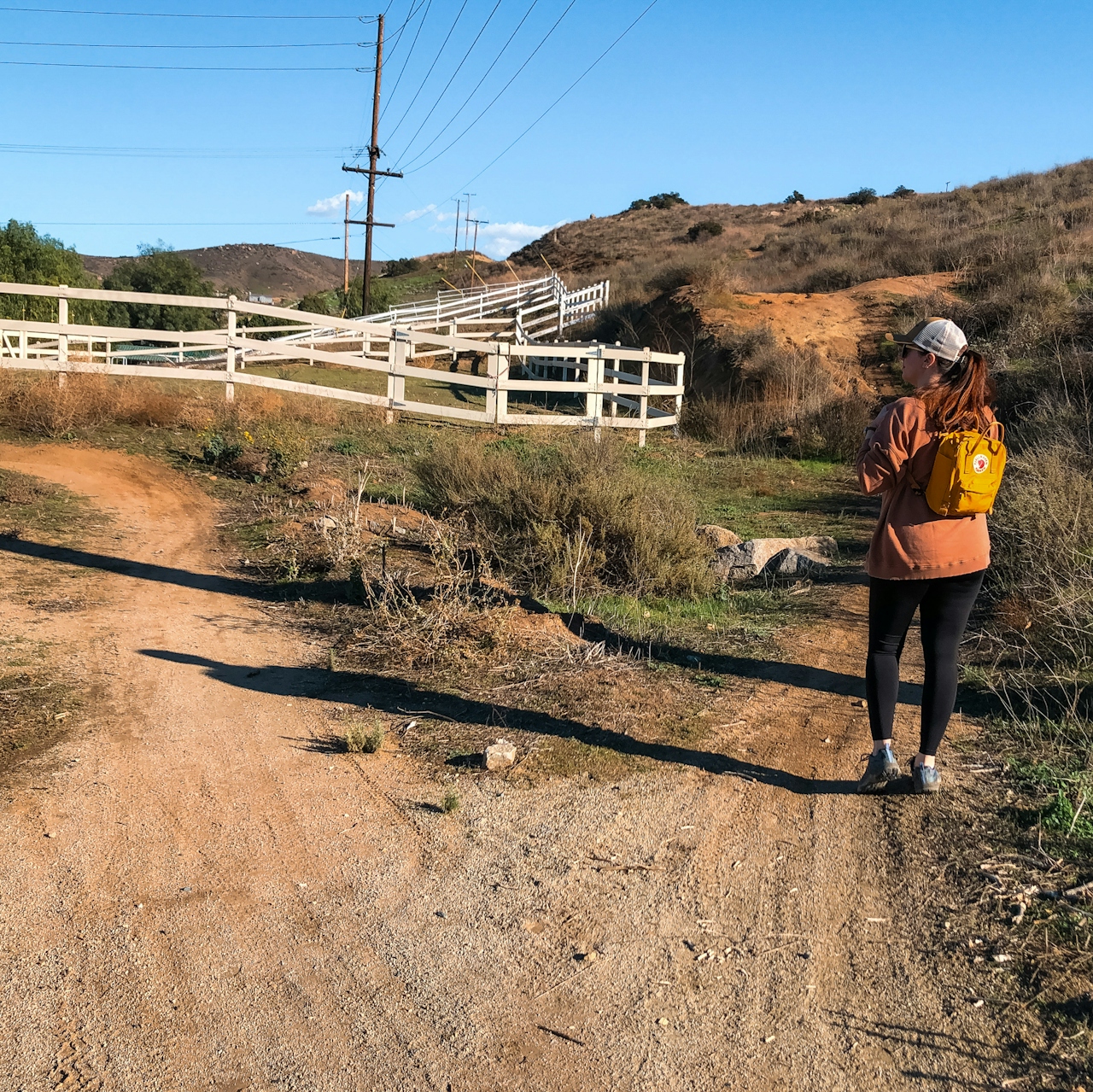
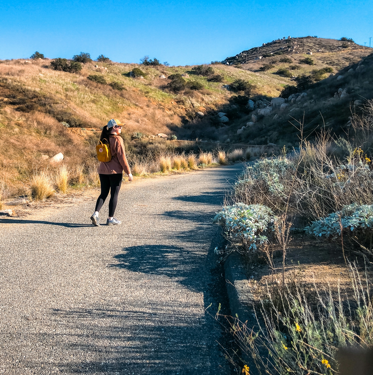
The trail begins in a small park at the end of a cul-de-sac. At the back of the park behind the horse corral you’ll see a dirt path, which quickly leads you to Powerline Road (NOTE: Be sure to follow this route to avoid crossing into private property). It’s a steady uphill from the trailhead to the summit but the grade of the trail keeps it from feeling too challenging, likely because it’s an actual road used by the power company; this also means that the trail is wide and very easy to follow. If you take the road until it ends, you’ll reach a fence with a “No Trespassing” sign posted on it. However, a little before the end you’ll see a spur trail on your right.
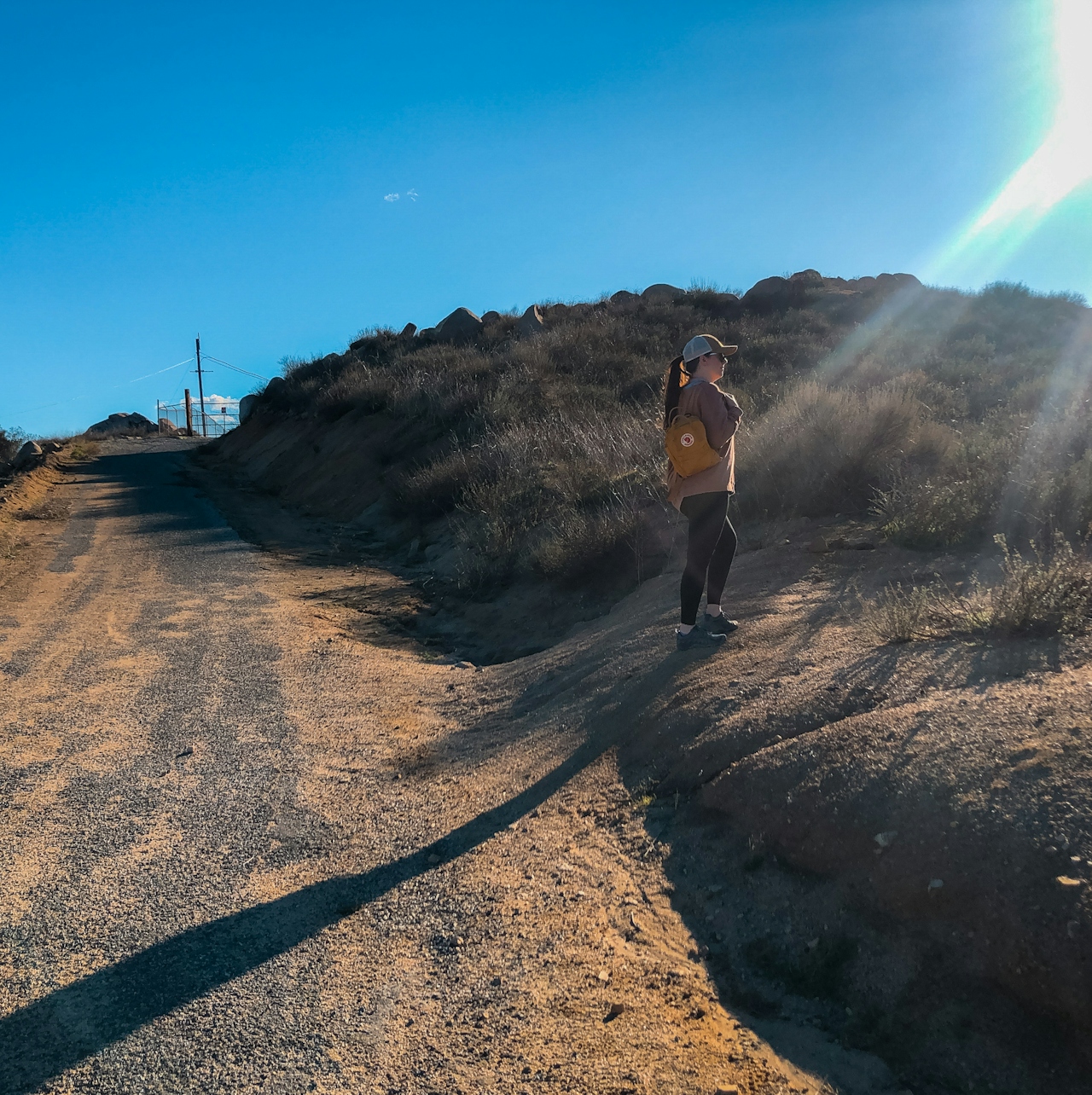
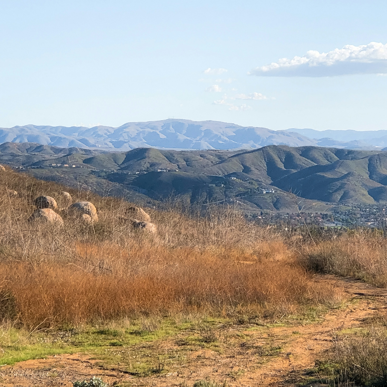
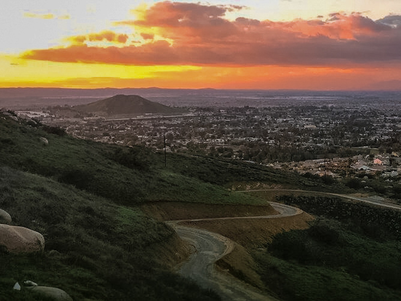
That spur will allow you to summit the little mountain without going into the restricted area. Once you reach that point there are plenty of places to sit and enjoy the view as the sun dips below the horizon, filling the sky with vibrant hues of pink, orange, and purple. The San Bernardino and San Gabriel Mountains can be seen off in the distance while the lights of the Inland Empire begin to fill the night sky. Make your way back down the same way.
{January 2024 Note: Due to recent rains, be sure to check trail conditions before embarking on this hike.}The Norco Mountain via Powerline Road trail begins behind Ridge Ranch Park in Norco, at the end of a residential cul-de-sac. GPS might send you straight to Powerline Road, which is private property. Look for the park instead and enter the trail on foot via the bypass trail described above to avoid trespassing. Street parking only; be sure to obey all posted parking signs and be respectful of the residents. Location. Bring a headlamp or flashlight if you plan to watch some of the sunset from here. Dog-friendly!
Story and photos by Natalie Bates, @wanderwithnatalie







