Bald Is Beautiful
Hike Bald Hill in Marin


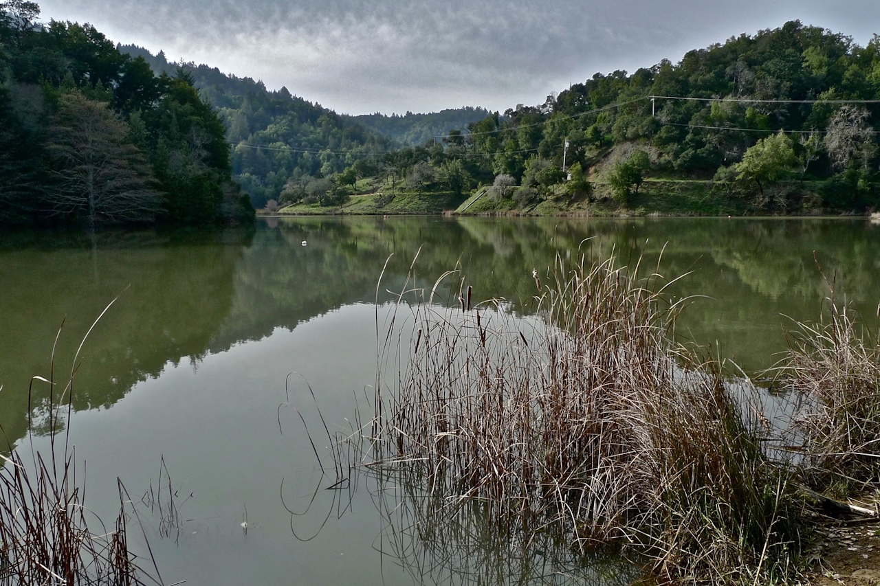
Just when you think you've seen Mount Tam's best stuff—here comes another Tamtastic summit hike. The north side of Tam is home to five sparkling lakes, all of which have lovely hiking trails. But trails from Phoenix Lake rise … to a brilliant vista known as Bald Hill. And this hill is pretty high up! The lake is the signature starting point for a 5.5-mile loop hike leading to the 1,141-foot summit. From the parking lot, a quick 0.25-mile jaunt leads to Phoenix Lake, a shimmering, sublime reminder of how valuable our water resources are in California. Osprey like to hang out here, and if you're lucky you might spy one.
Keep going a few hundred feet and take a right on the unsigned Worn Springs Fire Road, which winds up and up. To the west the evergreen hills of the watershed roll; to the east Marin homes sprawl to the bay. The trail gets steep before you round out to a series of open, golden hills resembling camel humps. Bald Hill's spacious plateau is currently marked by a cairn, which looks tiny in comparison to the view surrounding it. Mount Tam's east peak lords above, looking close enough to touch, while Mount Diablo looms impressively in the distance.

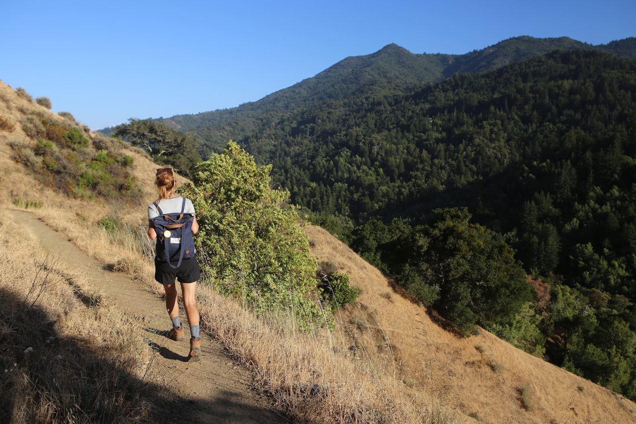
San Quentin Prison sits below by the bay, keeping things real as wine country spreaads out to the north. You'll loop back down on the Yolanda Trail, a singletrack sensation winding along the side of Tam's verdant valley and decorated in late lingering wildflowers like orange sticky monkey. It's quite possible you'll see nobody else on this trail, lending to a peaceful and beautiful walk. This is as good as it gets. That's a Bald statement.
To reach the trailhead: exit Sir Francis Drake Blvd. from Hwy. 101. Go west 2.6 miles to Ross and turn left on Lagunitas Rd. Follow this to the end and park (map). There is very limited parking, so arrive early, or in the late afternoon, to increase your chance of a getting a parkting spot. Here's a PDF map of the area. Dog-friendly!







