Maisie Peak & The Seven
Hike Maisie Peak and Seven Springs Loop in Fremont Older Open Space Preserve


Bag a peak, see some wildflowers—it’s the best of both worlds on this 5-mile loop at Fremont Older Open Space Preserve. You’ll stand atop Maisie’s Peak and enjoy a walk through the Seven Springs Loop.
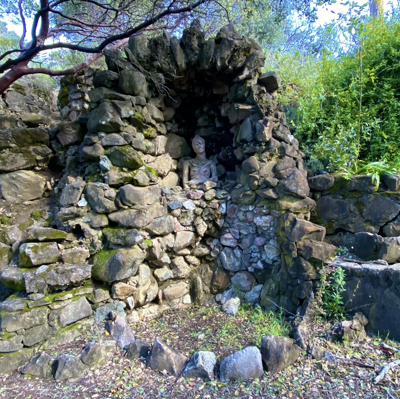
From the Prospect Parking Area, head west along Prospect Road to catch a glimpse of the Historic House of Fremont Older, a progressive newspaper editor who owned 200 acres where the park now sits. (Tours are offered every spring to see the unique architecture.)
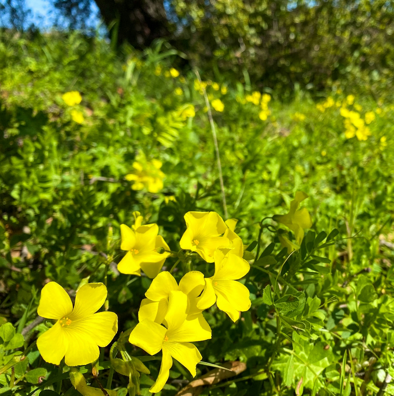
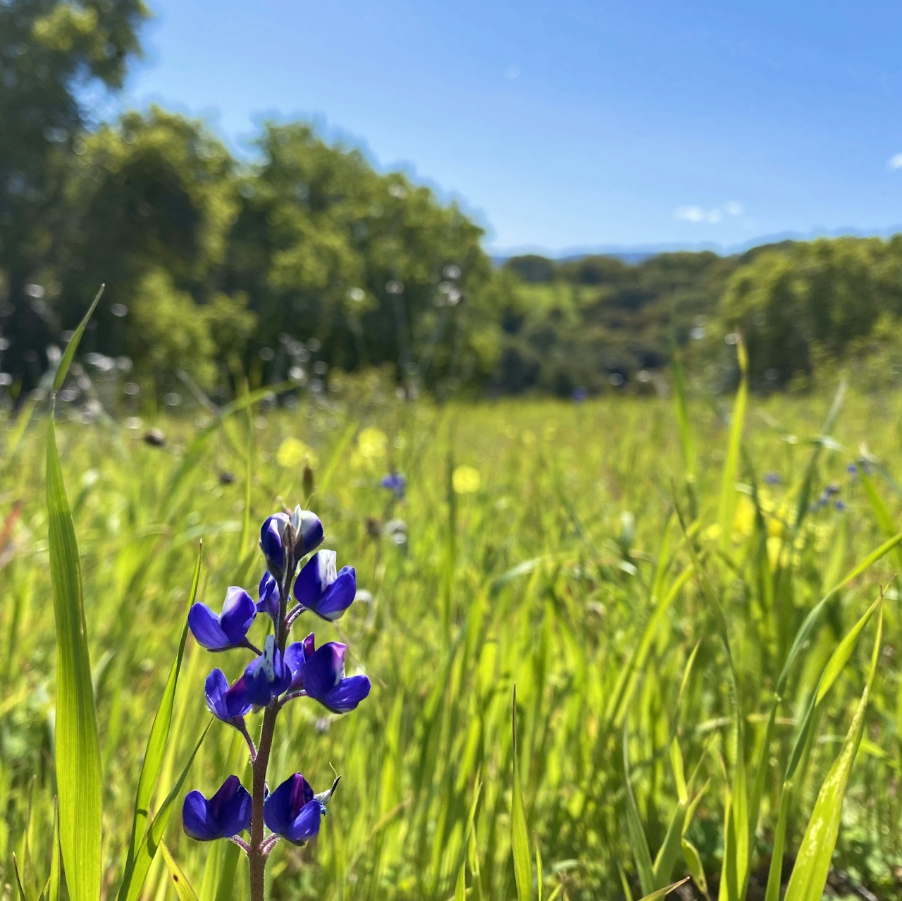
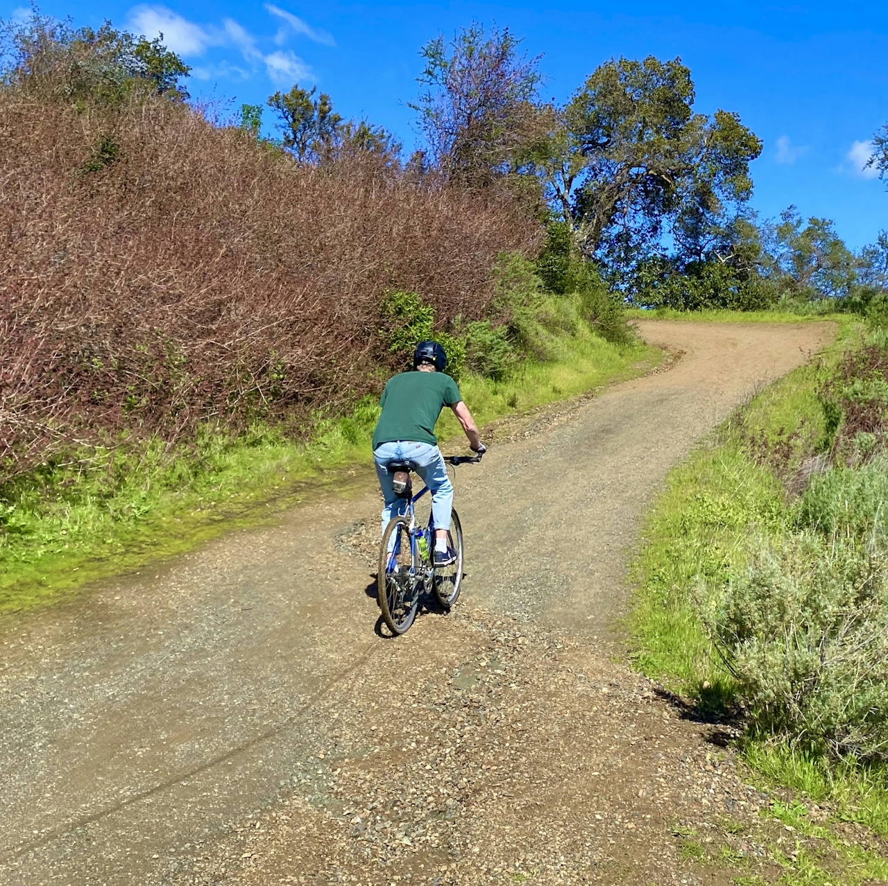
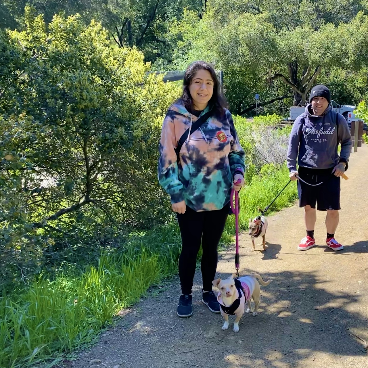
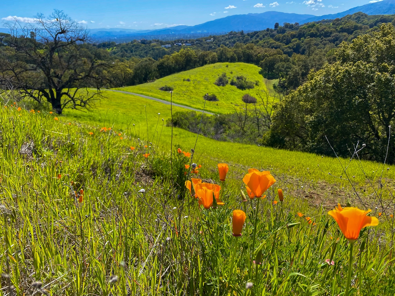
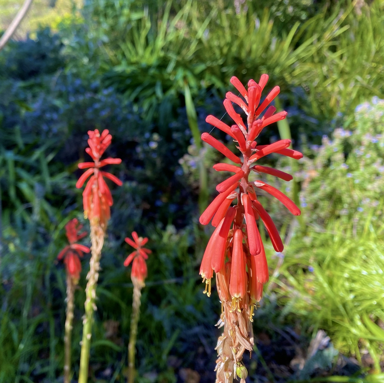
Continue onto Cora Older Trail, then left onto the Seven Springs Loop, where hikers can enjoy the brilliant green of our springtime hills. At the intersection, keep left onto Hayfield Trail. Bright pops of color line this route, from orange California poppies to the violet of lupine.
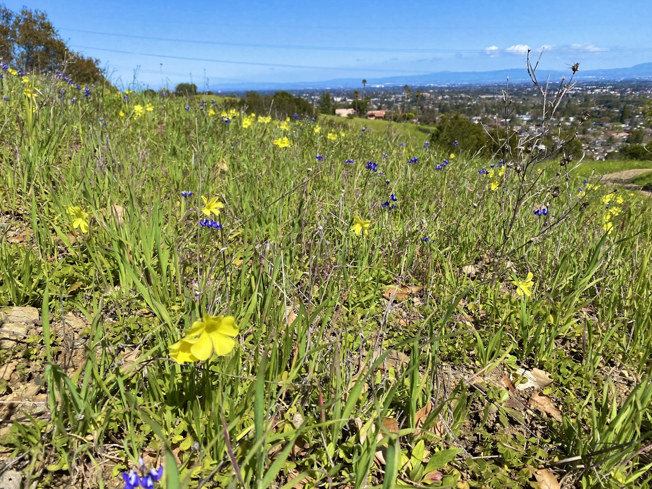
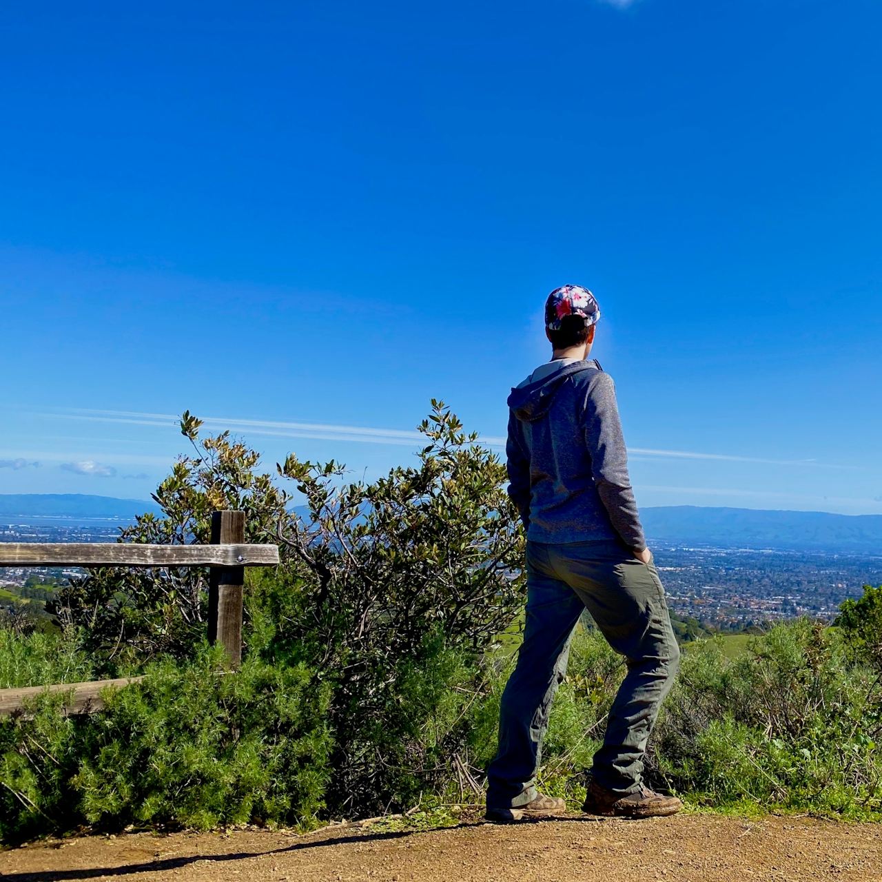
Turn left onto Coyote Ridge Trail for a moderately steep ascent. Follow signs for Maisie’s Peak: at 1,180 feet, this peak is the high point of the park. Views span from familiar tech landmarks like the Apple “spaceship” to the natural beauty of the Diablo Mountain Range.
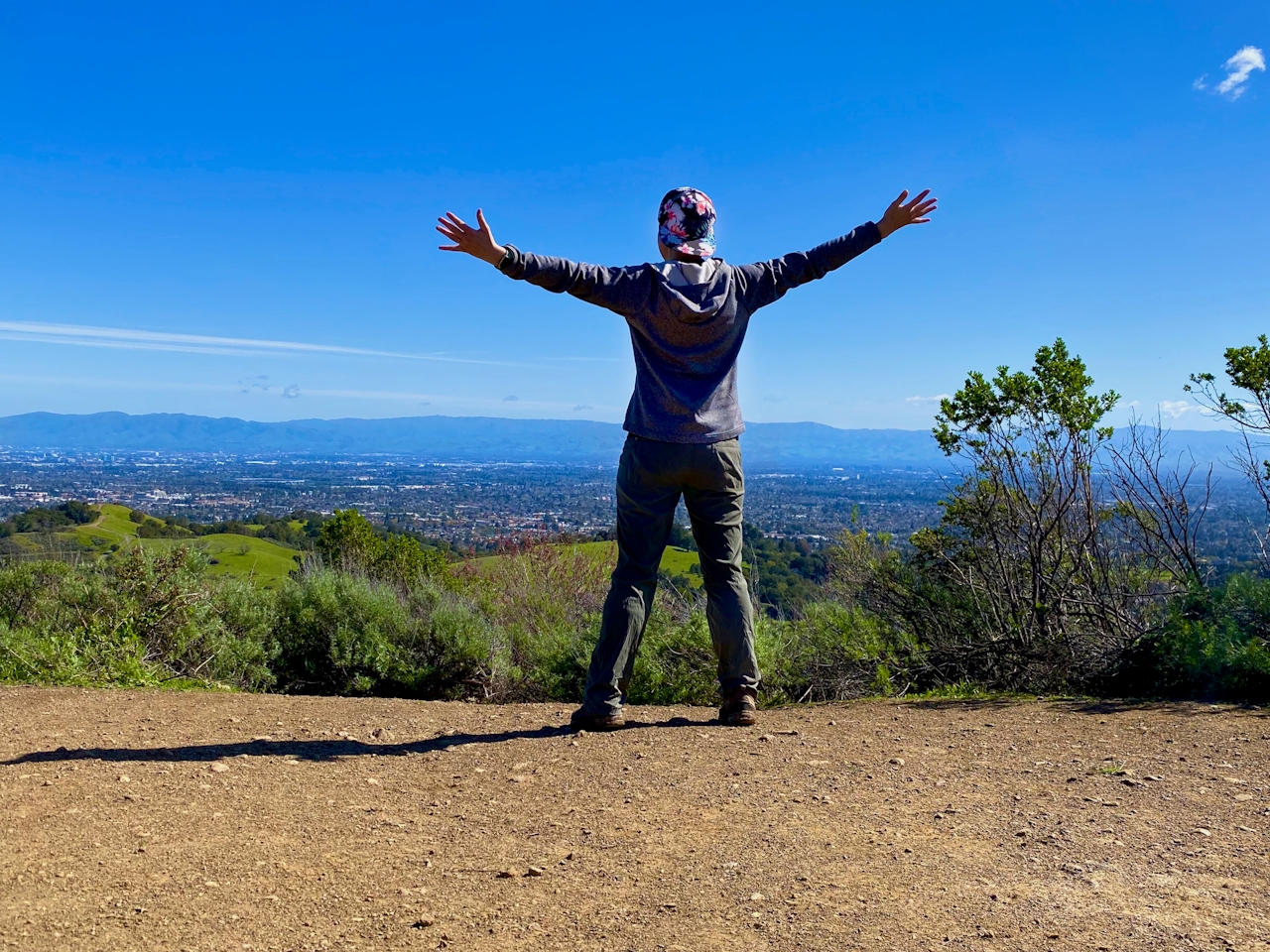
Snap a summit selfie! Then get ready for more floral fabulousness! Retrace your steps down Coyote Ridge and Hayfield Trails; stay on Hayfield until the intersection with Ranch Road and continue onto the Seven Springs Loop. Here, the views of Santa Clara Valley are utterly spectacular, and photography buffs will enjoy the multicolored fields of delicate wildflowers, including buttercups, hound’s tongue, and clematis.
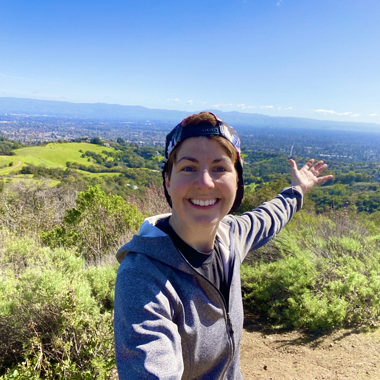
Soak it up, snap more pics, then bear left onto Cora Older Trail to return to the parking lot.
The Prospect Parking Area is located at 22500 Prospect Rd., Saratoga. From CA-85, exit onto De Anza Blvd. south, then turn right onto Prospect Rd. After 1.8 miles, turn left into the lot. Cyclists and equestrians permitted on most trails. Dog-friendly!
Story and photos by Heather Werner, @heath.er.wer.ner







