Sand to Snow
Hike the Sand to Snow National Monument

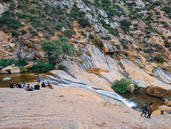
The Sand to Snow National Monument, comprising 154,000 acres connecting Joshua Tree National Park and the San Bernardino National Forest, is the closest to Los Angeles among Obama’s designated monuments. Its centerpiece is the 11,500-foot peak of Mount San Gorgonio (the highest in all of SoCal), but a hidden gem exists in the area’s 2,850-acre Whitewater Preserve. The preserve has a myriad of trails, including the beautiful 3.75-mile Canyon View Loop Trail, which incorporates a section of the PCT. The hike begins at the ranger station and campground, near ample signs, a trout pond, and a telescope that may reward with close-ups of the elusive bighorn sheep, residents of the towering fanglomerate cliffs to the east. The cliffs are also currently home to two nesting peregrine falcons. After crossing the trickling Whitewater River, follow signs for the PCT trail south (or if you're up for a 3-mile round-trip detour, head north to the Red Dome, a unique basalt rock rich in iron). Continue on the PCT south, gaining nearly 1,000 feet in elevation and bringing incredible views of the canyon and surrounding San Gorgonio and San Jacinto mountain ranges. As you begin your descent, keep an eye out for spring blooms, including Indian paintbrush, yellow desert poppy, purple phacelia, and white cryptantha. The trail merges with the road for a short distance before signs direct you to a sandy path hugged by willows and leading back to the parking lot. Sand to Snow puts on a good spring show!
To get to the ranger station and parking lot, take I-10 east from LA/San Bernardino and exit at Whitewater. Make a left on Tipton Rd., followed by a left on Whitewater Canyon Rd., which dead-ends at the lot after a few miles. Dog-friendly!


