Misty on Mount Tam

Hike the Steep Ravine and Dipsea Trail Loop on Mount Tam

Woman hiker is climbing up the ladder in the Steep Ravine section of the Dipsea Loop Trail on Mount Tam

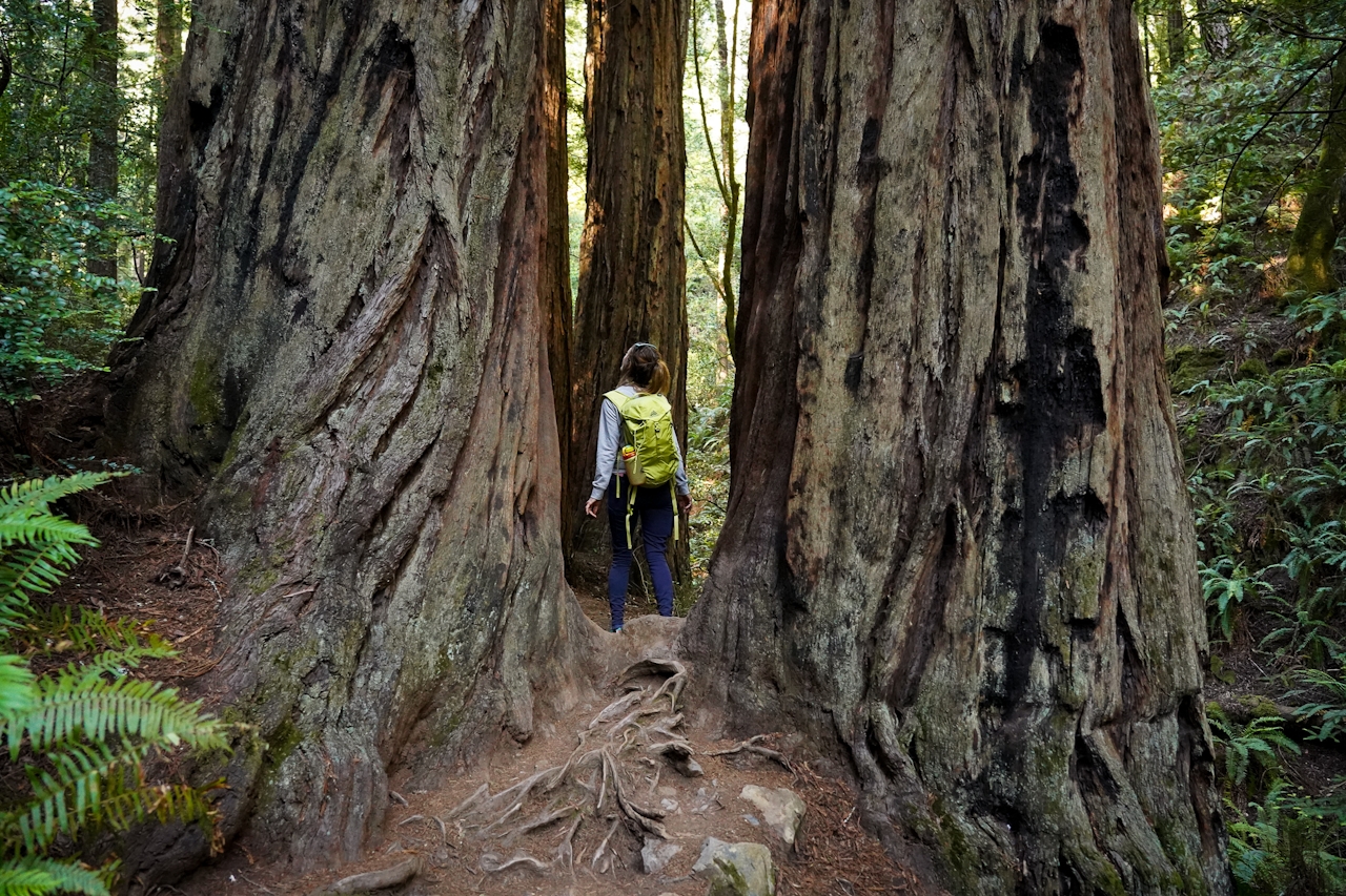
Mount Tam’s 3.9-mile (round-trip) Dipsea Trail Loop weathers the wets and wilds with some confidence, sheltered in parts by redwoods, and wowing with a waterfall. Starting at Mount Tam’s Pantoll Ranger Station, immediately descend into Steep Ravine where a redwood forest offers shelter from precipitation. The trail parallels swiftly flowing Webb Creek.
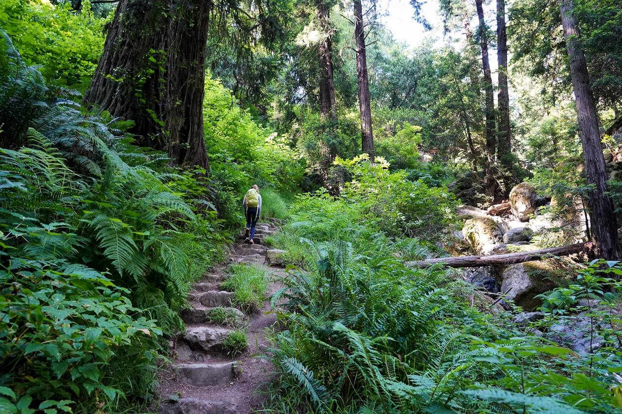
After a mile, you’ll reach the famous wooden ladder: take your time, there’s no rush worth a slip! Once you’re down follow the trail as the creek rushes and tumbles into an impressive waterfall. Crisscross the water via a series of wooden bridges, watch your step passing over large stones, and enjoy the lush green vegetation and ferns festooning the path. Make a left onto the Dipsea Trail and begin ascending out of the canyon.
After a few minutes of heart-pumping climbing, emerge from the canyon onto an expansive open meadow (On clear days there are spectacular views of the Pacific, Marin Headlands and San Francisco.) Turn left onto the Coastal Fire Road and make an immediate right onto the Old Mine Trail leading back to the parking lot. 

Check road and trail conditions before going after recent rain. Parts of this trail can be slick and slippery, so wear good shoes and avoid days that are ceaseless downpours. Begin the loop at the Pantoll Ranger Station parking lot off Panoramic Hwy. (map), where you can also pick up a trail map. It’s $8 to park. Start on the Steep Ravine Trail. After 1.7 miles, turn left on the Dipsea Trail. In 1.6 miles, turn left on the Coastal Fire Road, then a quick right onto the Old Mine Trail, which takes you back to the trailhead. No dogs.

Trending Stories NorCal

View all Stories
  1. Sponsored

    Reno Mountain High

    Take your vacation to new heights with some of the season’s most original events, and plenty of outdoors to explore. Fall for it all in Reno Tahoe.

    View
  2. Walk on the Wise Side

    A wise man once said, “Walk it off.” And San Francisco has just the place for a colorful walk via a 2.7-mile loop along Philosopher’s Way Trail in the 318-acre John McLaren Park (S

    View
  3. Hiker on the SCA trail in Marin Headlands with view of the Golden Gate Bridge

    Headlands Over Heels

    People come from all over the world to get a glimpse of the Golden Gate Bridge. Get a dramatic and novel view of the bridge without all the people on this moderate 6-mile hike in the Marin Headlands.

    View
  4. Greater by the Dozen

    This hike is anything but a dime a dozen. The all-new "Golden Gate Dozen Trail" links 12 National Park sites on a spectacular 13-mile journey across San Francisco's coastline.

    View

Trending Stories SoCal

View all Stories
  1. Can We Get a Whoop Whoop!

    City, mountain, and ocean views all in one hike? Whoop whoop! It’s no surprise the the Kenter Fire Road and Whoop-de-Doos Trail (a combo of fire road and singletrack) is a favorite among local mountain bikers and hikers alike.

    View
  2. The Big Chill

    In LA, finding a place to chill can be the ultimate flex. So flex, in Franklin Canyon! This unexpected oasis has plenty of shade, cool lake breezes, and ample picnicking spots. Enjoy it on an easy-going 1-mile stroll along its reservoir and duck pond.

    View
  3. Holcomb We Haven't Camped Here?

    Holcomb Valley Campground in the San Bernardino National Forest has 19 pine-shaded sites, all of them first-come, first-served.

    View
  4. Waterfall Hunter

    If you ask a local in Reno about one of the best hiking trails in town, odds are high they’ll point you to Hunter Creek Falls. It’s a year-round favorite, but it absolutely shines in spring, when desert peach wildflowers make a splash—and so does the marquee waterfall.

    View





