Up Umunhum

Hike to the Summit of Mount Umunhum in the South Bay

Hiker taking in the mountain view from the summit of Mount Umunhum

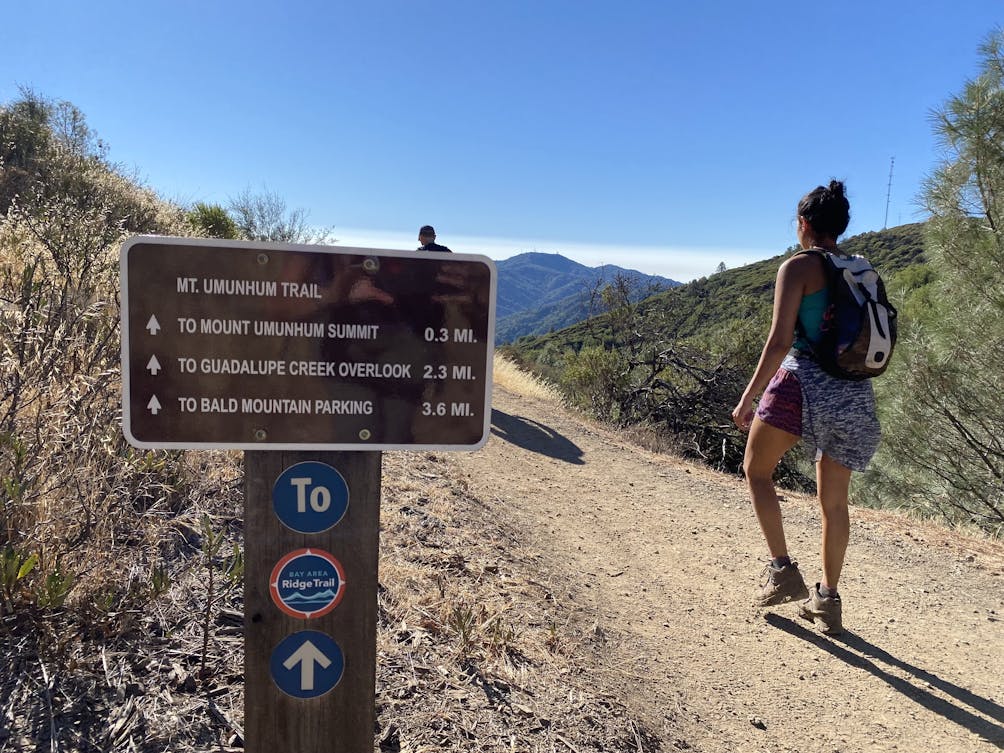
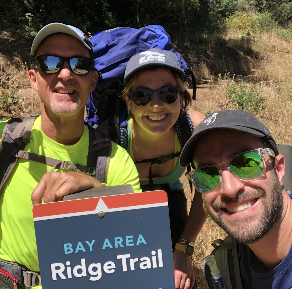
Rising from the Santa Cruz Mountains, Mount Umunhum is one of the Bay Area’s highest points, reaching an impressive 3,486 feet. For decades, this mountain was closed to the public, but with the new 7.4-mile (round-trip) addition to the Bay Area Ridge Trail, locals can finally step up to its peak.

Plaque for summit of Mount Umunhum at the summit

A person sitting in front of The Cube radar tower

Sunrise view of the Santa Cruz mountains from Mount Umunhum

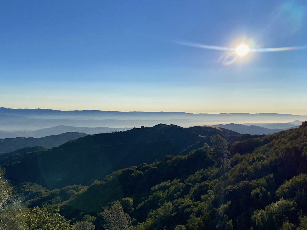
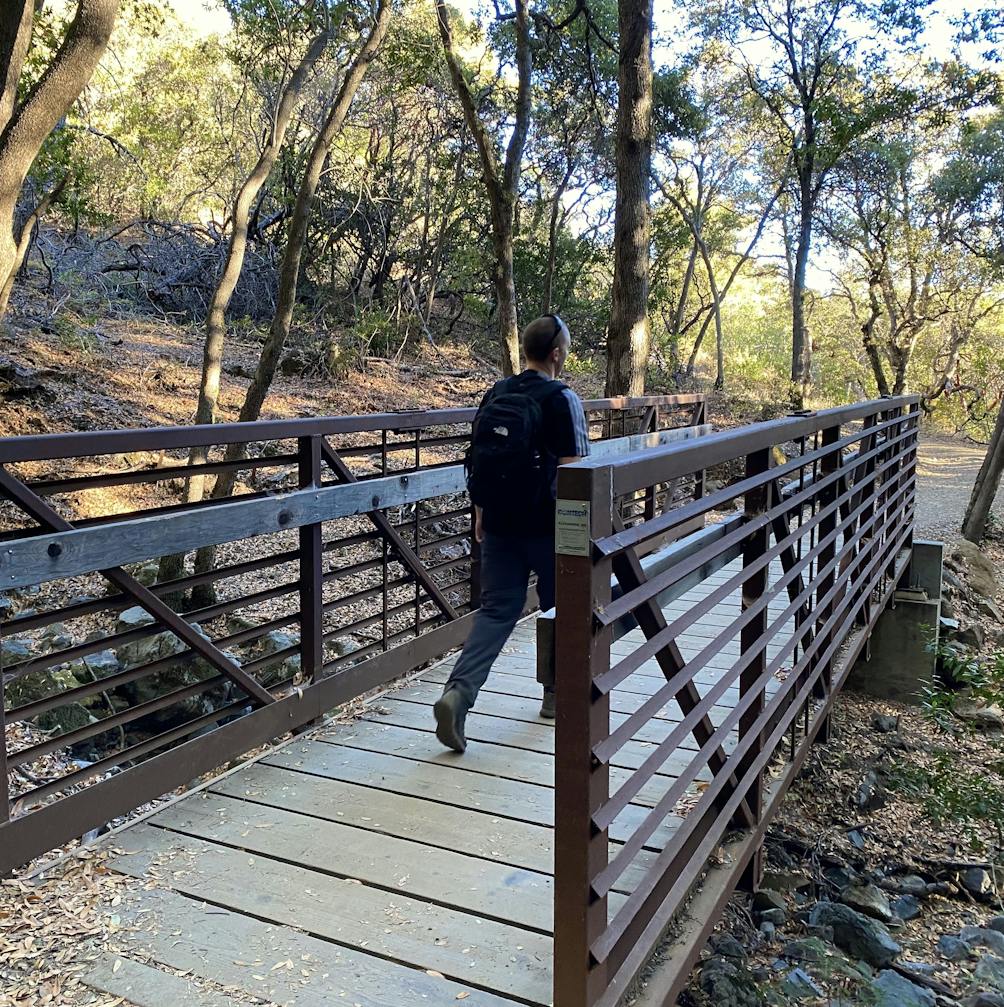
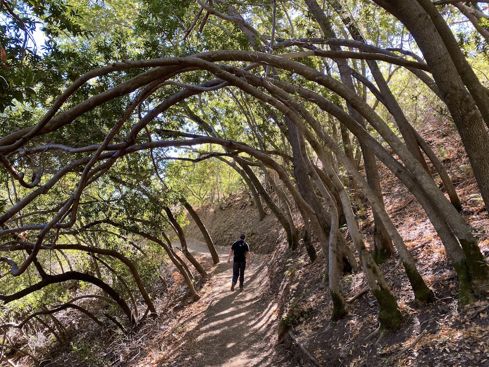
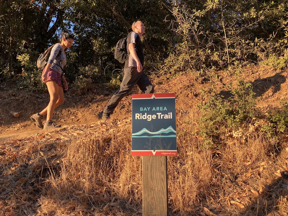
Early birds are in for a treat, as sunrise over Bald Mountain (a quick half-mile hike away) can be a breathtaking kaleidoscope of color. Signs for the Bay Area Ridge Trail lead you up a gradual ascent, with much of the route shaded by trees, including groves of red-barked manzanita. Midway up the trail, a marker notes the ruins of an old cabin where the mysterious “Lady of the Mountain” lived in the early 1900s.

Hiker crossing a bridge on the Bay Area Ridge Trail at Mount Umunhum

Hiker taking a photo of flowers along a trail at Mount Umunhum

Hiker on the trail hiking up to the summit of Mount Umunhum in the South Bay

As the tree cover begins to thin, the trail intersects with the upper parking lot. From here, the final push to the peak is over slightly steep, rocky terrain; one final challenge before earning your summit. {NOTE: Currently, construction on the upper mountain has closed this section of trail, so hikers should use the stairs by the restrooms. There is no ADA access above this point through 2021.}

Hiker under a canopy of trees on the trail up to the summit of Mount Umunhum

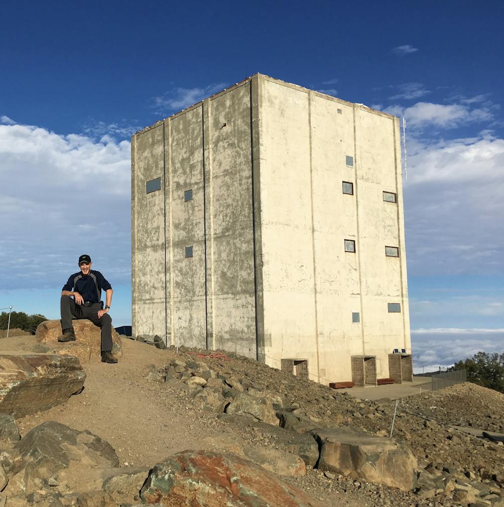
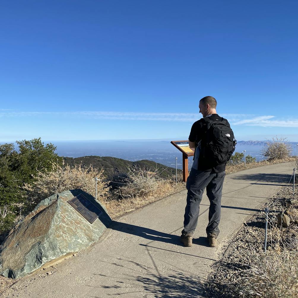
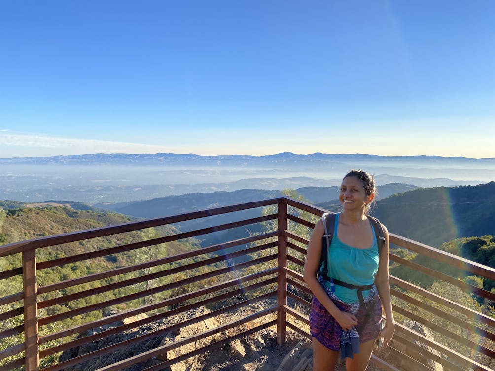
Once atop the summit, take in that view! From the lookout platforms, there’s a gorgeous panorama in every direction, with visibility from the Pacific Ocean all the way to the Sierra. Visitors can also get an up-close view of “The Cube,” the massive radar tower that has become an iconic landmark on the Silicon Valley skyline.

Two hikers heading up the Bay Area Ridge on the way up to the summit of Mount Umunhum

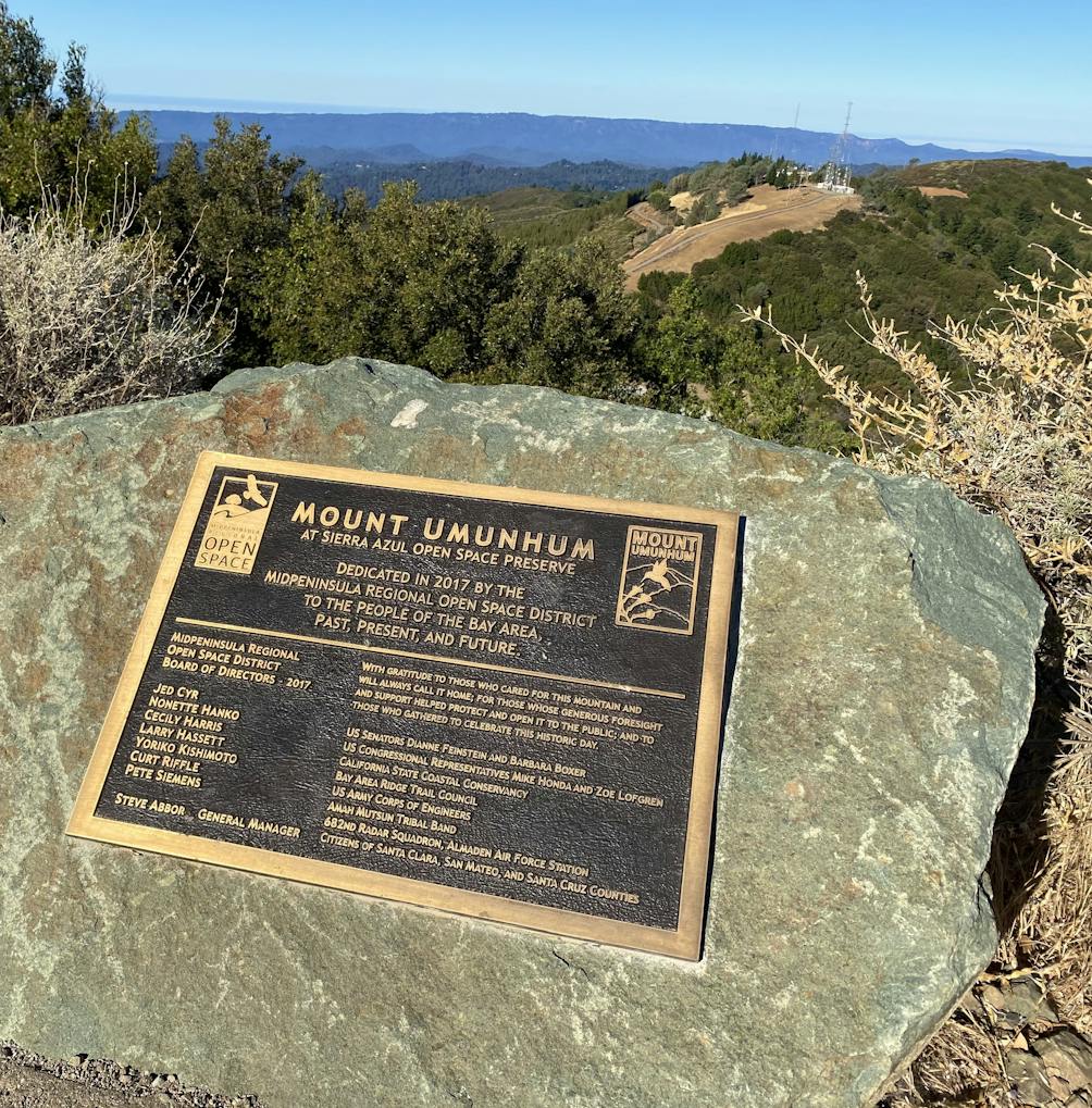
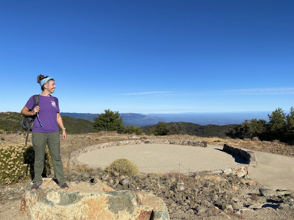
The final stop is the Ceremonial Circle, a reminder of the mountain’s history as a sacred place for local Native American tribes, and a site for ceremony, prayer, and education. Standing among all this beauty, it’s easy to see why Umunhum has been cherished for millennia.

Three hikers smiling at the camera in front of the Bay Area Ridge Trail

Hiker at the summit of Mount Umunhum in the South Bay

HIker at the Ceremonial Circle at the summit of Mount Umunhum in the Santa Cruz Mountains South Bay

BONUS: Early birds or late-day finishers may want to add the 1-mile (round-trip) hike from the parking lot to Bald Mountain, which starts from the same area. Sunrise here is particularly spectacular.

Hiker smiling at the platform summit of Mount Umunhum in the South Bay Santa Cruz Mountains

To reach the trailhead, take Hicks Rd. to Mount Umunhum Rd. in the Sierra Azul Open Space Preserve. Two miles down Mount Umunhum Rd., turn left into the Bald Mountain parking lot. The trail begins across the street. There's no water here, bring your own. No dogs.

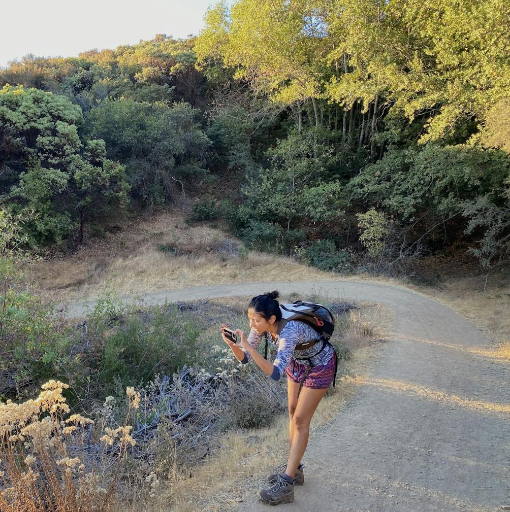
Story and photos by Poe Casavant

Trending Stories NorCal

View all Stories
  1. The Beauty of Bainbridge Island

    You know a place is special when locals head to it for their in-state vacations. Follow the lead of Seattleites and venture to beautiful Bainbridge Island in the heart of Puget Sound on the Kitsap Peninsula. Hike the Grand Forest here, meet Pia the Peacekeeper, and enjoy tasty food and drinks.

    View
  2. Woman on a bicycle passing a park lake with a fountain spraying water

    East Bay Bike With Blossoms

    Spring wildflowers are in full bloom on this 15.5-mile bicycle loop through the East Bay that begins at charming Heather Farm Park and features plenty of scenic highlights.

    View
  3. Hiker overlooking Bear Gulch Reservoir at Pinnacles National Park near Monterey

    Pinnacles of Spring

    Why hike at Pinnacles National Park? Spring's a beautiful time of year here. And you might spy the magnificent California condor soaring while you gain soaring views from the High Peaks Trail.

    View
  4. old church on Monterey Path of History

    Path of History Walk (+ Food Bonuses)

    Monterey’s 2-mile yellow tiled, multilingual Path of History is a do-it-yourself stroll among some of the area’s most interesting, beautiful, and culturally significant sites, including through the Old Town, past Mexican-era adobes, and to the beautiful Royal Presidio Chapel.

    View

Trending Stories SoCal

View all Stories
  1. Be Dune-spired!

    There’s only one urban park on the planet that helped inspire a major theme in Frank Herbert’s 1965 sci-fi book, Dune. Herbert was born and raised in Tacoma, and Dune Peninsula at Point Defiance Park is named in honor of his famous novel—a tribute to one of the book’s main ideas ...

    View
  2. Little Norway

    There aren’t many small towns in America that look and feel like Europe, but Washington State sure seems to have a few! Lesser known among them is Poulsbo on the Kitsap Peninsula. Dubbed “Little Norway,” this hamlet on the waterfront of Liberty Bay is charmed with Scandinavian influence.  

    View
  3. Caves in Mojave

    No one expects to see caves when they visit the desert, and that’s part of what makes Mitchell Caverns in the Mojave Desert such an interesting place. Go on a two-hour guided adventure tour through Mitchell Caverns in Providence Mountains State Recreation Area.

    View
  4. Dume in Bloom

    During wildflower season, nature puts on a spectacular show, and one the best places to see it is at Point Dume Natural Preserve in Malibu. 

    View