The Secret of Bear Canyon

Hiking Bear Canyon in the Angeles National Forest

{JANUARY 2023 NOTE: Stay safe. Wait until storms have passed before hiking any trails, and before heading out be sure to check official websites for updates on trail status, closures, hazards, etc. Expect muddy and slippery trails, and exercise caution and good judgement.}

Here's a cool secret: The best water holes on the Arroyo Seco River are past ever-popular Switzer Falls. To end at the 50-foot plunge is to miss the best of Bear Canyon. In other words, keep going!

This 7-mile out-and-back (round-trip) in the Angeles National Forest begins at the Switzer Picnic Area and follows the Arroyo Seco River under the shade of towering oaks and sycamores, summer homes for the strikingly yellow hooded oriole. After about a mile and multiple stream crossings, switchbacks lead you out of the shade and into the sun, but you’ll also be rewarded with panoramic vistas of the canyon and the surrounding San Gabriel Mountains.

After the trail descends to the canyon floor, a short side hike leads to Switzer Falls. Sure, have a look—but the real fun is still ahead! Continuing on Bear Canyon Trail, you’ll soon reach a progression of pools to bathe in, perfect to beat the heat and used far less than Switzer’s swimming hole. Then, for the next 1.5 miles, the going is a bit wild. You’ll be boulder-hopping and bushwhacking on a route almost certainly devoid of hikers. Your goal is Bear Canyon Trail Camp, a shady spot with picnic tables, fire rings, and stoves, and a great place for a midhike meal before the uphill return trip.

As you head back the way you came, you already know the secret of Bear Canyon—those perfectly placed water holes where you can cool off yet again during the climb out of the canyon before you reach your car and head back to civilization.

TIP: Go at sunrise to beat the heat and crowds and have a chance to see an elusive bobcat hydrating at the river.

To get to the Switzer Picnic Area parking lot, take the I-210 to the Angeles Crest Highway (CA-2) in La Cañada and follow it north for 10 miles, turning right after the sign for the Switzer Picnic Area. Head down to the canyon floor and park in one of the many spots there. Be sure to display your National Forest Adventure Pass. Note: If the bottom lot is full, opt for one of two overflow lots, or a space farther up the highway. Dog-friendly!

Trending Stories NorCal

View all Stories
  1. Bear Hug

    This 5.5-mile loop through Coyote Lake-Harvey Bear Ranch County Park explores one of the newest segments of the acclaimed Bay Area Ridge Trail, one redolent with trees ranging from madrone and manzanita to buckeye and blue elderberry (with a bubbly post-hike bonus).

    View
  2. Field of Light at Sensorio in Paso Robles

    Light This Way

    Hidden in the bucolic hills of Paso Robles lies one of the greatest light shows on earth. The lighted art exhibition, Sensorio, is as if the rainbow magic of the aurora borealis was plucked from the sky and planted in the fields.

    View
  3. Bikers and walkers on the Bay Area Ridge Trail with the Golden Gate Bridge behind them

    National Park City Walk

    See San Francisco the way locals do by hiking the Presidio, a national park right in the city! Wooded trails, secluded beaches, and epic views of the Golden Gate Bridge feature on this 5.5-mile out-and-back on the Bay Area Ridge Trail. It’s a lovely slice of the City by the Bay.

    View
  4. Hike top Angel Island Mount Livermore San Francisco Bay

    Good Heavens

    The 4-mile hike to the top of Angel Island offers Bay-mazing scenery. Some people claim you get a five-bridge view: Richmond-San Rafael, Bay, Golden Gate, San Mateo-Hayward, and Dumbarton bridges.

    View

Trending Stories SoCal

View all Stories
  1. Sponsored

    Tram to Cool Treks

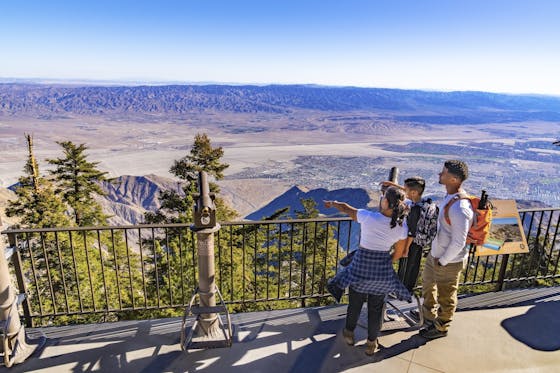
    Elevate your fun, getting whisked from palm trees to alpine wilderness on the world’s largest rotating tramcar. The Palm Springs Aerial Tramway transports you up and away on a 2.5-mile scenic route from the desert floor to the refreshing wilderness of Mount San Jacinto State Park.

    View
  2. Coming Up Roses

    Looking to spice up your hiking life? Give your partner a rose—Mount Rose! The 10-mile out-and-back peak hike goes up to one of the grandest views in all of Lake Tahoe. Get ready f

    View
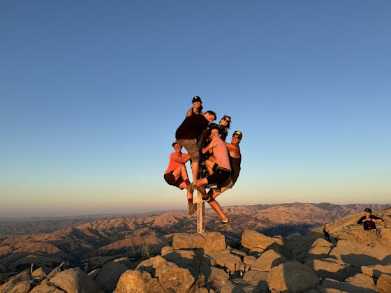
  3. A group of people clamored around the summit marker at Mission Peak in the Bay Area

    Your Mission Is Less Crowded

    Mission Peak is one of the Bay Area’s most popular mountains, with many hikers climbing every weekend. Skip the crowds with this 6-mile loop up the less-traveled southern route.

    View
  4. Bucks Up!

    Come on in, the water is beautiful. Whether you like swimming, kayaking, stand-up paddling, or heading out on a bigger boat, Bucks Lake is a high mountain haven that’s easy to access, blissfully uncrowded, and surrounded by sandy beaches, picnic areas, pines, and aspens.

    View