Pleasanton Surprise

Hike the Highlights at Pleasanton Ridge Regional Park in the East Bay

Huge views and fiery fall colors await just minutes away from downtown Pleasanton on this 7-mile hike through Pleasanton Ridge Regional Park.

From the Castleridge Trail parking lot, follow the footpath to explore the Alviso Adobe Community Park. This kid-friendly park features a community garden, a historic adobe house, and museum exhibits that cover the area’s rich history throughout the centuries.
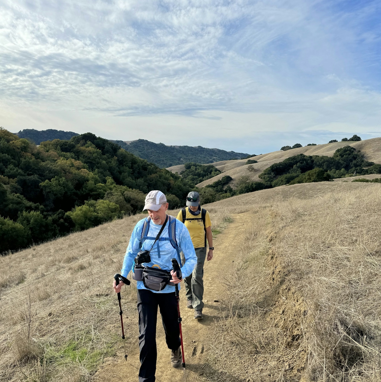
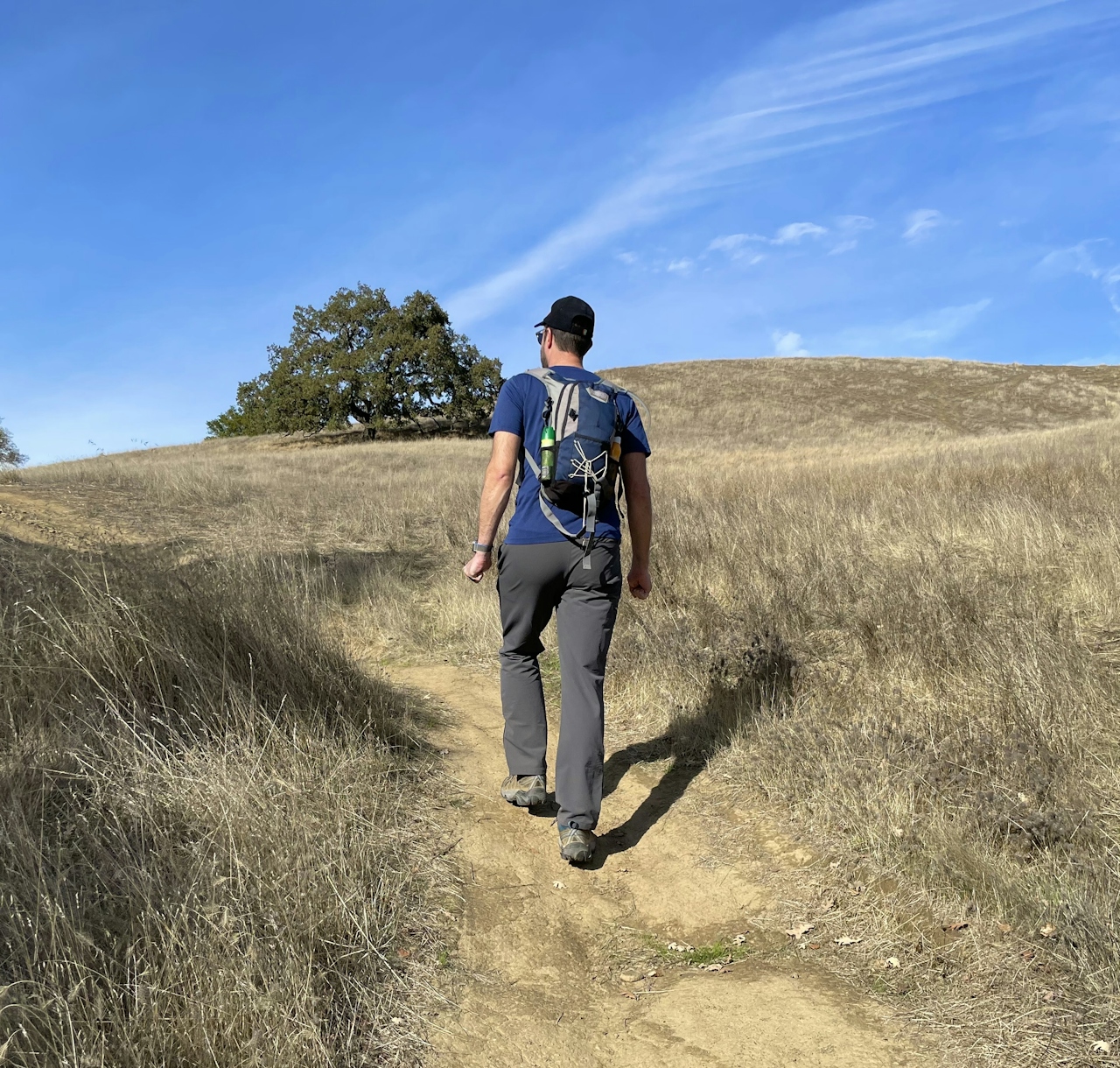
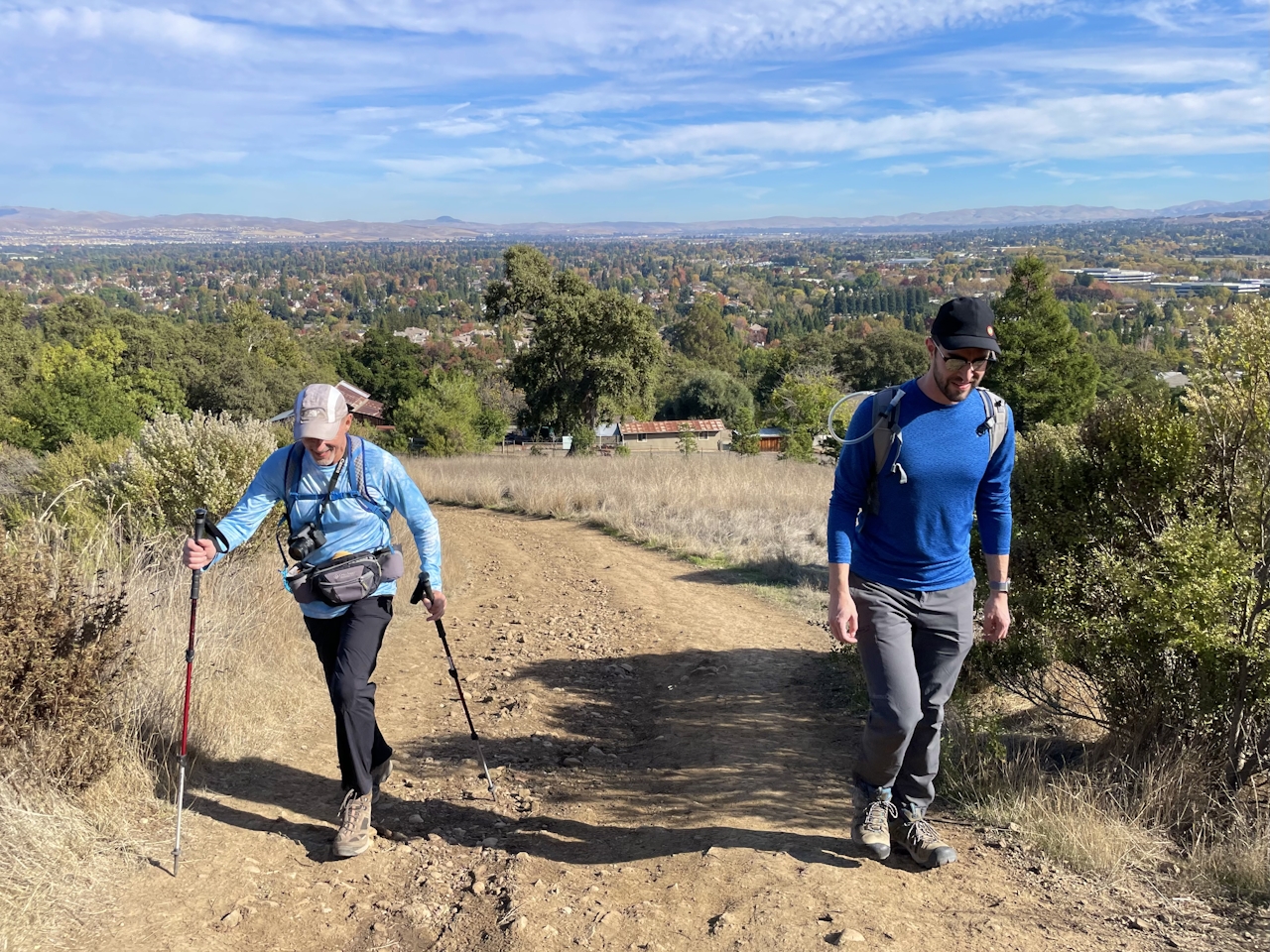
At Old Foothill Road, cross the street to reach Castleridge Trailhead, then begin ascending Courdet Trail. This nearly 2-mile stretch gains over 900 feet of elevation, and the views over the Livermore Valley are well worth the effort. To the north, mighty Mount Diablo’s two peaks are easily visible, and bright pops of autumn reds and coppers light up the towns of Pleasanton, Livermore, and Dublin below.
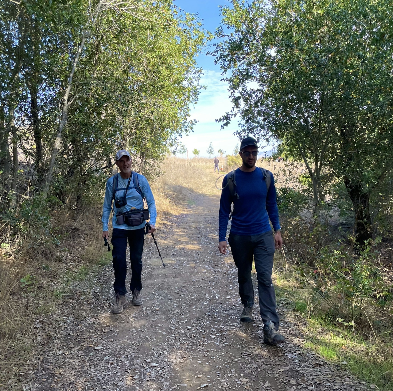
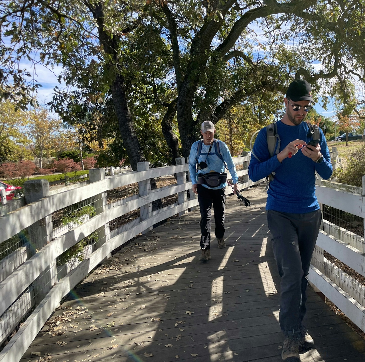
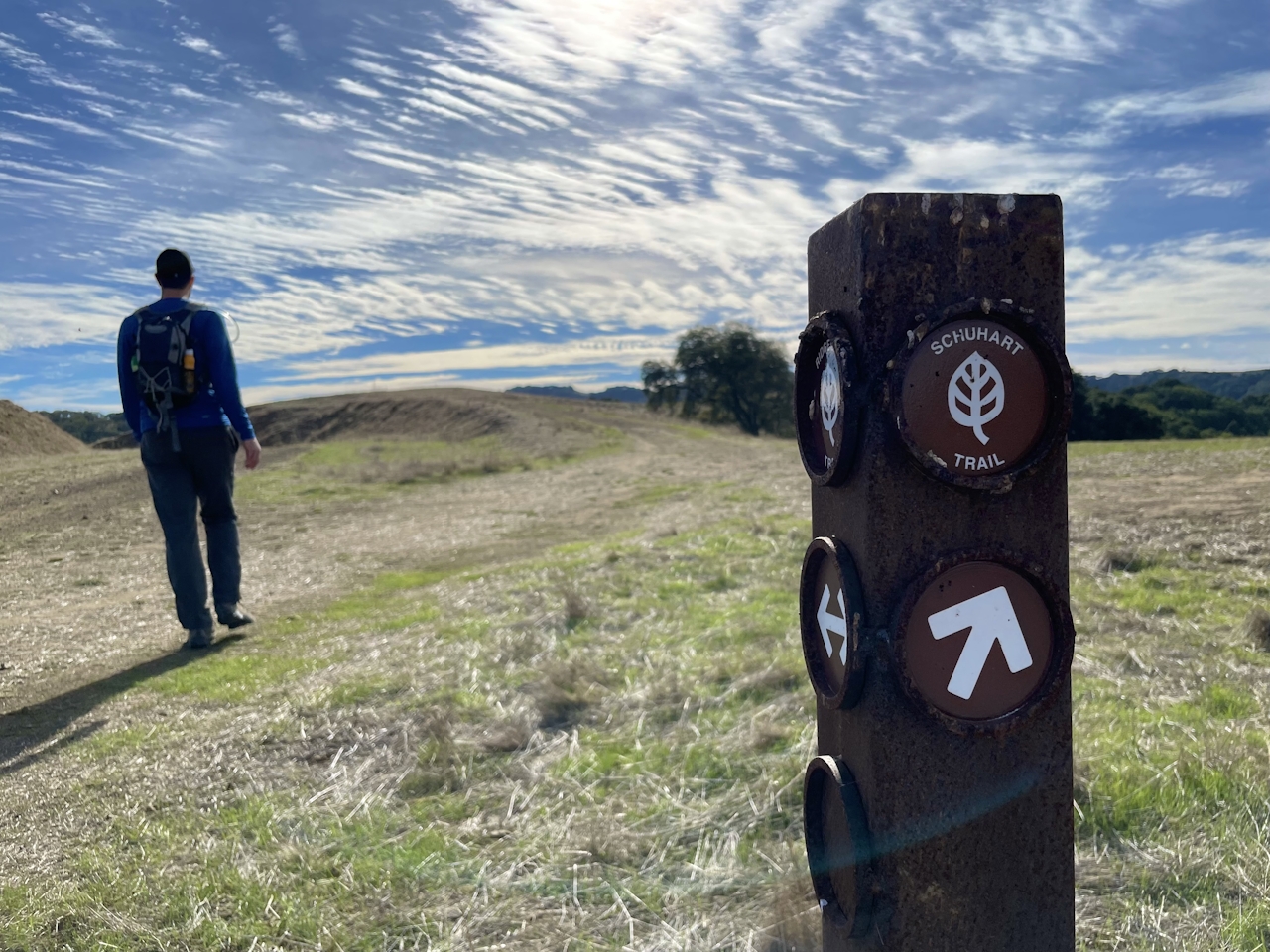
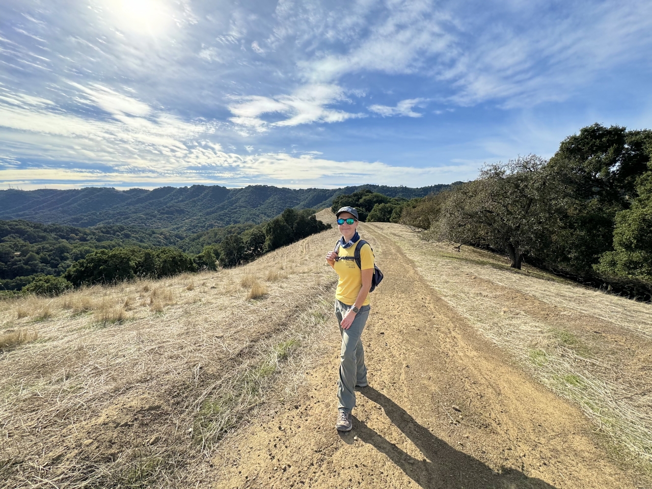
As the oak trees thin out to grassland, you’ll emerge on top of the ridgeline. Turn left onto Ridgeline Trail, then right onto Schuhart Trail. Soak in the sights of the Diablo Range in all directions, including Sunol Peak on the southern horizon. The trail drops down to a seasonal creek, where hikers can spot frogs, newts, and salamanders during the rainy season.
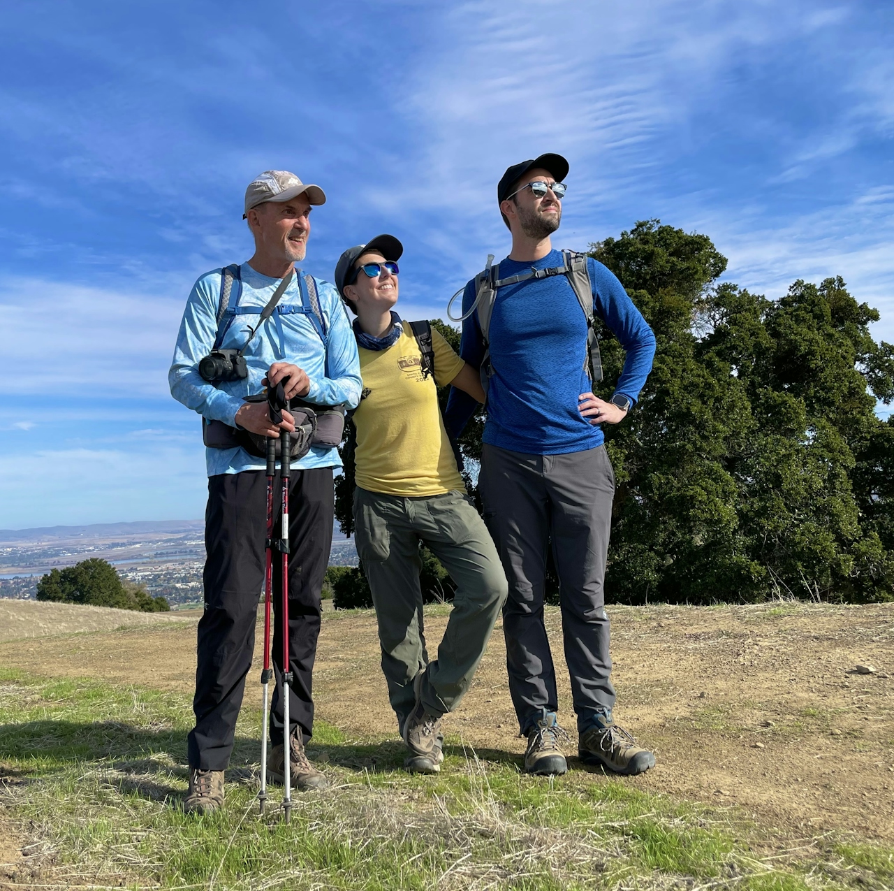
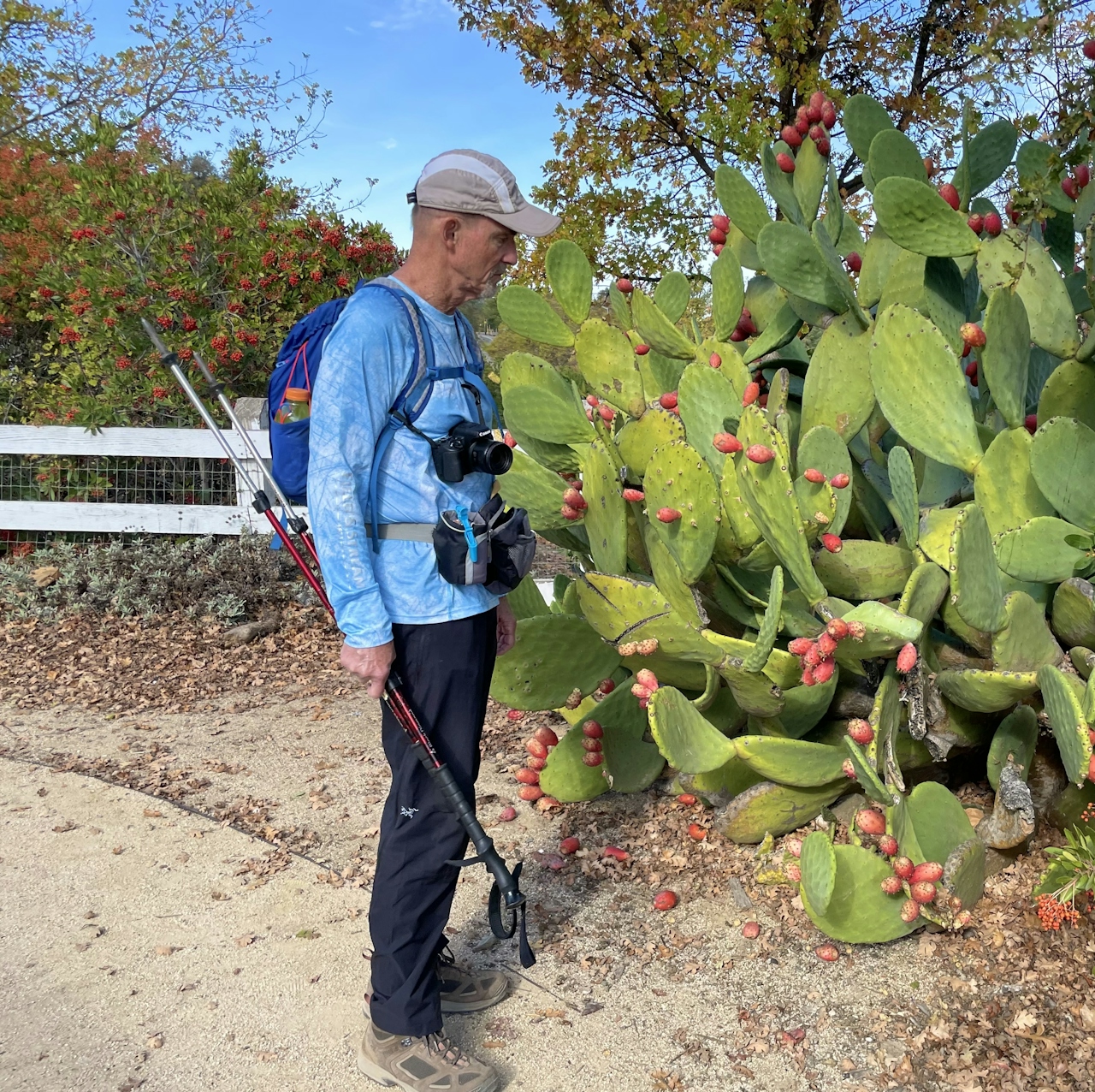
Continue straight onto Bay Leaf Trail, then turn right onto Shady Creek Trail. This gentle ascent brings hikers back up to the top of the ridgeline. The area is a bird watcher’s paradise, with colorful species like bluebirds, kestrels, and western meadowlarks.
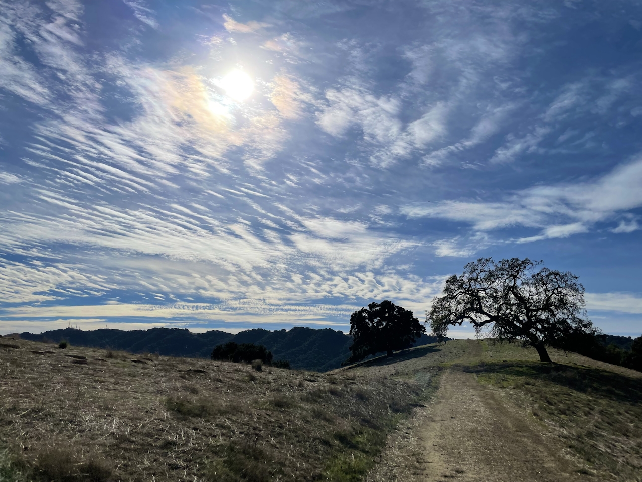
After enjoying the wildlife, retrace the route back down Courdet Trail to the parking lot.

The Castleridge Trail parking lot is located at 3465 Old Foothill Rd. in Pleasanton. From I-680, exit onto Bernal Ave., then turn right onto Foothill Rd. After half a mile, turn left into the parking lot. During the winter months, the park is open from 8 a.m. to 5 p.m. Bike-friendly. Dog-friendly.

Trending Stories NorCal

View all Stories
  1. Barbary Coast Trail medallion hike in San Francisco

    Medallion Walk SF

    The Barbary Coast Trail is a 3.8-mile historical walk and treasure hunt through San Francisco. Be on the lookout for hubcap-sized bronze medallions placed on the city sidewalks with arrows pointing you in the right direction.

    View
  2. Greater by the Dozen

    This hike is anything but a dime a dozen. The all-new "Golden Gate Dozen Trail" links 12 National Park sites on a spectacular 13-mile journey across San Francisco's coastline.

    View
  3. Inn-spiration Point!

    For more than a century, people have been hiking or mountain biking to West Point Inn for good reason. Perched at 1,785 feet on the southern slope of Mount Tamalpais, the historic inn has sweeping views from the Marin Headlands to the San Francisco skyline.

    View
  4. A Thousand Steps to Paradise

    A picture is worth a thousand words, but is a gorgeous beach in Laguna worth a thousand steps? The answer is yes, though the question is moot, because it’s only 223 steep steps down to the 400-yard stretch of sand known as 1000 Steps Beach.

    View

Trending Stories SoCal

View all Stories
  1. Roaring Redwoods

    Tucked next to brilliant Henry Cowell Redwoods State Park in Santa Cruz, the folks at Roaring Camp Railroads had a bright idea: When the sun goes down, the rainbow lights come up. Sequoias at Night brings big magic to some of the tallest trees in the world.

    View
  2. There's Always To Moro!

    Looking for a rock-solid itinerary in Sequoia National Park? Pair the park's most famous viewpoint with one that's often overlooked.

    View
  3. Rancho Style

    Vicente Bluffs Reserve dazzles anytime, but during the golden hour it’s an absolute knockout. Majestic rocky bluffs, dreamy ocean views, and a picturesque lighthouse are just a few of the reasons.

    View
  4. Sponsored

    Take the Exit to the Best of the San Francisco Peninsula

    The San Francisco Peninsula is proof that some of Northern California’s greatest surprises are hiding just off Highway 101. All you have to do is take the exit.

    View