Westridge Lollipop
Mountain Biking Loop in Westridge-Canyonback Wilderness Park


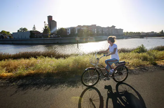
This is why we mountain bike! A bit of challenge, stupendous views (mountain and ocean), and some Cold War history are a few of the highlights on this ride in the Santa Monica Mountains. Along the way, you get a long steady climb, some quick descents, and a couple of high-heart-rate sections, but no part of this lollipop loop is technical. Any fit rider can do it, and everyone should try. It’s an 11-mile round-trip with 1,667 feet of gain.
It begins at Westridge Trailhead in Brentwood, where a gate separates the world of Brentwood chateaux from the wilds of Westridge-Canyonback Wilderness Park. The first 3.6 miles up are a steady but not steep fire-road climb. Early on, watch for dogs—they’re allowed off-leash here. The apex of the ride is San Vicente Mountain Park (1,950 feet), where there’s water, a restroom, and a killer view. On clear days, you see an expanse of the Santa Monicas down to the ocean, and inland out to the San Gabriels. That odd apparition looming above you? A radar tower built in the early ’60s to track enemy aircraft and to send Nike missiles up to intercept them. The view from the tower is even better!


If you’ve had enough, just turn back and ride down. But to make the loop, go right to ride a mile downhill on Dirt Mulholland (chance of cars on this road), turn right at the big yellow locked gate, continue another mile, and look for an unmarked trail that clearly drops down to the right. That’s Hollyhock Fire Road, a zippy downhill to Mandeville Canyon, where you’ll ride up pavement for 0.2 mile to Garden Land Road. Turn left, pass through the gate, and begin the 1.4-mile crux climb of this ride, surrounded by thick chaparral. Steady as she goes! Stay right at the first T, and soon enough you’ll rejoin your original fire road, where you turn left and enjoy a blissful 2.5-mile downhill swoop, ocean in your sights the entire way. You deserve a lollipop!
From the I-405, exit Sunset Blvd. and drive 2.3 miles west to Mandeville Canyon Rd. Turn north and make the first left onto Westridge Rd. Continue on Westridge until it ends at the trailhead. Free parking on the street. Dog-friendly!