Almost Easy
Mountain Biking Sullivan Canyon in Brentwood


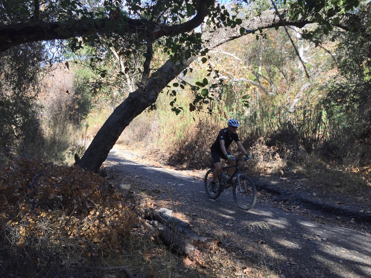
Yes, it’s almost easy! That’s the beauty of Sullivan Canyon, that rare mountain bike ride in the Santa Monicas that doesn’t blast right up steep slopes. For the first 3 miles, you’re so enchanted by the huge oaks and sycamores that drape across and shade the trail, you barely notice that you’ve climbed nearly 600 feet. Before you’re done, you’ll have climbed 988 feet on an 8-mile (round-trip) out-and-back.
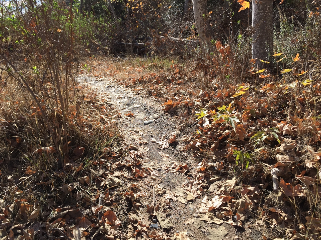
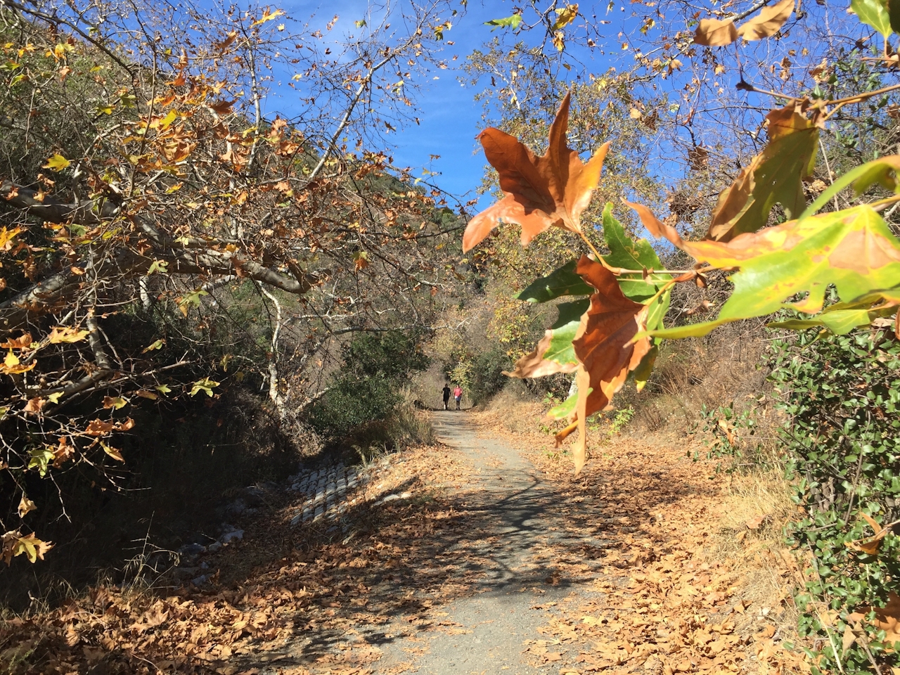
The trail traces a gas pipeline that you’ll never see, but its presence assures that the route is generally maintained in good condition—though you should wait a few days after a rain. It starts with multiple streambed crossings (usually dry) that are a blast to cruise through, letting those big fat tires roll down, over, and up. This time of year, the sycamores are past their leafy prime, but plenty of golden leaves still cling to branches, and huge crispy piles of them line the way. As you proceed, you’ll see little singletrack offshoots that are fun diversions; some are a smidge technical, but they all rejoin the main trail in short order.

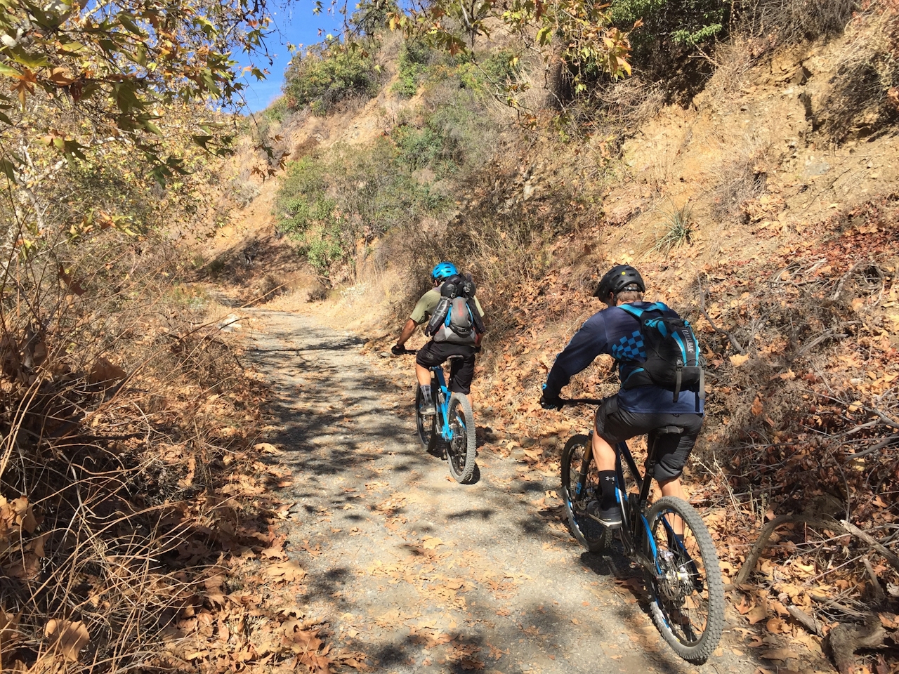

After those first 3 gentle miles, you’ll be looking for your granny gear as the trail steepens and gets a bit rockier. Totally doable, though … right? Trees are fewer and shade less as you grind nearer to the head of the canyon. When you make it, and you will, you’ll see a large concrete apron. That’s your turnaround spot, and a nice place to relax, snack, and chat with other riders, content in the knowledge that life is all downhill from here.
From the I-405, exit Sunset Blvd. and drive 2.3 miles west to Mandeville Canyon Rd. Turn north and make the first left onto Westridge Rd. Drive uphill for 1.2 miles to Bayliss Rd. and turn left. Park near or on Queensferry Rd., which leads downhill from Bayliss. Pass through a locked gate and ride a short, steep paved stretch into the canyon. Dog-friendly!







