Briones Blowout
East Bay Hike on Briones Crest

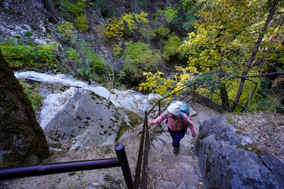
With crowd favorites Tilden to the west and Mount Diablo to the east, Briones Regional Park can seem like the introvert of East Bay outdoor playgrounds. But don't be fooled: Briones isn't afraid to show off its wild side! The park has over 6,000 acres of ridge-top hiking trails, dirt mountain biking roads, and panoramic peaks. For a scenic circuit, do the 7.6-mile loop hike—from wagon road to crest to valley. The hike starts from the Bear Creek parking lot. After connecting the Black Oak and Mott Peak Trail, you'll climb to one of this hike's high points, literally and figuratively. Briones Crest Trail is one of the nicest in the park—tracking a ridge overlooking Concord, Walnut Creek, Suisun Bay, Mount Diablo, and the EBMUD watershed while gently climbing past several lagoons. The loop is especially scenic in the fall, when a tunnel of softly-turning red madrones, maples, and yellow-tinged black oaks will deliver you back to the parking lot through fields of tawny tussock. Now that's a grand finale.
Take Old Briones Rd. from Bear Creek parking lot and turn left onto Black Oak Trail. Bear right on Mott Peak Trail. Climb for a third of a mile and turn right at Briones Crest Trail, climbing until it passes Briones Peak. Take either Table Top or Briones Creek at the fork junction—they reconnect after 1 mile. Descend and turn right onto Seaborg Trail. Follow back to Old Briones Rd. and turn left to return to the parking lot. Open 8:00 a.m. to sunset. No dogs.


