Loop Less Traveled

Hike a Loop Less Traveled at Monument Peak in the East Bay

The East Bay is home to some of the Bay Area’s most popular mountains, and Monument Peak shares the same gorgeous views with fewer people on the trail. This 8.7-mile loop into the hills offers seclusion en route to the summit. It might just be you … and the cows!

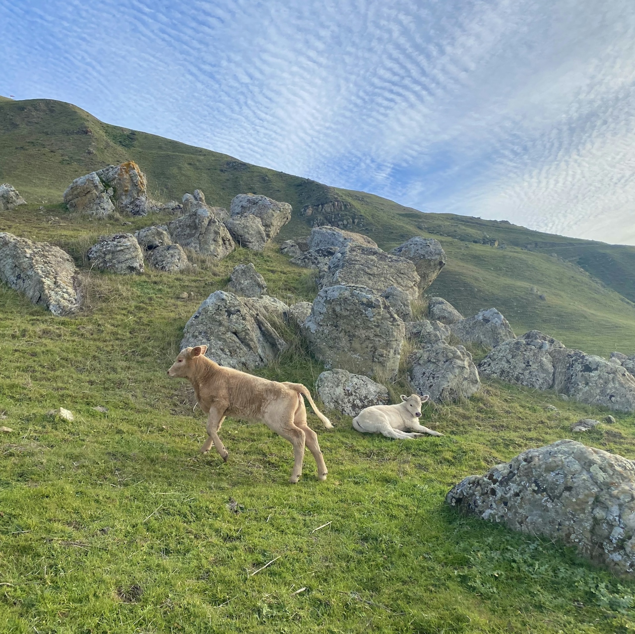
Cows on the pastureland at Ed R Levin County Park in the East Bay

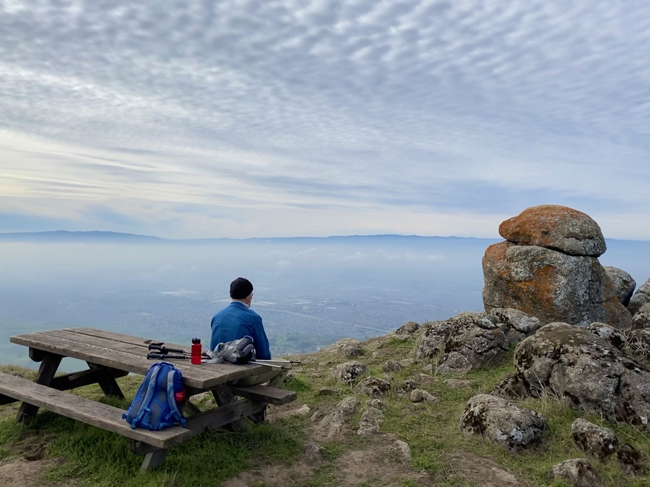
Man at a picnic table overlooking the East Bay at Ed R Levin County Park

Start at the Tularcitos Trailhead beside the dog park in Ed R. Levin County Park. Soak up the beauty as you turn left onto Agua Caliente Trail, which slowly ascends through miles of cow pasture. At the intersection with Monument Peak Road, cross the road to stay on Agua Caliente, and then turn right onto Monument Peak Trail. This winding route alternates between wide-open fields and patches of shaded forest. In the winter months, hikers might even encounter small stream crossings.
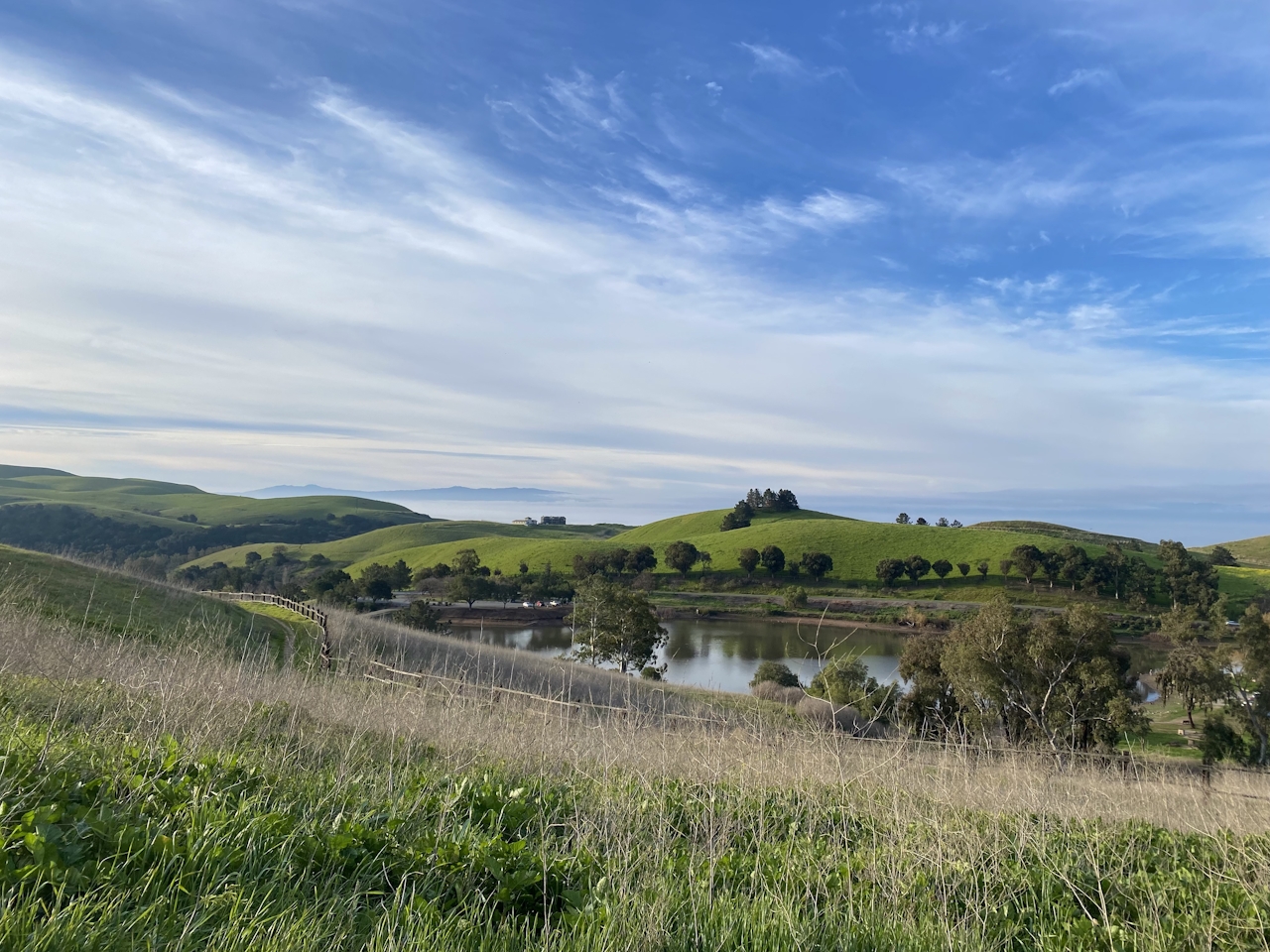
Lake at Ed R Levin County Park in the East Bay

At the Weller Road intersection, turn right, then bear right onto the dirt road leading to Monument Peak’s summit, marked by an antenna. At 2,594 feet high, the views from the peak are spectacular! To the north, sistering Mission Peak is a two-mile hike away (for those so inclined for a big day hike), while Mount Diablo rises in the distance. To the south, Mount Hamilton’s Lick Observatory peeks over the hills; and to the west, all of Santa Clara Valley and the bay stretch out before you.
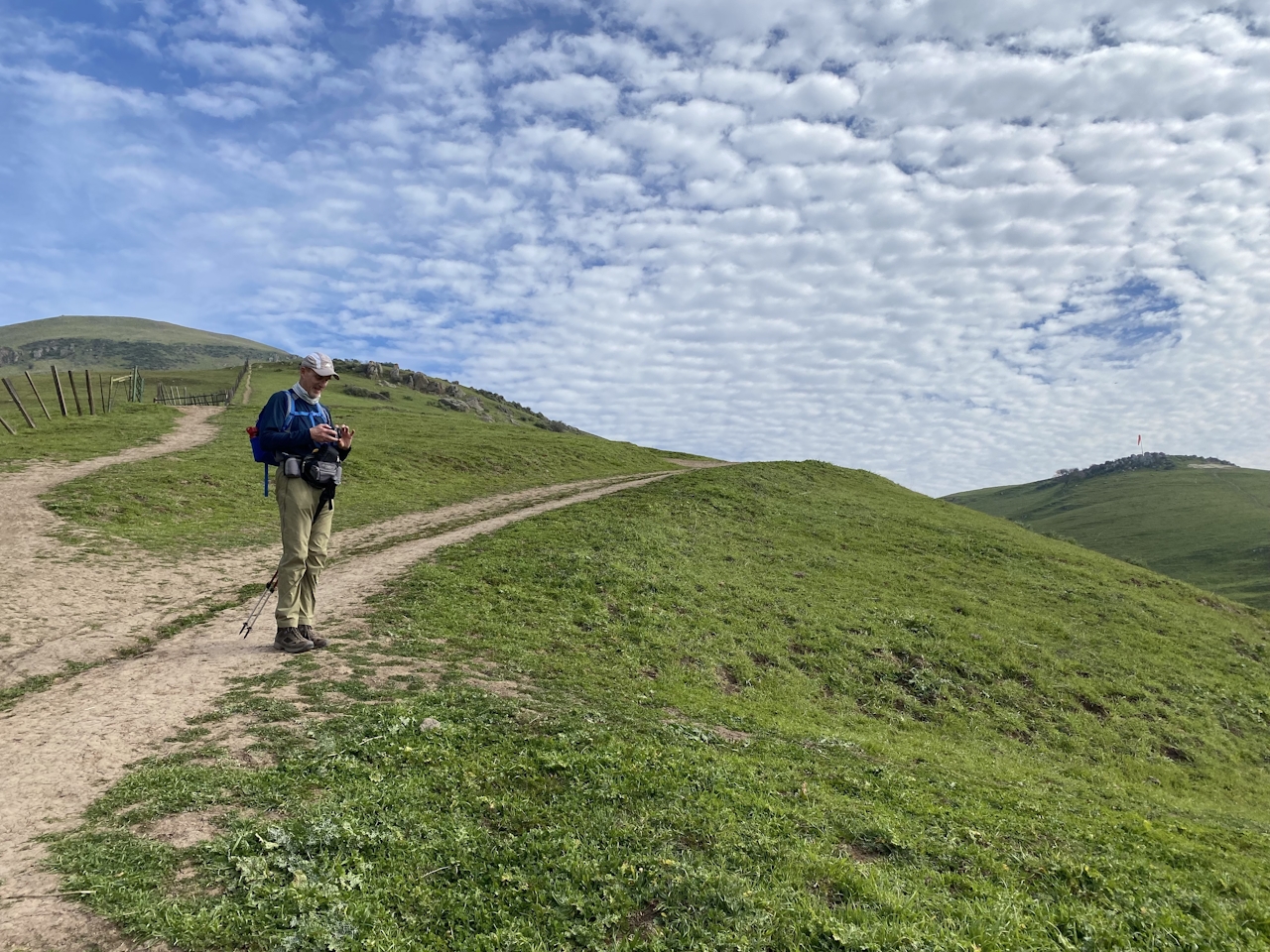
Man on wide open trail surrounded by green hills at Ed R Levin County Park in the East Bay

When you’re ready, retrace your steps to Weller Road. Turn right onto Weller Road, then bear right onto Monument Peak Road and the Sierra Trail. This loop provides stellar panoramas as you descend, and passes a seasonal pond teeming with wildlife in winter months. When the cows aren’t grazing (and gazing, at you!), search the water for frogs, tadpoles, and snails.

Continue on to Monument Peak Trail to complete your loop (and retrace your steps back to the parking lot).

Ed R. Levin County Park is located at 3100 Calaveras Rd., Milpitas. Traveling on either I-680 or I-880, take the Calaveras Rd. exit in Milpitas. Drive east along Calaveras Rd. into the park. Turn left onto Downing Rd. and park at the Sandy Wool Lake restrooms, beside the dog park. The park is open from 8 a.m. to sunset. There is a $6 parking fee. Dog-friendly!

Story and photos by Poe Casavant

Trending Stories NorCal

View all Stories
  1. Napa Valley Paddle kayaker and paddle boarder on the Napa Valley river

    Napa's Wild Side

    It’s wine country’s Amazon. The gentle Napa River is an ecological—and recreational—delight. And Napa Valley Paddle sets you up for maximum enjoyment of this experience.

    View
  2. Been There, Dome That

    Surrounded by granite domes, craggy peaks, and miles of hiking trails, the High Sierra landscape of Tuolumne Meadows in Yosemite National Park is famous for good reason. For a truly grand view, take a short hike to bold—and bald (except for snow at times)—Lembert Dome.

    View
  3. Wapama Wows

    Hetch Hetchy can be overlooked in Yosemite National Park because of its more remote location and limited facilities. But this is where you’ll also find one of the best day hikes in the park: Wapama Falls.

    View
  4. Hike Mount Tamalpais into Muir Woods

    Muir Woods Through the Backdoor

    A backdoor entrance into Muir Woods? Hike a tranquil trail that starts in Mount Tamalpais State Park and quietly leads into Muir Woods, letting you avoid the busyness of the main parking area.

    View

Trending Stories SoCal

View all Stories
  1. Inn-spiration Point!

    For more than a century, people have been hiking or mountain biking to West Point Inn for good reason. Perched at 1,785 feet on the southern slope of Mount Tamalpais, the historic inn has sweeping views from the Marin Headlands to the San Francisco skyline.

    View
  2. A Thousand Steps to Paradise

    A picture is worth a thousand words, but is a gorgeous beach in Laguna worth a thousand steps? The answer is yes, though the question is moot, because it’s only 223 steep steps down to the 400-yard stretch of sand known as 1000 Steps Beach.

    View
  3. Sponsored

    Take the Exit to the Best of the San Francisco Peninsula

    The San Francisco Peninsula is proof that some of Northern California’s greatest surprises are hiding just off Highway 101. All you have to do is take the exit.

    View
  4. Hike to the Sierra Buttes Fire Lookout in the Lakes Basin

    Lookout for This View!

    Sierra Buttes Lookout, at a lofty 8,591 feet, is a memory maker for its pucker-worthy stairway to the tower’s balcony. It's a 5-mile (round-trip) hike to reach it. And the reward? Epic!

    View