Hill Yeah!
Hike Crockett Hills Regional Park in the East Bay

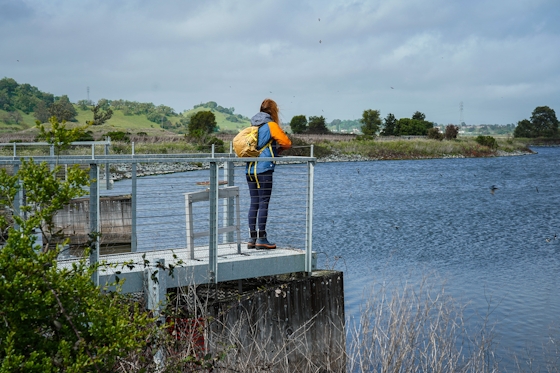
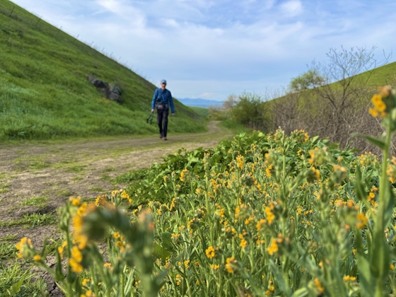
Want soaring views without heading to the mountains? Then head for the hills! The East Bay’s Crockett Hills Regional Park is set amid the rolling landscape just south of the Carquinez Bridge, and this 3-mile loop featuring Soaring Eagle Trail overflows with scenery.
After passing the cattle gate, keep to the right for Soaring Eagle Trail, and hike around ridges with views at every turn. After a mile, pass through a small oak forest for some shade.
At the 2-mile mark, there’s a picnic table looking out to hills that billow all the way to the bay. Take Sky Trail to descend and finish the hike. The finale has head-on views towards the Carquinez Strait, dipping in and out of the oaks to a fantastic view of the Carquinez Bridge. Crockett in your pocket!
To find the trailhead, head south on Cummings Skyway from I-80 for 1.2 miles. The pull-off is found just before a large chain-link fence. Cross the road and head north about 50 feet, where you will find a small footpath down to the trailhead. Do not go through the tunnel for this hike. Here is a map. Note: on Google maps only the Sky Trail is named, but it's called Crockett Ranch Trail on Google Maps. Weekend Sherpa used the map from the Crockett Hills Regional Park website. No water or restrooms at the trailhead. Dog-friendly.
Bring the Outdoors to Your Inbox
Sign up for our weekly email and stay up to date on where to explore in California.
* No spam, that's a funky food!


