Encinitas Ranch

Hike at Encinitas Ranch for Mountain and Sea Views in San Diego County

A hiker surveys the sandstone formation and distant mountain views at Encinitas Ranch in North San Diego County

Rare Torrey pines, striking sandstone bluffs, mountain and ocean vistas ... find these trademark San Diego features on an unassuming suburban hike! Head to the Encinitas Ranch community next to the eponymous golf course for a 2.75-mile loop with about 300 feet of elevation gain and opportunities for more local adventure.

A woman walks by a cactus covered trailside at Encinitas Ranch in North San Diego County

Park along Paseo De Las Flores just north of the golf course and Quail Gardens Drive. The trailhead will be alongside a colorful floral display next to an Encinitas Ranch sign, across from an agricultural field (download a map too!). Head east past a little free library, ascending a dirt track flanking a white picket fence. You’ll soon reach the high point of the hike, overlooking the neighborhood of Rancho Ponderosa and prominent peaks beyond. On a clear day, you can actually see five mountain ranges: San Gorgonio, San Jacinto, Palomar, Julian, and Cuyamaca from left to right. 

Dog statue at vista point in Encinitas Ranch San Diego County

Hiker walks on trail with Torrey Pine trees at Encinitas Ranch in North San Diego County

Hiker walks along a trail and looks out to the mountain scenery at Enicinitas Ranch in North San Diego County

It’s a fantastic panorama, but what’s even better is that this segment of the trail travels under majestic, rare specimens of Torrey pines and, though they were purposefully planted here, it’s a treat to see their curled branches and long needles. You’ll also find California sycamores and eucalyptus here (though no oaks, despite “Encinitas” meaning “little oaks” in Spanish), providing plenty of shade. Take time to find multiple spur trails heading east. This is the Hidden Ridge Trail, which travels parallel to the Ranch Loop Trail you’re on and gives you an up-close view of the sandstone bluffs. Take time to explore this path, and for extra mileage and elevation, take it down past chaparral to Garden View Road before heading back up to the Ranch Loop.

Person biking a trail at Encinitas Ranch in North San Diego County

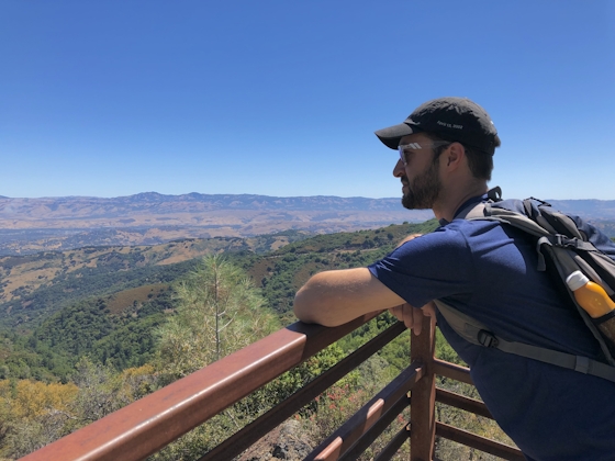
Hiker overlooking the mountain scenery in the distance at Encinitas Ranch in North San Diego County

After a memorial statue for a local pooch, the trail curves west and provides you with a welcome surprise—nice views of the Pacific as you work to complete the loop. The path eventually curves north (turning right at Las Verdes Park), but you can optionally continue west to run into Quail Gardens Drive and the entrance to the must-visit San Diego Botanic Garden. Otherwise, continue north along the cactus- and bougainvillea-dotted hillside that borders the golf course and your eventual deposit at the starting point and your car.

To get to the Encinitas Ranch Loop trailhead, take the I-5 to the Leucadia Blvd. exit and head east. After 0.8 mile on Leucadia Blvd., take a right onto Quail Gardens Dr. followed by an immediate left onto Paseo De Las Flores. After 0.3 mile, the trailhead (and street parking) will be on your left. Dog-friendly!

Trending Stories NorCal

View all Stories
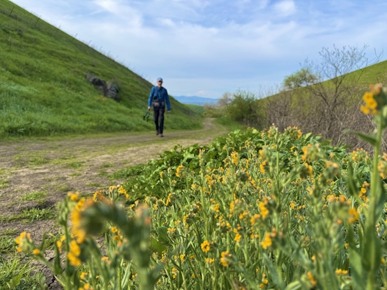
  1. All right, Almaden!

    Take a trip through time on this 5-mile loop in Almaden Quicksilver County Park. Explore the ruins of an old cinnabar mine and enjoy the first hints of wildflower season.

    View
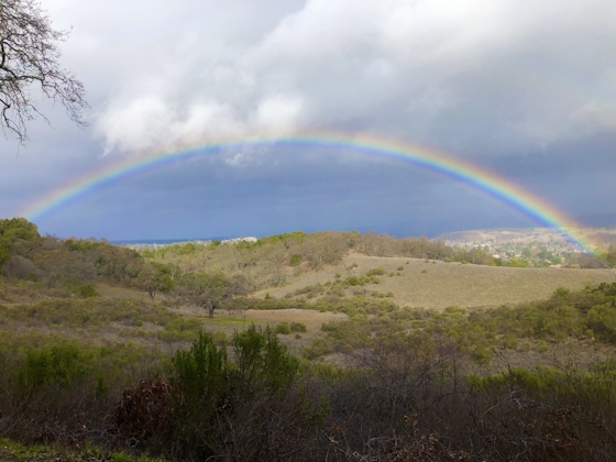
  2. Waterfalls and Wine Pours

    Cooler temps, green hills, and the return of our magnificent waterfalls! This family-friendly 2-mile hike at Uvas Canyon County Park in Morgan Hill is a great way to get the most out of a short hike post-rain.

    View
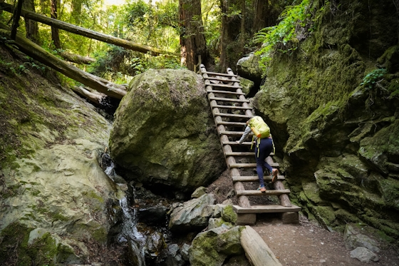
  3. Woman hiker is climbing up the ladder in the Steep Ravine section of the Dipsea Loop Trail on Mount Tam

    Misty on Mount Tam

    Mount Tam’s 3.9-mile round-trip Steep Ravine and Dipsea Trail Loop weathers the wets and wilds with some confidence, sheltered in parts by redwoods, and wowing with a waterfall.

    View
  4. Mile-Long Cataract Club

    In winter after heavy rains, the north flank of Mount Tam glows with flows. The nearly mile-long series of waterfalls—Cataract Falls—transforms into a supercharged spectacle. Starting at Alpine Dam, a 1.6 mile (one-way) narrow trails threads through redwoods and ferns along Cataract Creek.

    View

Trending Stories SoCal

View all Stories
  1. Sponsored

    Hidden Gems of Reno Tahoe

    Step into a land where adventure meets relaxation. Reno Tahoe is where the spirit of the great outdoors and the energy of vibrant city life inspire you to live with no limits.

    View
  2. Peace Labyrinth

    Hidden in LA’s historic West Adams district, the Peace Awareness Labyrinth & Gardens is a welcome respite from the norms of urban noise.

    View
  3. Weekend Sherpa Podcast: Take It Outside

    Adventure for your earbuds. What's new in the world of the outdoors? Listen to Weekend Sherpa co-founders discuss local hikes, beaches, bike rides, camping spots and all kinds of travel and adventure in California and beyond!

    View
  4. Hikers sitting on a large rock slab next to Three Sisters Falls in Cleveland National Forest Southern California near Julian

    Three Sisters

    Good things come in threes at this hike to a lovely trio-tiered waterfall in Cleveland National Forest. The 4.25-mile out-and-back hike rambles among rolling hills, with rocky mountain views as switchbacks take you down to a lush canyon and the falls.

    View