Fernandez Fabulous

Hike Fernandez Ranch in the East Bay Hills

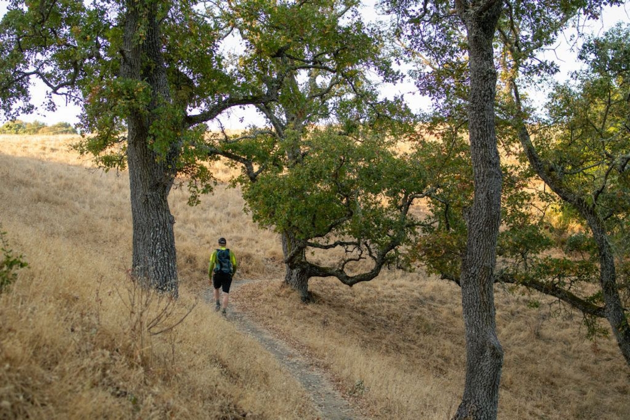
Hiker at Fernandez Ranch in the East Bay

There’s a lesser known hiking haven located in the northern range of the East Bay Hills. Fernandez Ranch has beautiful trails through the park’s golden hills and under oak savannahs. Thank the John Muir Land Trust for its efforts in conserving Fernandez, among other ranches, farms, open space, and shoreline. In fact, they're looking to the future in a big way, with a vision for protecting, restoring, and improving East Bay parklands all the way to 2049! (A current project includes raising funds to open 232-acre Pacheco Marsh.)

This 4-mile recommended loop hike bonuses with glorious view of San Francisco Bay. Start on the Black Phoebe Trail, named for the bird that frequents the fence posts separating the pasture from the trail. Cross Slot Creek’s dry bed and start an ascent among mixed forest on the Whipsnake Trail.

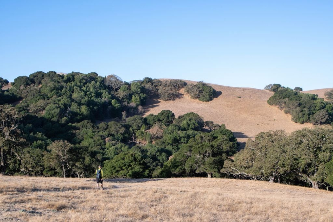
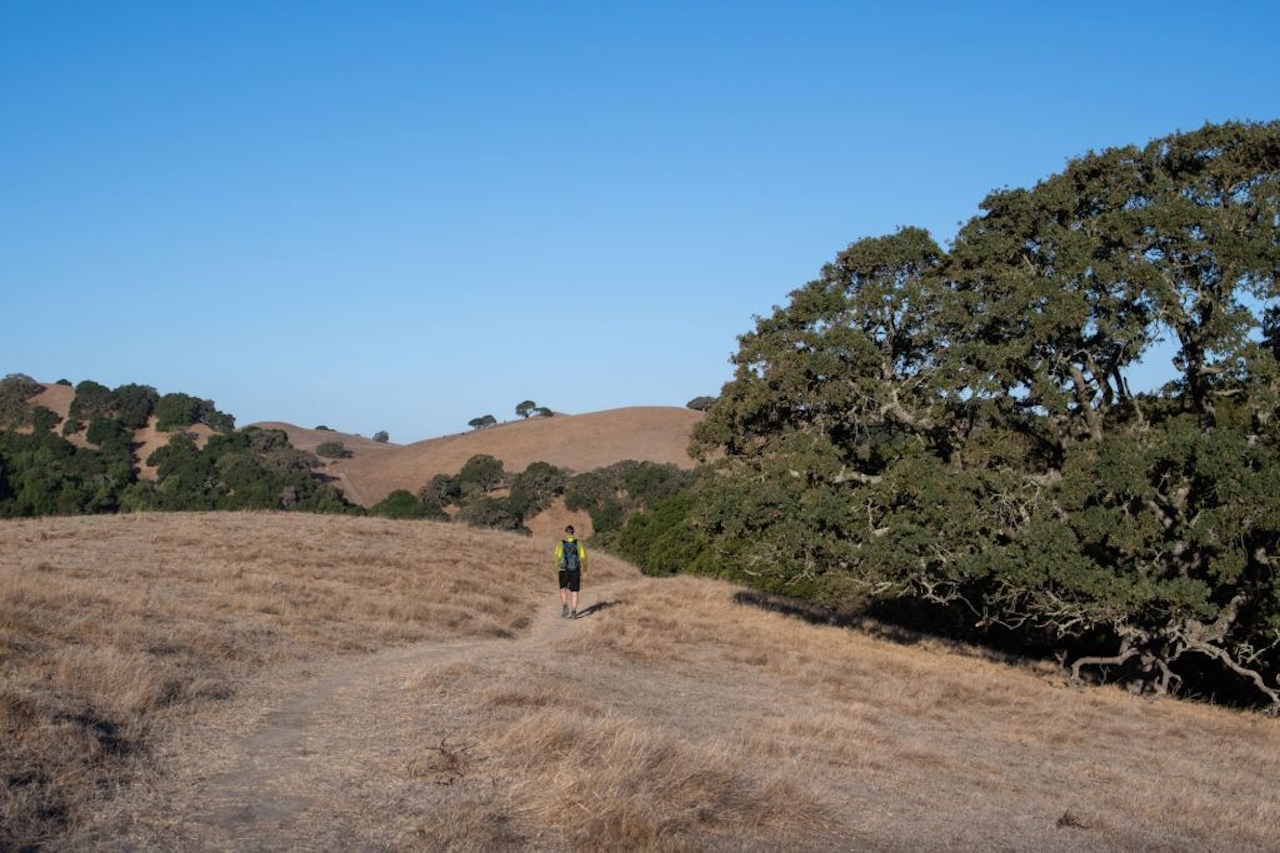
As you climb, the surrounding forest gives way to open plains and giant oaks. Views come easy once you reach the park’s “Upper Meadow” as marked on the map. The views fade as you continue along the trail and descend into the valley. After crossing a small bridge, follow the Woodrat Trail up a ridge for the last views from an elevated point on the trail. It’s a quick and steep descent back into the valley on the Windmill Trail and a wooded section of trees making their autumn color transition.

Hike Fernandez Ranch in the East Bay Hills

Follow the trail paralleling Fern Creek ravine back to the parking lot.

The exit to the Fernandez Ranch parking lot is difficult to spot along Hwy. 4 for eastbound traffic as Christie Rd. is designated as a “minor exit.” The Fernandez Ranch entrance and parking lot is located at 1081 Christie Rd., Martinez, CA 94553. No drinking water is available at the trailhead. Dog-friendly!

__

Trending Stories NorCal

View all Stories
  1. Woman with her arms outstretched to the rolling hills scenery while on a rock outcrop at Barnabe Peak in Samuel P Taylor Sate Park in Marin

    Barnabe Bonanza

    Sure, there are higher mountains in Marin (Mount Tam) and easier ascents (Mount Burdell), but is there a more expansive North Bay view? Barnabe Peak in Samuel P. Taylor State Park offers a glorious panorama including Mount Tam, Mount Diablo, and Mount St. Helena.

    View
  2. Hiker on the SCA trail in Marin Headlands with view of the Golden Gate Bridge

    Headlands Over Heels

    People come from all over the world to get a glimpse of the Golden Gate Bridge. Get a dramatic and novel view of the bridge without all the people on this moderate 6-mile hike in the Marin Headlands.

    View
  3. woman hiking Mt Tam east peak
    Sponsored

    Marquee Marin

    There may be no better place to find the best in coastal outdoors than the Marin Headlands. Bluff-side hiking trails, beautiful sandy beaches, big Pacific views, an iconic lighthouse, and unique lore in the area’s historic batteries are all part of the action here.

    View

Trending Stories SoCal

View all Stories
  1. Woman hiking the San Onofre Bluffs Loop Trail to San Onofre State Beach in San Diego County

    Bluffing Good!

    Lovely coastline, beautiful beaches, unique geological history, and picturesque sandstone cliffs with limited foot traffic in San Diego County? Head to San Onofre State Beach and the 5-mile San Onofre Bluffs Loop Trail.

    View
  2. Can We Get a Whoop Whoop!

    City, mountain, and ocean views all in one hike? Whoop whoop! It’s no surprise the the Kenter Fire Road and Whoop-de-Doos Trail (a combo of fire road and singletrack) is a favorite among local mountain bikers and hikers alike.

    View
  3. The Big Chill

    In LA, finding a place to chill can be the ultimate flex. So flex, in Franklin Canyon! This unexpected oasis has plenty of shade, cool lake breezes, and ample picnicking spots. Enjoy it on an easy-going 1-mile stroll along its reservoir and duck pond.

    View