Viva Las Trampas
Hike Las Trampas Rocky Ridge

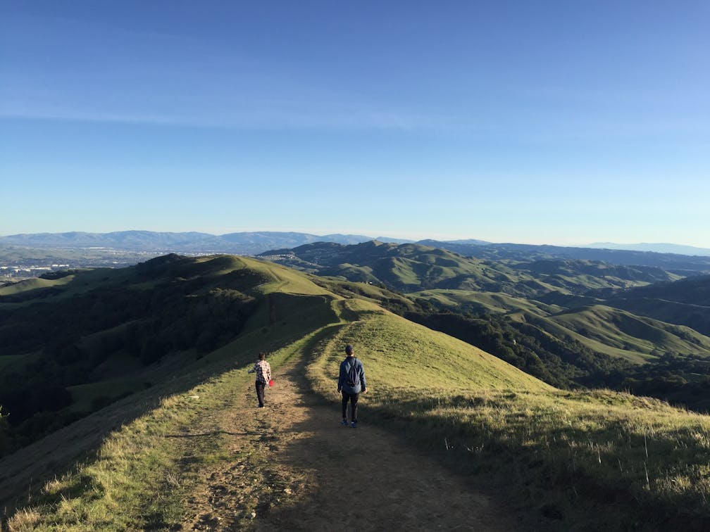
A clear winter day calls for a long hike to savor some of the Bay Area’s most beautiful scenery along with some flowing cascades after rain. Las Trampas Regional Wilderness awaits in the East Bay with a 6.8-mile loop hike on the park’s western ridge. Start with a commanding 0.5-mile climb on the paved Rocky Ridge Road. Gaining 2,000 feet in elevation, you’ll also get some good views of Mount Diablo. When the pavement ends, follow Rocky Ridge View Trail and continue up (note: the trail narrows here and can be muddy after rain).

At the hike’s highest point on the ridge, views unfurl from the San Ramon Valley all the way to the Delta. But the best scenery is yet to come as you take Sycamore Trail past an enormous rock outcropping favored by adventurous scramblers (and by poison oak—be careful!). Also on the scene: grazing cows. Soon you’ll reach another vantage, this one sweeping from Marin’s Mount Tam in the north to San Francisco and the bay, the Bay Bridge tower, and all the way south to where the Dumbarton and San Mateo Bridges loom.
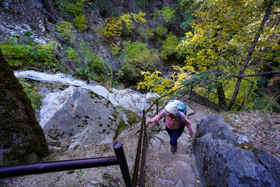
Continue down the trail and into a change of scenery among a series of switchbacks through grassland and oaks. Towards the bottom, rock-lined waterfalls flow after rains. Enjoy the oases before venturing steeply uphill on Devil’s Hole Trail to reach the top of the ridge and more bay views. Continue along the ridge until Elderberry Trail, the final, shaded, gently descending stretch. At the bottom of the hill keep left at the junction to complete the loop.
From I-680, take the Crow Canyon Rd. exit west. Turn right on Bollinger Canyon Rd., and follow it to the main parking area at its end. Parking is free. Dog-friendly!


