Mulholland Magic

Hike Mulholland Ridge Open Space

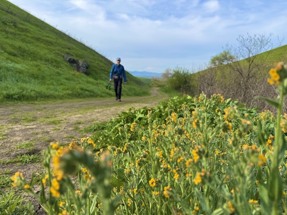
To find a hidden slice of open space with great views and autumn hues, head to Mulholland Ridge Open Space Preserve, a little-known 250-acre open space area along Donald Drive on the boundary of Orinda and Moraga in the East Bay. Do the easy 2.5-mile out-and-back Mulholland Ridge Trail, strolling through golden cattle-grazed grasslands spotted with oak and coyote bush chaparral.

Keep an eye on the sky too. White-tailed kites, red-tailed hawks, and American kestrels like to hover low against the backdrop of Moraga Valley to the west and Mount Diablo to the east. The trail is paved the entire way to the gate at the top of Donald Drive, the entry for Orinda hikers and typical turn-around point. For more stunning views though, continue straight through the gate and immediately take a left at the bench. A 0.5-mile dirt ridgetop path leads to a water plant where a handful of meandering narrow trails are etched into the honeyed hillside on the right, overlooking neighborhoods accented by quickly changing arboreal bursts of bright green, red, and orange. Autumn calls!

Mulholland Ridge can be reached from the top of Donald Dr. in Orinda, or from the Hacienda de las Flores parking lot in Moraga. From Hacienda de las Flores, follow trail signs up behind the main building. Exit the gate at the top of Hacienda Trail and turn left to start the hike at the bottom of Donald Dr. Open dawn to dusk. Dog-friendly on paved portion.

Trending Stories NorCal

View all Stories
  1. All right, Almaden!

    Take a trip through time on this 5-mile loop in Almaden Quicksilver County Park. Explore the ruins of an old cinnabar mine and enjoy the first hints of wildflower season.

    View
  2. Waterfalls and Wine Pours

    Cooler temps, green hills, and the return of our magnificent waterfalls! This family-friendly 2-mile hike at Uvas Canyon County Park in Morgan Hill is a great way to get the most out of a short hike post-rain.

    View
  3. Woman hiker is climbing up the ladder in the Steep Ravine section of the Dipsea Loop Trail on Mount Tam

    Misty on Mount Tam

    Mount Tam’s 3.9-mile round-trip Steep Ravine and Dipsea Trail Loop weathers the wets and wilds with some confidence, sheltered in parts by redwoods, and wowing with a waterfall.

    View
  4. Mile-Long Cataract Club

    In winter after heavy rains, the north flank of Mount Tam glows with flows. The nearly mile-long series of waterfalls—Cataract Falls—transforms into a supercharged spectacle. Starting at Alpine Dam, a 1.6 mile (one-way) narrow trails threads through redwoods and ferns along Cataract Creek.

    View

Trending Stories SoCal

View all Stories
  1. Peace Labyrinth

    Hidden in LA’s historic West Adams district, the Peace Awareness Labyrinth & Gardens is a welcome respite from the norms of urban noise.

    View
  2. Weekend Sherpa Podcast: Take It Outside

    Adventure for your earbuds. What's new in the world of the outdoors? Listen to Weekend Sherpa co-founders discuss local hikes, beaches, bike rides, camping spots and all kinds of travel and adventure in California and beyond!

    View
  3. Hikers sitting on a large rock slab next to Three Sisters Falls in Cleveland National Forest Southern California near Julian

    Three Sisters

    Good things come in threes at this hike to a lovely trio-tiered waterfall in Cleveland National Forest. The 4.25-mile out-and-back hike rambles among rolling hills, with rocky mountain views as switchbacks take you down to a lush canyon and the falls.

    View
  4. People gathered around a tree at an LA Park as part of the Tree Tour led by Stephanie Carrie

    LA's Tree Tour

    Los Angeles is famous for its iconic palm trees but did you know that LA is home to one of the most diverse urban forests in the world? With over 1,000 different tree species lining its streets, LA offers a unique urban canopy waiting to be explored. One of the best ways to discover it is by joining a Tree Tour

    View