Tank You Very Much

Hike Pemberton Steps to San Francisco's Tank Hill

Quietly located just below Twin Peaks, tiny Tank Hill is a premier place for gaining an incredible vista of our city by the bay. How do you get to it? Take the stairs! This 1-mile (all-in) walk starts just above the intersection of Clayton and Corbett, where you’ll find the base of Pemberton Place (aka Pemberton Stairs).

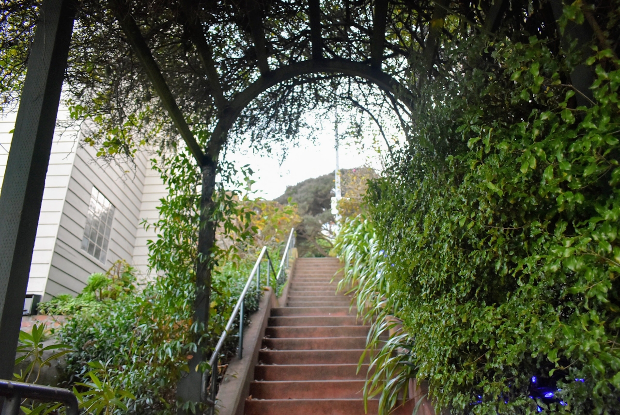
Once upon a time, conquering San Francisco’s steep flights of stairs was one of the quickest ways to scale the city. Today the steps provide a quiet reprieve from the hustle and bustle. The stairs of Pemberton Place are divided in a trio of sections, each with unique characteristics. The first part, rising from Clayton Street, features bright red bricks, quaint homes, and wooden benches for taking it all in.
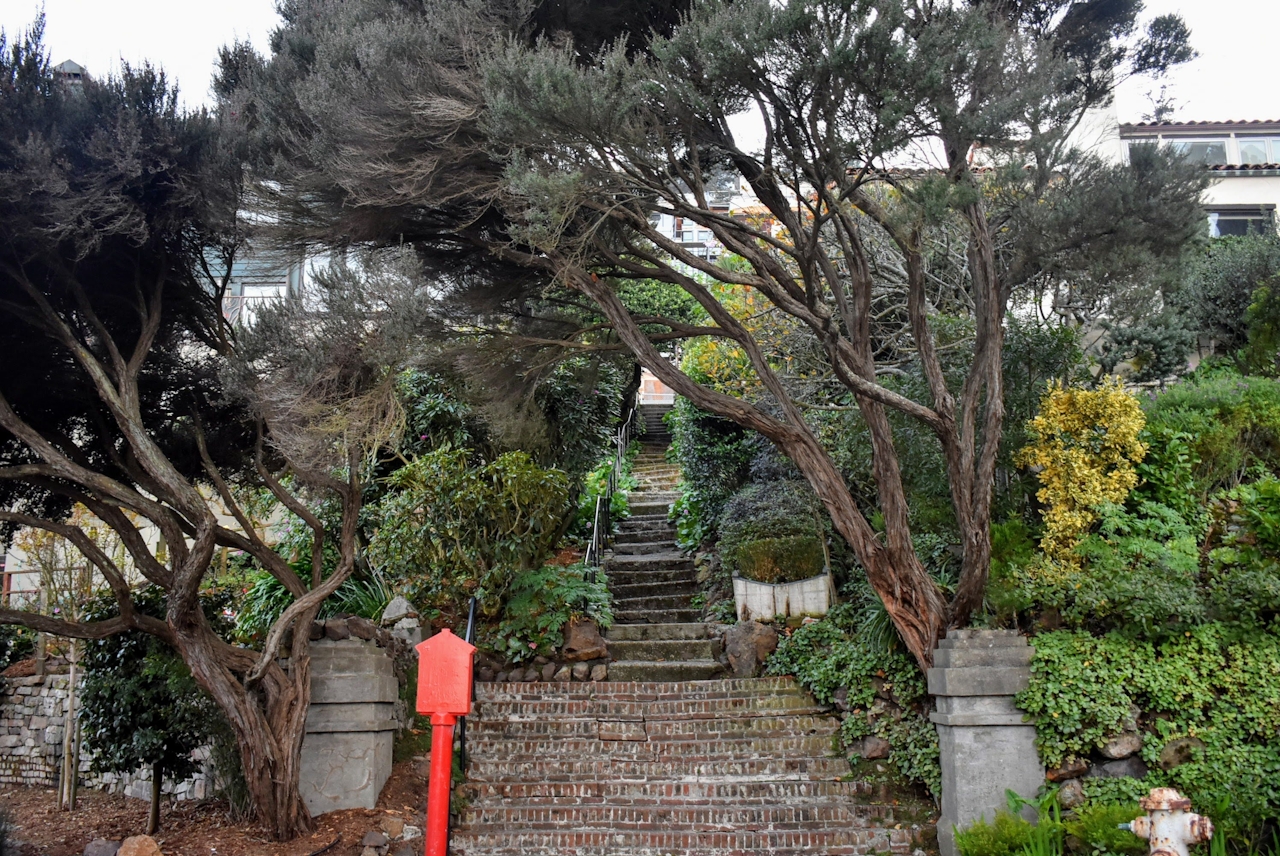
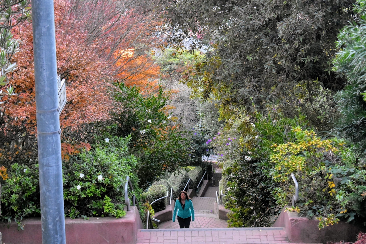
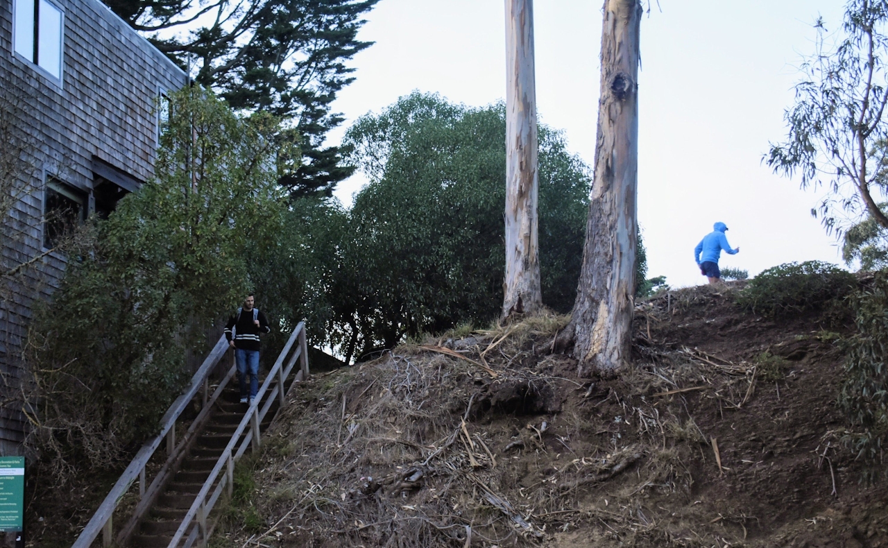
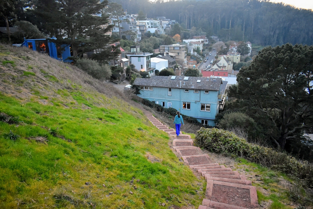
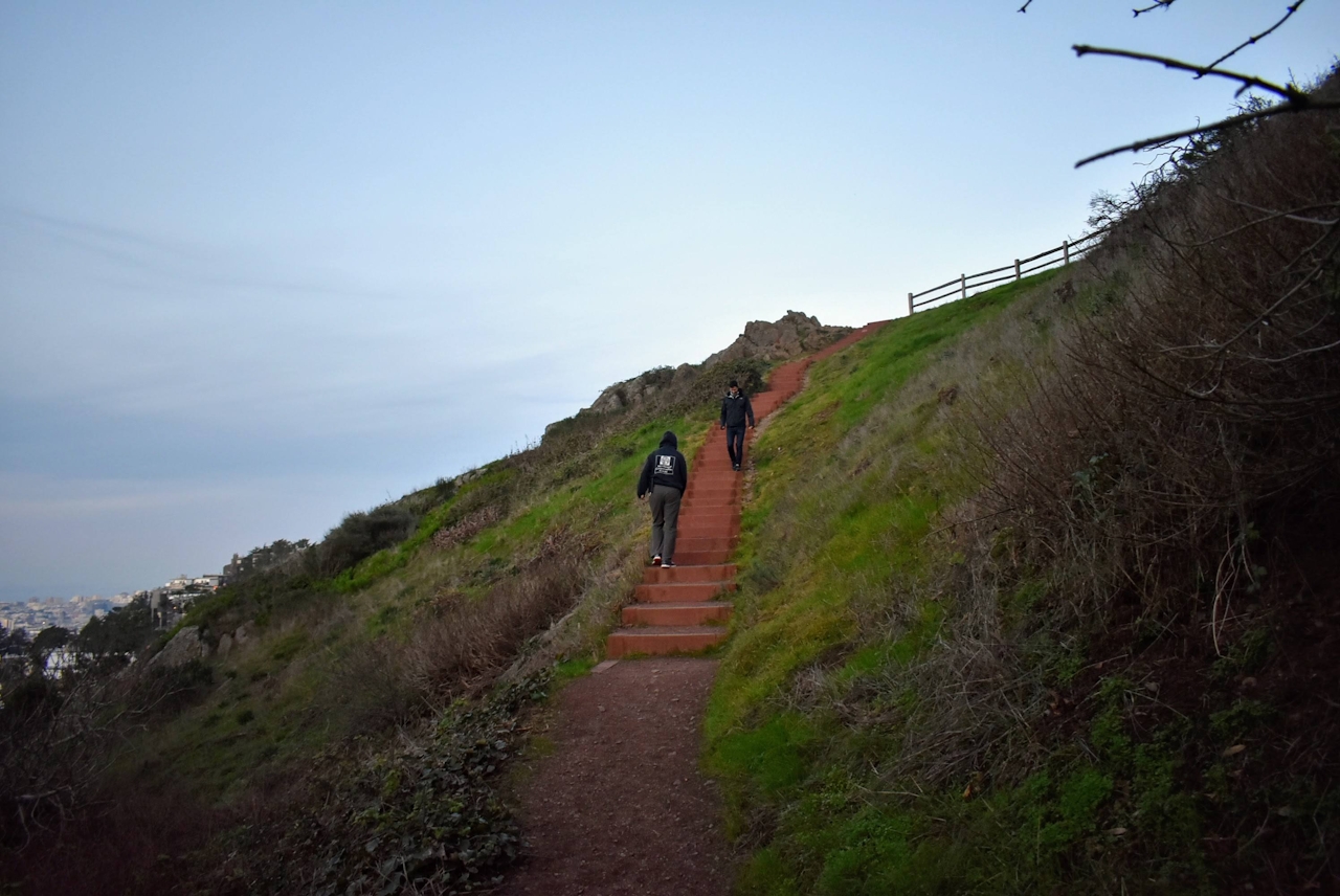
When you reach Villa Terrace, cross the street to the second flight—cement steps overgrown with ferns and shrubs (just consider it the awkward phase). From here cross Graystone Terrace and take the last flight of stairs up charming cobbled and moss-covered brick steps surrounded by lush private gardens and twinkling lights. (Views of San Francisco are beautiful from here.) At Crown Terrace, make a right and head to Twin Peaks Boulevard. Across the street, you’ll see the stairway leading up to 650-foot Tank Hill.

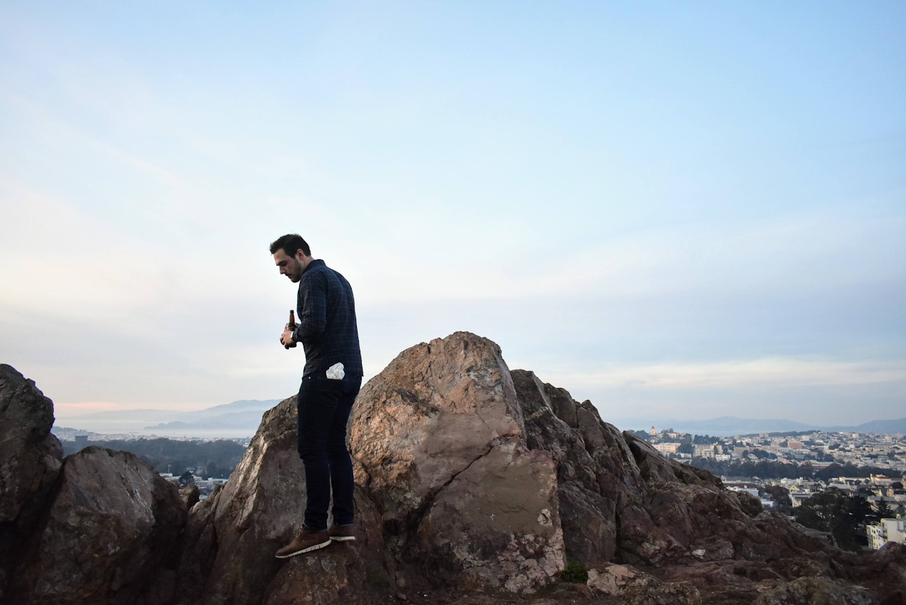
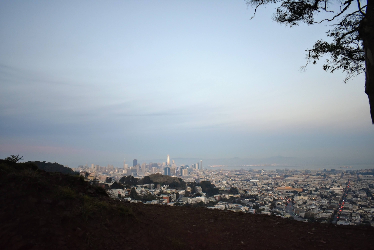
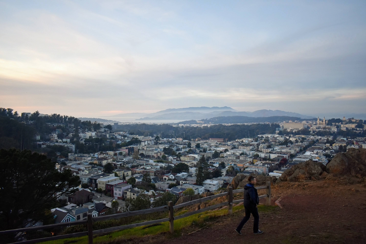
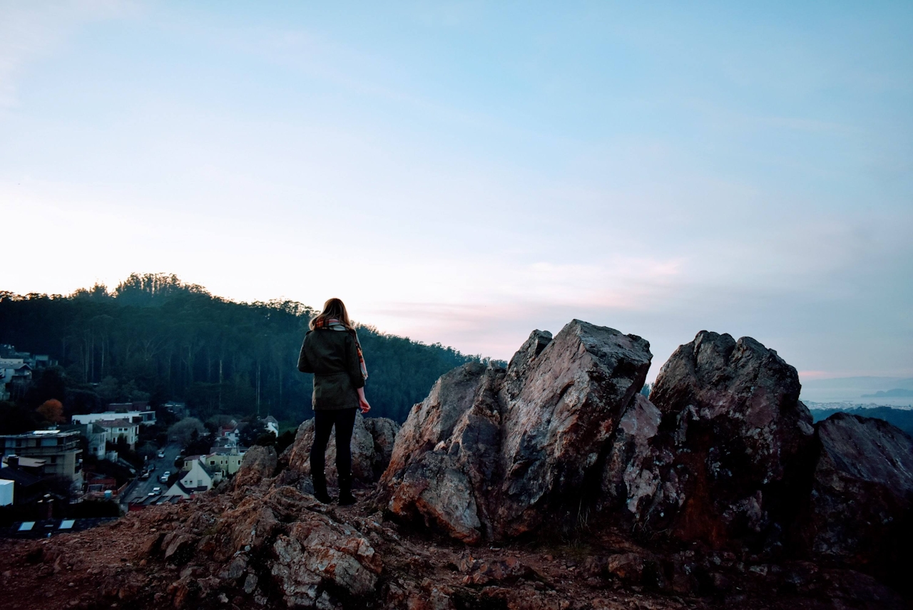
Sure, it’s 300 feet below towering Twin Peaks, but the secluded oasis and 180-degree view make it quite the ideal spot. The Presidio rolls its way to the Golden Gate and San Francisco's skyscrapers shimmer below. Spend some time exploring the little park’s trails. Tourists are rare; however, you may cross paths with locals coming out to snap some photos, hula hoop, picnic, or watch the sunset.

Here's a map to the start of the walk. Dog-friendly!

Trending Stories NorCal

View all Stories
  1. Walk on the Wise Side

    A wise man once said, “Walk it off.” And San Francisco has just the place for a colorful walk via a 2.7-mile loop along Philosopher’s Way Trail in the 318-acre John McLaren Park (S

    View
  2. Hiker on the SCA trail in Marin Headlands with view of the Golden Gate Bridge

    Headlands Over Heels

    People come from all over the world to get a glimpse of the Golden Gate Bridge. Get a dramatic and novel view of the bridge without all the people on this moderate 6-mile hike in the Marin Headlands.

    View
  3. woman hiking Mt Tam east peak
    Sponsored

    Marquee Marin

    There may be no better place to find the best in coastal outdoors than the Marin Headlands. Bluff-side hiking trails, beautiful sandy beaches, big Pacific views, an iconic lighthouse, and unique lore in the area’s historic batteries are all part of the action here.

    View

Trending Stories SoCal

View all Stories
  1. Woman hiking the San Onofre Bluffs Loop Trail to San Onofre State Beach in San Diego County

    Bluffing Good!

    Lovely coastline, beautiful beaches, unique geological history, and picturesque sandstone cliffs with limited foot traffic in San Diego County? Head to San Onofre State Beach and the 5-mile San Onofre Bluffs Loop Trail.

    View
  2. Can We Get a Whoop Whoop!

    City, mountain, and ocean views all in one hike? Whoop whoop! It’s no surprise the the Kenter Fire Road and Whoop-de-Doos Trail (a combo of fire road and singletrack) is a favorite among local mountain bikers and hikers alike.

    View
  3. The Big Chill

    In LA, finding a place to chill can be the ultimate flex. So flex, in Franklin Canyon! This unexpected oasis has plenty of shade, cool lake breezes, and ample picnicking spots. Enjoy it on an easy-going 1-mile stroll along its reservoir and duck pond.

    View