Briones Bountiful!
Hike to Big Views at Briones Regional Park in the East Bay

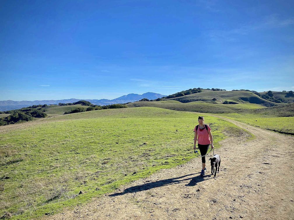
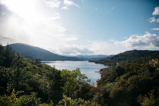
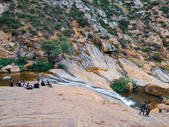
As the outdoors are becoming an escape for everyone, one local park seems to remain a great spot for getting outside with as much space as possible. With over 6,000 acres of rolling hills teeming with trails, Briones Regional Park has a classic route to see almost all of what the park has to offer. This 7-mile circuit passes the two highest points in the park, Mott’s Peak and Briones Peak.


Start at the Bear Creek Staging Area and follow Old Briones Road Trail to the Valley Trail, getting beautiful views of the surrounding green hillsides. After exiting the valley, take a left onto the Briones Crest Trail to continue your climb. After reaching Briones Peak, continue left on the Briones Crest Trail across the nearly flat plateau. Here you get vast views of the Carquinez Strait.
After a slight descent, follow the junction to the right and then again to the left to remain on the Briones Crest Trail. Shortly after passing a small pond, Mott’s Peak will be in your sights, which can be summited by taking a small footpath on your left. After returning to the Briones Crest Trail, the remaining 3.3 miles of your hike continues through varied open terrain with beautiful views of the surrounding hills.
This hike begins and ends at the Bear Creek Staging Area off Bear Creek Rd. The trail can be quite muddy so it is best hiked on a dry day without precipitation the day before. Map of the park. Some restrooms are unlocked at the staging area; however, no water is available. Dog-friendly!
Story and photos by Brad Hyland, @bradhylandphotography


