Rockin' Clevenger
Hike to Rocking Chairs and Epic Views at Clevenger Canyon in North San Diego County


North or south? San Pasqual’s Clevenger Canyon in North County San Diego has both south and north trailheads about half a mile apart. We’re going south this time, for a rocking chair good time (read on)! This trail nets you 5.4 miles, over 1,300 feet of gain, and fantastic views.
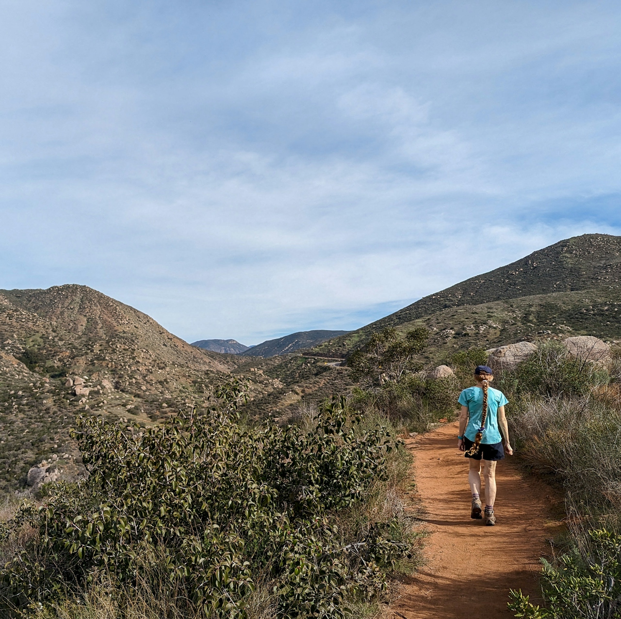
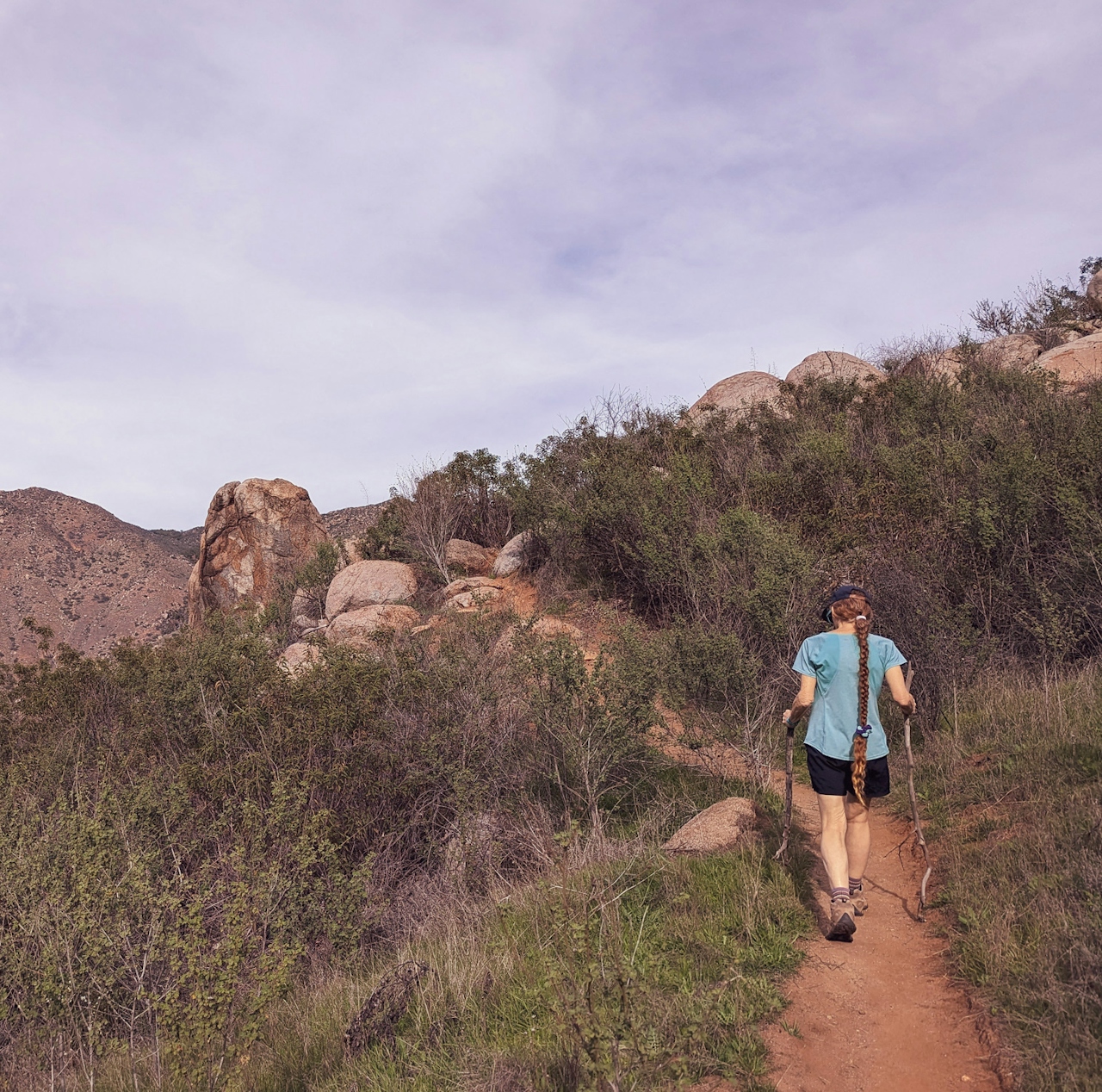
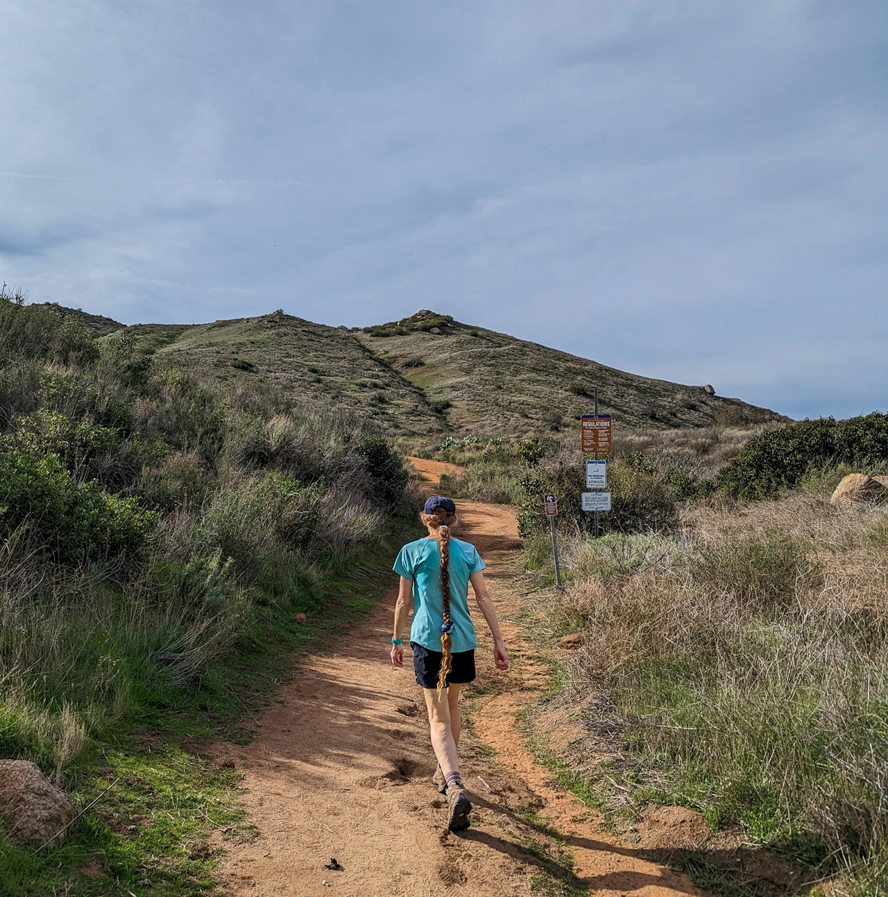
Park at the small paved lot (marked by signage) on the south side of the busy CA-78/San Pasqual Valley Road. Switchbacks don’t waste any time showing up as you begin your ascent (ignore any junctions and follow signs for the South Clevenger Trail).
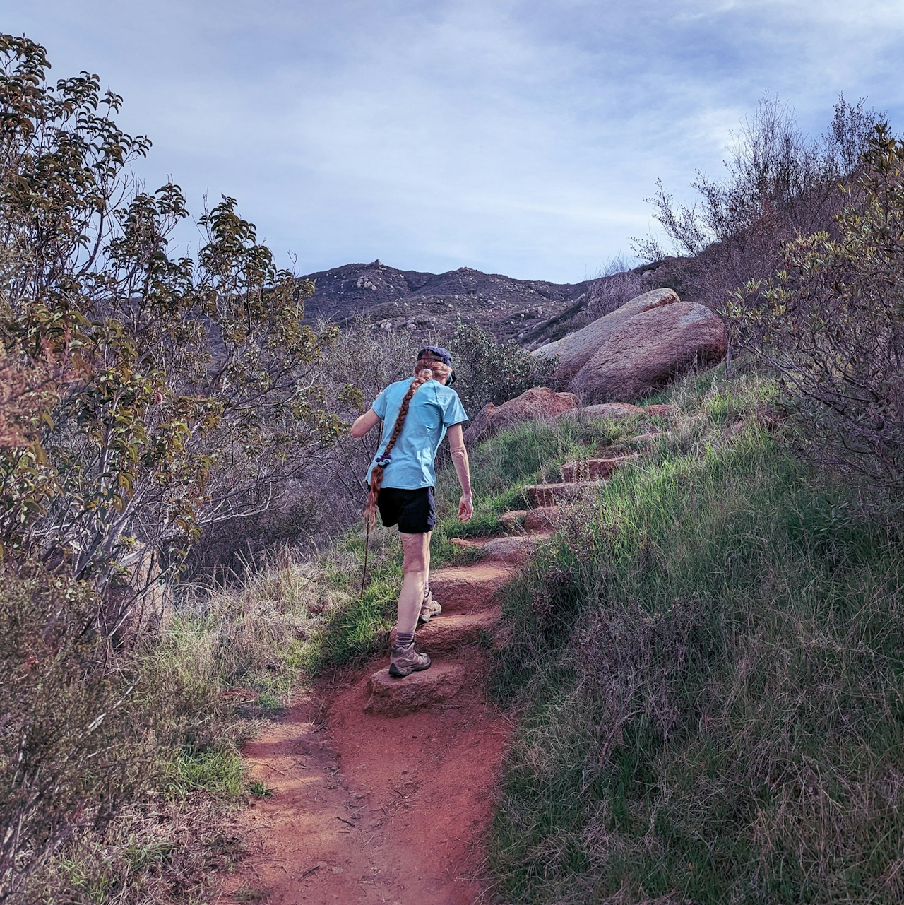
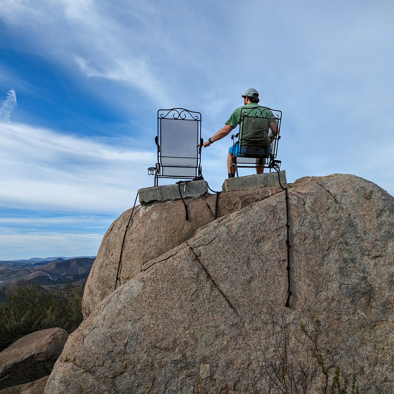
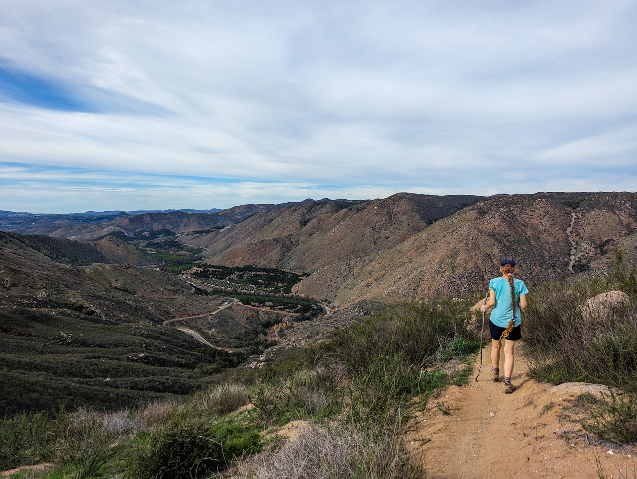
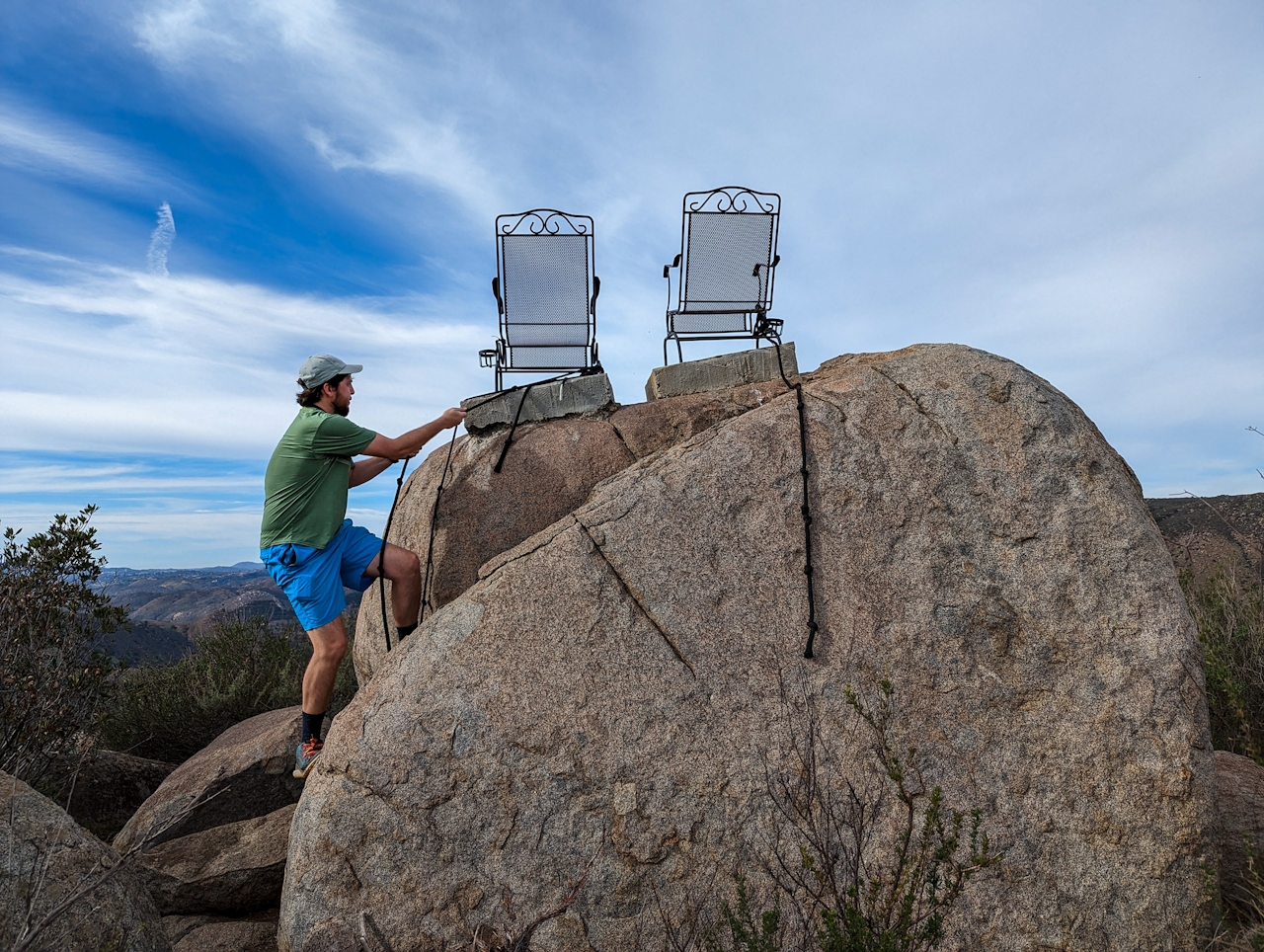
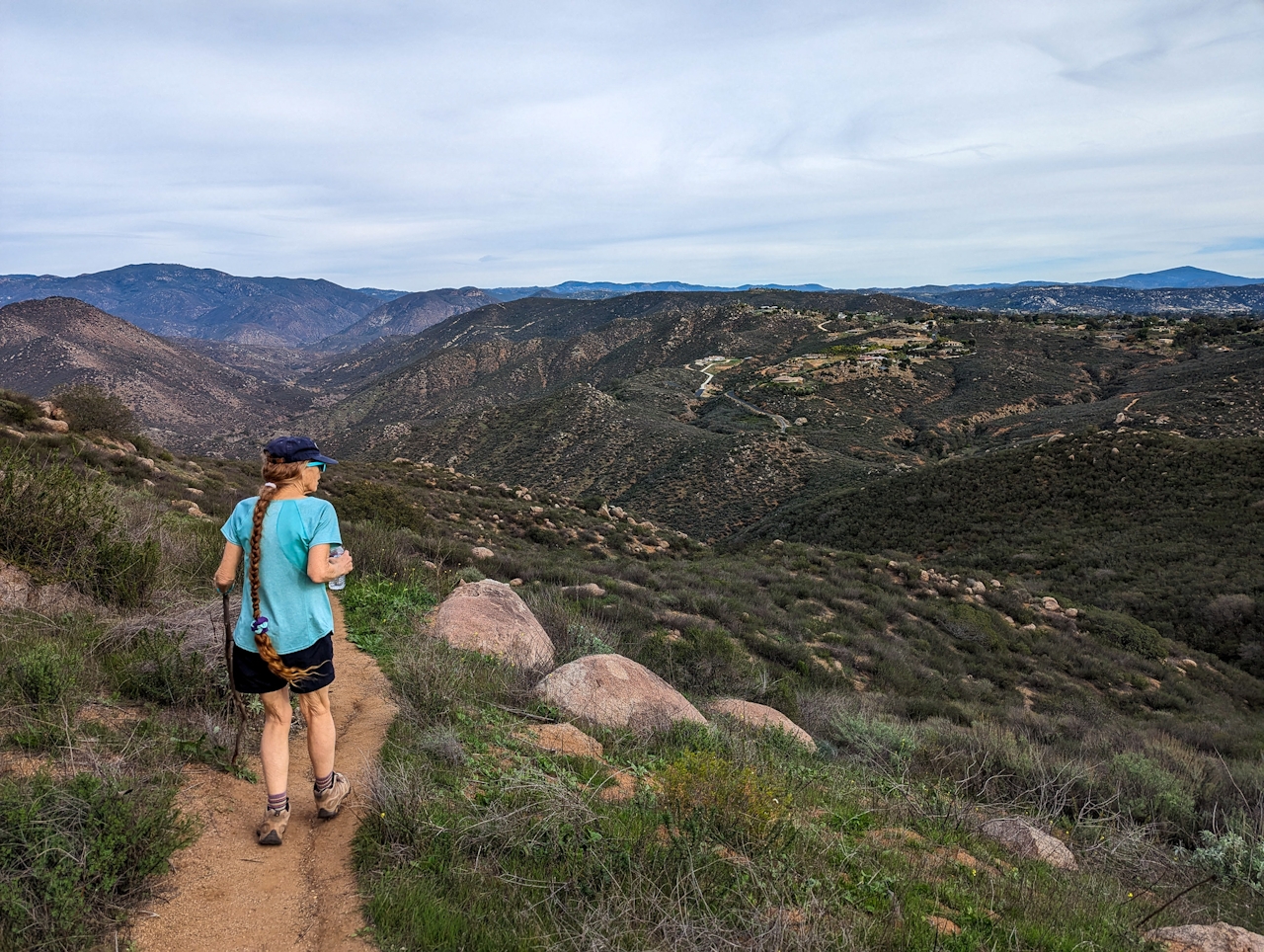
Dense chaparral surrounds the trail on the rocky hillside, and in spring small patches of vibrant wildflowers pop up. At the 2-mile mark, the trail flattens and turns. Valley vistas are huge on this part, and the best place to enjoy them is from two rocking chairs!
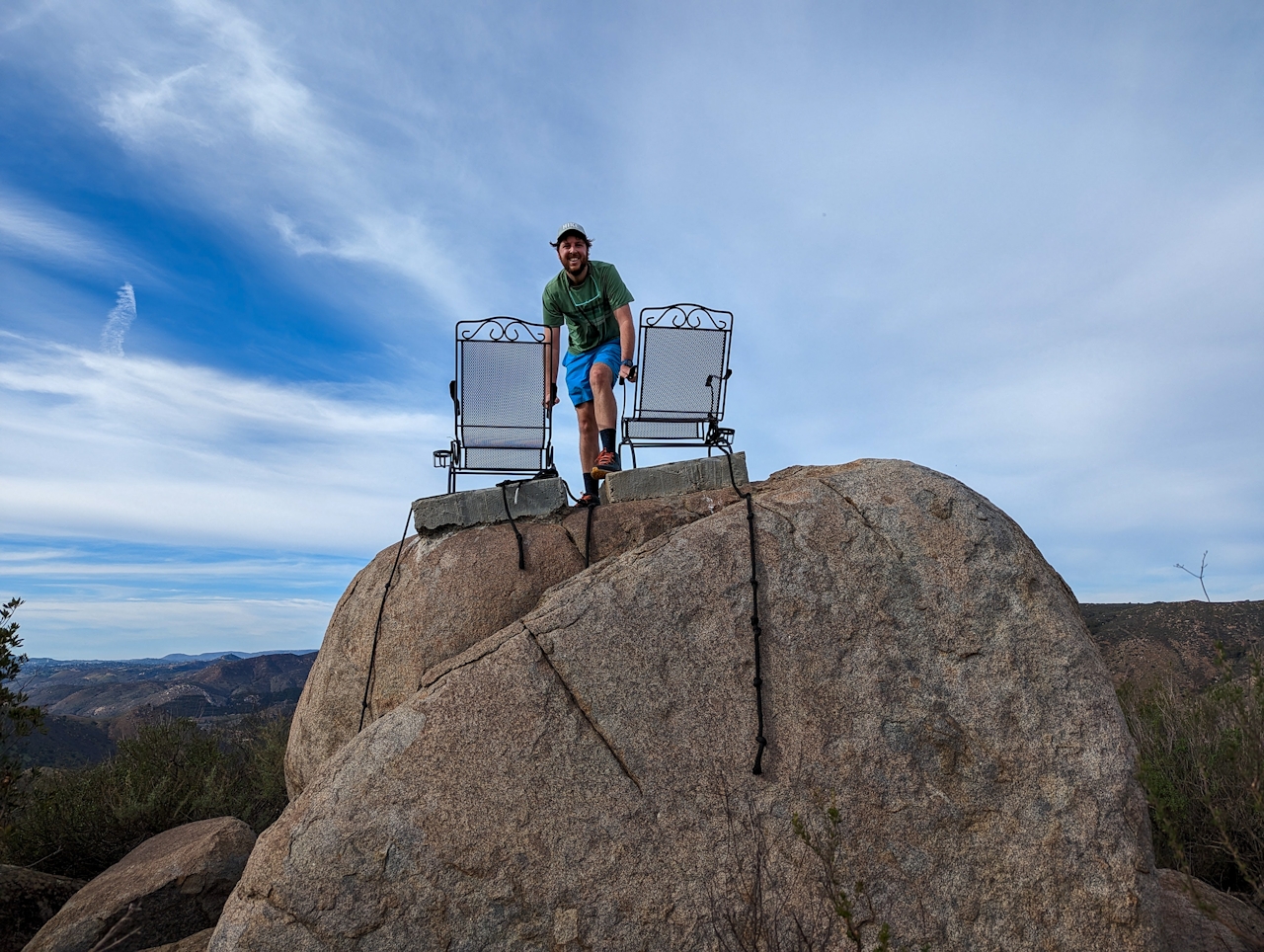
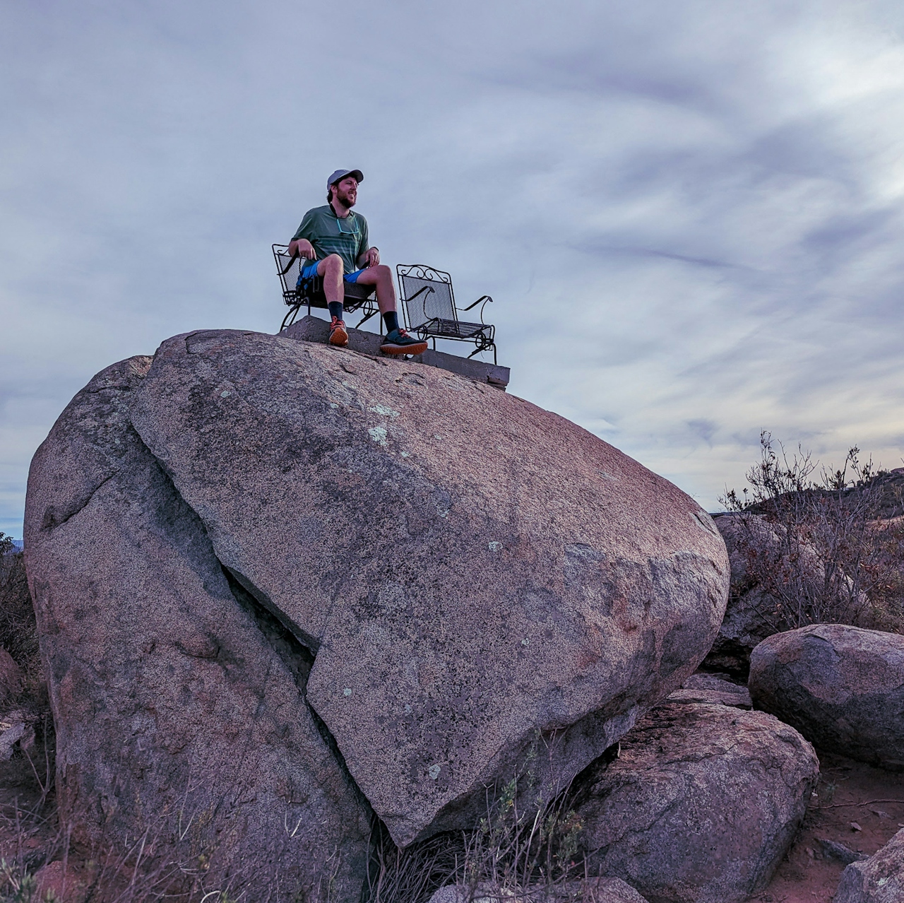
You’ll see them perched on a giant boulder on your right; just take a short spur trail and scale the rock using the attached ropes. To the west lies the massive valley stretching to San Marcos, but you can also catch the Cuyamaca Mountains to the east and even the Palomars to the north. {NOTE: Though the chairs are generally safe, they may be a bit scary for those with a fear of heights, given their wobbly rocking; use good judgement and caution in bad weather or post-storm.} Continue on to find the official end of the trail at the hike’s rocky summit, simply named Peak 1635, just over a half mile from the chairs.
To get to the Clevenger Canyon trailheads in San Pasqual, take the I-15 to the Bear Valley Pkwy. exit and head east. After 0.6 mile, turn right onto San Pasqual Rd. Take this for 3.4 miles to CA-78/San Pasqual Valley Rd. and turn right, heading east. After 6.7 miles, the south trailhead and lot will be on your right; another 0.6 mile finds the north trailhead and lot on your left. Dog-friendly!
Stories and photos by Matt Pawlik, @mattitudehikes







